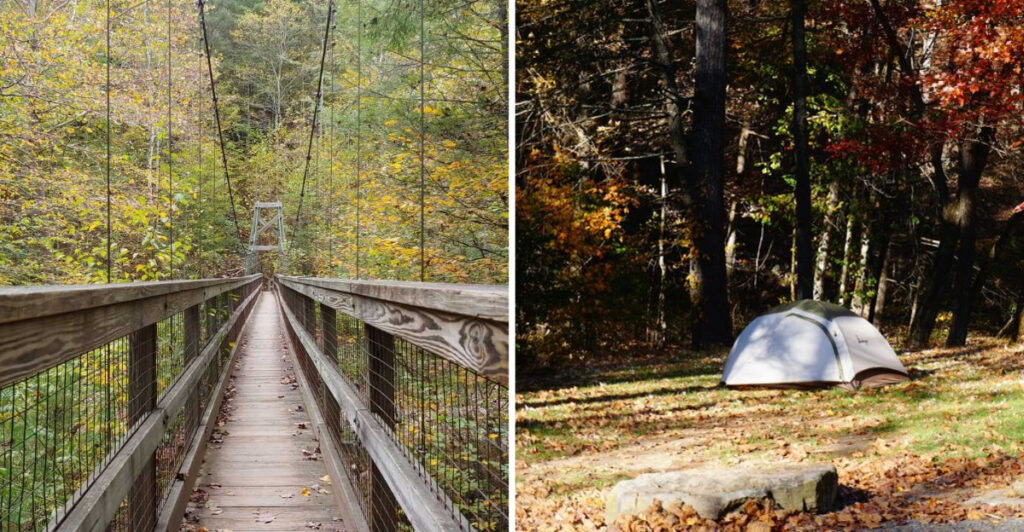
This Virginia hike ends with the trail moving under your feet.
The first mile keeps things calm. Trees close in, the river gets louder, and then a wooden suspension bridge appears ahead like the forest has been hiding the main event.
The hike is short enough for a spontaneous outing, but it still delivers real backcountry atmosphere. You descend toward the gorge and head back the same way for roughly two miles total.
Do not let the mileage make you careless. Check current alerts and pack enough water to stay comfortable.
Virginia handles the scenery. The bridge handles the moment your peaceful walk starts swaying beneath your feet.
A Gravel Forest Road Starts Turning Down The Volume
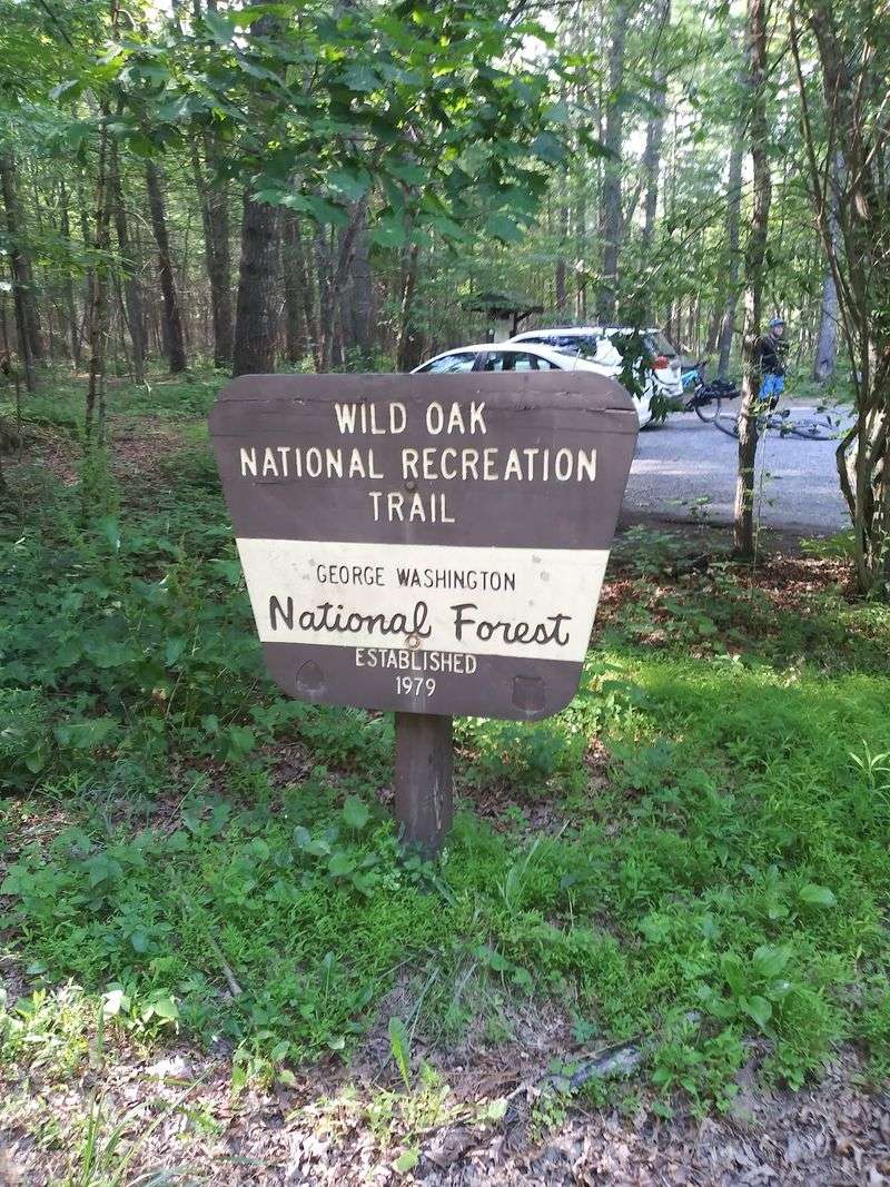
The adventure begins before your boots touch dirt. Forest Road 95 leaves the busier valley behind and carries you into a quieter part of the North River Ranger District.
The road is unpaved, and conditions can change after storms, flooding, fallen trees, or maintenance work.
A passenger vehicle may manage it in favorable weather, but checking current forest alerts before leaving pavement is far wiser than letting optimism drive the suspension.
Cell service can fade as the road winds deeper into the forest. Downloading an offline map and saving the route before departure keeps a scenic drive from becoming an improvised navigation seminar.
Parking near the Wild Oak National Recreation Trail access is limited and undeveloped. Arriving early on pleasant weekends gives you more room to park without blocking gates, road edges, or other vehicles.
There is no polished visitor center waiting with snacks and a charging station. Bring water, food, a basic first-aid kit, and everything you expect to need for the return drive.
The forest road does not roll out a welcome carpet. It simply removes the noise one gravel crunch at a time.
The Trailhead Requires A Map Instead Of A Street Number
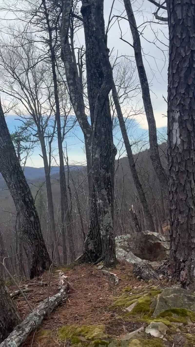
Some trailheads announce themselves with giant signs. This one prefers coordinates and a little homework.
A practical starting point for the short bridge hike sits near the Wild Oak National Recreation Trail parking area along Forest Road 95.
Navigation apps can be inconsistent in remote national-forest terrain, so a downloaded Forest Service map or GPS-enabled offline map is useful.
The coordinates commonly used for the parking area are approximately 38.3676, -79.1676. Treat them as a navigation aid rather than permission to park wherever the phone stops talking.
Look for official trail markers, avoid private roads, and make sure your vehicle is completely clear of travel lanes. Seasonal closures or temporary road restrictions can change access even when an older online map shows the route as open.
This is also a multi-use landscape. Hikers may share sections with mountain bikers and horseback riders, so keeping dogs controlled and leaving room for others matters from the first step.
The trailhead may not have a mailing address, but it has no trouble delivering you into the woods.
The First Mile Trades Drama For An Easy Rhythm
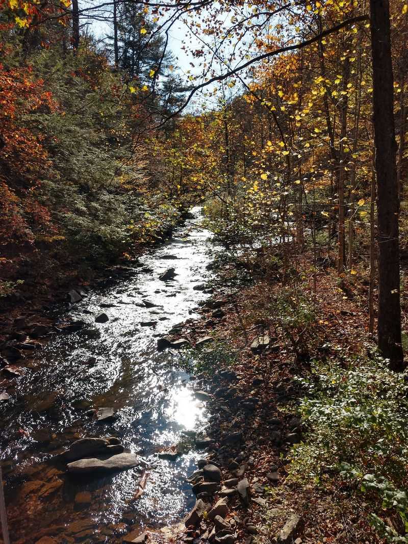
Do not expect the trail to begin with a heroic climb. The opening mile earns attention by making the forest feel larger with every gradual step.
Much of the approach follows broad, gently descending terrain associated with the Wild Oak trail system and old transportation corridors in the North River area. Roots, loose stones, mud, and leaf cover can still interrupt the easy rhythm, especially after rain.
Oak and other hardwood species shape the canopy. Spring adds fresh green growth and woodland flowers, summer deepens the shade, and autumn turns the same route into a corridor of copper, gold, and red.
Stay alert for riders and cyclists approaching from either direction. Hikers should yield appropriately, step to the safe side of the trail, and speak calmly around horses rather than making a surprise appearance from behind a tree.
The return journey climbs what the approach descends, so save some energy even when the walk toward the river feels relaxed. A short distance can still work harder when humidity, heat, or slippery ground joins the group.
The first mile does not show off. It quietly lowers you toward the part of the hike that does.
North River Announces Itself Before The Bridge Appears
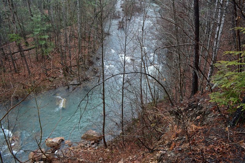
The sound arrives first. Water begins filling the spaces between footsteps, and suddenly the forest has provided its own soundtrack.
North River runs through a wooded gorge in the ranger district, supporting fishing, hiking, biking, and camping opportunities. Flow changes with rainfall, snowmelt, drought, and seasonal weather, so the river you meet in spring may look very different by late summer.
Wet conditions can make nearby rocks, roots, and banks slippery. Stay on the established route, keep back from unstable edges, and never assume a calm-looking pool means the current is harmless.
The water and surrounding slopes create the sense of depth that makes this short outing feel more remote than its mileage suggests. You are not simply approaching a bridge. You are dropping into a corridor shaped by moving water and Appalachian terrain.
Pause when the river comes into view, but do not turn the bank into an off-trail shortcut. Trampled vegetation and eroded slopes are poor souvenirs.
The river does not need a grand reveal. It lets the sound build suspense until the trees finally move aside.
A Swinging Bridge Gives The Hike Its Personality
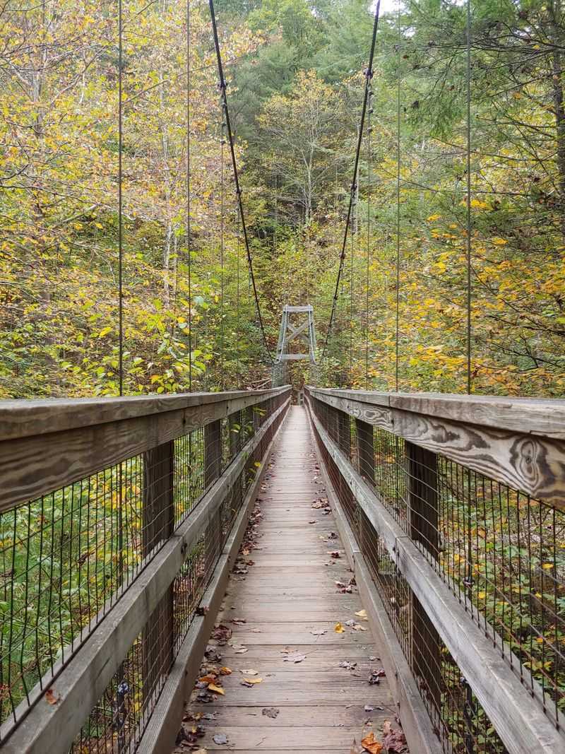
Then the trail plays its best card. A suspension bridge spans the North River, and the first step makes it clear that “swinging” is not decorative language.
The swinging bridge is one of the features that draws hikers, cyclists, anglers, and curious first-time visitors into the North River Gorge. Its wooden deck and suspended construction allow some movement underfoot.
Cross one person or a small group at a time when the bridge is busy, follow posted limits, and avoid deliberate bouncing. Hold the side cables if the motion feels unfamiliar, and give anyone ahead of you enough room to reach solid ground.
The river view is the reward, but the bridge remains functional infrastructure rather than an amusement ride. Wet boards can become slick, while storms, high water, fallen limbs, or maintenance issues may affect access.
Children should stay close to an adult, and dogs need secure control before stepping onto the moving deck. A nervous animal can turn a charming crossing into a leash-management performance.
The bridge only takes moments to cross. Your knees may continue discussing it for several minutes afterward.
Turning Around Here Keeps The Adventure Near Two Miles
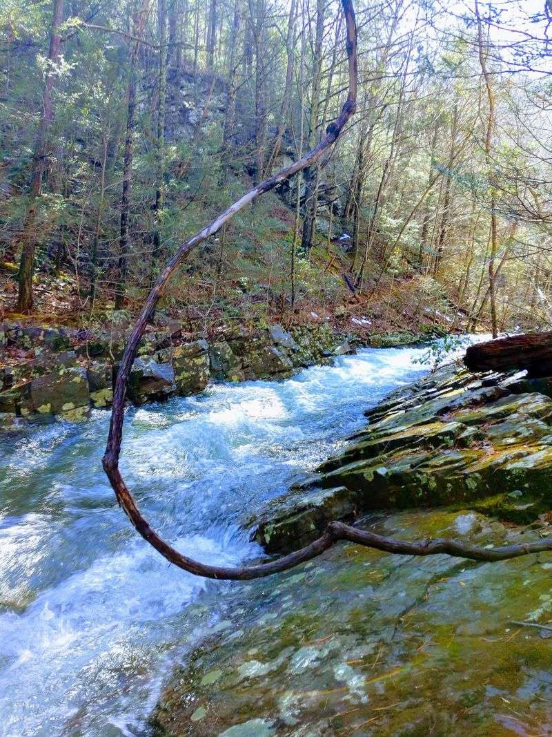
The bridge makes an excellent finish line without requiring a medal ceremony. Cross it, enjoy the gorge, then retrace the approach for a short outing of roughly two miles.
That short out-and-back does not cover the full North River Gorge route. Mileage can vary depending on where you park, which mapped access you use, and whether road or trail conditions require a different starting point.
The return begins uphill, though the grade is generally more forgiving than many mountain hikes. Loose stones and damp leaves still deserve attention, especially when tired legs begin treating every root as a personal insult.
Turnaround timing matters. Leave enough daylight for the return, particularly in autumn and winter when sunset arrives earlier beneath the canopy. A headlamp belongs in the pack even when the plan sounds too short to need one.
Families and casual hikers can enjoy the route, but “short” should never be confused with guaranteed suitability. Weather, fitness, footwear, and trail conditions shape the difficulty on any given day.
Stopping at the bridge is not quitting early. It is choosing the version of the hike that delivers the headline without sending dinner plans into the wilderness.
The Gorge Continues For Hikers Who Came Prepared
The far side of the bridge can make curiosity louder than common sense. The trail system continues into the North River Gorge, where a quick outing can become a much longer and more demanding day.
Extended routes may involve additional mileage, remote terrain, and river crossings that change dramatically with water level. A crossing that appears manageable in dry weather can become unsafe after rain, and turning back is always a valid decision.
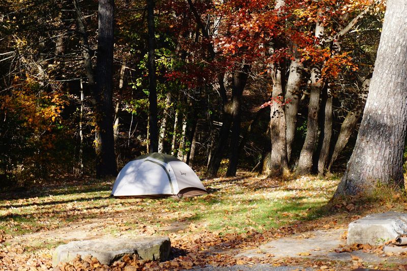
North River Campground offers a nearby base for longer exploration. The first-come, first-served campground connects visitors with the gorge, the Wild Oak trail system, fishing, biking, and other recreation.
Its operating season generally runs from early March into late December, subject to current conditions.
Anyone continuing beyond the short bridge outing should carry a reliable map, extra food and water, rain protection, a headlamp, and a plan shared with someone at home. Do not rely on cell service to repair a weak itinerary.
Check active alerts before the drive, respect any closures, and leave the river crossings alone when conditions look questionable.
The short hike gives you the bridge. The deeper gorge rewards hikers who bring enough preparation to match their curiosity.