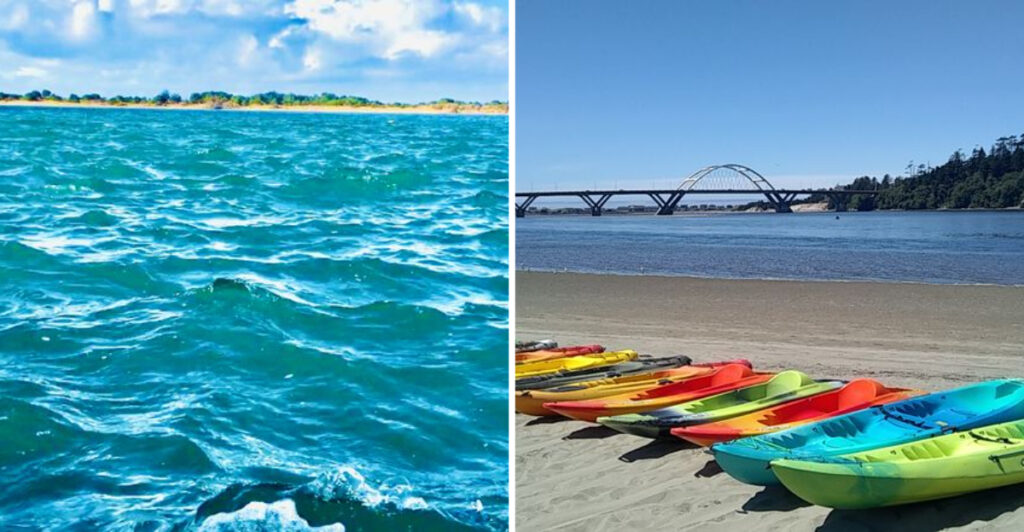
Relax mode: on. Oregon has rivers ready to go with the flow.
These spots skip the white-knuckle stretches and look for calmer summer water where paddling can feel more like cruising. The idea is simple: less rushing, more floating.
Conditions still matter. Tides can shift near the coast, summer levels can drop, and a mellow launch does not guarantee the whole river stays equally gentle.
There is also a 2026 rule change to know. Many nonmotorized boats now require an Oregon Waterway Access Permit, with some exemptions.
Check the conditions, bring a life jacket, and choose the right section before pushing off.
Then let the current handle the pace.
These rivers are not asking you to race downstream. They are giving you a very good excuse to slow down and stay awhile.
1. Kilchis River
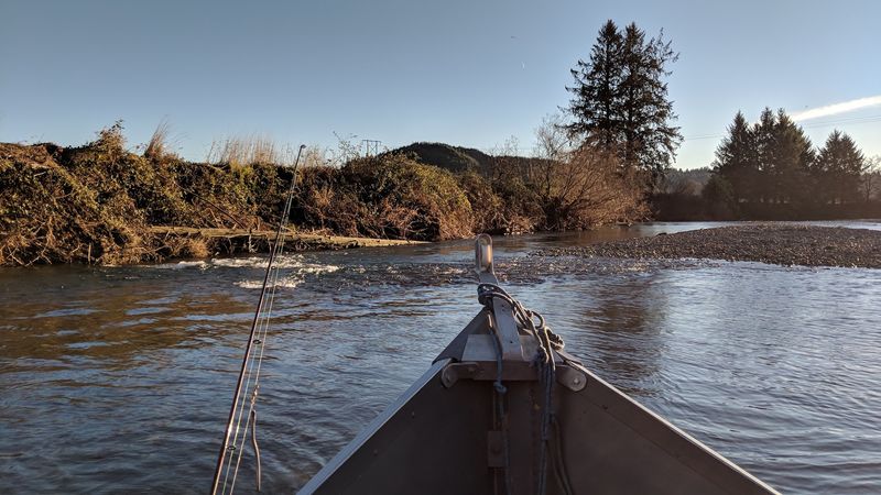
Summer changes the scale of this Tillamook County river.
By August 2026, water levels are low enough that the Oregon State Marine Board says the Kilchis is too shallow for drift boats at several access points. Paddlecraft and small rafts can still use Parks Landing, Mapes Creek, and Kilchis County Park.
By late summer, shallow riffles and exposed gravel bars can divide the Kilchis River into shorter paddleable sections.
Instead of treating it as a long through-float, look at the open launches as starting points for a short paddle, a swim, or time around the slower pools near established access. Clear water, cobble banks, and forested surroundings keep the setting distinctly coastal.
Low water also means more exposed rock. Water shoes help around cobble edges, and carrying a boat for a short distance may be part of the day if a shallow bar interrupts the route.
Pick a manageable stretch, leave plenty of time to turn around, and do not assume a route that worked in spring will still float cleanly in late summer. A short outing can still fill an afternoon once swimming, gravel-bar stops, and a slow lunch enter the plan.
2. Tualatin River
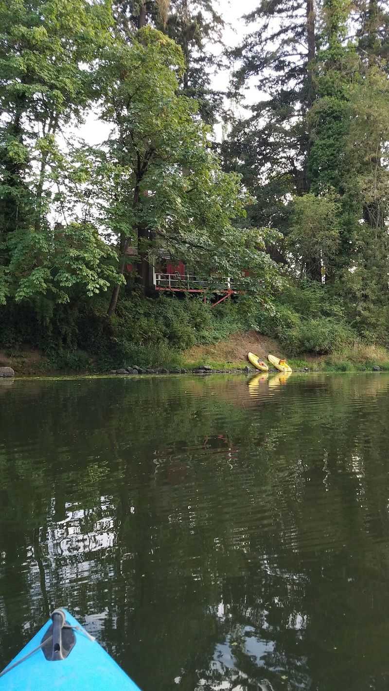
Flat water does not require a long drive from the Portland area.
At Cook Park and other developed access points, paddlers can slip onto a broad, slow-moving river lined with trees, wetlands, and suburban green space. The Tualatin River fits that easy pace especially well in summer.
Tualatin Riverkeepers currently runs beginner flat-water lessons and guided paddles here, and its August 2026 programming describes the river as calm and meandering.
A 3.6-mile self-guided Discovery Day route between Tualatin Community Park and Metro’s Native Plant Center gives a useful example of the distances people paddle on this part of the river.
Summer also brings a water-quality consideration. Warm temperatures and low flows can encourage cyanobacteria, so avoid water that looks foamy, scummy, unusually green, or paint-like, and check current advisories before launching.
You can keep the trip simple by choosing an out-and-back from a familiar park rather than arranging a shuttle. Wildlife can add another reason to slow down, with beaver-focused paddles and other nature programs currently using this same river corridor.
Paddle until lunch starts sounding important, then point the bow back toward the same dock.
3. Nehalem River
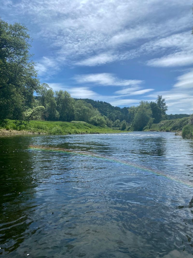
The coast adds an extra dial to this float.
Around Nehalem and Wheeler, the lower river meets Nehalem Bay and becomes part of a broad estuarine paddling landscape.
Tillamook Coast recommends the area for beginner and intermediate paddlers, with public access at the downtown Nehalem launch and Wheeler Marina.
That lower reach of the Nehalem River can offer calm water, but the direction and strength of the current change with the tide. An incoming tide can even give paddlers a push upriver.
Check both weather and tide before putting in. Slack tide can create an easier window, while stronger tidal movement near the bay mouth calls for more caution.
The scenery opens wider than it does on many forest rivers. Marsh edges, low hills, birds, and occasional harbor seals can all appear around the estuary.
Stay away from the ocean entrance if your idea of the day is truly mellow. There is plenty to explore before the river starts negotiating with the Pacific.
Staying inland leaves more room for stops along sheltered banks instead of managing stronger water near the bay entrance.
4. Alsea River
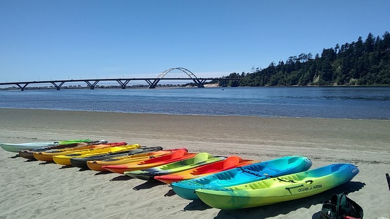
A summer river day near Waldport does not have to involve covering many miles.
Several recreation sites along Highway 34 provide access to the lower river corridor for swimming, paddling, picnicking, and fishing.
Blackberry Campground is one example where swimming is a popular summer activity, while River Edge also provides river access for canoeing and swimming.
The Alsea River changes character along its course, so this entry is about selected recreation sites and slower reaches rather than one continuous float from the Coast Range to the bay.
Summer can make sections shallow enough to require a portage. Travel information for the Campbell Park-to-Salmonberry Park canoe route specifically warns that some portaging may be necessary during summer months and also cautions paddlers about tree snags.
Blackberry Campground and other established access areas give paddlers places to launch, swim, and stop between shorter river sections. Launch for a short paddle, return to the same access, cool off near shore, then move the picnic blanket only if the shade does.
Farther west, Waldport also provides access to the Alsea River Water Trail around the bay and tidal waterways, where tide planning becomes part of the trip. If the river is too shallow for the route you planned, the recreation sites still give the day somewhere to land.
5. Little Nestucca River
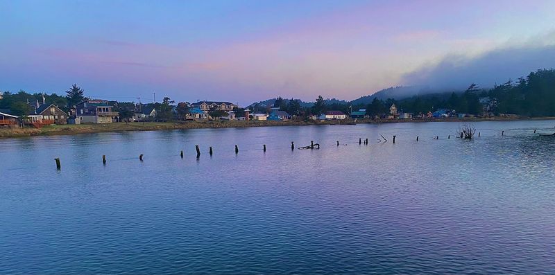
Wetlands take over the view near Nestucca Bay.
A public boat ramp on Meda Loop Road provides direct paddle access only a short distance east of Highway 101. From there, the lower river runs through the larger Nestucca Bay National Wildlife Refuge landscape.
The Little Nestucca River is one of several waterways included in the Tillamook County Water Trail system.
Local coastal paddling information describes the area’s rivers, sloughs, and backwater channels as flat-water options, while the U.S. Fish and Wildlife Service specifically points paddlers to the Meda Loop launch.
This is tidal country, so a slow day still depends on timing. Wind can build quickly on the coast, and currents become more noticeable closer to the bay.
Keep the route in the protected river and wetland system when calm water is the priority.
The surrounding refuge also gives you another option before or after paddling. Its Two Rivers Nature Trail reaches a viewpoint over the confluence of the Nestucca and Little Nestucca rivers.
The refuge setting also works well for anyone who likes a short water outing paired with an equally easy walk.
6. Siltcoos River
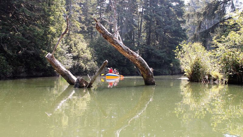
Forest eventually gives way to dunes south of Florence.
The route moves from forested water toward the open landscape of Oregon Dunes.
The river connects Siltcoos Lake with the coast through the Oregon Dunes National Recreation Area, and the surrounding Siltcoos Area remains open in 2026.
The Siltcoos River has long been used as a canoe and kayak water trail, but there is an important current access issue: the Forest Service lists Tyee Boat Ramp, a traditional paddlecraft access point, as closed.
Do not build the day around that ramp without checking for an updated opening or confirming another legal launch.
The broader area still offers river scenery, trails, campgrounds, and access points around the dunes. The Waxmyrtle Trail follows part of the river toward the beach, so a visit does not have to be abandoned if the preferred launch is unavailable.
When paddle access lines up, expect a route that looks increasingly coastal as it approaches dune country. For 2026, check the Forest Service status page before leaving Florence so a closed gate does not become the day’s main attraction.
7. Siletz River
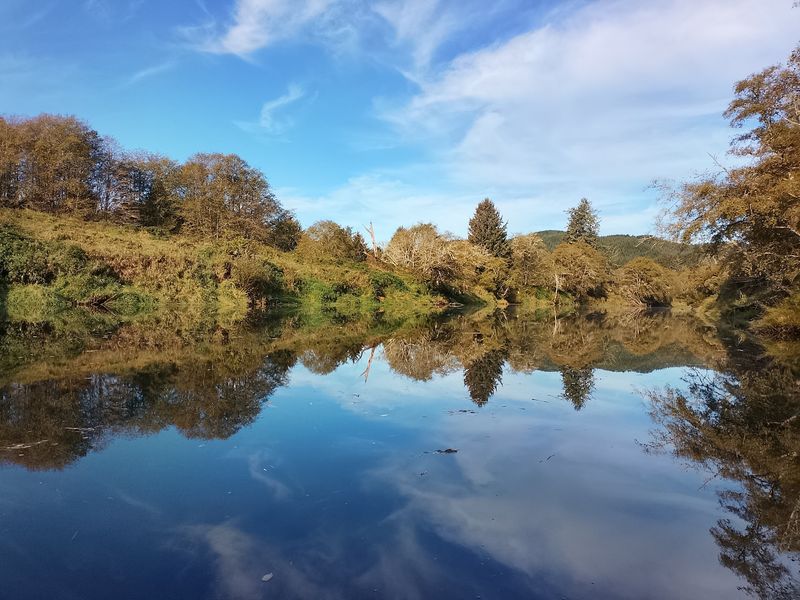
Siletz River access gets especially easy at two county parks.
Twin Bridges Park near Logsden has an asphalt boat ramp and specifically lists river kayaking and swimming among its recreation options.
Farther downstream, Strome Landing Park sits near the upper end of the tidal reach and describes its water as suitable for calm-water kayaking and paddling.
Upstream around Twin Bridges, the river has a more inland character with forested banks and a free day-use park for launching. Around Strome Landing, tidal influence becomes part of the experience, so timing matters more.
The river also supports salmon and steelhead runs, and motorized-boating rules vary by section.
For a relaxed outing, stay near a known county access rather than treating the whole Siletz as one continuous beginner float. A boat ramp, a picnic table, and a return trip to the same parking space can be enough.
Twin Bridges is also day-use only and currently charges no fee, which keeps an out-and-back plan especially easy.
8. Molalla River
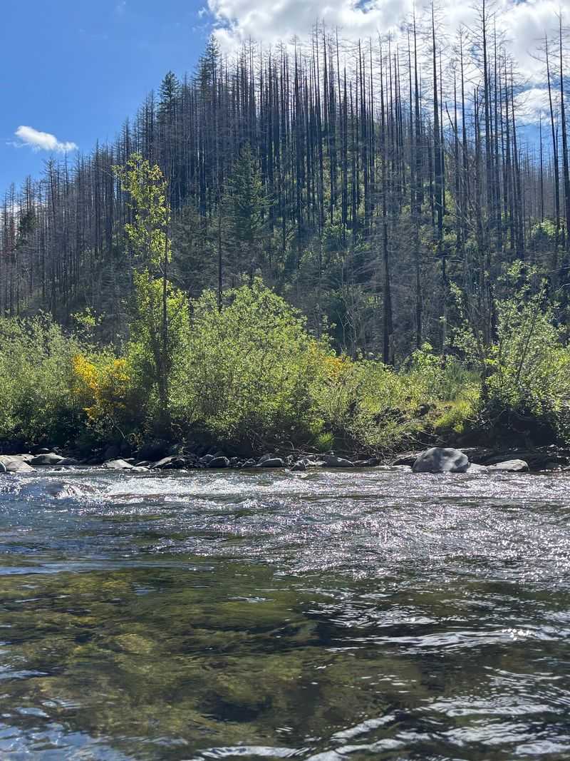
A cobble beach and swimming hole sound like a strong summer argument.
Three Bears Campground has exactly that, while Cedar Grove farther up the corridor also provides direct river access. Both sit along the Molalla Wild and Scenic River southeast of the town of Molalla.
The Molalla River is undammed and offers swimming, boating, camping, fishing, and whitewater recreation. In 2026, exact section choice matters here.
A major logjam fully blocks the river at river mile 38 downstream from Horse Creek Bridge. The Bureau of Land Management tells boaters to exit before the obstruction and warns of additional hazards connected to post-fire conditions.
Do not treat the corridor as an uninterrupted tubing route.
Use established recreation areas for swimming and short paddles where conditions allow, and confirm the current BLM river warning before moving downstream.
The forest, cobble beaches, and clear access points still give you plenty of places to stop. The logjam gets the final vote on how far the boat goes.
Cell service is also absent in much of the corridor, so download directions and current warnings before leaving town.
9. Coquille River
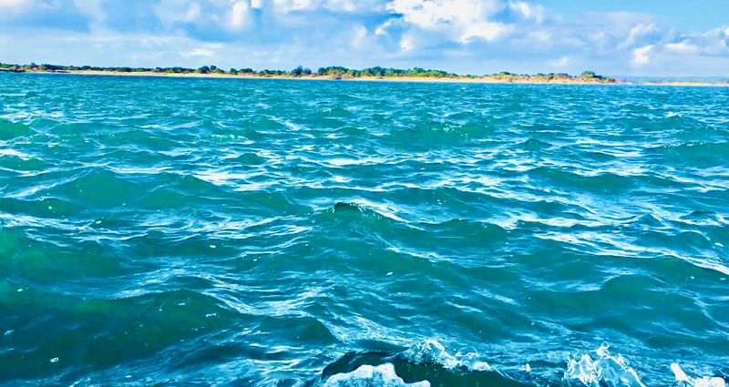
Near Bandon, the river widens into tidal water before meeting the Pacific.
Historic riverfront sites, marsh habitat, old boat remains, and the Bandon waterfront all sit along paddling territory that Travel Oregon describes as suitable for flat-water kayaking.
The lower Coquille River is the stretch to consider here.
Bandon Marsh National Wildlife Refuge borders part of the estuary, and public boating access remains available in 2026 at both Bandon Marina and Bullards Beach.
Tide is not a footnote. It controls how much effort the same route can require in opposite directions, so check the current and wind before launching.
Beginners who do not already know tidal paddling can also use a local guided trip rather than turning the first hour into a lesson in estuary physics.
The reward is a coastal river without the surf launch. You get marsh, working-waterfront scenery, and open estuary views while keeping the kayak on the protected side of the ocean.
The Oregon State Marine Board currently lists both Bandon Marina and Bullards Beach boat ramps as open.
10. New River
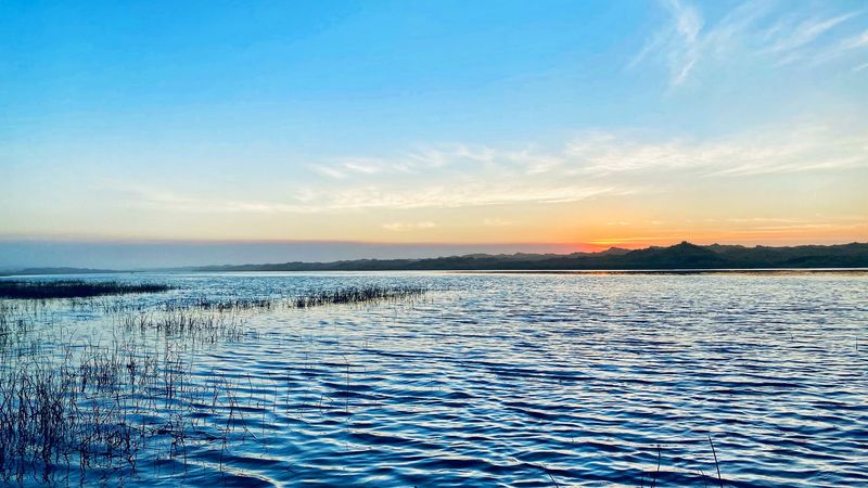
The last pick runs so close to the Pacific that dunes are often the only thing separating fresh water from ocean beach.
It travels north through a narrow coastal corridor south of Bandon, bordered by wetlands, dune country, and bird habitat.
Access comes through the Storm Ranch area of the New River Area of Critical Environmental Concern.
New River itself runs roughly parallel to the coast for about nine miles.
It is a paddling option reached from Storm Ranch, while the nearby Floras Lake outlet connects into the same coastal water system.
This is not the place to assume a fixed downstream itinerary.
Seasonal water levels can change how much of the channel is comfortably navigable, so an out-and-back paddle from a known access keeps the day flexible.
Paddle until the reeds, dunes, and open sky have made their point, then turn around and see the same quiet corridor from the other direction.
The return leg also removes the shuttle problem, which matters on a remote coastal waterway with fewer obvious access points.