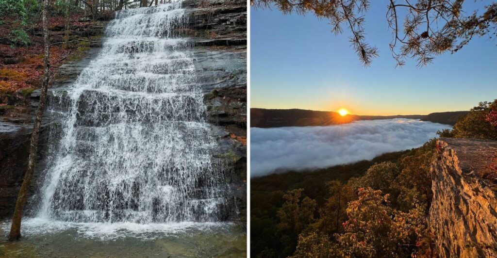
Tennessee does not exactly advertise that it has a canyon hiding this close to the city.
Just beyond Chattanooga, the river starts cutting through forested mountains, bluffs, and deep bends that make the landscape look much wilder than the distance suggests.
The gorge stretches for miles, with overlooks high above the water and trails that eventually bring you right back down beside it.
That is where the scale starts playing tricks on you.
From the rim, the river looks tiny. At water level, the walls suddenly seem much bigger.
And then there is the nickname locals and tourism officials have given it.
Once you see the first big bend from above, “Grand Canyon of Tennessee” starts sounding a lot less dramatic than expected.
The River Does The First Bit Of Showing Off
The Tennessee River enters the gorge a few miles below downtown Chattanooga and keeps winding for about 27 river miles before the landscape opens toward Nickajack Lake.
That long curve through the Cumberland Mountains is what gives the gorge its shape.
From above, the river does not look like a straight blue line cutting through the woods. It bends, doubles back, disappears behind ridges, and then shows up again farther along the valley.
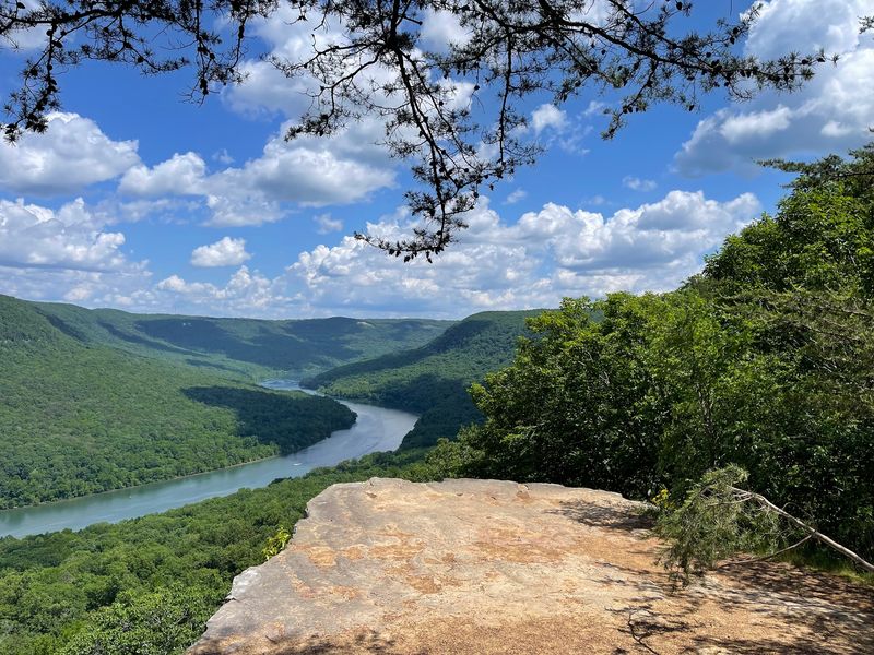
Snooper’s Rock gives you one of the clearest examples.
The overlook sits inside Prentice Cooper State Forest, high above a broad bend in the river. From the rim, the water curls below while wooded slopes fill almost everything else in sight.
There is enough distance between you and the river to make boats look small.
That is usually the moment the nickname stops sounding exaggerated.
Forest-road access can change with seasonal closures, hunts, maintenance, or weather, so conditions are worth knowing before heading in.
Once you reach the overlook, though, the road disappears from your mind pretty quickly.
The river has already taken over the conversation.
Edwards Point Gives The Gorge A Wider Angle
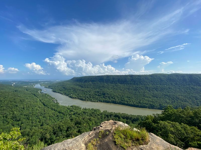
If Snooper’s Rock is the dramatic river-bend shot, Edwards Point zooms out.
The overlook sits along the Cumberland Trail on Signal Mountain and looks across the upper Tennessee River Gorge. To the east, the view reaches toward Williams Island and Chattanooga. Turn west and the gorge opens between Elder Mountain and Signal Mountain.
That makes the scenery feel less like one postcard and more like a map unfolding in front of you.
The closest access is from the Rainbow Lake trailhead, about 1.9 miles from the point. Another route begins at Signal Point and makes the round trip a little longer.
Either way, you have to earn this one with your feet.
The Cumberland Trail connection makes this overlook part of a longer route.
The payoff keeps changing while you stand still. Clouds can settle low in the gorge. Morning light hits different slopes at different angles.
On a clear day, the city and wild canyon country can both fit into the same sweep.
You may start out trying to identify every ridge.
Give it five minutes.
Eventually, you will probably just stop talking and look.
Prentice Cooper Packs Nearly Twenty-Seven Thousand Acres Around The Rim
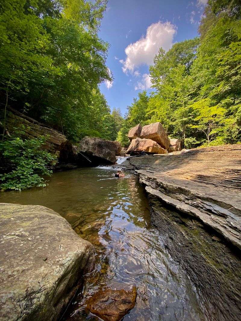
Prentice Cooper State Forest is not a small patch of woods attached to a viewpoint.
It covers 26,945 acres along the Tennessee River Gorge, roughly 10 miles west of Chattanooga. About 35 miles of hiking trails cross the property, including the southern end of the Cumberland Trail State Scenic Trail.
The forest also supports mountain biking, horseback riding, rock climbing, camping, birdwatching, hunting, and designated off-road vehicle use.
That is a lot to fit around one canyon.
The roads make a difference too. You can cover more ground here than you would on a trail-only visit, though some routes close seasonally for wildlife management, hunts, winter conditions, maintenance, or safety.
Snooper’s Rock remains accessible during the regular winter road-closure period, while other routes can be gated.
That mix of roads and trails lets the forest work at more than one pace.
You can move between overlooks, wooded stretches, and trailheads without turning the visit into one giant hike.
Stop when the view earns it. Keep going when curiosity wins.
Ritchie Hollow Trades The Big View For A Waterfall
After staring across the gorge from above, Ritchie Hollow pulls you into it.
The trail runs 2.7 miles one way and climbs more than 1,200 feet as it connects the Tennessee River side of the gorge with the Cumberland Trail system higher on the mountain.
Your legs will notice.
A steep stretch follows an old narrow logging route, and the trail passes mature hardwood forest, rhododendron, mountain laurel, and traces of historic moonshine sites.
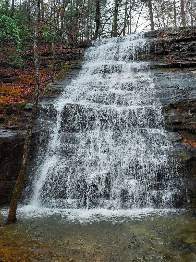
Then Blowing Wind Falls interrupts the climb.
Blowing Wind Falls breaks up the climb with a shaded waterfall stop.
The waterfall drops about 30 feet over the rock, giving you a cool, shaded pause before the trail continues uphill.
It is a completely different way to experience the same landscape.
The overlooks make the gorge look enormous. Ritchie Hollow shrinks your attention down to roots, rock, water, and the next rise in the trail.
The trailhead is in the gravel parking area across from Pot Point Cabin at 17805 River Canyon Rd, Chattanooga, TN 37405.
The waterfall may be only 30 feet high, but the trail is not interested in letting you forget the mountain around it.
Pot Point Lets You Walk From Boulder Field To Riverbank
Pot Point Nature Trail cannot seem to pick one personality, which works out nicely for hikers.
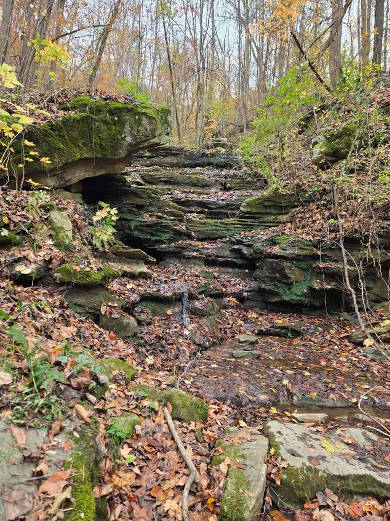
The 4.1-mile loop begins by climbing the side of the mountain toward a large boulder field. Later, an old logging road eases the descent. The final section crosses River Canyon Road and follows a flatter path beside the Tennessee River back toward the starting point.
So yes, you get a little bit of everything.
The first portion asks for more effort. Short level stretches break up the steeper climbing, but the trail still earns its moderate rating.
Then the route changes gears. The loop combines climbing, old logging roads, riverbank walking, and meadow scenery.
The river section trades elevation for a quieter walk beside the water, and a wildflower meadow adds another shift in scenery during the warmer months.
Camping is possible nearby too. The Pot Point Blueway campsite sits about a mile from the trailhead and can be reached on foot or by water with a permit.
By the time you reach the river, the boulder field can already feel like it happened on a different outing.
One minute you are picking your way through rock and elevation.
Later, the Tennessee River is beside you and the trail has finally decided to behave.
Pot Point Cabin Has Been Watching The River Since 1835
The Pot Point area has one structure that can compete with the scenery for attention.
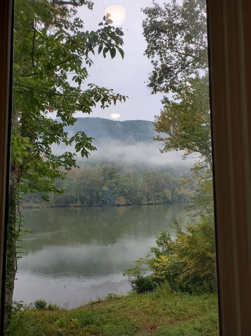
Pot Point Cabin was originally built in 1835 from hand-hewn logs and planks reclaimed from a flatboat that wrecked on the nearby “Boiling Pot,” once a rapid in the Tennessee River.
That is a lot of history packed into one set of walls.
The Tennessee River Gorge Trust purchased the cabin and surrounding property in 1991. Renovation began by 1993, with much of the original structure retained. The two main downstairs rooms, dogtrot, and shell of the second level remain part of the old section.
The cabin now has modern additions and can be rented, but the nineteenth-century core is still there.
Much of the original nineteenth-century cabin structure remains within the modern building.
You can pair it naturally with either Ritchie Hollow or the Pot Point loop because both trail systems begin close by.
After miles of river and forest, the building changes the rhythm of the day.
Suddenly, you are looking at wood salvaged from a wreck and turned into a home nearly two centuries ago.
The gorge does not exactly run short on stories.
Nearby trails and river access let Pot Point combine local history, hiking, and Tennessee River scenery within one compact stop.
Fall Makes The Whole Canyon Change Its Mind About Color
The gorge does not need autumn to be impressive, but fall has absolutely no interest in being subtle.
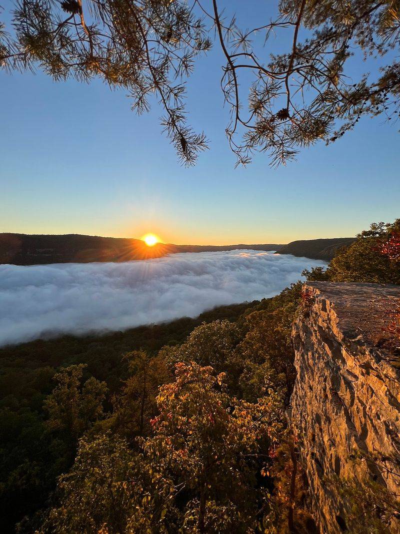
Hardwood slopes turn red, orange, yellow, and gold while the Tennessee River keeps its cool blue line through the middle.
From a high overlook, the color stacks in layers.
Down near Pot Point, it sits closer to eye level and reflects off the water.
Peak color shifts with weather and elevation, so no two autumn visits line up exactly the same way.
October can also overlap with managed-hunt closures inside Prentice Cooper, while forest-road access may change for safety or management reasons.
Beyond that, the season mostly asks one question.
Do you want the giant river bend from Snooper’s Rock, the wider sweep from Edwards Point, a waterfall in the woods, or a trail that eventually drops you beside the river?
You could try fitting everything into one day.
The gorge will probably win.