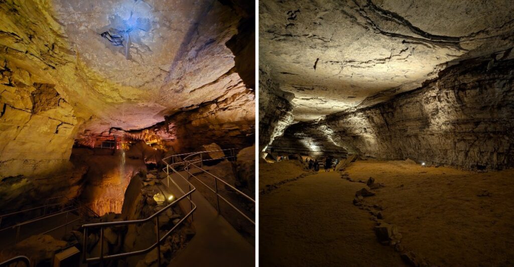
Here is the wild part: nobody has finished drawing the map yet.
More than 426 miles of passages are already known, and researchers are still adding to it.
Think about that for a second.
You can spend hours underground and still see only a tiny piece of what is beneath the surface.
Kentucky is hiding the world’s longest known cave system under hills that look completely ordinary from above.
That contrast gets me every time.
Some tours move through huge chambers. Others get tighter and steeper. Meanwhile, researchers keep measuring new passages one section at a time.
So choose your tour and head below.
Then ask yourself one thing: How much cave is still under your feet that nobody has walked through yet?
More Than Four Hundred Miles Have Been Mapped
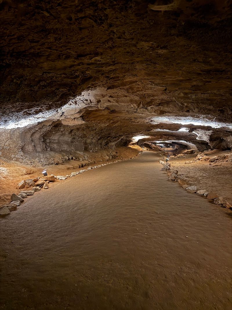
Mammoth Cave is currently mapped and explored to more than 426 miles, making it the longest known cave system in the world.
That number represents surveyed passage, not the total amount of underground space that may exist. New connections and newly measured sections can increase the official length when survey work confirms where they fit into the system.
For a visitor, the mileage is mostly a scale marker. No public tour covers anything close to the full network. Instead, each route reveals a small part of a cave system spread through multiple levels beneath the park.
Some passages are broad enough to feel like underground roads. Others narrow sharply, drop through vertical sections, or turn into areas accessible only to trained cave researchers.
The known length has grown dramatically over time. On September 9, 1972, explorers connected Mammoth Cave with the Flint Ridge Cave System, creating a surveyed system of about 144 miles and establishing Mammoth Cave as the world’s longest known cave system.
Since then, additional connections and surveys have continued expanding the mapped system.
If the big number feels abstract, think of each mile as the result of many smaller measurements joined together. The record grows station by station, passage by passage.
Researchers Still Add New Passages To The Map
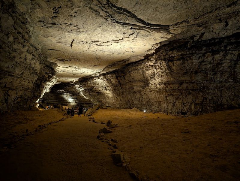
Exploration at Mammoth Cave is still active.
Volunteers with the Cave Research Foundation return to the park each year to survey newly discovered passages and improve the map of the system. The foundation has worked at Mammoth Cave since 1957 and remains an official park partner.
That work is not simply a hunt for dramatic new chambers. Survey teams may follow narrow leads, crawl through tight openings, or return to places where an earlier passage hinted at another connection.
When a new section is found, it does not become part of the official mileage until it has been surveyed and documented.
Finding a passage and adding it to the official map are separate steps. Researchers still need to measure direction, distance, slope, passage dimensions, and other features before the new section can be placed accurately on the larger map.
While you are walking a lit tour route, other parts of the system may still be under active study far beyond the public passages.
Survey Teams Measure The Cave Station By Station
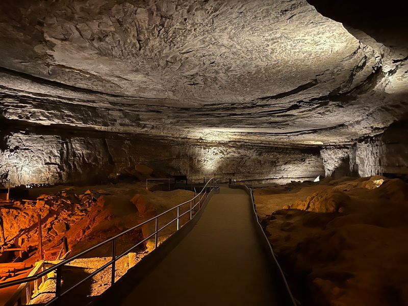
Cave mapping depends on careful measurements taken from one survey station to the next.
Teams generally use a compass for direction, measuring tape or a laser range finder for distance, and an inclinometer for slope. Passage width, height, rock features, artifacts, and other details may also be recorded in survey notes and sketches.
A typical team divides the jobs. One person establishes survey stations, another reads the instruments, and another keeps the survey book and draws the passage.
Because lasers cannot bend around corners, long tunnels are mapped as connected short segments. Each segment adds another line to the developing survey.
Mammoth Cave contains passages on different levels, so an accurate map needs to show where one route climbs above or drops below another.
After the fieldwork, survey data can be entered into computer programs that correct for factors such as slope and magnetic declination.
Researchers also use survey loops to check accuracy. If a team eventually reconnects with a previously surveyed point, the measurements should return close to the same location on the map. Large discrepancies can mean part of the route needs to be measured again.
The Historic Entrance Opens Onto A Much Older Story
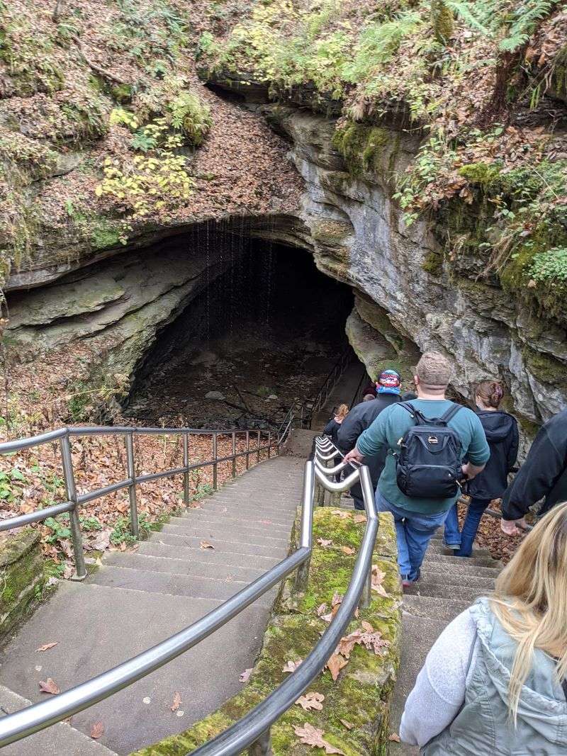
The Historic Entrance sits about a quarter mile downhill from the visitor center and is the largest natural opening into the Mammoth Cave system.
People were entering the cave thousands of years before modern surveying began.
Prehistoric Native Americans first explored Mammoth Cave roughly 5,000 years ago. Evidence shows they traveled through more than 19 miles of passage within what is now the national park, using river cane torches for light.
They also collected minerals from the upper levels of the cave, including gypsum and mineral salts. Archaeologists know those materials were important, although their exact uses are not certain.
The stairway now used by modern visitors leads into a place that people were navigating long before electric lighting, paved tour paths, or printed maps existed.
The Historic Entrance can also be visited from above without taking a cave tour. A paved trail leads down from the visitor center, although the slope is steep and the route is not wheelchair accessible.
When tours are not entering, visitors can descend partway into the opening before reaching a gate.
Cave Tours Start At The Visitor Center
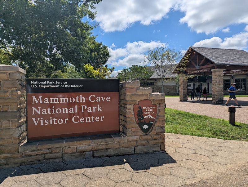
Public cave visits begin at the Mammoth Cave Visitor Center, where tour groups depart and exhibits introduce the park’s geology, human history, and underground environment.
Tour choices vary considerably. Some routes are shorter and easier, while others include hundreds of stairs, longer distances, or crawling sections with age restrictions.
Reservations are strongly recommended because popular tours can sell out weeks ahead, especially during busy travel periods.
The cave stays cool throughout the year. Deep cave temperatures average about 54 degrees Fahrenheit, so a light jacket can feel useful even when summer temperatures above ground are much warmer.
Tour rules also limit what you can carry underground. Large backpacks, tripods, walking sticks, and several other items are restricted on cave tours, so checking the requirements before arriving can save an awkward return trip to the car.
All cave tours depart from the visitor center. The physical address is 1 Mammoth Cave Parkway, Mammoth Cave, KY 42259.
The park itself is open around the clock, but cave tours and visitor services operate on schedules that vary by season.
Choose the tour before planning the rest of the day. Distance, stairs, accessibility, and available departure times matter more here than simply picking the first title that sounds interesting.
Human Exploration Reaches Back Thousands Of Years
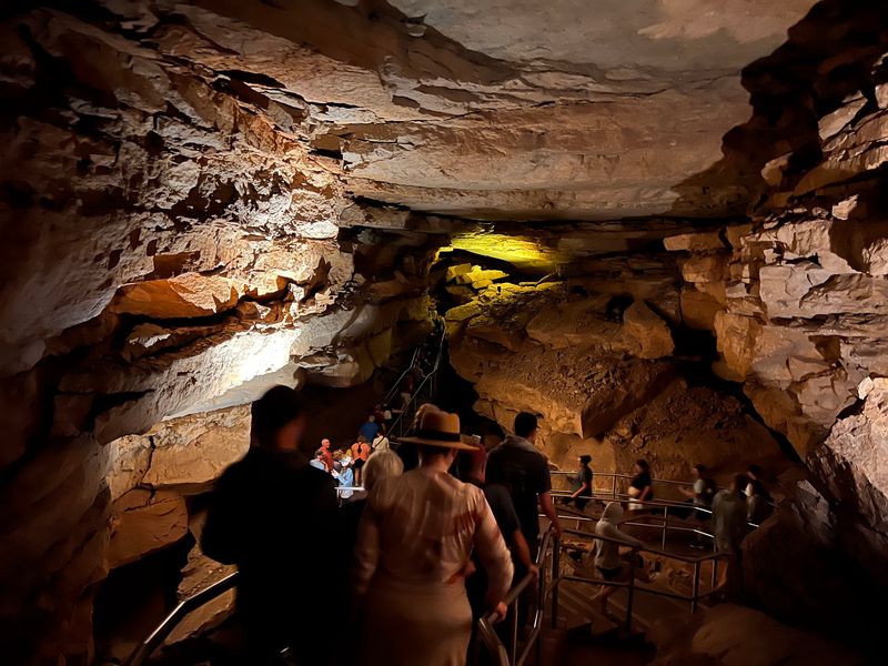
Modern survey crews are part of a much longer history of people moving through Mammoth Cave.
Prehistoric Native Americans explored the upper levels for thousands of years and left behind evidence including torch remains, woven materials, mineral-working sites, petroglyphs, and pictographs.
Much later, the cave became important for saltpeter production before and during the War of 1812. Commercial cave tours began in the early nineteenth century, creating another chapter in the relationship between people and the underground landscape.
Some of Mammoth Cave’s best-known early guides were enslaved African American men, including Stephen Bishop, Materson Bransford, and Nicholas Bransford.
Their knowledge and exploration helped document routes through parts of the cave long before modern survey technology.
Bishop produced one of the earliest detailed maps of Mammoth Cave and became known for exploring passages that had not been mapped by earlier visitors.
Different people entered for minerals, work, transportation, curiosity, science, and tourism across thousands of years.
The current map carries pieces of all those periods, even as researchers continue adding new lines to it.
The World Record Is Still A Work In Progress
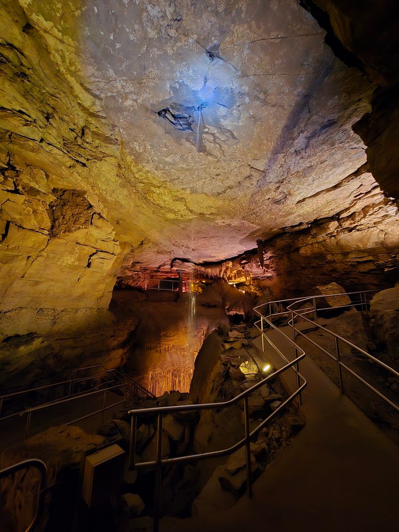
Mammoth Cave’s 426-plus mapped miles are a current measurement, not a final boundary.
Survey teams continue following leads and documenting passages, and new connections can change how different sections of the system fit together.
The official mapped mileage can increase as newly surveyed passages are added to the system.
For visitors, the practical side is much simpler. Pick a tour that matches your mobility and energy, reserve ahead when possible, and arrive early enough to check in without rushing.
Leave some time above ground too. The Historic Entrance, visitor-center exhibits, trails, and surrounding park landscape help put the underground system into context.
If you are traveling with children, the unfinished map can be an easy way to explain why exploration still matters.
The cave is not getting longer because people are digging new tunnels.
The mapped total grows because researchers keep finding, connecting, and measuring passages that were already there.
Each newly surveyed passage adds to the documented extent of the cave system.
For now, more than 426 surveyed miles remain the official measure of the world’s longest known cave system.