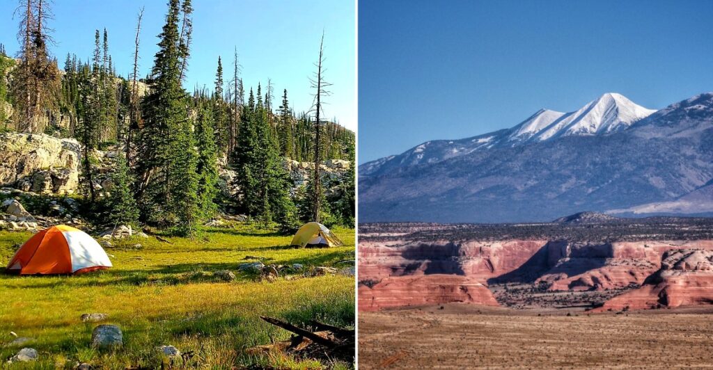
In early fall, the most important thing you pack for bear country might be how you handle your food. Black bears are busy preparing for winter, building fat reserves and searching for calories wherever they can find them.
Unfortunately, an unattended snack can become part of that search. Across Utah’s mountain landscapes, hikers and campers may share territory with these hungry animals, making proper food storage far more important than capturing the perfect wildlife photo.
But there’s a distinction worth remembering. Established bear habitat doesn’t automatically mean frequent sightings, and a reported encounter doesn’t guarantee another bear will appear.
So, what’s the smartest approach? Secure your food, respect wildlife, and learn about the area before heading out.
As autumn settles over the higher elevations of Utah, preparation lets you appreciate the wilderness without treating every snapped twig like the opening scene of a bear encounter.
1. Park City and the surrounding Wasatch foothills, Summit County
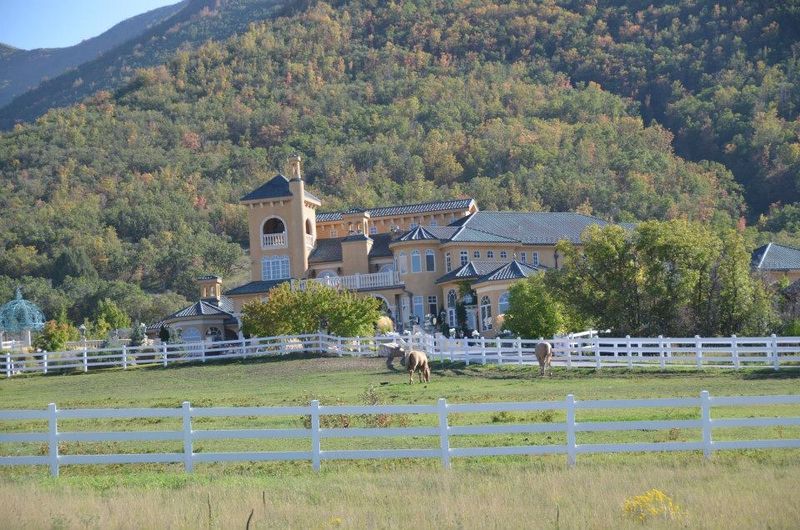
A mountain neighborhood may look settled, but the forest does not stop at the property line. Park City and the surrounding Wasatch foothills bring wooded slopes, homes, and outdoor recreation into close contact.
That overlap makes bear awareness useful even before you reach a trailhead. Black bears can travel through developed areas, especially when accessible food rewards the effort.
Early fall is a feeding season for bears preparing for winter. However, a neighborhood encounter does not mean every nearby hillside has frequent sightings, and individual reports should not become a townwide prediction.
For a rental stay, ask how garbage should be stored and when it should go outside. Keep pet food indoors, clean outdoor grills after use, and avoid leaving groceries in an open vehicle while unloading.
On the trail, give wildlife room and keep children close rather than letting them race around blind bends. A bear photograph is never a good reason to move closer.
Check Utah Division of Wildlife Resources guidance and local notices before heading out. Park City’s forest edge is the key detail here: the same wooded setting that attracts travelers also requires sensible habits around food, trash, and wildlife.
Treat those habits as part of packing, not an optional extra.
2. Provo Canyon and Vivian Park, Utah County
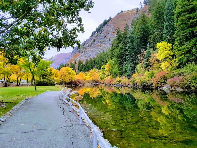
A picnic beside a river comes with one small complication: your lunch smells interesting to more than your family. Provo Canyon and Vivian Park sit where recreation, riverside development, and wooded mountain slopes meet.
The Provo River runs through the canyon, giving the setting a clear geographic identity. Vivian Park is part of that canyon landscape, not a separate wilderness far from roads and homes.
Bear awareness belongs here because forested slopes connect with places where people eat, stay, and spend time outdoors. An isolated encounter can show that bears use the area without establishing a regular September pattern.
Pack only what you can keep under control during a picnic. Put leftovers, wrappers, and coolers away promptly, and never leave food behind while everyone heads off for a walk.
Cabin visitors should ask about garbage arrangements rather than assuming an outdoor bin is secure. Bears learn from food rewards, so one careless evening can create trouble beyond a single property.
If you notice a bear near a developed area, keep your distance and report concerning behavior to wildlife officials. In Provo Canyon, the practical goal is enjoying the river corridor without making your lunch part of the wildlife menu during an otherwise ordinary family outing.
3. Big Cottonwood Canyon and the Central Wasatch, Salt Lake County
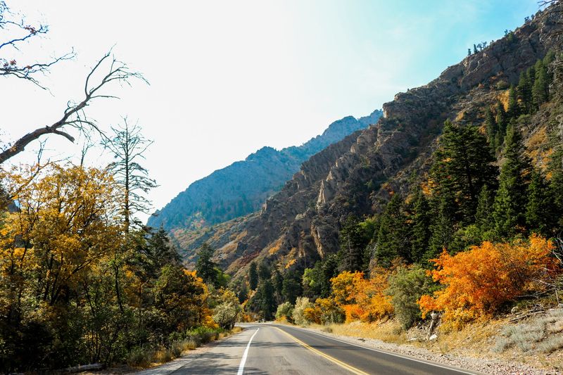
City access can make a mountain outing feel more casual than the landscape deserves. Big Cottonwood Canyon and the Central Wasatch rise east of Salt Lake City, placing forested country within reach of a large urban population.
The canyon is also a protected watershed, with rules that differ from those at many other recreation areas. Check current restrictions before bringing pets or planning activities around the creek.
Its wooded slopes belong to the broader Wasatch bear habitat corridor. Historical encounters support taking precautions, but they do not tell you how many bears someone will see during a particular fall weekend.
For hikers, a useful habit is making your presence known when visibility is limited. Speak normally with companions, stay alert, and avoid headphones that shut out your surroundings.
Carry bear spray where you can reach it, and learn its operation before starting. A canister buried beneath sandwiches and spare clothing is more luggage than a usable safety tool.
At camp, follow posted food storage instructions and keep cooking supplies away from sleeping areas. Utah’s mountain access is convenient here, but convenience does not change a bear’s sense of smell or make an unattended snack harmless.
Plan for the forest, not merely the drive into it.
4. Cache and Ogden Mountain Country, Northern Utah
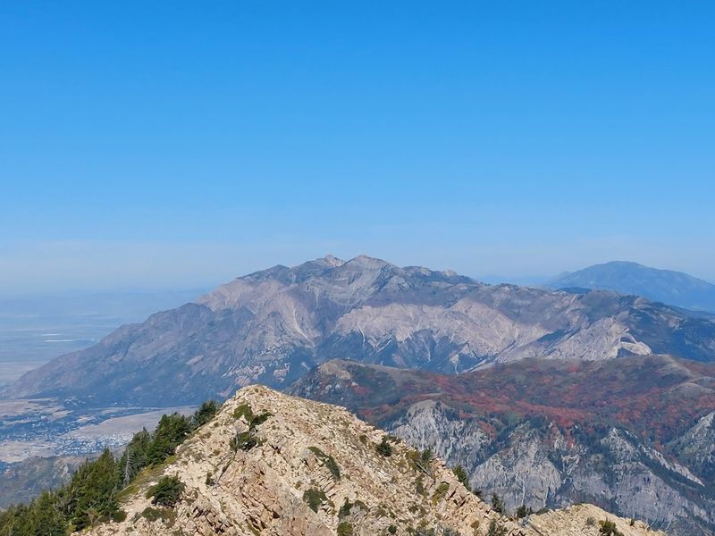
A wildlife management boundary is not a sightseeing guarantee. Cache and Ogden Mountain Country covers northern mountain landscapes where state bear management recognizes a resident population.
Forested terrain around Logan and Ogden extends beyond developed recreation sites into rugged slopes and drainages. That larger setting matters more than whether one campground has recently appeared in a news report.
The Cache/Ogden management unit is evidence of bear country, not a running count of public encounters. Early fall planning should focus on preparedness rather than choosing a route because someone promises a sighting.
Before a forest outing, check the relevant land manager’s notices and understand where your route goes. Download a map when service may be limited, and tell someone your expected return time.
Keep dogs under control wherever they are permitted. A dog that runs toward wildlife can turn a distant animal into a much closer problem for its owner.
If a bear appears, do not run or try to lure it away with food. Give it space and follow wildlife agency encounter guidance.
For travelers, the takeaway is geographic: the mountains behind these northern cities remain wildlife habitat. A nearby road or familiar trail name does not remove that responsibility from anyone visiting the forest.
5. Uinta Mountains – North Slope, Northeastern Utah
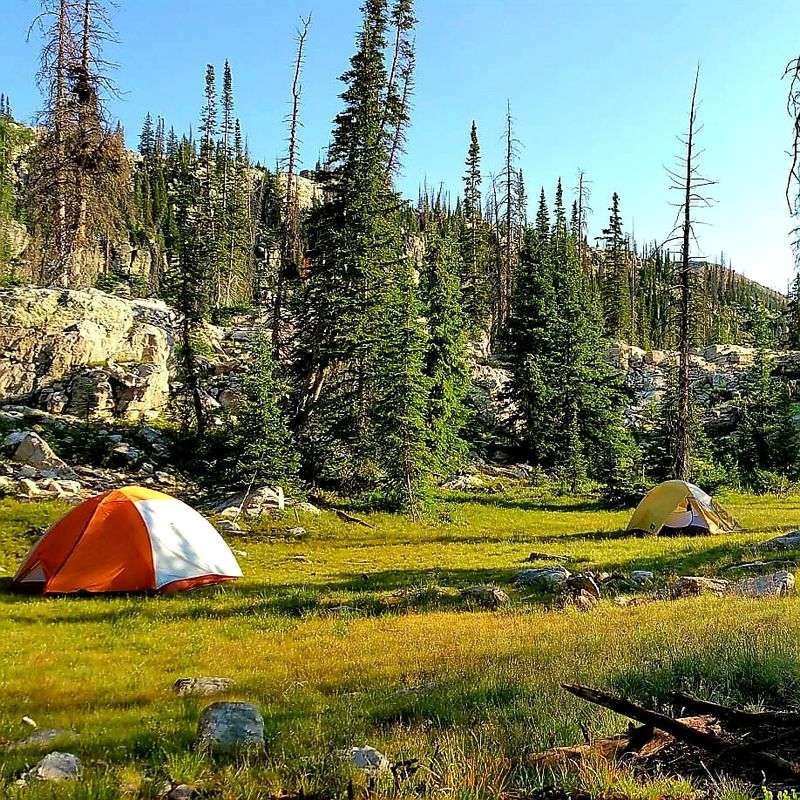
Distance from town does not make a campsite’s food disappear from a bear’s attention. The Uinta Mountains – North Slope contains broad forested valleys, streams, and remote terrain within a major continuous bear habitat region.
The Uintas are unusual among major mountain ranges in the contiguous United States because they run east to west. Their northern drainages create a different geographic setting from the urban canyon edges farther west.
Here, preparation deserves more attention than rumors about recent sightings. Management records establish bear presence, but they do not identify a reliable place or hour for seeing an animal.
Choose food storage suited to your actual campsite and current rules. A hard sided vehicle, an approved container, or another authorized method may be needed depending on where you stay.
Keep toothpaste, cooking grease, snacks, and trash with other scented supplies rather than inside your sleeping area. Bears do not limit their interest to items printed on a restaurant menu.
Check road conditions and forecasts before committing to a remote route. Higher country can have changing weather during fall, and a long exit deserves planning.
The North Slope rewards a careful approach: know your route, manage every food item, and leave wildlife room to keep moving through its habitat.
6. South Slope of the Uintas and Yellowstone River Country, Northeastern Utah
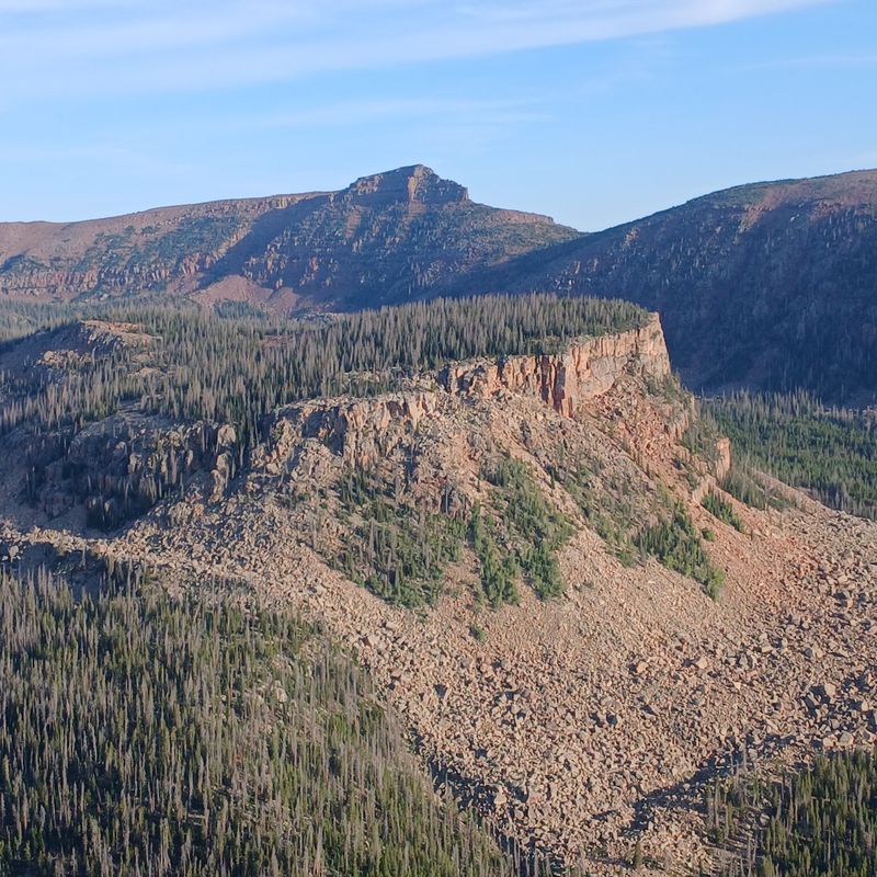
The name Yellowstone can send a trip planner to the wrong map. South Slope of the Uintas and Yellowstone River Country refers to northeastern Utah, not the famous national park farther north.
Forested drainages south of the Uinta crest provide habitat for black bears and other large mammals. The Yellowstone bear management area adds a specific wildlife connection to this broad mountain setting.
Separate management designations help agencies track populations and regulate hunting. They should not be mistaken for public sighting totals or a promise that bears gather beside a particular road each September.
For an overnight visit, settle the food storage question before leaving home. Remote country is a poor place to discover that your container, vehicle arrangement, or campsite setup does not meet local requirements.
Keep a clean cooking area and collect even small scraps. Strained dishwater and greasy packaging also deserve careful handling under the land manager’s guidance.
Allow room in your schedule for changing road and weather conditions. Check the specific access route rather than assuming all roads across the south slope behave alike.
The distinction is useful: this is river and forest country below the Uinta crest. Plan around that landscape, not around assumptions borrowed from an entirely different Yellowstone destination elsewhere.
7. La Sal Mountains, Near Moab
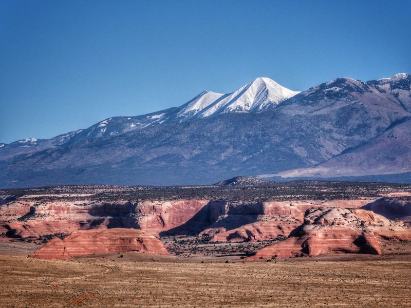
Red rock country does not usually suggest forest animals, which makes the mountains above Moab a useful reset. The La Sal Mountains rise above the surrounding desert and support high elevation woodland and forest.
Utah’s Hunt Planner describes black bears as regularly seen in the La Sal management area. That is stronger evidence of recurring presence than habitat alone, although it does not supply an early fall sighting count.
The shift from desert terrain to wooded slopes is the defining feature here. Travelers moving between those landscapes should change their expectations about wildlife and food storage along with their route.
Never approach a bear for a better picture, even if it seems occupied with feeding. Use distance, not confidence, as your main photography tool.
At a roadside stop, keep snacks inside your vehicle when you are not eating them. An open cooler beside the car is still accessible food, not secure storage.
Before camping, check current forest notices, site rules, and access conditions. Mountain weather can differ greatly from conditions down around Moab.
The La Sals belong in a bear awareness article because their forests support animals the nearby desert scenery might make visitors overlook. Let the habitat guide your habits, not the red rock postcard.
8. Abajo Mountains and Elk Ridge, San Juan County
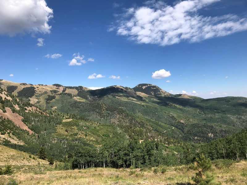
Not every bear encounter becomes a headline, especially in country with fewer visitors and long stretches between services. Abajo Mountains and Elk Ridge form a substantial woodland and forest region in San Juan County.
The Abajo Mountains lie near Monticello, while Elk Ridge extends into the wider plateau landscape west of Blanding. Their forested terrain contrasts with the drier surroundings that often shape travelers’ first impressions of southeastern Utah.
Bear distribution research identifies this region as occupied habitat. That supports preparation, but sparse public reporting cannot tell readers whether encounters are increasing or simply receiving more attention.
Check current land management alerts before choosing a route or campsite. Fire restrictions, closures, and road conditions must be confirmed for the actual place you intend to visit.
Bring enough supplies to avoid depending on an unverified stop for water or fuel. Leave your route with someone, particularly when heading beyond maintained main roads.
Food discipline matters even during a brief break: collect crumbs, pack out trash, and secure scented items before leaving a vehicle or camp.
For bear awareness, the defining point is the forest within the high desert. Do not let an empty stretch of road persuade you that the surrounding country is empty of wildlife as well.
9. Boulder Mountain and Aquarius Plateau, South-central Utah
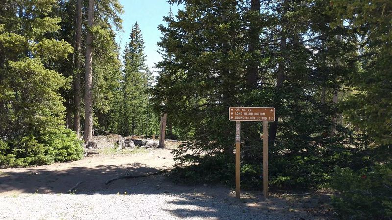
A map of southern desert roads can hide a surprisingly large amount of forest above them. Boulder Mountain and Aquarius Plateau contain high elevation country with conifers, aspens, lakes, and extensive backcountry.
Boulder Mountain is part of the Aquarius Plateau, near the communities of Boulder and Torrey. Wildlife research recognizes it as established black bear habitat, giving the region a clear connection to this article’s theme.
Its plateau setting also means a trip can involve more than a quick stop beside a highway. Match your plans to the specific road, elevation, and destination rather than treating the whole mountain as one access point.
Fall feeding behavior makes secure food storage especially relevant, but it does not establish a repeated sighting pattern at every lake. Avoid choosing campsites based on unsupported bear reports.
Keep fishing catches and cooking supplies secured along with ordinary groceries. A bear does not separate outdoor hobbies from dinner ingredients.
Check current conditions with the responsible forest office before using backcountry roads. Carry navigation that works without a phone signal, and prepare for weather changes at elevation.
Across Utah, desert views and bear habitat can exist surprisingly close together. Boulder Mountain makes that contrast concrete: the forest overhead deserves a different preparation checklist.
10. Manti-La Sal National Forest’s Manti Mountains, Central Utah
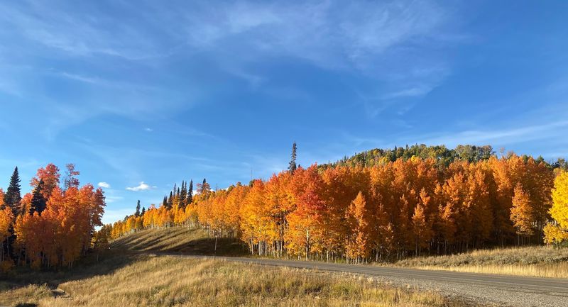
A scenic road can cross wildlife habitat without announcing the fact at every bend. Manti-La Sal National Forest’s Manti Mountains occupy the Wasatch Plateau, above central agricultural valleys.
The Skyline Drive corridor is a recognizable feature of this mountain landscape. Forests and canyons along the plateau provide a setting quite different from the fields and communities below.
State bear management recognizes northern and southern Manti areas. Those designations support the presence of bears, but they do not measure how often travelers encounter them during early fall.
Cabin stays need the same attention to food as tent camping. Ask where trash belongs, keep doors secure, and avoid leaving coolers or pet bowls outside overnight.
For a driving outing, do not scatter picnic supplies around a pullout while everyone explores. Put food away before leaving the immediate area, even when the stop feels brief.
Verify road conditions and seasonal access before planning around Skyline Drive. A named route on a map does not guarantee that every segment suits your vehicle or remains open.
If a bear is near your campsite, stay calm and follow agency guidance rather than attempting a close inspection. The Manti Mountains call for practical awareness, not a running search for animals beside the road.
11. Book Cliffs and East Tavaputs Plateau, Eastern Utah
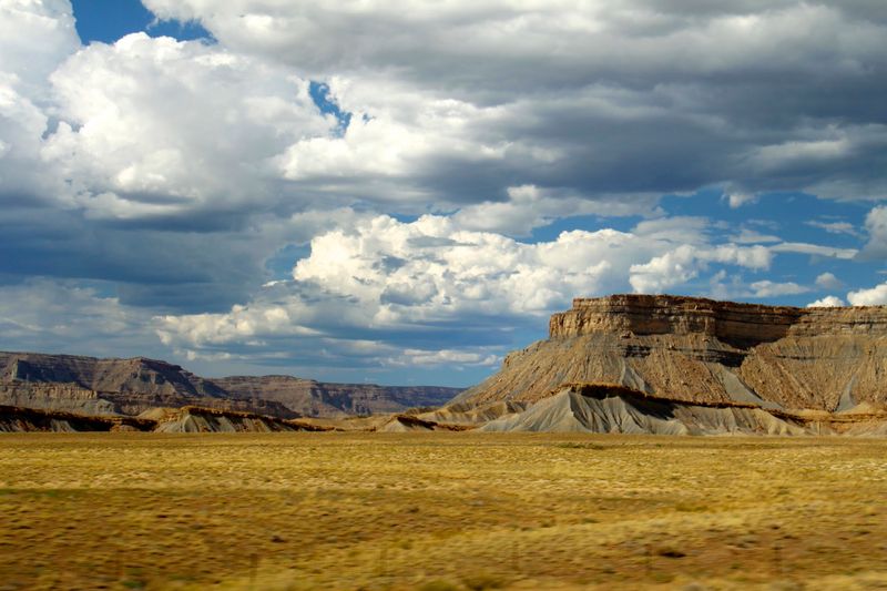
From a distance, cliff country can look like a place built mostly from stone. Book Cliffs and East Tavaputs Plateau also contain wooded upper terrain and remote canyons that support black bears.
The Book Cliffs form a prominent escarpment across eastern Utah and into western Colorado. Behind that familiar landform, plateau habitats create a much broader wildlife setting than the roadside view suggests.
Research on the Tavaputs plateaus has examined bear populations, movements, and habitat use. Such work establishes ecological importance, not a dependable calendar of encounters for visiting drivers.
Remoteness changes the planning equation here. Confirm road access, bring adequate fuel and water, and tell someone where you are going before leaving reliable communications behind.
Do not follow a bear into a canyon or across rough ground for a closer look. The animal needs space, and your return route should not become an afterthought.
At any camp, store food and scented supplies according to current rules. Clean up thoroughly before moving on, including small scraps that might reward the next animal passing through.
The useful lesson from this plateau country is scale. A bear may use a landscape far larger than one recreation site, so responsible habits matter even where recent public sighting reports are scarce.