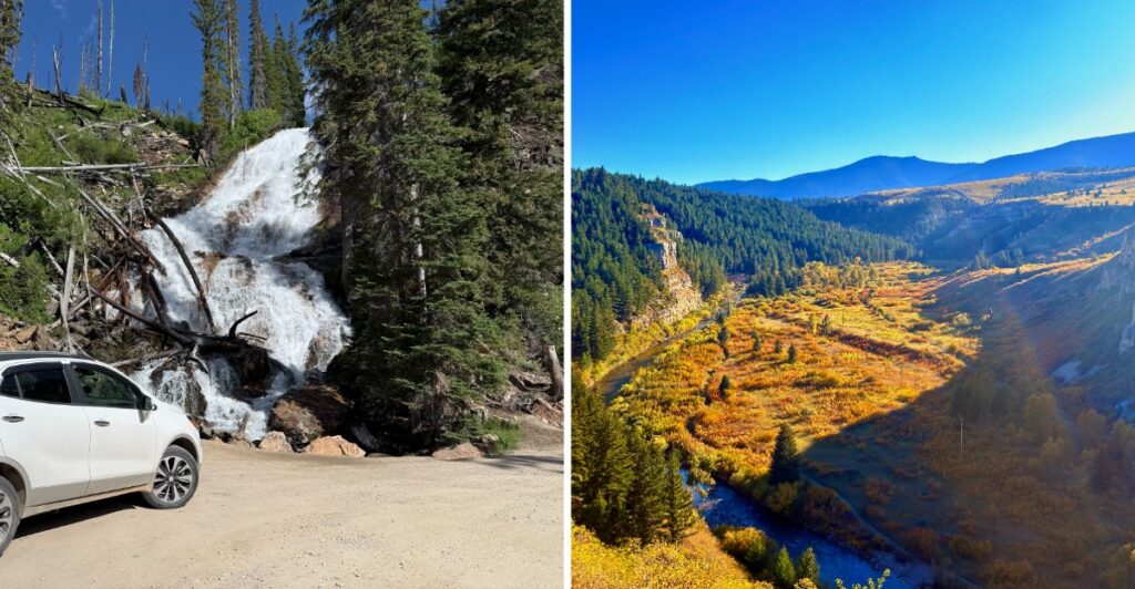
If you are the person in the car who keeps saying, “We’re making good time,” Montana may test that friendship.
Because then the road climbs, the view opens up, and somebody wants to pull over. Again.
That is the kind of driving these routes invite. Some stretches are smooth and easy. Others depend on weather, snow, or how adventurous you feel behind the wheel.
Montana gets big fast, too. Services can thin out, and a road that looks simple on the map may deserve most of the day.
I would not build these drives around a strict arrival time.
That sounds like unnecessary stress.
Give the road some room, and accept that the passenger asking for one more stop may have a point.
1. Going-To-The-Sun Road
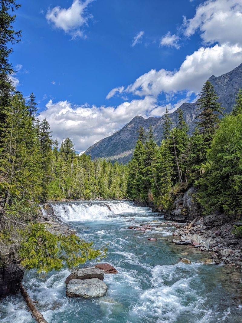
Begin beside Lake McDonald, where mountains rise beyond the water and dense forest frames the shoreline. The scenery changes quickly as the highway climbs: trees give way to rocky slopes, distant waterfalls, and wide views into glacier-carved valleys.
Going-to-the-Sun Road crosses Glacier National Park for approximately 50 miles between its western and eastern entrances.
The route reaches Logan Pass on the Continental Divide at 6,646 feet. Mountain goats and bighorn sheep inhabit the surrounding high country, though spotting either calls for luck and patience.
Completed for through traffic in 1932, the road uses winding curves and stone retaining walls to navigate unusually steep terrain. Pullouts provide places to look around without stopping in a traffic lane.
Your biggest decision may be whether to linger by the lake or save more time for the exposed mountain scenery higher up.
Full access is seasonal, with snow removal determining when vehicles can cross the alpine section. Between Avalanche Creek and Rising Sun, vehicles and combinations longer than 21 feet or wider than eight feet are prohibited.
Vehicles over ten feet tall can have clearance difficulties on part of the western descent.
Parking and shuttle arrangements may also change before 2027.
Route: Approximately 50 miles between West Glacier and St. Mary through Glacier National Park.
2. Beartooth Highway
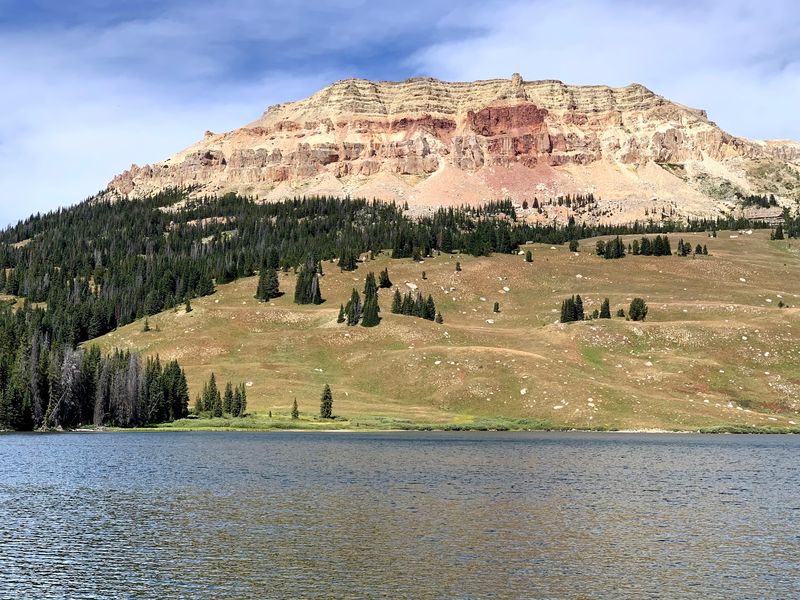
The trees gradually thin as you climb away from Red Lodge, replaced by rocky slopes, small alpine lakes, and wide-open mountain views. A series of curves carries you into high country where a jacket can feel useful even on a summer day.
The Beartooth Highway follows U.S. Highway 212 for approximately 68 miles toward the Cooke City area near Yellowstone National Park’s northeastern entrance. Along the way it crosses into Wyoming and reaches Beartooth Pass at nearly 11,000 feet.
That pass is in Wyoming, although the drive remains a natural addition to a Montana itinerary.
Opened in 1936, the highway offers a striking change in scenery over a relatively short distance.
The lower sections have forests and streams; higher up, the landscape opens into rock, tundra, and mountain ridges.
Stop at designated viewpoints to appreciate the contrast rather than trying to take everything in through the windshield.
Bring water, an extra layer, and shoes suitable for a short walk if you plan to explore near a viewpoint.
The road is seasonal, with snow and rapidly changing weather affecting its opening and closing dates.
Check conditions on both the Montana and Wyoming sides before setting out, and allow more than the direct driving time for stops.
Route: Approximately 68 miles along U.S. Highway 212 between Red Lodge and the Cooke City area, crossing into Wyoming.
3. Seeley-Swan Scenic Drive
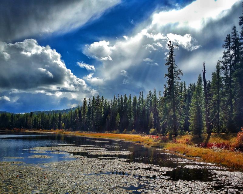
Water has a habit of appearing around the next bend on this forested corridor. One stretch of highway runs beneath tall evergreens; the next opens onto a lake backed by mountains. It is an easy setting in which to trade a hurried drive for a picnic stop.
Montana Highway 83 follows the Seeley-Swan Valley for roughly 90 miles between Seeley Lake and Swan Lake. The Mission Mountains lie to the west and the Swan Range to the east. Seeley Lake, Salmon Lake, and Lake Alva are among the waters that shape the trip.
Start near Seeley Lake and make your way north, choosing designated recreation areas when you want to stop. The Clearwater Canoe Trail offers another way to experience the area’s wetlands for travelers equipped to paddle in suitable conditions.
A side trip toward Holland Lake brings additional mountain scenery and trail options when access permits.
The drive takes on a different look in autumn, when western larch trees turn golden before shedding their needles. Wildlife may move near the roadway at dawn and dusk, so keep an eye on the shoulders and avoid sudden stops for photographs.
There is no need to turn every lake into a destination. Pick one or two that suit your schedule, leave a little time for the forested stretches, and enjoy how the scenery changes with each opening in the trees.
Route: Approximately 90 miles along Montana Highway 83 between Seeley Lake and Swan Lake.
4. Pioneer Mountains Scenic Byway
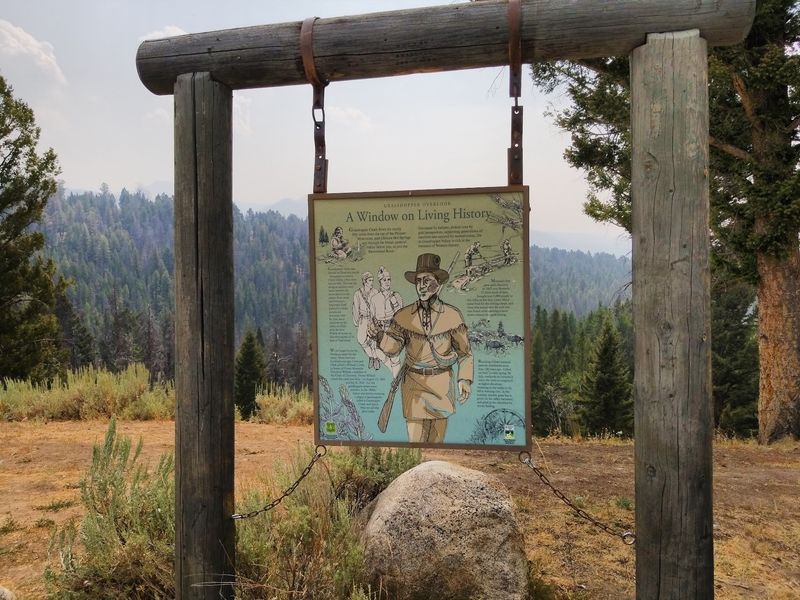
Searching for quartz crystals is not the usual activity on a mountain drive, but it is one of the possibilities here. The surrounding country also brings forested valleys, mountain meadows, and traces of Montana’s mining past.
The Pioneer Mountains Scenic Byway runs approximately 49 miles south from Wise River toward Montana Highway 278 through Beaverhead-Deerlodge National Forest.
It climbs toward a divide near 7,800 feet, with granite peaks on one side and forested hills on the other.
At Crystal Park, visitors can look for quartz crystals in designated areas, using permitted hand tools and following posted digging rules.
The abandoned mining settlement of Coolidge provides a different kind of excursion, although reaching it requires a separate trip from the main road and attention to trail access.
Elkhorn Hot Springs offers another possible stop near the southern portion of the route. Check entry arrangements before making the pools the centerpiece of your day.
rAllow time for slower travel on the mountain route and check conditions for the full byway and any side roads before leaving.
A central section normally closes to motor vehicles from December 1 through May 15, and weather can affect access beyond those dates. Carry an offline map and let the day revolve around one or two stops rather than trying to fit in every detour.
Route: Approximately 49 miles from Wise River, south along Forest Highway 73 to Montana Highway 278.
5. Lake Koocanusa Scenic Byway
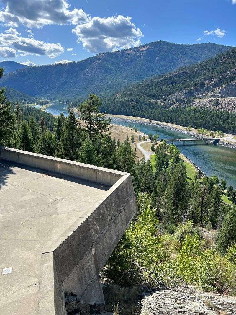
The reservoir’s unusual name comes from Kootenai, Canada, and USA, a combination that reflects its cross-border setting. Long water views and wooded slopes now define a landscape reshaped by the construction of Libby Dam.
Lake Koocanusa stretches roughly 90 miles north into British Columbia. For a scenic drive on its eastern side, follow Montana Highway 37 for approximately 67 miles between Libby and Eureka.
River scenery gradually gives way to broader reservoir views, with mountains rising above the water.
Libby Dam, completed in 1974, is a natural place to begin learning the geography of the area. Farther north, signed recreation areas offer chances to picnic, fish, or spend time near the shore.
Boat ramps and other facilities can have seasonal schedules, so choose your stops with that in mind.
A separate paved road on the western side can form part of a longer loop when conditions allow. That route closes during winter; the main Highway 37 byway generally serves travelers throughout the year, subject to temporary restrictions and weather.
Keep watch for safe viewpoints rather than stopping on curves. Bighorn sheep inhabit parts of the surrounding hills, but there is plenty to enjoy here even without a wildlife sighting.
The changing relationship between forest, shoreline, and mountain is enough to give the road its rhythm.
Route: Approximately 67 miles along Montana Highway 37 between Libby and Eureka.
6. Kings Hill Scenic Byway
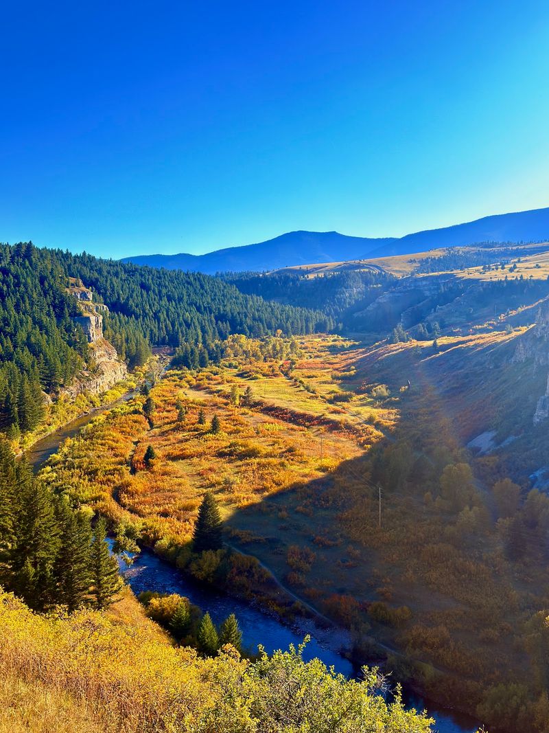
Old mining country and mountain recreation share the same winding highway through the Little Belt Mountains. Wooded slopes, streams, and open ridgelines make the journey feel different with the season.
Kings Hill Scenic Byway follows U.S. Highway 89 for approximately 71 miles between its junctions with U.S. Highways 12 and 87.
Much of the route passes through Helena-Lewis and Clark National Forest, with the community of Neihart providing a link to the region’s mining history.
Near Kings Hill Pass, Showdown Montana brings skiing to the winter landscape. During warmer months, hiking and picnicking become easier options.
Memorial Falls is one possible side outing when trail conditions suit a walk, while Sluice Boxes State Park calls for an additional drive away from the byway.
Not planning to hike? Take the main road slowly enough to enjoy the transitions between valleys and high-country forest, using designated stops for photographs.
The highway serves year-round traffic, but that does not guarantee easy winter driving.
Snow and ice can change the journey considerably, and smaller side roads may receive less maintenance.
Pack layers and check the forecast before leaving. A short stop in Neihart and time at a suitable viewpoint can make the trip feel complete without a long list of side excursions.
Route: Approximately 71 miles along U.S. Highway 89 between its junctions with U.S. Highways 12 and 87.
7. Pintler Veterans’ Memorial Scenic Highway
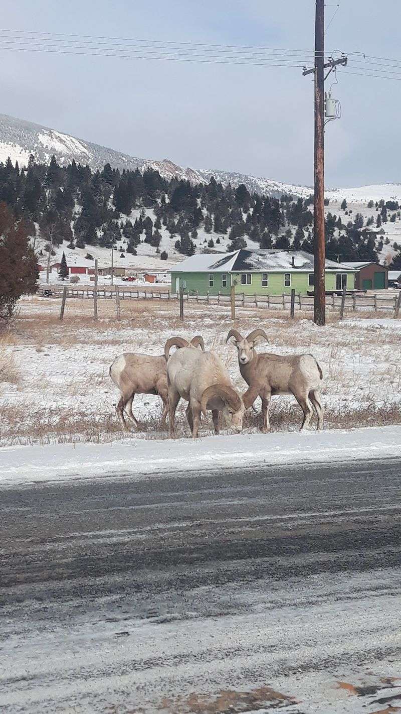
A lake, historic storefronts, and open valley scenery give you several ways to spend time on this drive. One easy route is to begin with mountain views and save a walk through town for later.
The approximately 64-mile Pintler Veterans’ Memorial Scenic Highway follows Montana Highway 1 between Anaconda and Drummond. Near Anaconda, the imposing Anaconda Smelter Stack reflects the region’s copper-processing past. The highway then leads toward Georgetown Lake, surrounded by wooded slopes and mountain terrain.
Use a designated access area for a lakeside break, keeping the season and available facilities in mind. Continue to Philipsburg for a different setting: older commercial buildings, local shops, and streets tied to the area’s mining heritage.
A detour toward Granite Ghost Town adds more history but involves a gravel approach that is best considered with the weather and your vehicle in mind. Prefer to stay on pavement?
Continue along Highway 1 through Flint Creek Valley as forested hills gradually give way to more open land.
The road serves as a scenic alternative to part of Interstate 90. It is easy to drive straight through, but Georgetown Lake and Philipsburg offer two contrasting reasons to stop.
Choose whichever suits the day, or allow time for both if you’re traveling without a tight schedule.
Route: Approximately 64 miles along Montana Highway 1 between Anaconda and Drummond.
8. Flathead Lake Scenic Drive
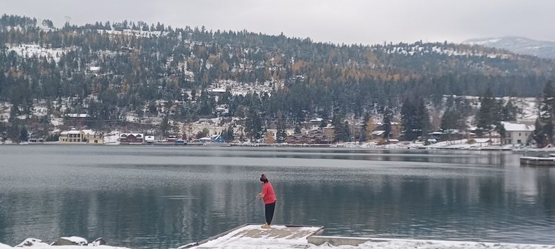
Cherry orchards give the eastern shore of Flathead Lake a seasonal attraction beyond the water views. In spring, blossoms brighten the landscape; in summer, some roadside stands offer fresh fruit when the harvest is ready.
Montana Highway 35 runs between the Bigfork area and Polson, passing lakeside communities, orchards, and wooded stretches.
Flathead Lake covers approximately 191 square miles, leaving plenty of open water in view from suitable vantage points along the shore.
Begin with a walk around Bigfork if you like pairing a town stop with a drive. Then head south, keeping an eye out for designated lake access and recreation areas.
Swimming, boating, fishing, and picnicking are possibilities around the lake, although the facilities and fees differ by location.
A small cooler comes in handy if you plan to buy cherries. Harvest dates shift with growing conditions, so the roadside stands should be a pleasant possibility rather than a fixed appointment on your itinerary.
Traffic can become busy in summer. Pull fully into a safe stopping place for photographs instead of slowing unexpectedly along the highway. Polson makes a natural endpoint at the southern end of the lake.
A bigger appetite for driving opens up a longer circuit using U.S. Highway 93 on the western side. That adds a different perspective on the water without simply retracing Highway 35.
Route: Montana Highway 35 along Flathead Lake’s eastern shore, between Bigfork and Polson.
9. Skalkaho Highway
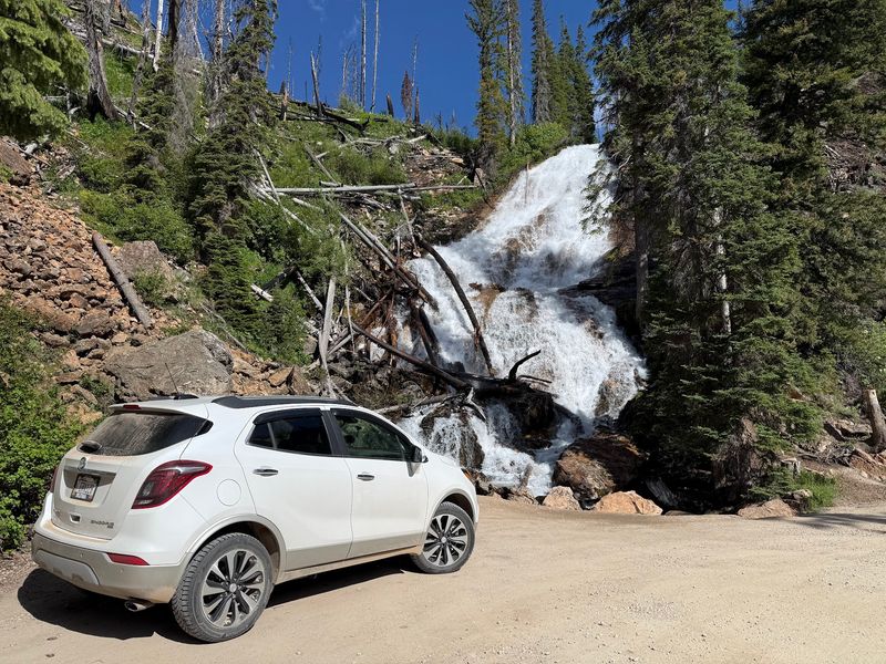
A waterfall close to the roadway makes this mountain crossing distinctive before you even consider the scenery around it. Skalkaho Falls tumbles down a rocky slope beside a route of forested hills, meadows, and narrow curves.
Montana Highway 38 connects the Hamilton area with the Philipsburg region, crossing the Sapphire Mountains at Skalkaho Pass, roughly 7,260 feet above sea level.
Sections are gravel, and the tight turns call for attentive, unhurried driving rather than an attempt to make up time.
The road through the mountains was developed in 1924 along a corridor with much older Indigenous travel history. Today the changes between wooded valleys and more open slopes provide much of the interest, with the falls adding a memorable roadside feature.
Find a permitted parking location before getting out to see the waterfall. Narrow sections leave little room for casual stops, and approaching traffic deserves your full attention. Trailers are prohibited on the pass route, making vehicle choice an important part of planning.
The high road closes during winter and reopens according to conditions. Check the road report before leaving Hamilton or Philipsburg, and carry an offline map and adequate fuel.
This is a route to enjoy when you have time for its curves, not when you’re searching for the quickest way between towns.
Route: Montana Highway 38 between the Hamilton area and Philipsburg, crossing Skalkaho Pass.
10. Big Sheep Creek Back Country Byway
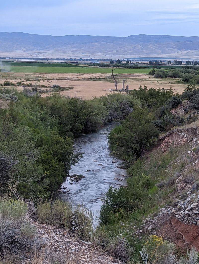
Beyond the Dell exit on Interstate 15, southwestern Montana opens into canyon country, winding creek valleys, and mountain slopes with few roadside services. This is a drive where preparation matters every bit as much as choosing a good day for the scenery.
Big Sheep Creek Back Country Byway covers more than 50 miles through the Tendoy Mountains and Medicine Lodge area.
Designated in 1989, it follows a remote, mostly gravel route through three distinct landscapes: the rocky walls of Big Sheep Canyon, a broad valley beside the Continental Divide, and the greener Medicine Lodge corridor.
From the Dell interchange, follow Westside Frontage Road south for about two miles to Big Sheep Creek Road.
The route continues toward Medicine Lodge Road and ultimately reaches Montana Highway 324 west of Clark Canyon Reservoir.
Allow around three hours in favorable conditions, or longer if you’re making suitable stops.
There are no dependable visitor services or potable-water supplies along the byway. Bring drinking water, food, a spare tire, and an offline map; arrange fuel before setting out. Cellular reception can be limited, so share your route with someone beforehand.
Summer generally provides the more practical driving season, but rain can quickly make gravel and dirt surfaces difficult.
Avoid using the road as a spontaneous shortcut after wet weather. With the right preparation, the canyon walls and open valley scenery provide a fittingly quiet finish to the route itself.
Route: More than 50 miles from Big Sheep Creek Road near Dell, through the Medicine Lodge area to Montana Highway 324.