Around Dillon Reservoir, a simple walk or bike ride can turn into an afternoon of mountain views and lakeside stops. The Summit County Paved Recreational Pathway links communities across Colorado’s high country, giving visitors miles of pavement away from regular road traffic.
Pick a short stretch or plan a longer ride, but leave room for hills, changing weather, and the occasional scenic distraction.
A Mountain Network That Lets You Leave The Car Behind
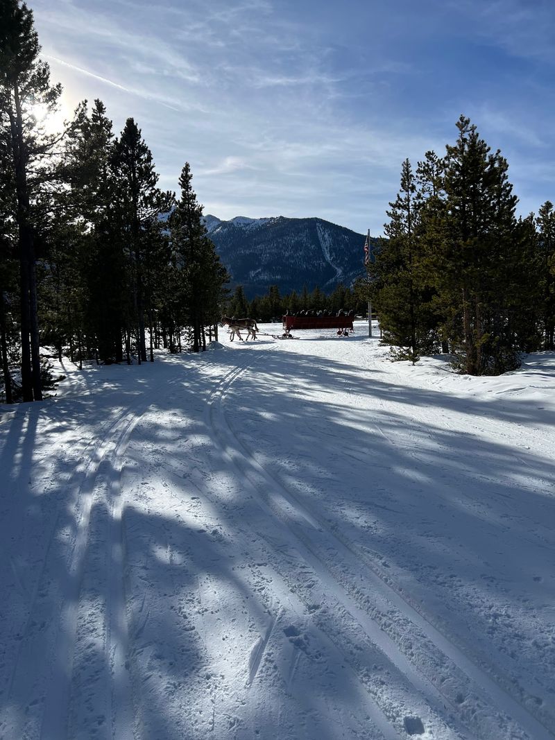
A mountain outing does not have to begin with a rocky trail or a loaded backpack. Across Summit County, paved recreation paths give walkers, runners, and cyclists another way to explore the high country without following regular road traffic.
The appeal is the network, not a single stretch of pavement. Connections around Dillon, Frisco, Breckenridge, and other communities let you shape a trip around your time, energy, and comfort with hills.
For a first visit, choose one manageable segment rather than trying to cover the whole system. An out and back makes navigation simple, and you can turn around whenever your legs start voting for lunch.
Car-free does not mean completely separated from roads at every point. Expect intersections, access points, and other users, and slow down wherever visibility is limited.
Colorado mountain distances can feel longer than the same mileage at home, especially during your first day at elevation. Start with a modest goal, bring water, and save the ambitious route for another morning.
Before setting off, look at the county’s current recreation pathway map. Knowing where your chosen segment leads is far more useful than discovering, halfway through, that the pleasant downhill has quietly become tomorrow’s uphill problem for your tired legs.
Dillon Reservoir Views Come With A Map Check
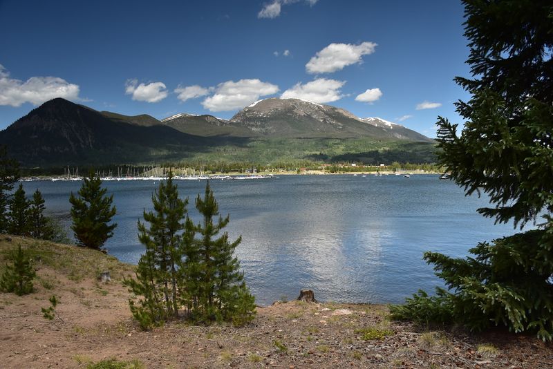
The water gives your eyes somewhere to wander, which is a good reason to stop before admiring it. Along portions of the network near Dillon Reservoir, the scenery pairs open water with mountain slopes and changing shoreline views.
The Summit County Paved Recreational Pathway is a regional system, not one attraction with a single front door. That distinction matters when choosing parking, meeting friends, or deciding where a family ride should begin.
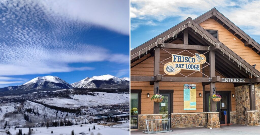
The address 621 Recreation Way, Frisco, CO 80443, belongs to Frisco Adventure Park, not a designated entrance to the Summit County Paved Recreational Pathway. Use an official pathway map to select an appropriate access point.
Once you have a confirmed start, study the route rather than assuming the shoreline offers one easy, level loop. Reservoir terrain includes climbs, and connecting sections may require more effort than a photograph suggests.
For a relaxed outing, pick a lakeside segment and retrace your route. You still get changing views without committing to a much longer circuit.
Bring a small snack and stop clear of moving traffic. A reservoir break works best when everyone can enjoy the view without turning the middle of the path into an unexpected picnic table for passing riders.
Town Connections Turn A Ride Into A Small Adventure
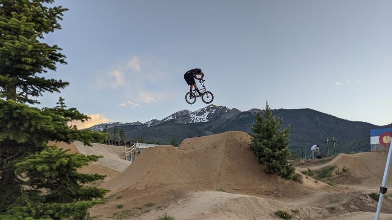
Going somewhere can be more motivating than simply counting miles. The Summit County Paved Recreational Pathway connects town outings with longer stretches of mountain travel, making a ride feel like a small journey rather than laps around a park.
One established corridor follows the Blue River between Frisco and Breckenridge. Other parts of the regional network reach toward Dillon, Keystone, and Copper Mountain, opening several choices for riders who want a destination.
Those connections are not interchangeable in difficulty. A route toward a mountain pass asks much more of your legs than a short outing near town, so compare elevation gain as carefully as mileage.
Choose a turnaround landmark before you leave. A junction, a mapped access point, or the edge of a town gives everyone a shared goal without requiring a complicated schedule.
Keep enough energy for the return, particularly when the outward ride feels suspiciously easy. Gravity is generous in one direction and expects repayment in the other.
Colorado visitors should also remember that a town connection does not guarantee services along every mile. Carry water, a snack, and basic repair supplies instead of depending on an unplanned stop.
A downloaded map helps when junctions arrive faster than expected or phone reception becomes unreliable.
Short Walks Deserve A Place Beside Big Rides
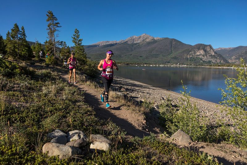
You do not need a bicycle to make good use of all that pavement. A short walk can deliver the same mountain backdrop without rental decisions, gear adjustments, or a debate about whose saddle needs changing.
The Summit County Paved Recreational Pathway serves people moving at different speeds. Walkers and runners belong here too, but sharing the space calls for attention, especially near bends and busy access points.
Keep right, leave room for others to pass, and avoid spreading across the full width. If your group stops to check a map, step completely aside rather than forming a small planning committee in traffic.
Good To Know: Pavement does not automatically mean a route is level or suitable for every mobility need. Check grades, surfaces, and access details for the exact segment before choosing it.
A short outing also fits an ordinary afternoon. After errands, you could take a gentle walk, carry a snack, and head back before the plan becomes a major production.
For families, choosing a nearby turnaround can be more successful than announcing a mileage target. Let the scenery provide the entertainment.
Keep children close near intersections, and teach them to look behind before changing direction. Predictable movement makes the pathway calmer for everyone.
High Country Weather Gets A Vote In Your Plans
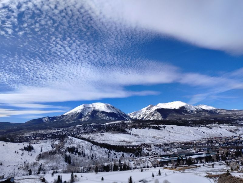
Blue sky at breakfast is not a promise for the whole afternoon. Mountain weather can change quickly, and exposed stretches of pavement offer little protection when wind, rain, or thunderstorms move in.
Before using the Summit County Paved Recreational Pathway, check the forecast for the area you plan to travel through. A longer ride may carry you well beyond the weather you can see from your starting point.
Pack a light layer and rain protection, even when the parking lot feels warm. Sunscreen, sunglasses, and water deserve space beside them, because cool air can disguise how much sun you are getting.
Colorado’s elevation also rewards a slower start. Visitors arriving from lower elevations should keep the first outing easy and avoid treating unusual fatigue as a challenge to push through.
Turn back when conditions call for it. If thunderstorms develop, seek substantial shelter rather than waiting beneath an isolated tree or lingering at an exposed viewpoint.
Season matters as much as the daily forecast. Snow and ice can affect sections outside the warmer months, and a paved surface should never be mistaken for a guarantee of clear travel.
Check current county notices before leaving. A shorter ride in settled weather beats completing a route while uncomfortable.
A Confirmed Starting Point Makes The Day Easier
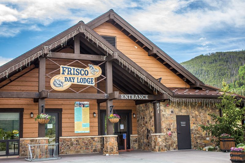
The easiest Colorado outdoor day usually begins with one unglamorous decision: knowing exactly where to start. For the Summit County Paved Recreational Pathway, choose a mapped access point that matches your route rather than trusting a broad place listing.
The address 621 Recreation Way, Frisco, CO 80443, belongs to Frisco Adventure Park. Confirm your actual starting point through official county or town mapping before using it for navigation.
Once that is settled, keep the plan small. Pick a route length, note the first major junction, and agree on a turnaround time that leaves room for breaks.
Check parking rules at your chosen access point instead of assuming every nearby lot allows trail parking. Restrooms and drinking water also vary, so arrive prepared rather than building the outing around facilities you have not confirmed.
For cyclists, a quick tire and brake check prevents avoidable trouble. Carry a repair kit you know how to use, and make sure a rental bike feels comfortable before heading farther away.
Save the map to your phone and tell someone your general plan if traveling alone. Neither task takes long.
Then let the schedule breathe. A simple weekend detour can remain exactly that, with no obligation to turn it into an endurance event.
Scenic Miles Are Better When Nobody Is Rushed
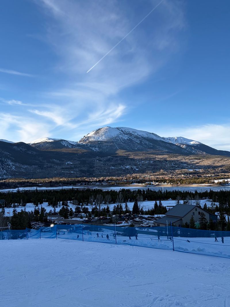
The best distance may be the one that leaves you wanting another mile tomorrow. With a network this extensive, there is no need to turn a first outing into a test of fitness or determination.
The Summit County Paved Recreational Pathway gives couples, families, solo walkers, and weekend riders room to choose different kinds of days. The common thread is access to mountain scenery from a paved route, not a requirement to move quickly.
Choose your segment honestly. A confident cyclist may enjoy linking towns, while a visitor adjusting to elevation may get more pleasure from a brief reservoir walk and a long pause beside the water.
Courtesy helps those plans coexist. Give clear warning before passing, reduce speed around children, and keep your attention on the path rather than a phone screen.
When stopping for photographs, move out of the travel lane first. Mountains are patient subjects; people approaching on bicycles have less room to improvise.
Colorado’s high country can make an ordinary afternoon feel larger, but the practical pleasures remain simple: a comfortable pace, enough water, and a route that suits the people along for it.
Finish with energy left. The reservoir and the town connections will still be there for a different day’s ride.