Most visitors to Utah follow the same well-worn route between five famous parks and never look sideways. The parking lots fill, the overlooks fill, and the real landscape waits just off the radar for anyone paying close enough attention.
These trails have always been out there. Utah has been keeping them like quiet rewards for hikers willing to wander a little further than the map recommends.
Pack your water, ignore the obvious route, and get ready to wonder why it took you this long to find them.
1. Willis Creek Narrows Trail, Kanab
How often do you find a slot canyon you can actually walk through without a permit, a guide, or a crowd?
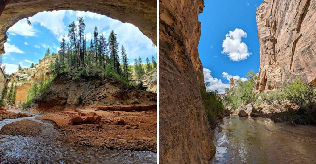
Willis Creek Narrows Trail near Kanab, Utah, is one of those rare finds that feels almost too good to be true.
The trail winds through a sandstone slot canyon carved by Willis Creek, with walls that close in dramatically around you as you walk.
The canyon floor is mostly flat and easy to navigate, making it accessible for hikers of most skill levels.
You will cross the creek multiple times, so waterproof boots or sandals are a smart call before you head out.
The colors of the canyon walls shift from deep orange to pale pink depending on the light, and the narrow passages create natural frames for photos that look almost unreal.
This trail sits on Bureau of Land Management land, so there are no entrance fees to worry about.
The round trip covers roughly four miles, making it a manageable morning or afternoon adventure.
Keep your eyes open for wildlife along the creek banks, as birds and small animals are common here.
Willis Creek rewards the curious with beauty that most tourists completely drive past.
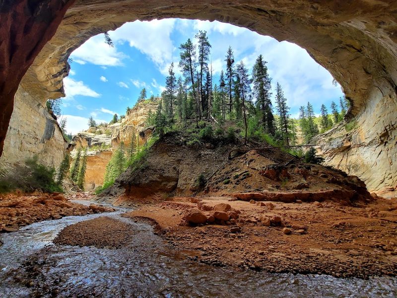
2. Sulphur Creek Trail, Capitol Reef National Park
Capitol Reef National Park gets a fraction of the attention Zion or Bryce Canyon receives, and Sulphur Creek Trail takes that quiet reputation even further.
This trail follows the actual creek bed through a winding canyon, which means you are literally walking in the water for much of the route.
Pack dry bags for your gear and wear shoes you do not mind getting completely soaked.
The hike runs roughly six miles one way, starting near the Chimney Rock trailhead and ending at the Capitol Reef Visitor Center on UT-24.”
Along the way, you will scramble down small waterfalls, squeeze through narrow canyon passages, and spot fossils embedded in the canyon walls.
The geological history on display here is genuinely staggering, with rock layers representing millions of years of Earth’s story.
Summer mornings are the best time to tackle this trail before the afternoon heat builds up.
Flash flood risk is real in canyon country, so always check weather conditions before you start.
Rangers at the visitor center can give you updated trail conditions and helpful tips.
Sulphur Creek is the kind of trail that turns a regular hike into a full-on adventure story.
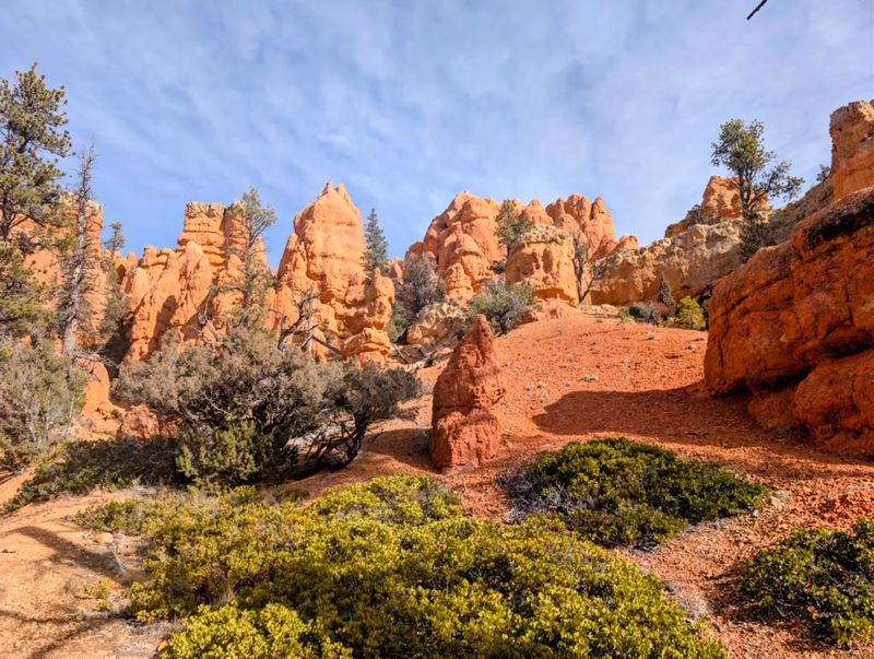
3. Yant Flat Trailhead, Washington
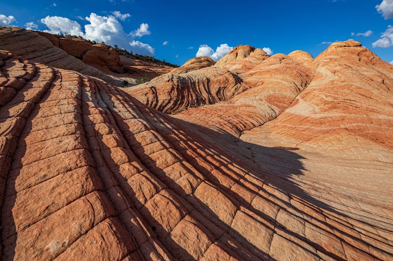
Yant Flat might just be the most underrated spot in southern Utah, and that is saying something in a state full of jaw-dropping scenery.
Located near Washington, Utah, this trail leads to a plateau covered in swirling pink, red, and white sandstone formations that look like something painted by a very dramatic artist.
The area is often called “The Candy Cliffs” by locals, and once you see the colors, that name makes perfect sense.
Getting there requires driving on a rough dirt road, so a high-clearance vehicle is strongly recommended before you even think about parking.
The trail itself is not heavily marked, which means navigation skills and a downloaded map are essential tools for this outing.
Distance can vary depending on how far you choose to explore the plateau, but plan for at least a few miles of hiking in total.
Morning light hits the sandstone formations with a warm glow that photographers absolutely love to capture.
There are no facilities at the trailhead, so bring everything you need including plenty of water.
The remoteness of Yant Flat is exactly what makes it special, as crowds are rarely part of the equation here.
Go prepared, stay curious, and let the landscape completely surprise you.
4. Losee Canyon Trail, Dixie National Forest
Red rock and pine trees are not a combination you expect to find together, but Losee Canyon Trail in Dixie National Forest delivers exactly that surprising pairing.
Located near Panguitch, Utah, this trail travels through a canyon where towering hoodoos and forested slopes share the same landscape in a way that feels genuinely unique.
The trailhead is accessed via Losee Trailhead Road, and the drive through the forest is already scenic before you even lace up your boots.
Losee Canyon sits at a higher elevation than much of the surrounding region, which means cooler temperatures even in the middle of summer.
That elevation also brings wildflowers in late spring and early summer, carpeting the canyon floor in colors that make every step feel rewarding.
The trail is relatively quiet compared to the nearby Bryce Canyon crowds, offering a peaceful alternative for hikers who want solitude.
Wildlife sightings are common here, with mule deer and various bird species frequently spotted along the route.
The canyon walls change character as you hike deeper in, shifting from open forest to tighter, more dramatic terrain.
Bring layers, since mountain weather can shift quickly even on clear days.
Losee Canyon is one of those trails that locals keep quietly to themselves for very good reason.
5. Maybird Gulch Trail, Sandy
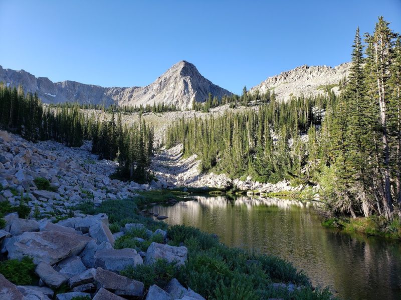
Right on the edge of Sandy, Utah, a trail climbs into the Wasatch Mountains and delivers alpine scenery that feels worlds away from the suburbs below.
Maybird Gulch Trail is a favorite among locals who know the area well, but it rarely shows up on tourist radar, which keeps it refreshingly uncrowded.
The trail gains significant elevation as it moves through the gulch, rewarding hikers with views of rocky peaks and cirque basins that feel genuinely remote.
Wildflowers bloom aggressively in early summer along the stream corridor, turning the gulch into a vivid display of color against the grey rock faces above.
The creek running through the gulch stays cold and clear well into the warmer months, fed by snowmelt from the peaks above.
This trail is best attempted when snow has cleared from the upper sections, typically from late spring through early fall.
Traction devices and trekking poles are helpful for the steeper sections closer to the upper basin.
The trailhead area can fill up on weekends, so arriving early in the morning is a practical strategy for securing parking.
Watch for mountain goats on the rocky ridgelines above the gulch, as sightings are not uncommon here.
Maybird Gulch is the kind of trail that makes you wonder why you ever drove past it before.
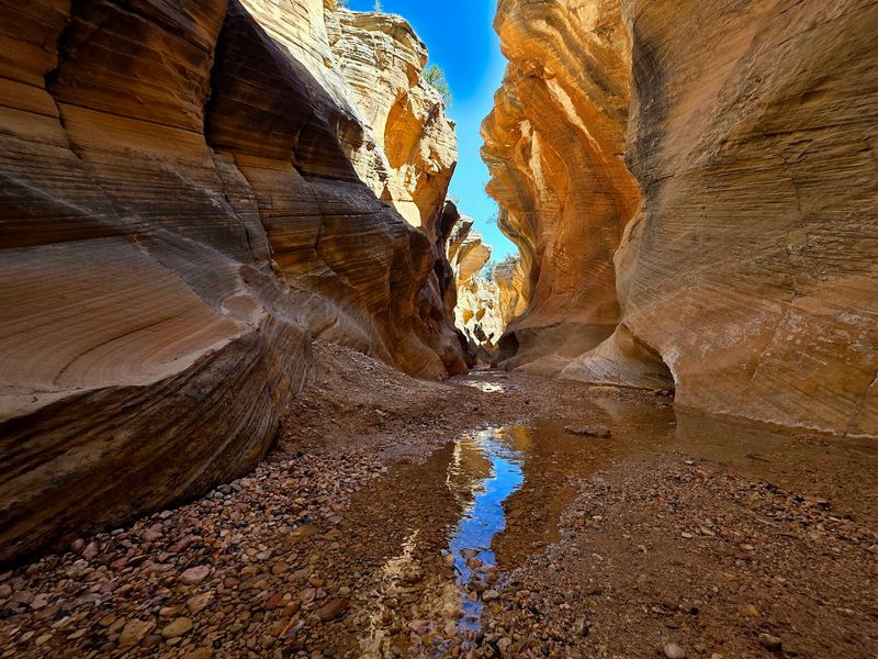
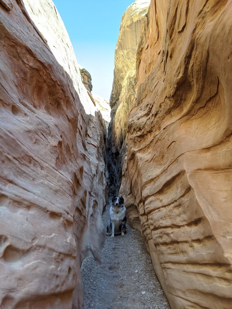
6. Lower Hackberry Canyon Trail, Kanab
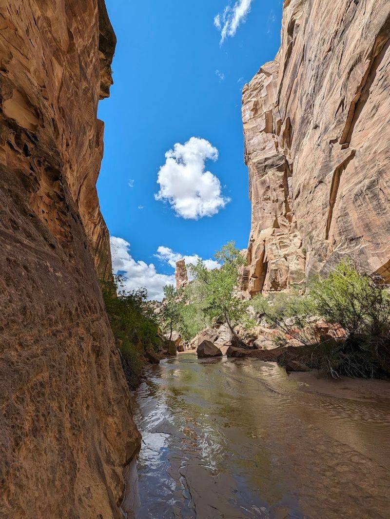
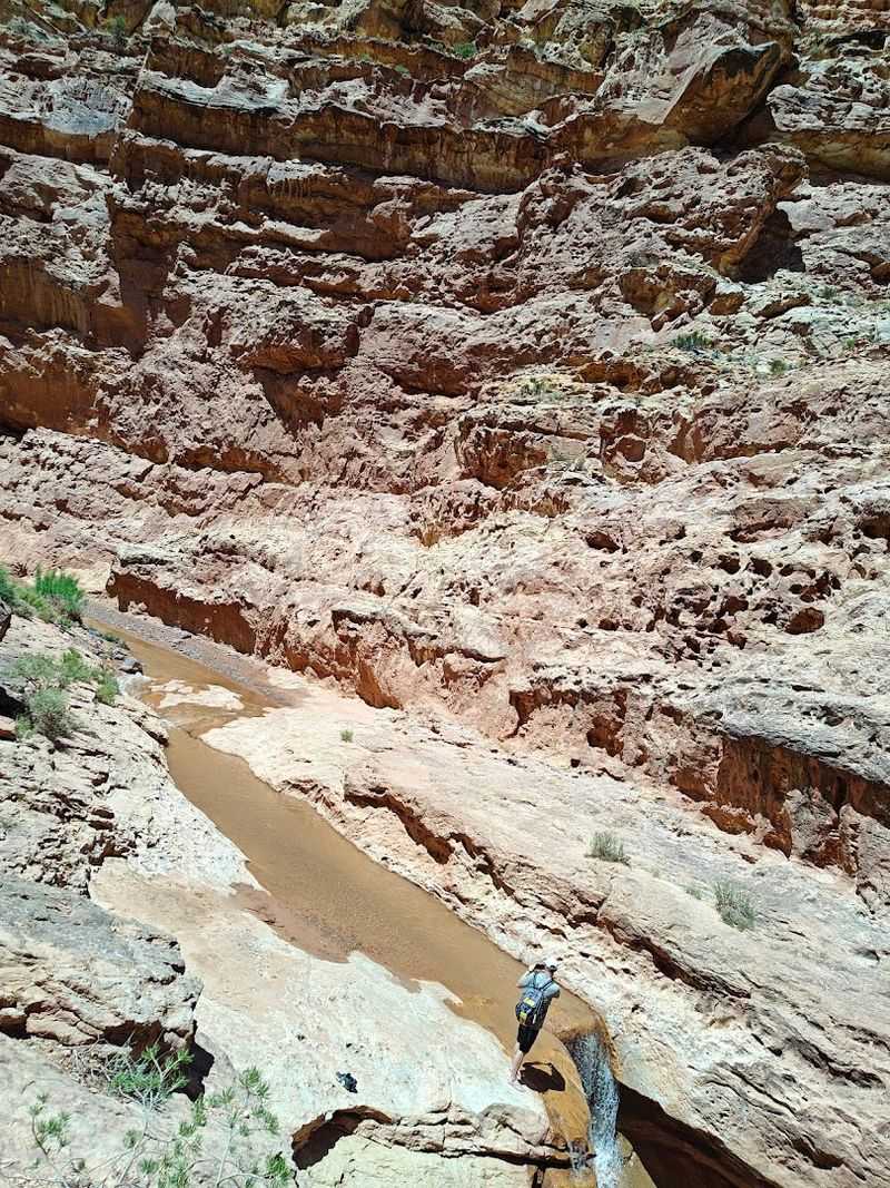
Hackberry Canyon is one of the longest and most remote slot canyons in the Grand Staircase-Escalante region, and the lower section near Kanab, Utah, is where the real solitude begins.
Lower Hackberry Canyon Trail follows the canyon bottom, crossing the creek repeatedly as the walls narrow and the scenery becomes increasingly dramatic with every mile.
Cottonwood trees line the creek bed, and in autumn their golden leaves contrast sharply against the deep red canyon walls in a way that stops you mid-step.
This trail is not marked or maintained in the traditional sense, so strong navigation skills and a detailed topographic map are genuinely necessary tools.
The terrain is rugged and the distances are long, making this a trail better suited to experienced hikers with solid outdoor skills.
Water is available from the creek but must be filtered before drinking, so carry a reliable filtration system.
The canyon sees very little foot traffic compared to more famous Utah destinations, which means wildlife encounters are more frequent and more rewarding.
Camping along the canyon is permitted in certain areas, making this a strong candidate for an overnight backpacking trip.
Plan your route carefully and always leave a trip plan with someone you trust before heading out.
Lower Hackberry Canyon rewards preparation with the kind of raw, unfiltered wilderness that is getting harder to find.
7. Lick Wash Trail, Kanab
Lick Wash is the trail you find when you are done sharing your hiking experience with tour groups and selfie sticks.
Located on Bureau of Land Management land near Kanab, Utah, this trail starts as a wide, open wash before narrowing into a beautiful sandstone canyon that feels genuinely tucked away from the world.
The contrast between the open desert at the trailhead and the enclosed canyon further in is one of the most satisfying transitions in southern Utah hiking.
The route is roughly eight miles round trip, giving you enough distance to feel the full character of the landscape without pushing into extreme territory.
Canyon walls rise impressively on both sides as you move deeper into the wash, with smooth curves and layered rock telling a geological story millions of years in the making.
No permit is required to hike here, and there is no entrance fee, which makes it an easy choice for budget-conscious adventurers.
The sandy canyon floor makes for relatively soft footing compared to rocky desert trails, though uneven terrain still calls for sturdy footwear.
Shade inside the canyon makes midday hiking more comfortable than on exposed desert trails nearby.
Bring more water than you think you need, since the dry desert air pulls moisture faster than most people expect.
Lick Wash is proof that the best trails sometimes have the least fanfare attached to them.
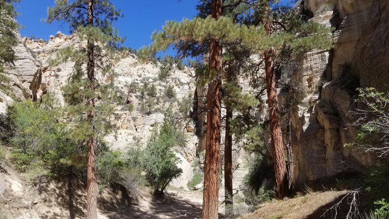
8. Ashdown Gorge Trail, Cedar City
Cedar Canyon outside Cedar City, Utah, holds a trail that most people drive right past on their way to Brian Head or Bryce Canyon, and that is genuinely their loss.
Ashdown Gorge Trail descends into a dramatic gorge carved by Ashdown Creek, where pink and white limestone walls tower above a surprisingly lush canyon floor.
The combination of desert geology and dense riparian vegetation creates an environment that feels almost tropical in stretches, which is not what most people expect from southern Utah.
The trail runs through the Ashdown Gorge Wilderness Area, a designation that keeps the area free from motorized use and helps preserve its quiet, natural character.
Route-finding requires some attention since the trail crosses the creek multiple times and is not always clearly marked throughout its full length.
The gorge is at a higher elevation than the surrounding desert, which keeps temperatures cooler and makes it a particularly appealing summer hiking destination.
Wildflowers, ferns, and mossy rocks appear throughout the canyon, creating textures and colors that feel out of place in the best possible way.
Trekking poles are helpful for navigating the creek crossings, especially when water levels are higher in spring.
The gorge is roughly twelve miles long in total, but shorter out-and-back options make it flexible for different fitness levels.
Ashdown Gorge is a trail that earns its place on any serious Utah hiking list.
9. Little Wild Horse Canyon And Bell Canyon Trail, Green River
What happens when you connect two of the best slot canyons in the San Rafael Swell into one loop hike?
You get the Little Wild Horse Canyon and Bell Canyon Trail near Hanksville, Utah, one of the most satisfying canyon loops in the entire state.
Little Wild Horse Canyon is the narrower and more dramatic of the two, squeezing hikers through tight passages where the walls nearly touch overhead.
Bell Canyon offers a wider, more open return route with its own distinct character and canyon scenery that keeps the loop from feeling repetitive.
The full loop covers roughly eight miles and is considered moderate, making it accessible to a wide range of hikers with reasonable fitness levels.
The trailhead is accessed via County Road 1013, and the drive through the San Rafael Swell is already a scenic experience in its own right.
No technical climbing or specialized gear is required, though good footwear with ankle support is strongly recommended for the uneven canyon floor.
The area is managed by the Bureau of Land Management, so no entrance fees apply to this trail.
Spring and fall offer the most comfortable temperatures for this hike, and wildflower season adds extra color to the desert surroundings.
Little Wild Horse and Bell Canyon together make a loop that is hard to top anywhere in Utah.
10. Capitol Gorge Trail, Torrey
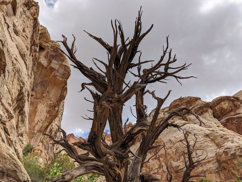
Before Capitol Reef National Park had a paved highway running through it, Capitol Gorge was the main road that pioneers and settlers used to cross the Waterpocket Fold, and you can still feel that history on every step of this trail.
Capitol Gorge Trail near Torrey, Utah, follows the canyon bottom through a narrow gorge where the walls display ancient petroglyphs left by the Fremont people and pioneer signatures carved into the rock by early settlers.
This living record of human history embedded in the canyon walls makes Capitol Gorge unlike almost any other hiking trail in Utah.
The trail is relatively flat and easy, running roughly two miles one way to the natural water tanks at the end of the route.
Those tanks, called potholes, collect rainwater and create small pools that reflect the canyon walls in a way that makes the destination worth every step.
The gorge is shaded for much of the day by its towering walls, making it a cooler option during hot summer months.
No special permits are required beyond the Capitol Reef National Park entrance fee, which covers access to the gorge trailhead.
Keep your eyes moving along the canyon walls, because the petroglyphs appear at unexpected moments and reward attentive hikers.
The canyon floor can be sandy and soft in sections, so footwear with good grip is a practical choice.
Capitol Gorge quietly carries centuries of stories, and it tells them to anyone willing to walk through.