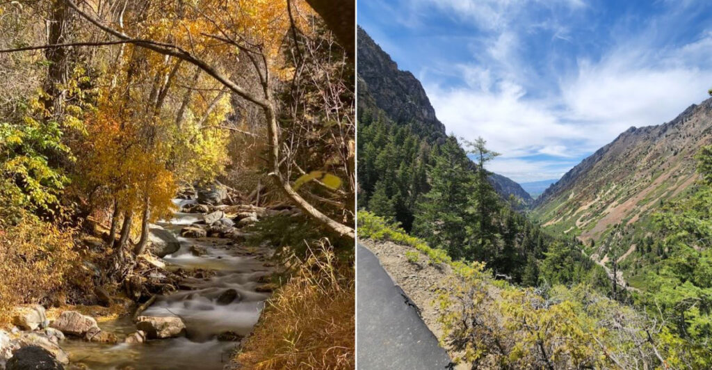
A great scenic drive does not need souvenirs to prove it happened; the windshield view does that job perfectly. In northern Utah, this mountain route turns a simple Saturday drive into a rolling highlight reel of cliffs, curves, waterfalls, and forests that seem to change mood with every mile.
The appeal is not complicated, which is exactly why it works so well. One bend brings a canyon overlook, the next hints at hidden caves, and the next opens into groves that glow like they were saving their best color for your arrival.
It is the kind of road where nobody complains about taking the long way, because the long way is the whole point. When autumn reaches Utah’s high country, the drive becomes even more cinematic, with crisp air, golden leaves, and views that make every pullout feel necessary.
Pack snacks, charge your phone, and let the road make the plans.
The Alpine Loop Scenic Byway: A Mountain Road Worth Every Twist
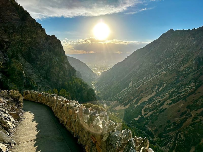
Not every mountain road earns the word “scenic” in its official name, but the Alpine Loop Scenic Byway along State Route 92 in Utah makes a convincing case. Stretching roughly 20 miles through the Wasatch Range, this loop connects the towns of American Fork and Provo Canyon, threading through terrain that looks like someone turned the drama dial up to eleven.
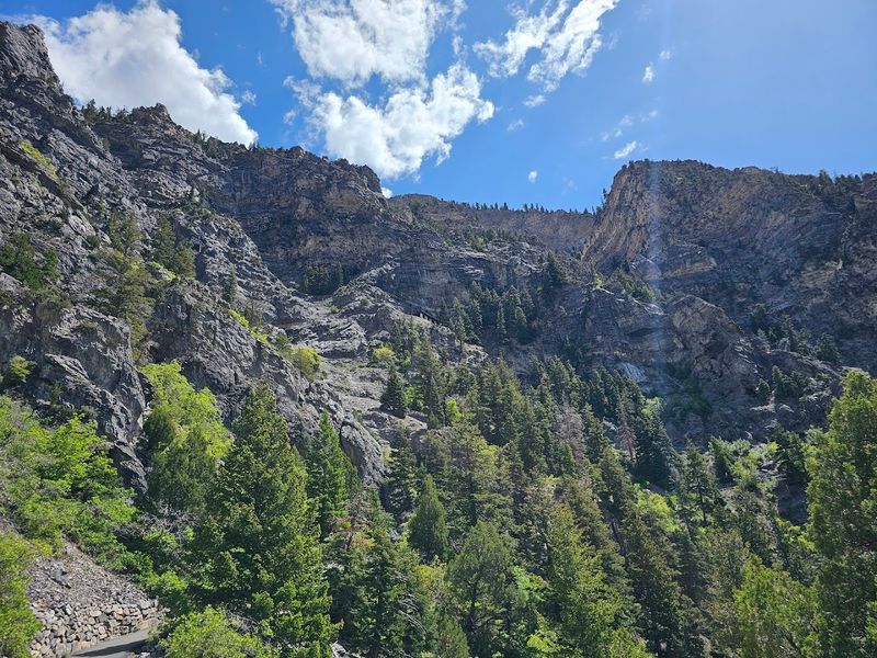
The road climbs through dense canyon walls, past rushing streams, and into open alpine meadows where the sky feels wider than it has any right to be. Most of the route sits above 6,000 feet in elevation, with some sections pushing well past 8,000 feet.
Quick Tip: The byway is typically open from late May through mid-October, depending on snowpack. Check road conditions before heading out, especially in early spring or after late-season storms.
Plan for at least two to three hours if you want to stop and actually absorb what you came to see.
Families, couples, and solo adventurers all find something worth pulling over for on this route. The road is paved and manageable for standard vehicles, making it genuinely accessible without sacrificing the feeling that you earned every view.
Bridal Veil Falls: The Waterfall That Stops Traffic (Literally)
Few waterfalls in Utah have the audacity to position themselves directly beside a highway, as if daring you not to slow down. Bridal Veil Falls in Provo Canyon sits right along the route near the eastern end of the Alpine Loop, and it is hard to miss: a double-tiered cascade that drops roughly 607 feet down a sheer quartzite cliff.
The falls are fed by snowmelt and spring runoff, which means late spring and early summer visits reward you with the most dramatic flow. By late summer, the volume tapers, but the setting stays striking regardless of season.
Best For: Quick stops with kids, photography enthusiasts, and anyone who wants a genuine waterfall moment without a long hike. A short, flat trail brings you close enough to feel the mist, which on a warm Utah afternoon qualifies as a minor miracle.
Parking is available nearby, though weekends in peak season fill up fast. Arrive before 10 a.m. or after 4 p.m. to avoid the thickest crowds.
The falls have been a beloved landmark in the canyon for generations, and standing beneath them, it is easy to understand why.
Timpanogos Cave National Monument: The Underground Surprise
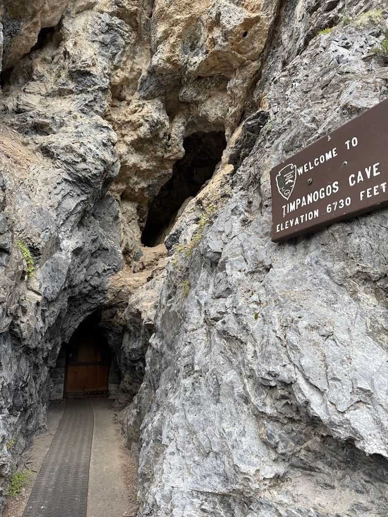
Hidden inside Mount Timpanogos, the cave system at Timpanogos Cave National Monument is the kind of geological surprise that makes you feel like you accidentally stumbled into a nature documentary. The monument encompasses three connected caves: Hansen Cave, Middle Cave, and Timpanogos Cave, all linked by man-made tunnels that were completed in the 1930s.
Getting there requires a moderately strenuous 1.5-mile hike up a paved trail that gains about 1,065 feet in elevation. The payoff is a guided tour through caverns filled with rare helictites, stalactites, stalagmites, and a formation called the Heart of Timpanogos, which has become an unofficial icon of the monument.
Insider Tip: Cave tours are limited and sell out quickly during summer weekends. Reserve tickets well in advance through the National Park Service reservation system.
Temperatures inside the caves hover around 45 degrees Fahrenheit year-round, so bring a light jacket even if it is 90 degrees outside.
The cave entrance sits at 6,730 feet, and the hike up rewards visitors with canyon views before the underground spectacle even begins. Allow roughly three to four hours total for the hike and tour combined.
Mount Timpanogos: The Peak That Defines the Skyline
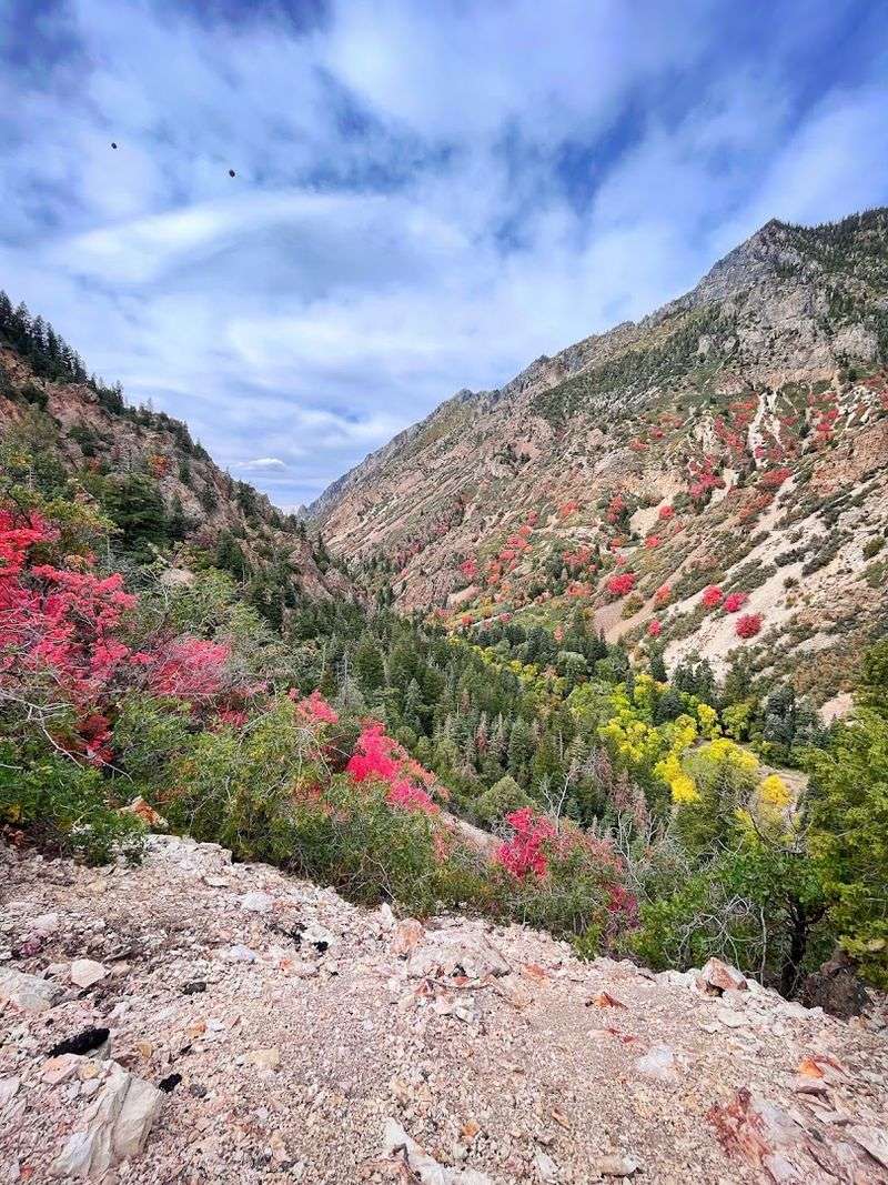
Mount Timpanogos is the kind of mountain that makes people stop mid-sentence to point at it. Rising to 11,752 feet, it is the second-highest peak in the Wasatch Range and the undisputed visual anchor of the entire Alpine Loop corridor.
From almost any point along State Route 92, its ridgeline cuts across the sky in a way that feels almost theatrical.
Hikers who want more than a windshield view can access the Timpooneke Trail from the American Fork Canyon side of the loop. The full summit hike covers roughly 14 miles round trip and gains about 4,580 feet in elevation, placing it firmly in the “serious endeavor” category rather than the casual afternoon category.
Planning Advice: Start summit attempts before sunrise to avoid afternoon thunderstorms, which are common in July and August at high elevations. Trekking poles, layered clothing, and plenty of water are non-negotiable at this elevation.
Even if you have no intention of reaching the summit, the mountain rewards simply being nearby. The alpine meadows at its base bloom with wildflowers from July through August, turning the landscape into something that feels almost embarrassingly beautiful for a place this accessible from a main highway.
American Fork Canyon: Where the Drive Gets Seriously Good
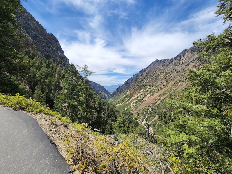
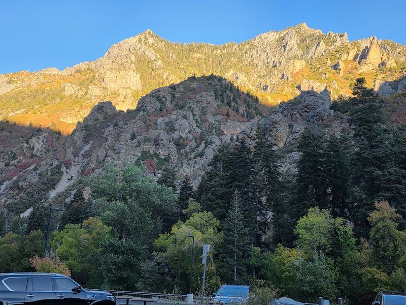
American Fork Canyon is where the Alpine Loop earns its reputation before you even reach the high elevations. The lower canyon section of State Route 92 follows the American Fork River through narrow limestone walls that rise dramatically on both sides, creating the kind of corridor that makes passengers abandon whatever podcast they were half-listening to.
The canyon is part of Uinta-Wasatch-Cache National Forest, and a day-use fee applies for entry. Picnic areas, campgrounds, and trailheads line the canyon road, making it easy to turn a scenic drive into a full day of outdoor activity without much additional planning.
Pro Tip: The canyon sees heavy traffic on summer weekends, particularly near the Timpanogos Cave trailhead. Weekday visits offer a noticeably quieter experience, with easier parking and a more relaxed pace throughout.
Fishing enthusiasts should know that the American Fork River supports populations of brown and rainbow trout, and the canyon stretch is a legitimate destination for anglers. Even if fishing is not on your agenda, the sound of the river running alongside the road adds a layer of atmosphere that no playlist can replicate.
It is the kind of canyon that makes Utah’s reputation for dramatic scenery feel completely justified.
Fall Foliage on the Loop: Aspens That Know What They Are Doing
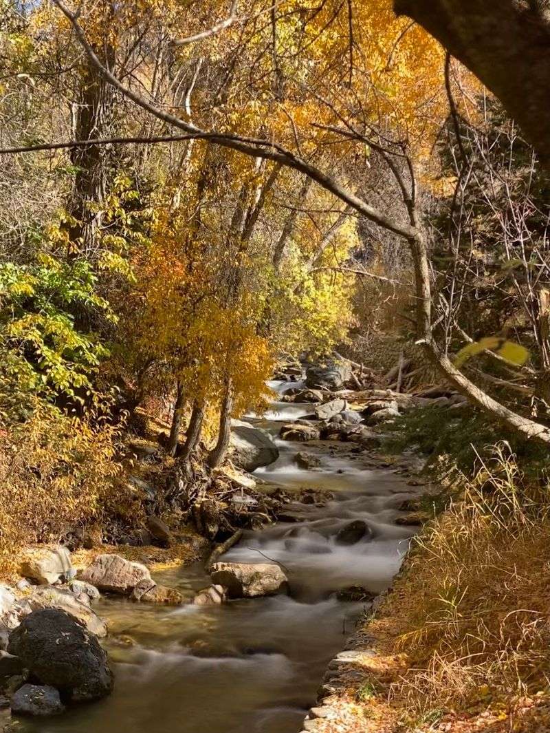
If the Alpine Loop has a peak season argument, fall foliage makes the strongest case. From roughly mid-September through mid-October, the aspen groves that blanket the upper elevations of the Wasatch Range shift from green to a gold so vivid it looks digitally enhanced.
Spoiler: it is not.
Aspens in Utah are famously connected at the root system, meaning entire hillsides are technically one organism changing color in near-perfect synchrony. Driving the loop during peak color is the kind of experience that makes people who claim to hate nature go quiet and reach for their phones.
Best Strategy: Peak color timing varies by year and elevation. Higher sections of the loop tend to turn first, so check local foliage reports in early September to time your visit accurately.
Weekends in October fill parking areas quickly, so a weekday morning drive delivers the same color with far fewer competing camera angles.
The loop road itself frames the aspen groves beautifully from inside a vehicle, making this one of the rare Utah scenic experiences that does not require hiking to fully appreciate. Pull-offs along the route give you space to stop and absorb the view without causing a traffic situation nobody wants to be part of.
The Sundance Area: A Cultural Detour Worth Knowing About
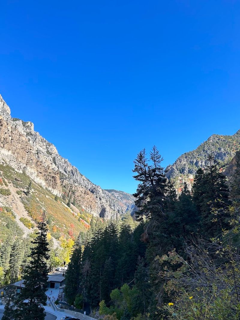
Near the eastern end of the Alpine Loop, the Sundance Resort sits tucked against the base of Mount Timpanogos in a way that feels deliberately understated for something this well-known. The resort is closely associated with filmmaker Robert Redford, who developed it with a philosophy of keeping the natural landscape central to the experience.
Visitors passing through the area can access the resort’s base area, which includes an art studio, general store, and access to scenic lift rides that carry passengers up the mountain for elevated views of the surrounding terrain. The setting alone justifies a brief stop even for those with no resort plans.
Who This Is For: Travelers who want a mix of outdoor scenery and a touch of cultural character without going far off the main route. Sundance sits just off State Route 92, making it a natural pause point rather than a significant detour.
The area around Sundance also provides access to hiking trails that wind through the forest without the elevation demands of a full Timpanogos attempt. For families or visitors who want a scenic walk without committing to a serious climb, this section of the loop delivers a relaxed alternative that still feels genuinely rewarding.
Wildlife Along the Route: The Locals Who Never Left
The Alpine Loop is not just a road through scenery; it is a corridor through active wildlife habitat. Mule deer are the most frequently spotted residents, often grazing in meadows near the road with the calm confidence of animals who know they have the right of way.
Early morning and evening hours improve your chances of sightings significantly.
Moose have also been documented in the canyon and upper meadow areas, particularly near water sources. Spotting one is not guaranteed, but the possibility adds a certain alertness to the drive that keeps passengers scanning the tree line rather than scrolling their phones.
Common Mistakes to Avoid: Do not stop in the middle of the road to photograph wildlife, no matter how tempting the shot looks. Pull completely off the road, use pull-outs where available, and maintain a respectful distance from all animals.
Feeding wildlife is prohibited and genuinely harmful to the animals regardless of how friendly they appear.
Bird watchers will find the canyon and alpine zones productive throughout the warmer months. Steller’s jays, Clark’s nutcrackers, and various hawk species are regularly observed along the route.
The combination of canyon, forest, and alpine habitat in one drive creates a surprisingly rich wildlife corridor for a road this accessible.
Planning Your Alpine Loop Drive: The Practical Details That Actually Matter
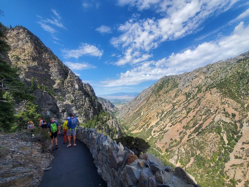
The Alpine Loop Scenic Byway runs between Highland and Provo Canyon, with the official State Route 92 designation covering the mountain section of the drive. The route is paved but narrow in sections, with no RV or trailer access permitted on the upper portions due to road width and switchback geometry.
Standard passenger vehicles handle the drive without issue.
A National Forest Recreation Pass or America the Beautiful pass covers the day-use fee for American Fork Canyon. Timpanogos Cave National Monument requires a separate entrance fee and cave tour ticket, both of which should be reserved ahead of time during peak season.
Who This Is Not For: Travelers with large RVs, those seeking high-speed driving, or anyone hoping for cell service throughout the route. Connectivity drops significantly once you enter the canyon, so download offline maps before you leave town.
Gas up before entering the canyon, as there are no fuel stops along the loop itself. The nearest services are in the towns of Highland, American Fork, and Provo.
Pack water, snacks, and layers regardless of the season, because mountain weather shifts faster than most weather apps acknowledge. With a little preparation, this drive delivers a disproportionate amount of reward for the effort it requires.