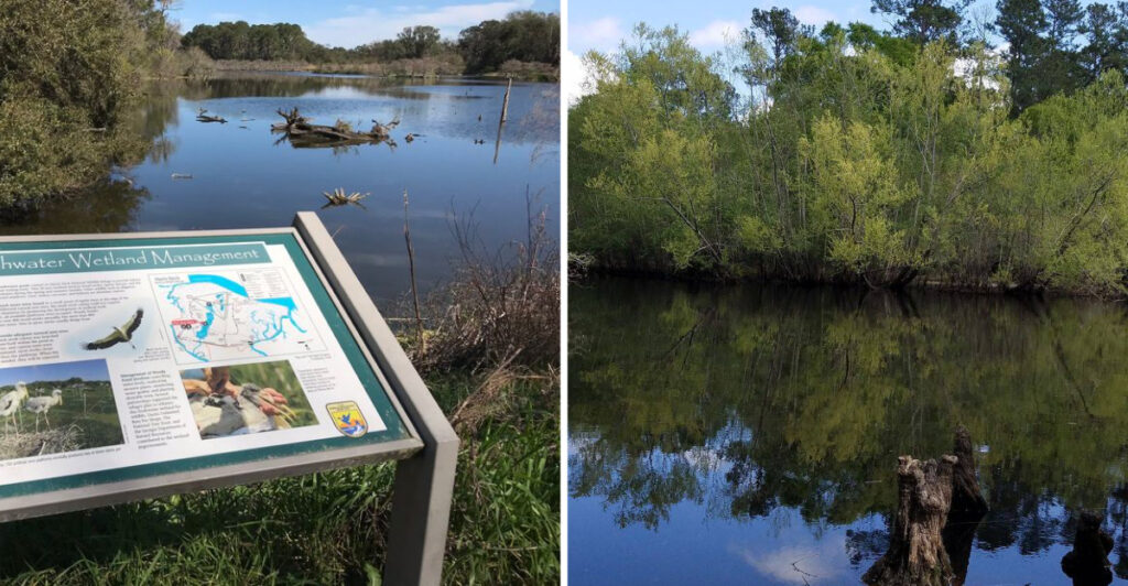
Georgia gator country comes with one simple rule: look twice before calling that log a log.
These prehistoric-looking locals are most common across the southern half of the state. In the right habitat, spotting one can be part of the outdoor experience rather than a reason to panic.
Alligators still deserve space and common sense. Keep pets close, watch children near shorelines, and enjoy the view from a comfortable distance.
Feeding is also off the table. It can teach alligators to associate people with food.
A zoom lens beats a closer look every time.
Regions here put you near some of Georgia’s best-known gator territory, with plenty more to see once the water settles.
1. Okefenokee Swamp
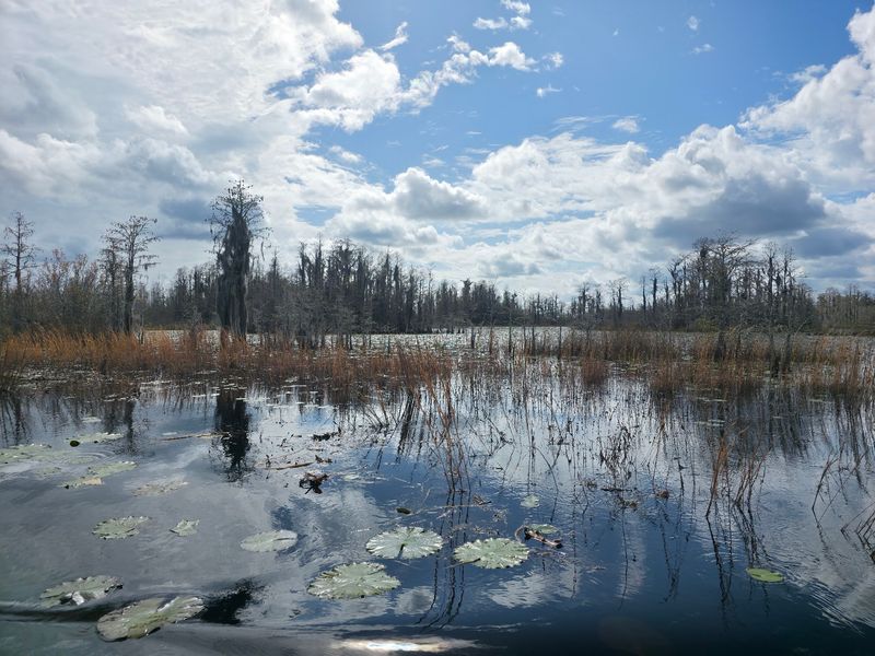
Tea-colored water, cypress trees, floating vegetation, and narrow boat trails make Okefenokee Swamp one of Georgia’s most recognizable wild landscapes.
The U.S. Fish and Wildlife Service estimates that approximately 15,000 American alligators live in the swamp. At Okefenokee National Wildlife Refuge, the species is considered one of the signature animals of this enormous wetland system.
That gives you a real possibility of noticing one while traveling the waterways. An alligator may be resting near the bank, partly visible among vegetation, or moving through the dark water as your boat continues along an established trail.
There is plenty more competing for your binoculars. Sandhill cranes, wood storks, swallow-tailed kites, turtles, and numerous other animals live within the refuge.
Boating is one of the main ways to experience the Okefenokee, with marked canoe and motorboat routes leading through sections of the swamp. Visitors should stay on permitted routes and follow current refuge rules.
Swimming is prohibited in refuge waters.
If you see an alligator, leave plenty of distance between you and the animal. Remaining in your boat and continuing along the designated route keeps the encounter simple.
Never feed wildlife or toss food into the water. A camera zoom can handle the close-up work without changing anyone’s position.
How often do you get to explore a landscape where an estimated 15,000 alligators are simply part of the neighborhood?
2. Lake Seminole
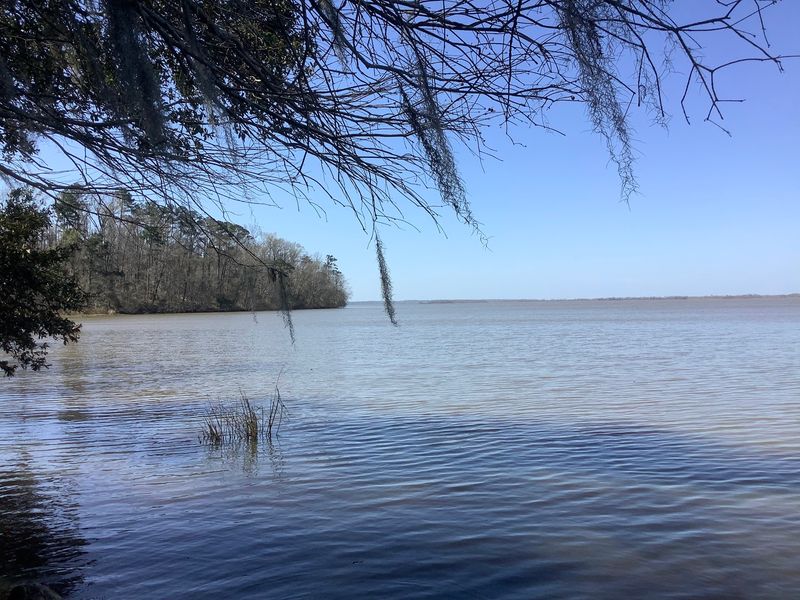
Wide water gives way to coves, wooded banks, marshy edges, and quiet corners across Lake Seminole in southwest Georgia.
The reservoir covers approximately 37,500 acres, while Seminole State Park occupies 1,478 acres along its shoreline. The park specifically lists alligators among the wildlife observant visitors may see, along with osprey and bald eagles.
Three boat ramps, a fishing dock, a sand beach, paddling, hiking, camping, and boating put visitors close to the lake in several different ways.
That also makes normal shoreline awareness useful.
Before standing close to thick vegetation or settling beside a quiet section of water, take a look around. When paddling or boating, let any alligator you notice keep the space around it.
Pets should remain leashed and away from the water’s edge. Georgia DNR also advises visitors not to throw fish remains or bait into the water because scraps can unintentionally feed alligators.
The lake sits in Decatur and Seminole counties, both included in Georgia’s Zone 2 alligator-management area.
That management designation does not promise a sighting. It simply places Lake Seminole within the established range where the state actively manages the species.
Bring binoculars and let the shoreline come to you visually rather than physically.
Consider it a scale-back approach to wildlife watching: the reptile keeps its room, and you still get the view.
3. Lake Walter F. George
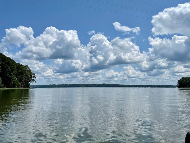
Lake Walter F. George stretches along the Georgia-Alabama border and carries one of the most distinctive alligator-management designations in the state.
Georgia DNR separates part of the reservoir into Zone 1A. On the Georgia side, that zone covers waters north of the dam, west of Highway 39, and south of the Highway 39 bridge near Omaha.
The state’s regulated alligator-hunting rules are different here as well. Legal harvested alligators in Zones 1 through 9 must measure at least 48 inches, while Zone 1A uses a minimum length of 96 inches.
For everyday visitors, the practical information is much simpler than the regulation.
Alligators inhabit the reservoir, so boat launches, vegetated coves, quiet banks, and fishing areas deserve the same awareness you would use around other southern Georgia waterways.
Do not approach an alligator to estimate its size. If one is visible near a bank or launch area, choose another spot and give it room.
Fishing can create another accidental source of food. Dispose of fish scraps properly rather than throwing them near the shoreline.
The reservoir also offers boating, fishing, camping areas, and long stretches of open water around Fort Gaines and other access points.
Wildlife watching can easily become one part of a broader lake day rather than the entire reason for going.
Would you notice the eyes at the waterline before the rest of the shape came into view?
4. Flint River And Albany Area
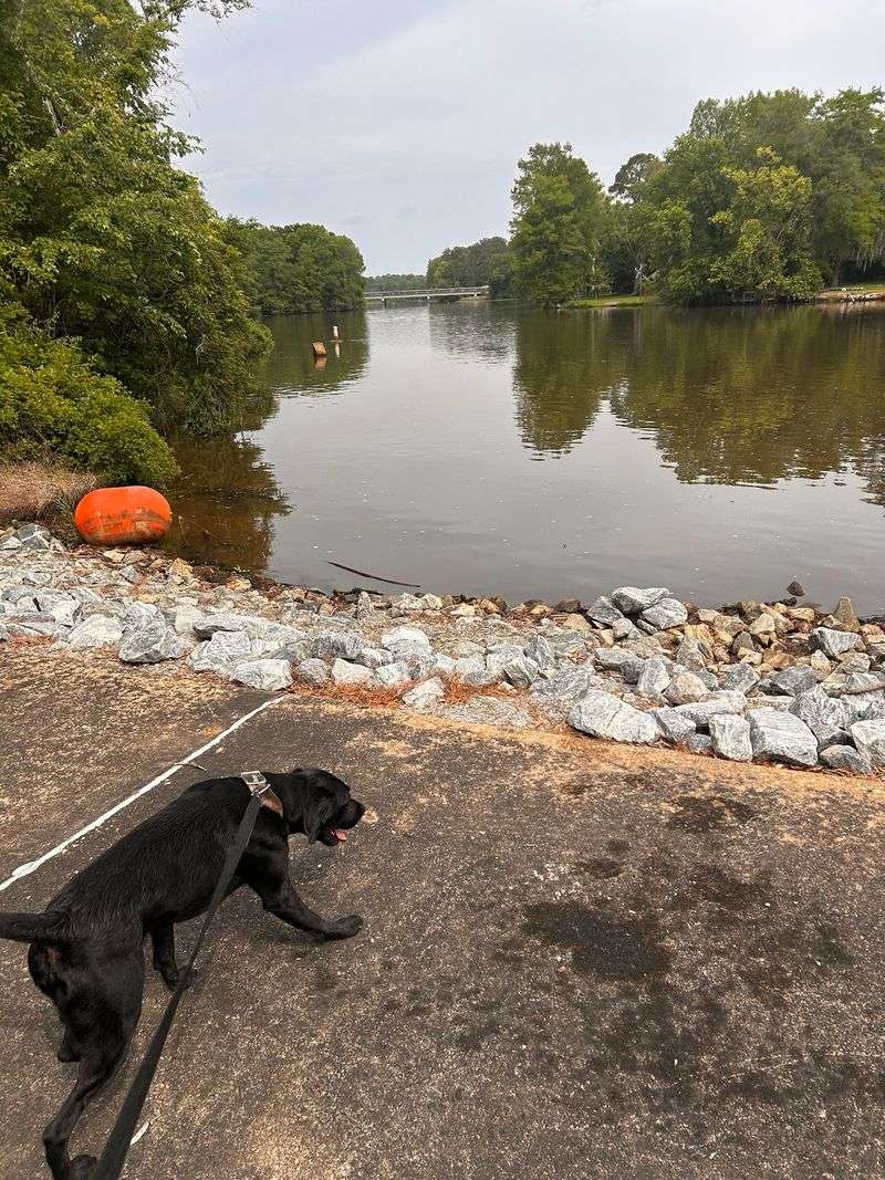
The Flint River winds through central and southwest Georgia before eventually joining the Chattahoochee River near the Florida line.
Around Albany, it passes through Dougherty and Lee counties, both included in Georgia’s Zone 3 alligator-management area.
Farther upstream, Flint River Wildlife Management Area protects 2,300 acres along the river’s east bank in Dooly County. Wildlife viewing, river fishing, primitive camping, and other outdoor activities are available on the property.
The Flint changes character repeatedly along its course. Forested banks, slower side water, wetlands, and quieter margins sit alongside longer stretches of moving river.
Those calm areas are good places to remember Georgia’s GatorWise basics.
Look before approaching a shoreline. If an alligator is visible, leave it alone and choose another place to fish, rest, or launch.
Paddlers can remain in their boats and continue along the river without steering toward an animal. Anglers should keep fish scraps and bait waste out of the water.
Children should remain supervised around the shoreline, and pets should stay leashed and back from the edge.
There is no need to treat every log or ripple as an alligator. Awareness is enough.
The Flint also offers birdlife, fishing, forest scenery, and long stretches where the river itself is the attraction.
Give anything you spot some elbow room and keep enjoying the waterway around it.
5. Ocmulgee River Corridor
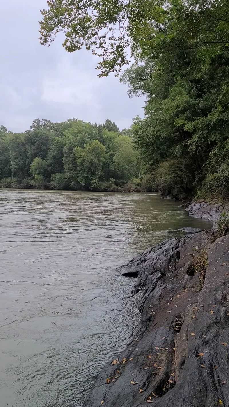
The Ocmulgee River moves south through Georgia before joining the Oconee to form the Altamaha, carrying you through broad stretches of coastal-plain habitat along the way.
Several counties along the river lie within Georgia’s Zone 5 alligator-management area, including Bibb, Bleckley, Pulaski, Twiggs, Telfair, and Wheeler.
Near Hawkinsville, Ocmulgee Wildlife Management Area covers approximately 15,000 acres in Bleckley, Pulaski, and Twiggs counties.
The property offers canoe access, nature trails, wildlife viewing, river fishing, and other outdoor recreation.
Ocmulgee Public Fishing Area provides another nearby option. Its 106-acre lake is open for bank and boat fishing, and Georgia DNR lists limited alligator hunting among the property’s managed activities.
When you are near either the river or lake, take a moment to look across the water before choosing where to stand.
Alligators can remain difficult to notice when much of the body is below the surface. Binoculars are useful when something farther out catches your attention.
If curiosity starts pulling you toward the shoreline for a better look, scale it back. The view is better when the wildlife gets to stay undisturbed.
Never feed an alligator, intentionally or accidentally, and keep pets away from the water’s edge.
The Ocmulgee corridor gives you forest, wetlands, fishing, paddling, and wildlife within the same broad landscape. So, one reptile never has to carry the whole outing.
6. Satilla River And Waycross Area
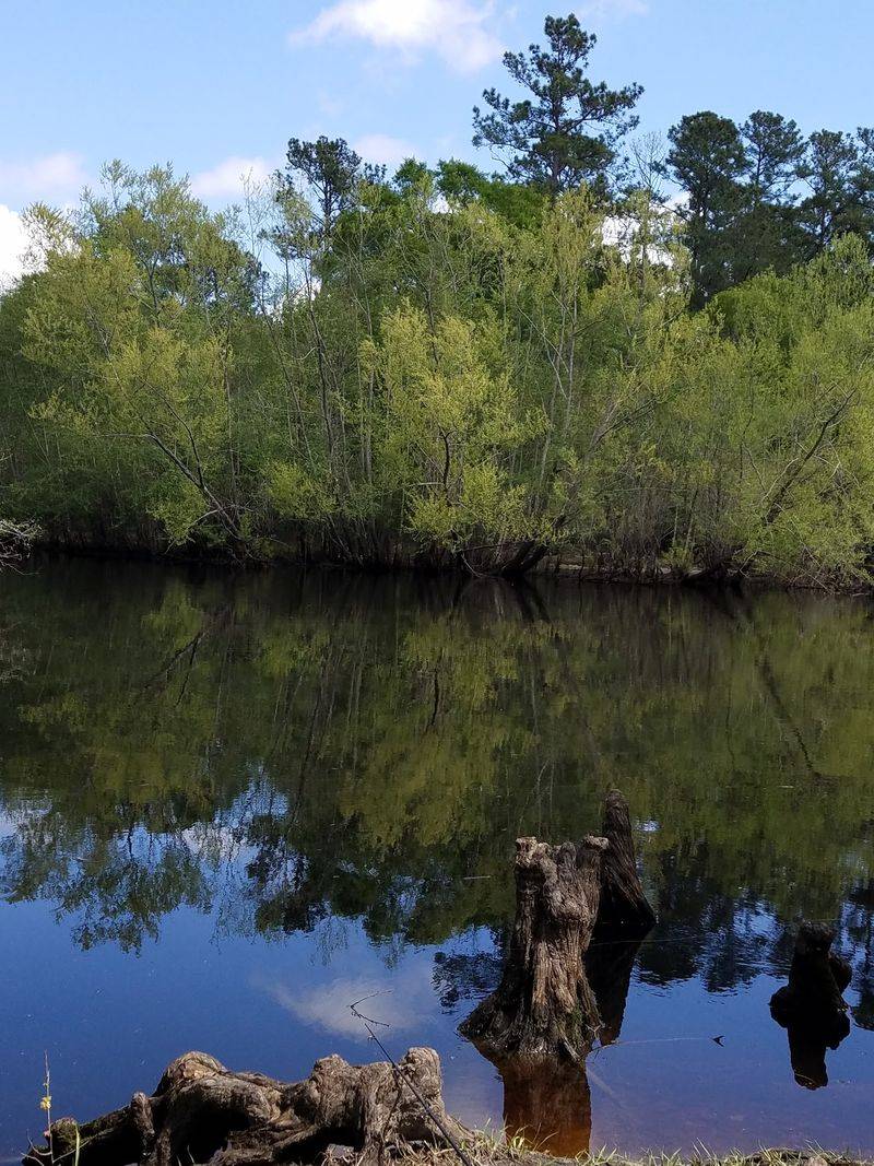
Dark, tannin-stained water gives the Satilla River an identity you can recognize almost immediately.
Georgia DNR describes the Satilla as a blackwater system draining more than 3,000 square miles of coastal-plain habitat.
The river is particularly well known for redbreast sunfish, but its surrounding wetlands and warm southeastern Georgia setting also place it comfortably within alligator country.
Ware, Pierce, and Brantley counties along the Satilla corridor are included in Georgia’s Zone 6 alligator-management area.
Around Waycross and farther downstream, paddlers and anglers can encounter long sections of wooded shoreline, fallen timber, side channels, and dark reflections.
Those reflections can make wildlife less obvious at first glance.
Give yourself time to study the bank before moving close to vegetation. If something turns out to be an alligator rather than a log, simply maintain your distance and continue along your route.
Canoe and kayak users should avoid steering closer for photographs. From shore, established access points provide a better place to enjoy the river than pushing into thick waterside vegetation.
Food and fish remains should stay out of the river.
The Satilla offers enough character without requiring a close wildlife encounter. Its blackwater scenery, fishing history, forests, and quiet paddling routes can easily fill the day.
If an alligator joins the view, let it remain exactly where it is while you keep moving downriver.
7. Altamaha River And Darien Area
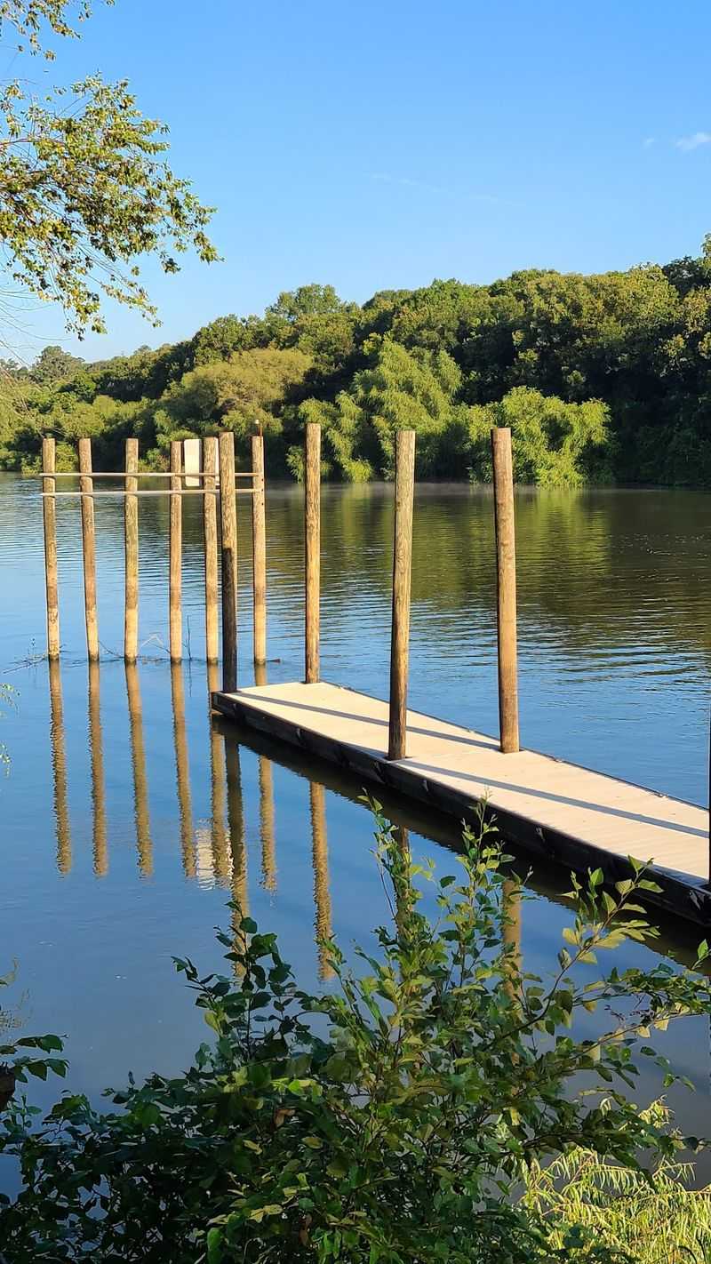
Georgia’s largest river begins where the Ocmulgee and Oconee meet and travels approximately 137 miles toward the Atlantic Ocean.
By the time the Altamaha approaches Darien, the landscape has expanded into bottomland hardwood forest, cypress-tupelo swamp, managed wetlands, tidal waterways, and coastal marshes.
Altamaha Wildlife Management Area gives visitors direct access to part of that environment.
Its waterfowl-management section includes 3,154 acres of managed impoundments, while the larger property contains roughly 27,000 acres of bottomland hardwood and cypress-tupelo swamp.
Boating, canoeing, hiking, camping, fishing, nature trails, and wildlife viewing are all available.
Counties along the lower river, including Appling, Glynn, Long, McIntosh, and Wayne, fall within Georgia’s Zone 7 alligator-management area.
American alligators favor freshwater but can tolerate brackish conditions, allowing them to use a range of habitats around the lower river.
You can keep wildlife watching straightforward here.
Observe from boats, trails, docks, roads, or established recreation areas. Give alligators plenty of room and keep pets away from shorelines.
Do not use food, bait, or fish scraps to draw wildlife toward you.
The Altamaha is big enough to keep your attention moving. Cypress trees, birds, marshes, open water, and miles of river scenery all compete for the next look.
8. Savannah National Wildlife Refuge
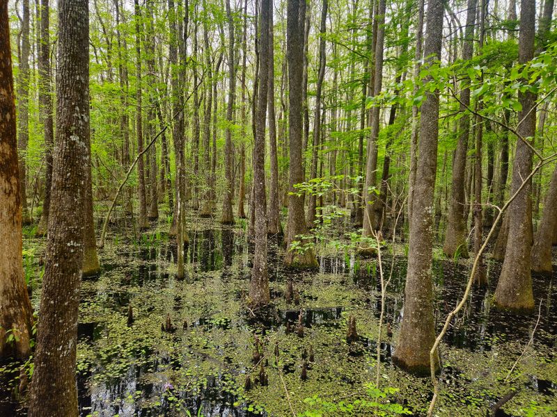
Savannah National Wildlife Refuge offers a particularly convenient option for visitors who prefer to do much of their wildlife watching from a vehicle.
The refuge’s Laurel Hill Wildlife Drive runs approximately 4.5 miles through freshwater impoundments and marsh habitat near the Savannah River.
U.S. Fish and Wildlife Service information identifies the American alligator as a prominent refuge species and notes that upward of 25 individuals have been reported during a single visit.
Your own count may be completely different. Wildlife moves on its own schedule.
The drive and refuge trails are generally open daily from sunrise to sunset unless otherwise posted.
Move slowly along the designated route and watch the edges of impoundments, canals, and open water. Binoculars or a telephoto lens make distant viewing easy without leaving the established observation area.
Pets are not permitted on refuge trails and must remain confined inside vehicles while traveling the wildlife drive.
Feeding, capturing, or harassing wildlife is prohibited.
Alligators share these wetlands with wading birds, migratory birds, and numerous other species, so keep your attention moving above the waterline too.
The road does much of the positioning for you. There is no reason to improvise a closer route when the refuge already provides one designed for wildlife viewing.
That is a pretty snappy arrangement: you stay comfortable, the alligators keep their space, and the wetlands provide the scenery.
9. Harris Neck And The McIntosh County Coast
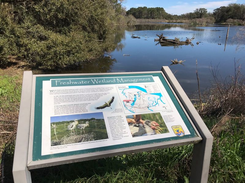
Harris Neck National Wildlife Refuge gives alligators six freshwater ponds to share with one of coastal Georgia’s busiest bird communities.
The refuge also contains forested wetlands, open fields, and mixed hardwood and pine forest.
Spring can make alligators particularly noticeable. The U.S. Fish and Wildlife Service says alligators and turtles are easy to spot basking in the sun during that season.
During summer, alligators can also be seen moving through the water around the ponds.
Woody Pond is especially well known for its nesting wood storks, adding herons, egrets, ibis, and other birds to the wildlife-watching mix.
A wildlife drive carries visitors through the refuge. Automobiles must stay on the designated drive, while hikers and bicyclists are encouraged to use marked trails.
Harris Neck is open during daylight hours, and some areas may close seasonally for wildlife protection.
Pets are not permitted unless confined inside a vehicle. Feeding, capturing, or harassing wildlife is prohibited.
McIntosh County lies within Georgia’s Zone 7 alligator-management area, extending the suitable habitat well beyond the boundaries of this individual refuge.
Bring binoculars and let the ponds provide the viewing distance.
An alligator resting across the water does not need a closer audience. Between the reptiles and the birds overhead, you will have plenty to watch from where you are.
10. Cumberland Island And Camden County
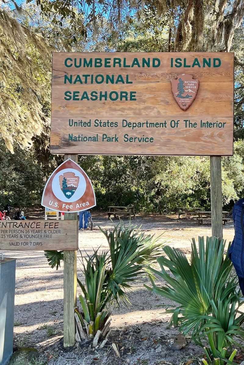
Reaching Cumberland Island already requires a change of pace because there is no road connecting it to the mainland.
Cumberland Island National Seashore is accessible only by passenger ferry or private boat. The concession-operated ferry leaves from St. Marys, and reservations are strongly recommended because capacity is limited.
Once you arrive, the island opens into maritime forest, freshwater wetlands, salt marsh, dunes, historic areas, and more than 18 miles of undeveloped beach.
American alligators live within that mixture of habitats.
The National Park Service notes that alligators prefer freshwater but can tolerate brackish water. They may be found in swampy areas and salt marshes and have occasionally been seen near the Atlantic shoreline.
A pond behind Plum Orchard Mansion is one documented location where an alligator has been photographed resting.
Camden County also falls within Georgia’s Zone 6 alligator-management area.
Keep your distance from any alligator you encounter and never feed it. The same hands-off approach applies to the island’s other wildlife.
Cumberland gives you wild horses, birds, maritime forest, historic sites, marshes, trails, and miles of shoreline before an alligator ever enters the picture.
If one does appear, admire it from a comfortable distance, and keep exploring. When it is time to catch the ferry home, there is only one appropriate farewell: see you later, alligator!