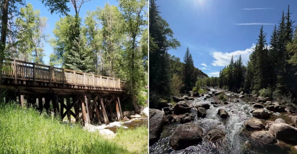
The 42-mile Rio Grande Trail follows an old railroad corridor, with mostly paved surfaces, a short compacted-gravel section, and a grade that never exceeds 3 percent. That means a mountain ride in Colorado that mostly feels like coasting.
The route links a famous ski town to a hot springs town. Along the way, it traces a clear trout river through ranch land, sagebrush, and pine forest.
Bald eagles, osprey, and great blue herons work the water for fish. Elk sometimes graze in nearby meadows, which beats any traffic jam I can think of.
I like how the trail welcomes walkers, cyclists, wheelchair users, and even horseback riders. I believe that kind of open invitation is rare in high country this rugged.
So how far would you pedal before stopping for a snack in a small mountain town?
An Old Railroad Gave This Path Its Easy Personality
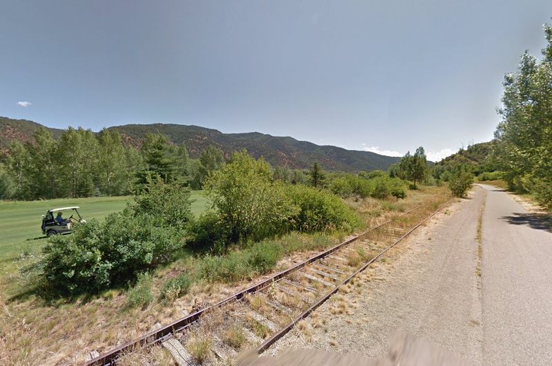
Trains once rolled where your bike tires will roll. The Rio Grande Trail sits on the Aspen Branch of the old Denver and Rio Grande Western Railroad.
That railroad was founded in 1870 and eventually linked Colorado, New Mexico, and Utah. Service to Aspen began in 1887, back when mining was the big story in these mountains.
Train operations faded in phases from the 1960s through the mid-1990s. Plenty of old rail lines simply vanish after that, but this one got a second life.
In 1997, a coalition of public agencies purchased the railroad corridor between Glenwood Springs and Woody Creek; Pitkin County had already acquired the upper section toward Aspen in 1969. The full trail officially opened in 2008, turning steel rails into a ribbon of pavement.
The railroad left behind a handy gift. Trains hate steep hills, so engineers built the line with a slow, steady climb.
That old engineering choice is exactly why your legs will thank you today. Keep the history in mind as you ride, because every gentle curve has a reason behind it.
It also makes a fun trivia fact for the group. Few people expect a lazy bike path to have such a busy past.
Start High In Aspen And Let Gravity Do Some Work
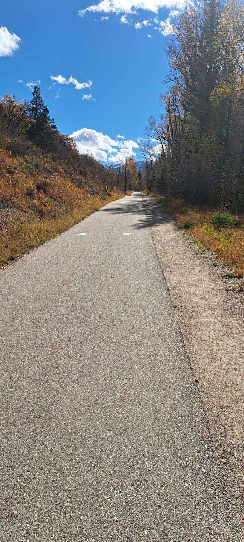
Aspen sits at 7,889 feet, the highest point on the whole route. Starting there gives you a mostly downhill cruise toward Glenwood Springs.
The grade never goes above 3 percent and often hangs around 2 percent. In plain terms, that’s barely enough tilt to notice on a bike.
The old railroad motto was “Through the Rockies, Not Around Them.” Riders on this path get to enjoy that promise without hauling coal or passengers.
Families with younger riders often like this direction for good reason. Tired legs hold up better when the road keeps leaning your way.
Still, 42 miles is a long day, even with help from gravity. Pack water, snacks, and sunscreen, because the mountain sun can be strong at this elevation.
Near Aspen, about two miles of the path use compacted gravel instead of pavement. It’s well kept, but skinny road tires may feel a little wobbly there.
Wider tires or a hybrid bike handle that stretch with less fuss. After that, smooth asphalt and concrete carry you the rest of the way down valley.
The River Rides Shotgun For Nearly The Whole Trip
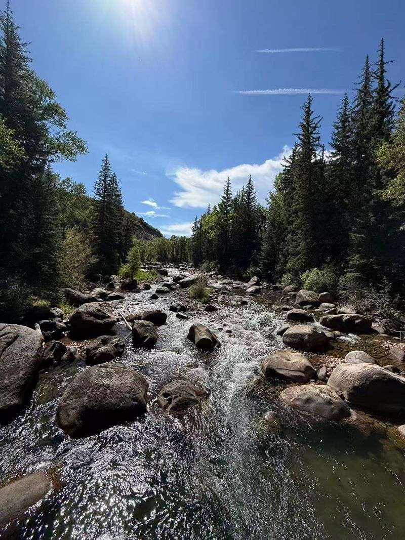
Clear water, quick riffles, and fly lines arcing over trout pools. The Roaring Fork River stays close to the Rio Grande Trail for nearly its entire length.
That river is a big part of why this ride feels so peaceful. You get moving water for company instead of honking cars.
Anglers love the Roaring Fork for its trout, and so do the birds. Bald eagles, osprey, and great blue herons are often spotted hunting along the banks.
Bring a small pair of binoculars if you have room in your pack. A quick stop at a bench can turn into a surprise bird show.
Please give wildlife plenty of space, even when the photo looks tempting. A zoom lens works better than creeping closer and spooking a heron mid-meal.
The river also helps you track your progress without a map. It flows downstream toward Glenwood Springs, the same way most relaxed riders travel.
On a hot day, the sound of the water feels like free air conditioning. Honestly, that’s hard to beat for a mountain bike path.
Ranch Country Views Will Slow Your Pace On Purpose
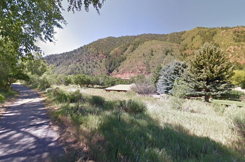
Green pastures framed by jagged peaks make a strong case for riding slowly. Much of this Colorado path rolls through wide-open ranch land.
The scenery changes more than you might expect over 42 miles. Windswept sagebrush and scrub oak give way to forests of ponderosa pine and spruce.
That mix keeps the ride from feeling repetitive. Just when you get used to open meadows, the trees close in and the air smells piney.
Elk sometimes graze in meadows near the route, especially in quieter areas. Keep your distance and enjoy them like a nature documentary with better seating.
Ranch land is working land, so respect fences and private property along the way. Stay on the pavement and leave gates exactly as you find them.
Morning and evening light make these views especially dramatic for photos. The mountains glow, and the fields look painted.
Benches and picnic tables appear along the trail for well-timed breaks. Use them to soak in the big sky, because rushing through this part feels like skipping the best chapter.
Five Small Towns Make Snack Breaks Easy
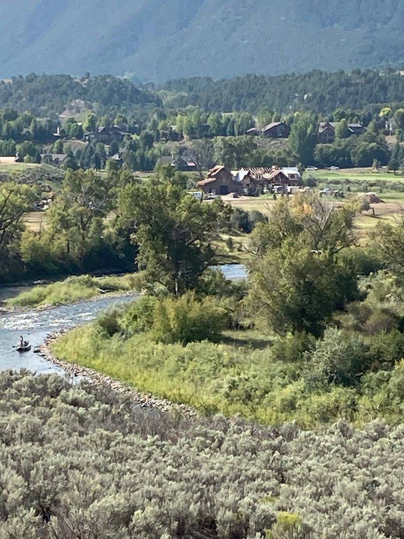
Basalt, Carbondale, El Jebel, Aspen, and Glenwood Springs all connect along this route. That’s a lot of chances to grab lunch without leaving the trail for long.
Each town works like a pit stop on a long road trip. You can hop off, stretch your legs, and browse local shops before rolling on.
Carbondale makes a handy midway break for many riders. Basalt sits at the meeting point of the Roaring Fork and Fryingpan rivers, which adds extra scenery.
Breaking the trail into town-to-town chunks also helps with planning. A short ride between two towns can make a full, happy afternoon.
Families with kids might pick just one segment and save the rest for another day. There’s no prize for finishing all 42 miles at once.
Access points sit within these communities, so starting or ending in town is simple. Some spots also have RFTA bus stops nearby.
That bus link matters more than you might think. It means you can ride one way and skip the long pedal back.
A Bike Bus Solves The One-Way Problem
Here’s a riddle every point-to-point rider faces. How do you get back to your car after 42 miles?
The Roaring Fork Transportation Authority, called RFTA, has a clever answer. RFTA allows bicycles on designated regional bus routes during its bike-loading season, with space available on a first-come, first-served basis.
That service makes shuttling between trailheads much easier. You can ride down valley, then let the bus handle the return trip.
RFTA also manages most of the Rio Grande Trail itself. That means the same group keeping the path in shape is helping riders move around the valley.
Bike Bus service is seasonal, so check the schedule before you plan your day. Arriving to find no bus would be a long way to learn a lesson.
Class 1 e-bikes are allowed on the trail too. That little motor boost can make a longer outing friendlier for riders who want extra help.
Mix and match these options to fit your group. A bus ride, a gentle grade, and an e-bike can turn a big trip into an easy adventure.
Know Where The Water And Restrooms Are Before You Roll
Nothing ruins a ride faster than an empty water bottle. On the Rio Grande Trail, potable water is available at the Basalt Trailhead near Basalt High School.
That’s a key detail, so mark it on your mental map. Fill up there, and carry plenty more than you think you’ll need.
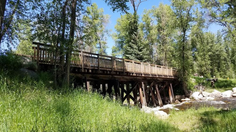
Vault toilets sit near Cattle Creek and near the Catherine Store Bridge. Knowing those spots ahead of time saves a lot of nervous pedaling.
Benches and picnic tables pop up along the route for rest stops. Trash and recycling bins appear regularly, so packing out litter is easy.
Dog owners will find waste stations along the way as well. Bring a leash and waste bags, but remember that dogs are prohibited year-round on the wildlife section between Rock Bottom Ranch and Catherine Bridge.
The trail is shared by walkers, cyclists, wheelchair users, and horseback riders. A friendly bell ring or a quick call before passing keeps everyone smiling.
Horses can startle easily, so slow down and give them room. Good trail manners make this path pleasant for every kind of traveler.
Winter Turns Parts Of The Path Into Ski Territory
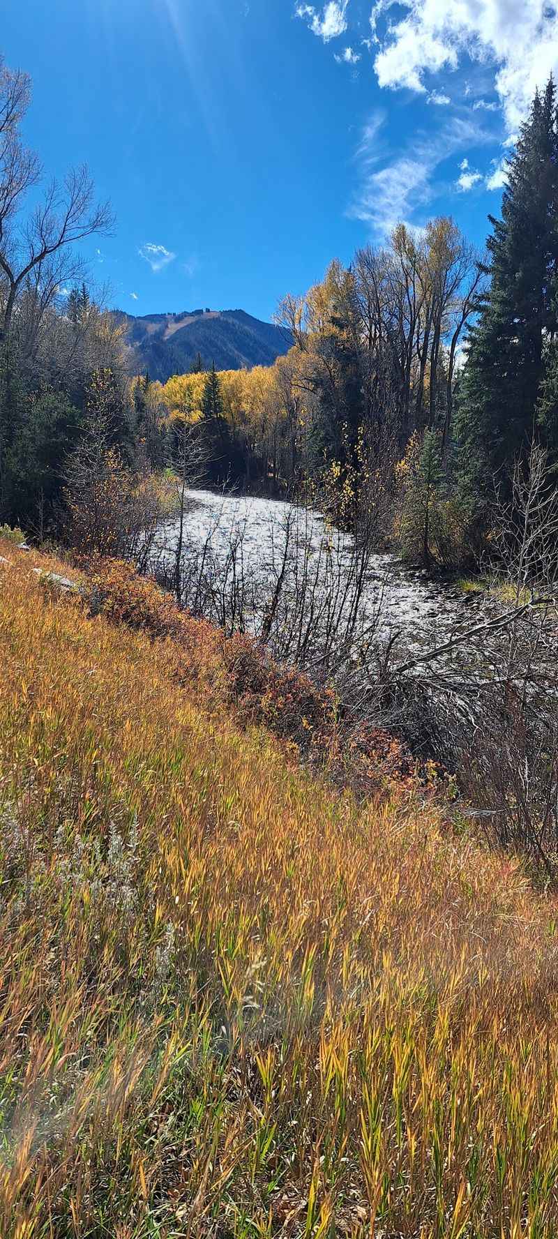
Snow doesn’t shut this trail down completely. Sections between Glenwood Springs and Carbondale get plowed after significant snowfall.
That makes winter walks and chilly bike rides possible on those stretches. Bundle up, because mountain mornings in Colorado can bite.
Other parts of the trail may be groomed for cross-country skiing. Gliding past a frozen river on skis feels like a totally different trip.
Some areas close for the season to protect wildlife. The stretch between mile markers 16.0 and 18.5 closes from November 30 to April 30.
Those closures give animals a quiet place during the hardest months. Respecting the signs helps keep this valley wild and healthy.
Plan around that gap if you visit in winter. Short, local outings often work better than long rides when the days are cold and dark early.
Spring and fall bring their own charms too. Changing leaves and fresh green growth make shoulder seasons worth considering for anyone who dislikes summer heat.
Finish In Glenwood Springs And Plan Your Next Ride
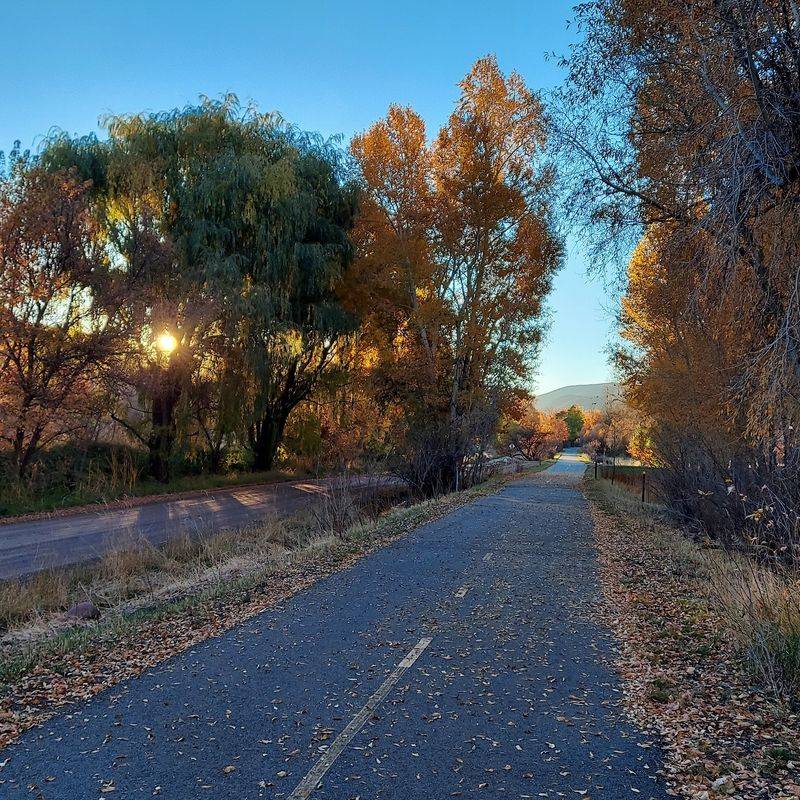
All that downhill rolling ends at the trail’s lowest town. Glenwood Springs marks the western end of the Rio Grande Trail.
It’s a great place to wrap up a long day in the saddle. The town has plenty of spots to refuel and rest tired legs.
Need help planning before you start? The Glenwood Springs Visitor Center at 802 Grand Avenue, Glenwood Springs, Colorado, offers maps and route advice.
Stopping there first can save you from guessing about access points. Parking varies by location, so a little planning goes a long way.
The trail has many entry points along its 42 miles. That flexibility means you can build a ride as short or as long as you like.
Some riders tackle the whole thing in one day. Others sample a new section every visit and slowly collect the full route.
Either way works beautifully. With river views, ranch land, and friendly towns, the hardest part may be deciding which stretch to ride first.