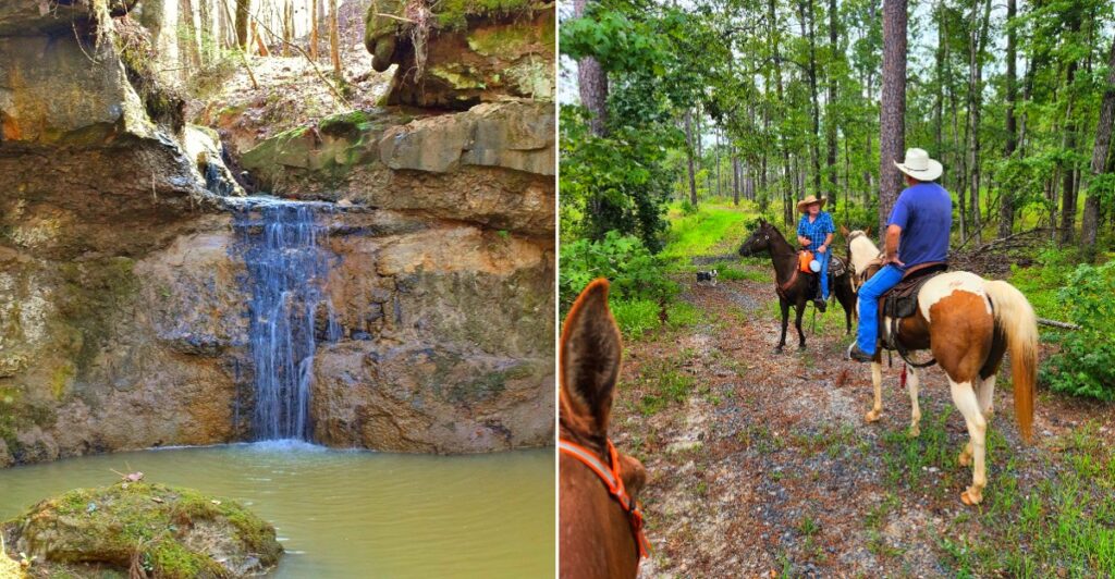
How do you hike to a trail that Google Maps doesn’t even bother to label? One of these Louisiana paths is so low-key that you navigate to a nearby campground and hope for the best.
The range here surprised me. You’ll find red clay canyon floors, the tallest waterfall in the state, prairie grass for horseback riders, and boardwalks along a river right inside a city.
I love that a state famous for swamps keeps quietly showing off hills and ridges. Honestly, it feels like Louisiana has been hiding its hiking boots under the porch.
Some of these trails ask for a permit. One welcomes wagons. Another sits a short drive from a busy highway in the capital city. The funny part is that the hardest step might be explaining to your friends where you went.
Tims Canyon Trail
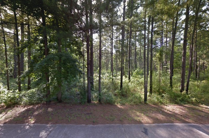
Red clay canyons in Louisiana sound like a typo, yet here they are. Tims Canyon Trail sits in Kisatchie National Forest near Forest Hill, just outside Alexandria.
The trail runs about 2.4 to 2.5 miles out and back. Elevation gain stays minimal, so the effort lands in the easy to moderate range.
What makes it stand out is the ground under your feet. Red clay and sandy canyon floors give the place a look that feels far from the typical bayou postcard.
Leafy foliage and wildflowers add color along the way. Birders like it, and so do hikers and runners looking for a quiet stretch.
Quiet is the key word, too. The trail often offers real solitude, which is rare for a spot this scenic.
Now for the fun puzzle. The trail isn’t directly labeled on Google Maps, so set your GPS for the Ahtus Melder Campground instead.
To get there, head west on LA Hwy 112. Go about one mile past the Forest Road 258 turnoff, then turn south on Forest Road 267.
Take an immediate left on Forest Road 269. The camping area appears on the right.
Wear real shoes, not your favorite sneakers. After rain, that pretty clay can turn sticky and tricky fast.
Dogs can come along on a leash. Don’t expect caves, swamps, or pavement, just a winding canyon that feels like a secret you get to keep.
Address: Ahtus Melder Campground, Kisatchie National Forest, Glenmora, LA 71433
J.C. Sonny Gilbert Wildlife Management Area
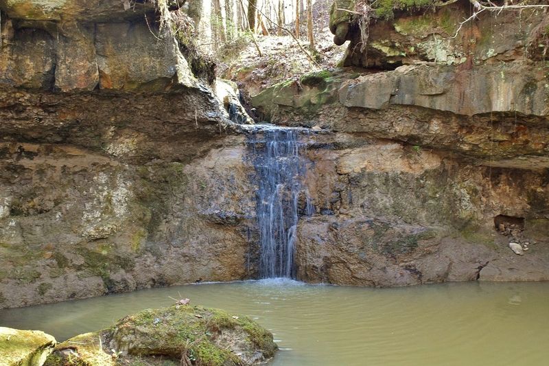
Seventeen feet might not sound dramatic until you learn it’s a state record. Rock Falls, inside this wildlife management area, is the tallest waterfall in Louisiana.
The falls drop in tiers over a rocky face into a creek. Thick hardwood forest wraps around the scene like a frame.
Getting there takes a little planning. The area sits about six miles west of Sicily Island in Catahoula Parish.
For Rock Falls Trail, use the south entrance off LA-8, about 6.9 miles west of Sicily Island. Follow the gravel road about one mile to the permit station, then 1.5 more miles to the trailhead.
That trail is short, roughly 0.7 to 1.5 miles depending on who’s measuring. Expect a moderate hike with a big payoff.
Want more of a workout? The Big Creek Hiking-Nature Trail on the north end stretches about 7 strenuous miles.
It winds through mature pine and hardwood forest with scenic points and waterfalls. Your legs will notice, and your camera roll will too.
The terrain here is surprisingly rugged. Across 7,524 acres, elevations range from 35 to 245 feet, with high ridges and creek bottoms.
Paperwork matters before you go. Fill out the self-clearing permit when entering and leaving, and carry a Louisiana hunting or fishing license or a Wild Louisiana Stamp.
Most of the area was established in 1980. It now honors J.C. Sonny Gilbert, a state legislator and conservationist.
Address: LA-8, about 6.9 miles west of Sicily Island, Catahoula Parish, LA
Gum Springs Horse Camp and Trails
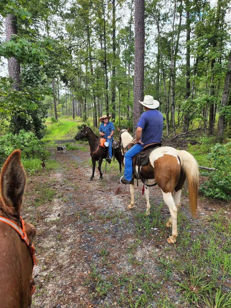
Saddle up, because these trails are wide enough for wagons. Gum Springs, in Kisatchie National Forest near Winnfield, was built with horses in mind.
Riding on the trails is free. That’s a pretty sweet deal for a full day of exploring.
Two developed equestrian trails start here. Beyond them, riders can roam many miles of open forest.
The scenery changes as you go. You’ll pass through Keiffer Prairie, with native grasses and cedar trees, then into piney woods and hardwood bottoms.
Hills keep things interesting, so the ride never feels flat or sleepy. Keep an eye out, since wildlife viewing is part of the deal.
Craving a longer outing? The Yellow Loop includes about 14.7 miles of singletrack.
The camp itself keeps things simple and practical. It offers primitive campsites, hitching posts, a corral, a vault toilet, water, and trash disposal.
Campsites are first come, first served. Big groups of 75 or more need a special use permit, so plan ahead if you’re bringing the whole riding club.
Even if you don’t own a horse, it’s fun to know this place exists. Louisiana clearly has a cowboy side it doesn’t brag about enough.
For permits and questions, the Winn Ranger District office handles the details. Give yourself time to get organized before hitching up the trailer.
Address: Winn Ranger District Office, 12319 U.S. Highway 84 West, Winnfield, LA
Acadiana Park Nature Station
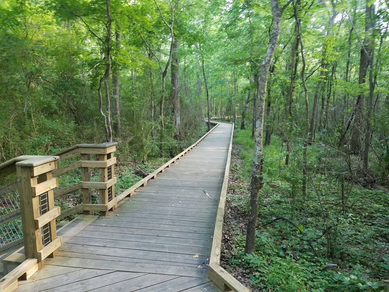
Free trails, free admission, and a river view in the middle of Lafayette? That combo deserves more attention than it gets.
Acadiana Park Nature Station sits on roughly 110 to 150 acres inside Acadiana Park. Its goal is to reconnect people with nature and protect local plants, animals, and habitats.
Trails cover several miles, with boardwalks and gravel paths. They wander through secluded woods and along the Vermilion River.
Paddlers get a bonus. Canoe and kayak launches open up the river for exploring.
Curious kids and grownups both have plenty to learn here. The station offers exhibits, educational programs, guided nature walks, and even night hikes.
Night hikes in the woods sound like a great way to meet the neighbors with more legs than you. The programs focus on the natural history of the Acadiana region.
History buffs, here’s a fun bit. Environmental education began here in 1974 as part of the Lafayette Natural History Museum, and the building went up in 1978.
The facility is wheelchair accessible. A small campground also sits near a bayou and the river.
Trails open daily from dawn until dusk. The building keeps weekday hours of 8 to 5 and weekend hours of 11 to 5.
Need extra activity? The larger park has a 36-hole disc golf course, ball fields, tennis courts, and outdoor fitness equipment.
Address: 1205 East Alexander Street, Lafayette, LA 70501
Bayou Manchac Hiking Trail
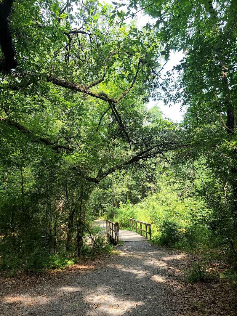
Baton Rouge traffic is famous, but a quiet bayou trail waits right off Jefferson Highway. Bayou Manchac Park is part of the BREC system, and it got a refresh finished in spring 2023.
Those upgrades added a lot. You’ll find a new playground, walking loop, benches, picnic tables, a water fountain, and renovated parking.
The nature trail improved too. The Oak-Hickory Forest Loop runs about a mile through hardwood forest and wetland sections.
Short on time? The 0.2-mile Bayou Manchac Nature Trail winds through a small stream forest and connects to the bigger loop.
Signs along the way share facts about local wildlife. It’s like a field trip without the permission slip.
Scenic overlooks give you views of the bayou. Birdwatchers might spot wading birds and the shy skulkers that like to stay hidden.
Bring a paddle if you have one. The new canoe and kayak launch connects to Bayou Manchac, Ward Creek, Bayou Fountain, and the Amite River.
Prefer staying on dry land? A fishing pier gives you a spot to cast a line and relax.
Dogs are welcome on a leash. The park opens daily from sunrise to sunset.
For a Louisiana city escape, this one asks very little. A short drive, a short walk, and suddenly the highway noise feels miles away.
Address: 19010 Jefferson Hwy, Baton Rouge, LA 70817