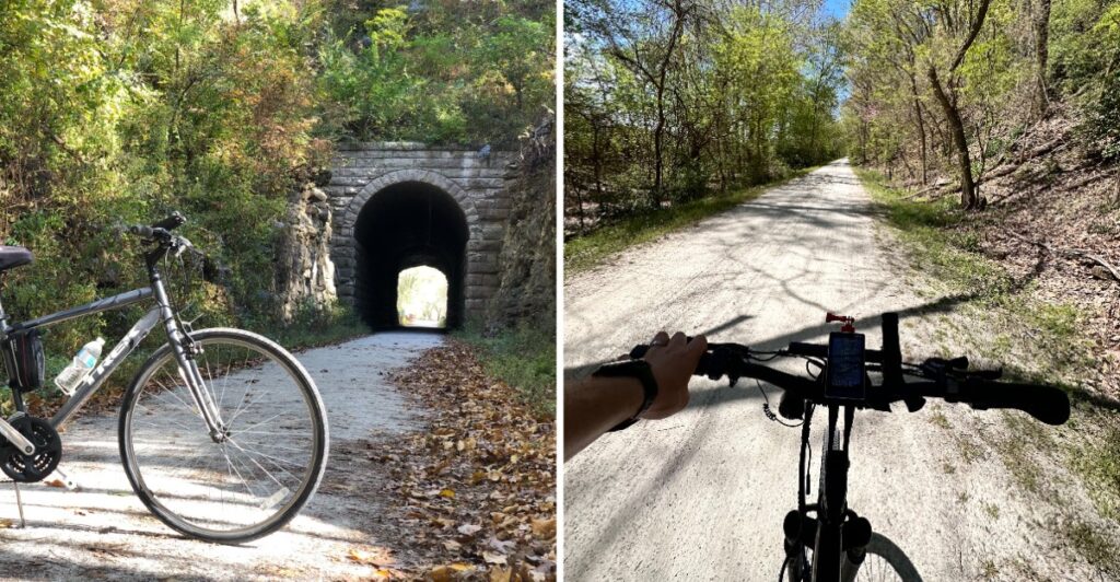
A railroad retired, and bicycles moved in.
Now the old rail corridor stretches for roughly 240 miles, trading locomotives for riders, walkers, river views, and small towns that make surprisingly convincing reasons to stop.
You do not have to tackle the whole thing.
Ride for an hour. Walk a short section. Or pack for several days and keep following the trail as one town gives way to the next.
Much of the route stays relatively gentle thanks to its railroad past. Long stretches also run close to the river.
That makes choosing a section almost harder than riding it.
Check trail conditions before heading out, especially after heavy rain or flooding.
Then pick your distance.
Missouri used to hear train whistles here.
Now it is mostly bike bells and people saying, “Okay, maybe five more miles.”
Roughly 240 Miles Of Trail Across Missouri
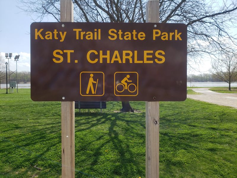
Katy Trail State Park stretches about 240 miles across Missouri, connecting Clinton in the west with Machens in the east. That distance makes it the longest developed rail-trail in the country.
The route crosses farmland, wooded sections, river bottoms, bluffs, and communities that once depended on the railroad.
You do not need to ride the entire trail to understand its scale. A short section can give you a good sense of the surface, grade, and surroundings before you decide whether to go farther.
The former railroad grade keeps many stretches relatively gentle compared with nearby roads. That does not make every mile identical. Road crossings, trail approaches, local slopes, weather, and surface conditions can still change how a ride feels.
For a first outing, pick a distance that leaves room to turn around comfortably. An out-and-back route makes planning simple because the halfway point is easy to define.
Longer trips take more preparation. Food, lodging, water, repairs, and overnight stops vary from town to town, so check services before relying on a particular stop. Build enough margin into the day for weather, trail closures, and unexpected maintenance needs.
Riding The Former Missouri-Kansas-Texas Railroad
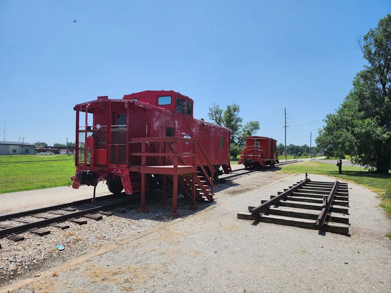
The trail follows the corridor of the former Missouri-Kansas-Texas Railroad. The railroad was commonly shortened to MKT, and the nickname Katy came from the way those initials were spoken.
Rail service ended on the corridor in 1986, and the abandoned route later became the backbone of Katy Trail State Park.
That history still appears along the trail. Former depots, bridge structures, old mileage references, and other railroad features remain part of the route through several communities.
The steady curves and gradual grades also reflect the needs of trains that once used the corridor.
In St. Charles, the trail passes close to the historic riverfront, making it easy to pair a short ride with time around the older part of town. Farther west, other communities preserve depots and railroad-era buildings near the trail.
If railroad history interests you, slow down around former station areas instead of treating every town as a quick water stop. A short pause can make the connection between the trail and the old rail line much easier to see.
The path has changed purpose, but the corridor still carries the shape of its railroad past from town to town.
Long Sections Follow The Missouri River
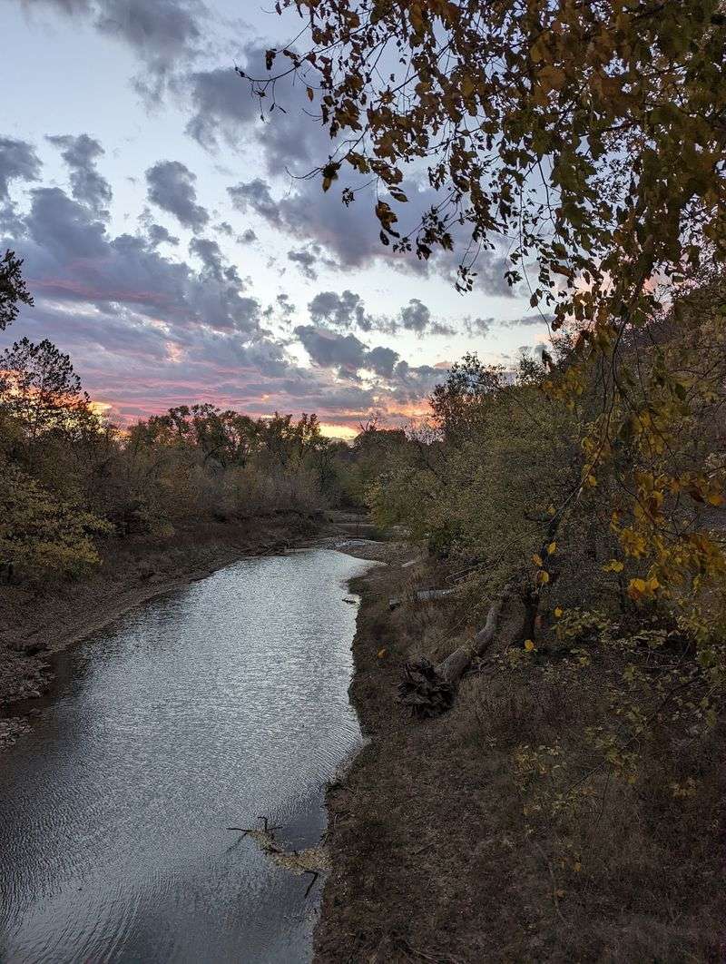
From Boonville eastward, much of the Katy Trail closely follows the Missouri River. That stretch brings the route beside river bottoms, farm fields, wooded areas, and long views across the water.
The river can also affect trip planning. Water levels change through the year, and heavy rain can lead to closures, washouts, fallen rock, downed trees, or water over low sections of trail.
Check current trail advisories before leaving home, especially after storms or periods of high water. A section that was open earlier in the week may not stay that way after changing river conditions.
Shade varies too. Some sections run beneath trees or beside bluffs, while others are more exposed. Sunscreen, water, and a hat are useful when the forecast calls for heat.
Wildlife changes with the habitat along the river corridor. Birds are common around wetlands, wooded edges, and open water, so keep your pace flexible if you want time to stop and look.
The Missouri River is not beside every mile of the trail, but it shapes a large part of the eastern route. If riverside riding is your priority, focus on sections east of Boonville when planning the day.
Bluffs Rise Beside Long River Sections
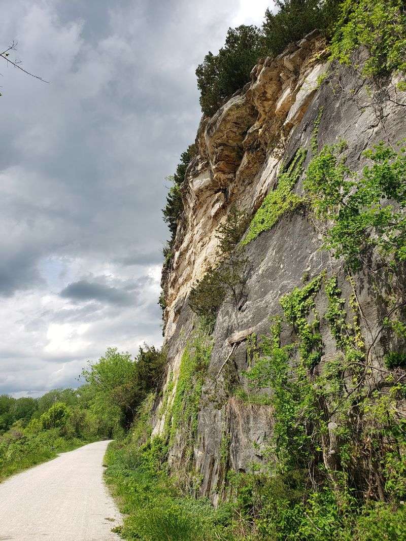
Rock bluffs are one of the most noticeable landscape features along parts of the river corridor. In some areas, the trail runs between the Missouri River and steep walls of exposed rock.
The geology changes along the route, with limestone in some stretches and dolomite and sandstone in others.
Vegetation grows along ledges and slopes, and the height of the bluff line can make certain stretches feel narrower than the open farmland found elsewhere on the trail.
Stay on the trail and use designated access points when stopping. Rock faces, overhangs, loose material, and steep slopes can create hazards away from the developed path.
These sections are also useful when planning around sun exposure. Bluffs and trees can create shade at certain times of day, though conditions vary with the season, time, and direction of travel.
If geology is part of what you want from the ride, look for trail sections where the river and bluffs come close together. Those stretches combine two of the corridor’s defining physical features without requiring a long-distance trip.
Trail Towns Break Up The Distance
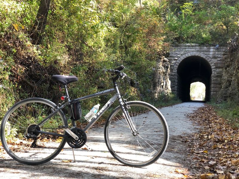
Communities along the Katy Trail make it easier to divide a long ride into smaller sections. St. Charles, Augusta, Hermann, Rocheport, Boonville, and other towns offer different combinations of food, lodging, shops, trail services, and historic sites.
Services are not identical from one stop to the next. A larger town may have several choices for meals and repairs, while a smaller community may have limited hours or seasonal businesses.
Check ahead before building a day around one cafe, lodging property, or bike shop. Business hours can change, and some services are not available every day.
St. Charles provides access to a shorter eastern-section ride near the historic riverfront and downtown area. Augusta and Hermann can fit naturally into river-country itineraries, while Rocheport and Boonville are useful stops farther west.
For a multi-day trip, choose overnight towns before choosing daily mileage. That makes it easier to work backward from lodging, food, and transportation rather than reaching the end of a long day without a practical stopping point.
For bike rental or service near the St. Charles trailhead, Bike Stop Cafe is at 701 S. Riverside Drive, St. Charles, MO 63301. That is a nearby trail-service address, not the address of Katy Trail State Park itself.
Twenty-Six Trailheads Create Flexible Options
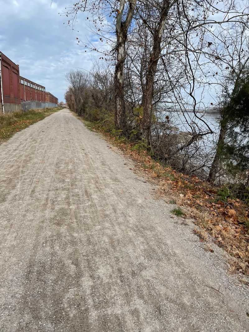
Missouri State Parks identifies 26 trailheads along Katy Trail State Park, plus additional parking areas. That gives you many ways to enter the trail without committing to a full end-to-end ride.
For a short trip, pick a trailhead near the scenery or town you want to see most. For a longer ride, use trailheads to divide the route into manageable sections and to plan transportation at either end.
Amenities vary. Some trailheads have parking, restrooms, water, maps, or nearby services, while others are more basic. Check the individual trailhead before assuming a feature will be available.
An out-and-back route is the simplest choice when you are using one car. Decide the total distance first, ride half of it, and turn around with enough time to return before dark.
Point-to-point trips require more logistics. Some riders arrange a shuttle, coordinate two vehicles, or plan overnight stops so they can continue in one direction.
The St. Charles trailhead sits at mile marker 39.5 and provides access to the eastern part of the trail. If you are starting there, check the current trail condition report before leaving and confirm any nearby services you plan to use.
Bikes, Walkers, And Limited Horseback Use
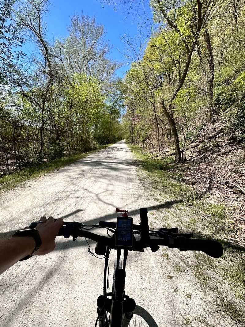
Bicycling and walking are the primary ways people use the Katy Trail. The surface is mostly crushed limestone, so tire choice can affect comfort and handling.
Hybrid, touring, and gravel bikes with wider tires are common choices for this kind of surface. A narrow road tire can still work in some conditions, but loose or wet sections may feel less predictable.
Walkers can use the same trail corridor, so passing etiquette matters. Give an audible warning before overtaking someone, slow down around busy trailheads, and move fully off the travel line before stopping.
Horseback riding is allowed only on designated sections. Current equestrian access includes the Clinton-to-State Fairgrounds section in Sedalia and the Tebbetts-to-Portland section. Check current park rules before bringing a horse because permitted segments can change.
Trail conditions also matter after rain. Crushed limestone can soften, rut, or become muddy, and flood-related damage can temporarily close sections.
Choose the section, surface, and distance that fit your day rather than trying to cover more miles than necessary. The Katy gives you enough access points to keep the plan simple, whether you are riding for an hour, walking a few miles, or linking towns over several days.