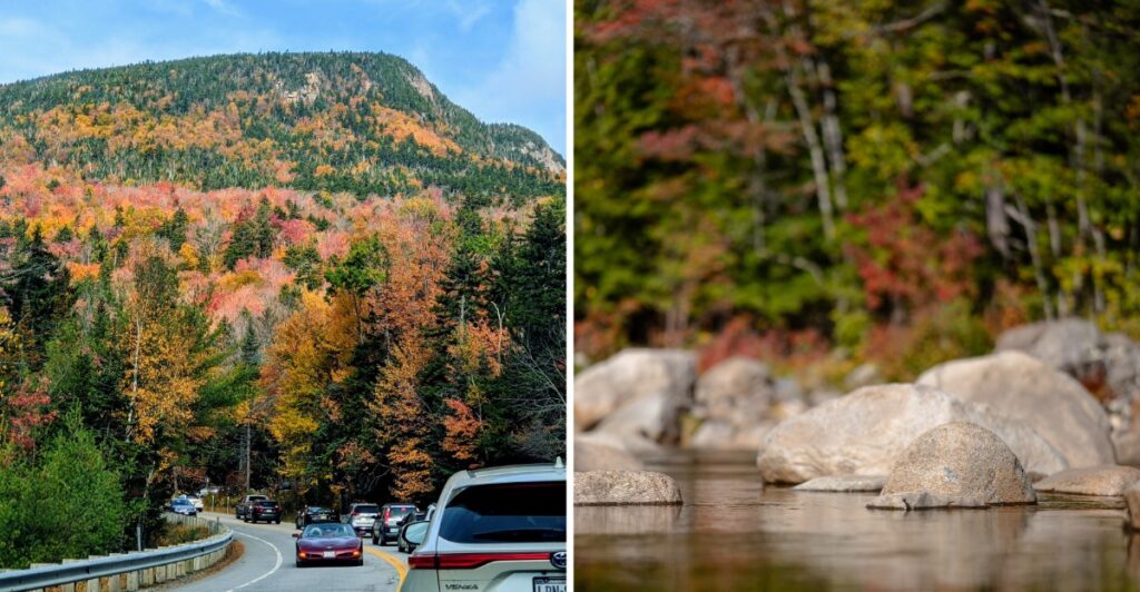
Secure the coffee.
The passenger is about to become a full-time lookout.
This mountain road runs for roughly 34 miles, but autumn makes the distance feel almost irrelevant.
One bend opens onto a hillside glowing with color. Another slips back into the forest.
New Hampshire saves some serious October color for this stretch.
As the road climbs through the White Mountains, the scenery shifts with the elevation. Higher slopes may be blazing while the valleys are still catching up.
Some stops need only a minute.
Others may quietly steal half the afternoon.
Bring something warm to drink and leave the schedule loose.
Thirty-four miles?
Good luck treating them like ordinary miles.
Where The Highway Begins And Ends
Two New Hampshire towns act like bookends for this scenic mountain road. On the western side sits Lincoln, a mountain town near the Interstate 93 corridor. On the eastern side waits Conway, a gateway to the Mount Washington Valley.
Between them, Route 112 runs through the White Mountain National Forest, passing wooded hillsides, mountain streams, and recreation areas.
So which end should you start from? Both work well, and the choice often depends on where you’re staying the night before.
Starting in Lincoln means climbing toward the pass fairly early in the drive. Starting in Conway brings you alongside the Swift River before the road begins to rise toward higher elevations.
The highway carries the name of Kancamagus, a seventeenth-century Pennacook leader whose history is connected to the region.
The route crosses Kancamagus Pass and links different sections of the White Mountains without requiring a long detour between the two towns.
Once you leave either town, cell reception can become unreliable and commercial services disappear. Pick up snacks, download a map, and fill your tank before heading into the forest.
Why The Fall Colors Look Different Along This Highway
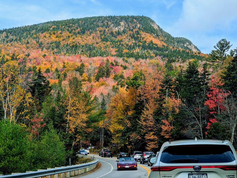
Some roads show you foliage in patches, while this one surrounds you with colorful trees for mile after mile. The Kancamagus passes through a landscape where hardwood forests and evergreens create a changing mixture of color.
For starters, there’s very little commercial development along the scenic stretch. Instead, wooded slopes rise from the roadside, with mountains and river valleys appearing between the trees.
Maples bring shades of red and orange, while birches contribute golden-yellow leaves. Dark green spruce and fir mix in, making the warmer colors stand out against the surrounding forest.
Can you picture rounding a bend and seeing a whole mountainside covered in autumn color? The elevated viewpoints offer a chance to take in those broad, wooded slopes.
Elevation plays a role in the seasonal changes, too. Because the road climbs to approximately 2,855 feet, trees at different heights can change color at slightly different times.
That variation creates hillsides with several shades at once. It also means the view at the pass might look different from the valley floor on the same day.
Add rocky riverbanks and exposed mountain slopes, and the scenery changes again. Look for smaller details near the water before heading uphill for the wider views.
Thirty-Four Miles Of Curves, Rivers, And Mountain Air
Hairpin turns, river views, and a steady mountain climb give this route a rhythm that’s hard to forget. The distance is relatively short, but the changing terrain creates plenty of opportunities to pause.
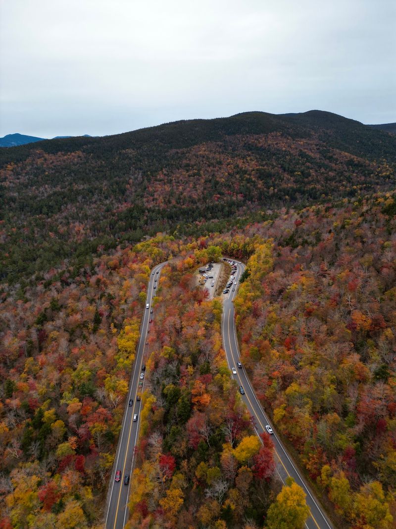
Near the western end, the road follows the Hancock Branch of the Pemigewasset River. Then it climbs through a series of curves, including a sharp hairpin turn near Hancock Overlook.
Up top, Kancamagus Pass marks the highest point at roughly 2,855 feet. Temperatures can be cooler here than in the valleys, so a light jacket in the car is a smart move.
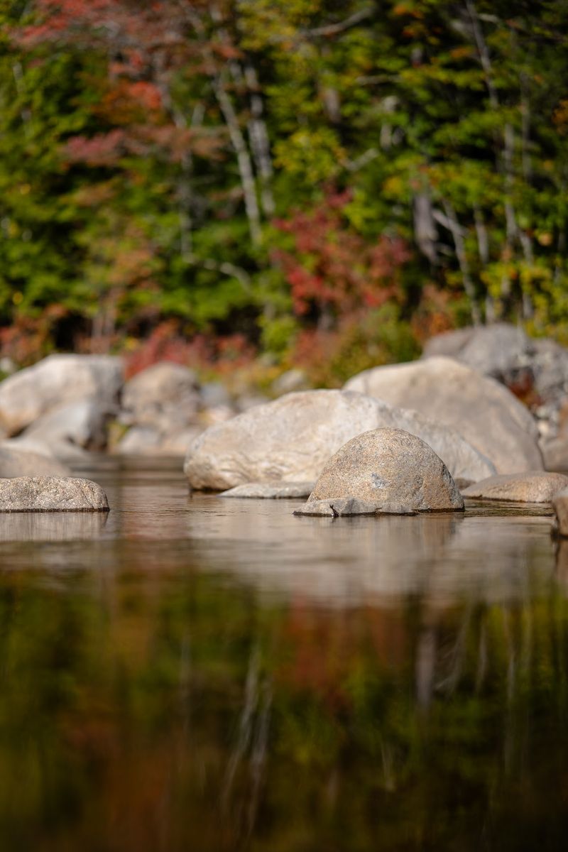
Heading east, the scenery changes as the Swift River accompanies portions of the highway. Granite boulders, rocky channels, and wooded banks provide a different perspective from the elevated overlooks.
Wildlife can appear near forest roads, too. Moose inhabit the White Mountains, making attentive driving especially important around dawn and dusk.
The Osceola Mountains form part of the surrounding landscape, with wooded ridges visible from scenic viewpoints along the route.
Here’s a simple rule of thumb: take the curves carefully and save the sightseeing for designated parking areas.
A relaxed schedule leaves time to enjoy the river, photograph the mountain scenery, and continue the drive without rushing from one stop to another.
Overlooks That Earn Every Turn Of The Signal
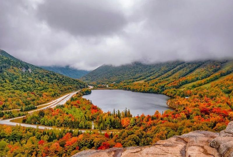
Pull into a designated overlook, step out of the car, and take in the mountain scenery. The Kanc’s roadside viewpoints provide broad landscapes without requiring a lengthy hike.
Hancock Overlook comes up along the western portion of the highway when driving east from Lincoln. Located near the prominent hairpin turn, it offers views across forested mountains and surrounding valleys.
Continue east toward Kancamagus Pass, where the road reaches its highest elevation. The surrounding terrain provides a change from the lower, more sheltered sections of the drive.
Just east of the pass, C.L. Graham Wangan Overlook offers another mountain panorama. The word wangan belongs to the region’s logging history and refers to a camp or supply facility associated with woods operations.
Farther along, Pemigewasset Overlook provides views toward the Osceola Mountains. Sugar Hill Scenic Vista offers another place to pause as the highway continues through the forest.
Which one deserves the longest stop? Let the weather and visibility decide. Passing clouds can change the appearance of distant ridges, while sunlight brings out different colors across the slopes.
Autumn weekends can bring heavier traffic and increased demand for parking. Arriving early may provide more flexibility, although available spaces are never guaranteed.
Use marked parking areas and remain clear of the roadway. If a lot is full, continue to another designated overlook rather than stopping along a narrow shoulder.
Waterfalls And Rocky Pools Worth Stretching Your Legs For
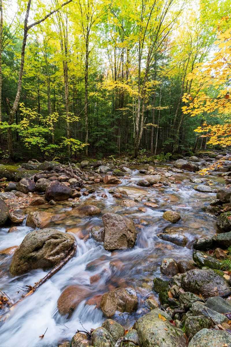
Listen closely at a few recreation areas and you’ll hear water before you see it. A short walk away from the highway reveals rocky channels, waterfalls, and wooded riverbanks.
Sabbaday Falls is reached by a short woodland trail. The route follows a graded gravel path toward a rocky gorge where water flows through distinctive formations.
Stone steps and viewing areas provide different perspectives near the falls. The walk is relatively short, although damp surfaces and steps require care.
Rocky Gorge offers a different kind of scenery. Here, the Swift River squeezes through a narrow rocky channel, and a footbridge allows pedestrians to look down toward the moving water.
Lower Falls has a broader river setting, with granite ledges, cascades, and pools. During warmer weather, the area is used for water recreation. In autumn, the rocky banks and surrounding foliage provide plenty to explore from established viewing areas.
Feeling a bit more adventurous? The Lincoln Woods Trail near the western end follows the corridor of a former logging railroad. A pedestrian suspension bridge crosses the river near the beginning of the trail.
For a shorter break, choose Sabbaday Falls or Rocky Gorge before continuing the drive. For more time on foot, Lincoln Woods offers a longer woodland outing.
Wear shoes with decent grip, especially around wet rocks and uneven paths. Water levels and trail conditions can change after rain, so remain on established routes and follow posted restrictions.
Timing The Colors Just Right
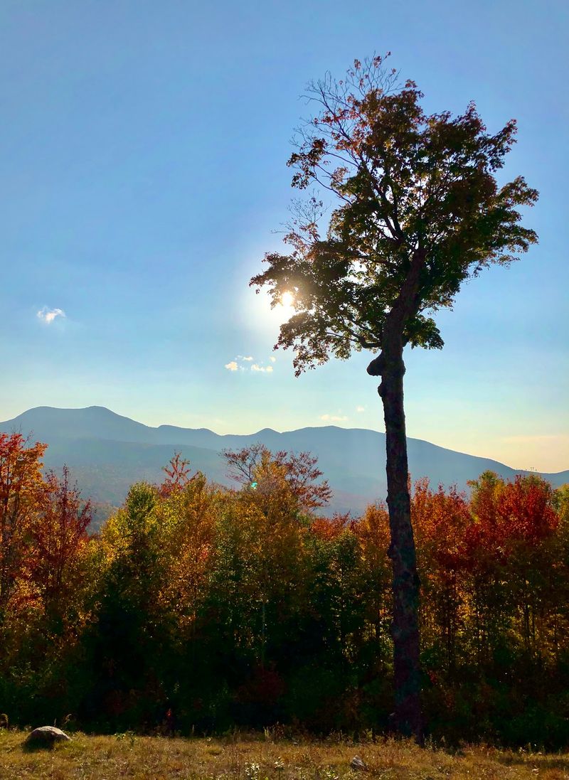
Nature doesn’t provide exact dates for peak foliage, which makes choosing the right autumn travel window a little unpredictable. Still, seasonal patterns can help when planning a drive.
Generally, colors in the White Mountains develop from late September into October. Weather shifts that window each year, so flexibility helps more than relying on a fixed date.
Higher elevations near the pass often change first. Lower stretches along the rivers may retain their foliage longer, creating different views across the route.
Cool nights and sunny days can contribute to vivid autumn colors. Wind and heavy rain, on the other hand, can bring leaves down before the season reaches its expected peak.
New Hampshire’s seasonal foliage reports can help with choosing travel dates. Checking regional conditions closer to departure is particularly useful when planning around a specific weekend.
Weekdays may provide more flexibility at parking areas than busy autumn weekends, although traffic varies with the weather and season.
Morning mist sometimes settles into mountain valleys, while changing sunlight brings different sections of the forest into view throughout the day.
Consider leaving early enough to complete your preferred stops during daylight. Waterfall trails, overlooks, and mountain roads are easier to navigate when visibility is good.
If the mountain views are obscured by clouds, spend more time exploring the riverside scenery before continuing toward the next overlook.
Smart Planning For A Smooth Fall Road Trip
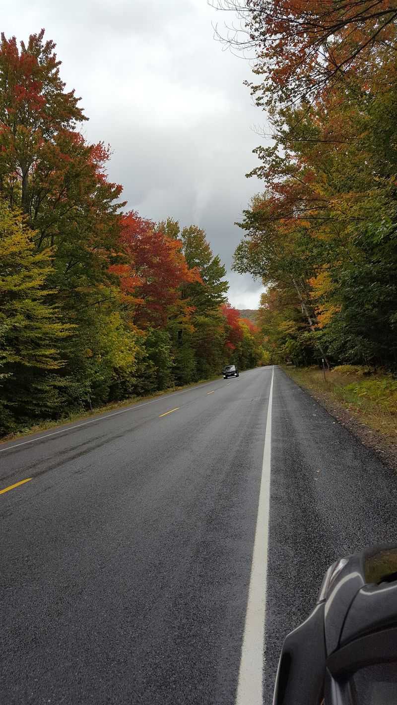
A little preparation makes this mountain drive easier to enjoy. The scenic stretch has no gas stations, so fill your tank in Lincoln or Conway before heading into the forest.
For navigation, follow New Hampshire Route 112 between Lincoln and Conway, NH. The highway passes through national forest land rather than leading to a single entrance building.
Driving the Kancamagus Highway costs nothing, but certain developed recreation areas require a parking or day-use fee. Payment stations are available at designated sites, and qualifying federal recreation passes may cover applicable fees.
Plan on approximately an hour of driving without stops under ordinary conditions. During busy foliage periods, traffic may extend that time considerably.
For an outing with waterfalls and overlooks, allow at least two to three hours. A longer hike or several extended stops may require much more time.
Restrooms are available at some developed recreation areas, though facilities can be basic. Campgrounds are also located along the highway, with services and access varying by season.
Cell coverage can be unreliable across long stretches of forest. Downloading offline maps beforehand makes navigating between stops easier.
The highway has no regular daily opening or closing hours, but weather and temporary restrictions can affect access. Check road and recreation-area conditions before leaving, particularly during colder weather.
Pack layers, a reusable water bottle, comfortable walking shoes, and a bag for carrying out trash.
Leave room in your schedule for an extra overlook or riverside stop. Along the Kancamagus Highway, the changing scenery provides plenty of reasons to take your time.