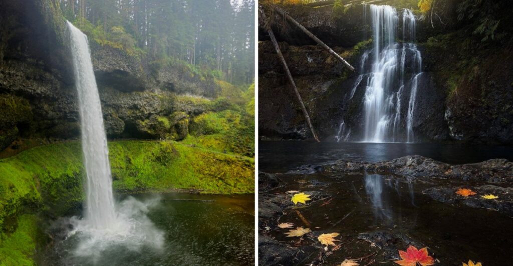
I would have a hard time calling this an ordinary hike once the trail starts taking you behind waterfalls.
Not beside them. Behind them.
Water drops in front of you while the path curves beneath the rock, and suddenly the canyon feels a lot more dramatic than the trailhead suggested.
And that is not the trail’s only trick.
In this corner of Oregon, the route keeps weaving through forest with more cascades waiting farther along, so every stretch feels a little different from the last.
Fall adds yellow and gold between the evergreens, though the waterfalls still have a habit of stealing your attention.
You can keep the outing short or let curiosity carry you farther into the canyon.
Either way, walking behind a waterfall is a pretty difficult act to follow.
This State Park Is Home To Oregon’s Famous Trail Of Ten Falls
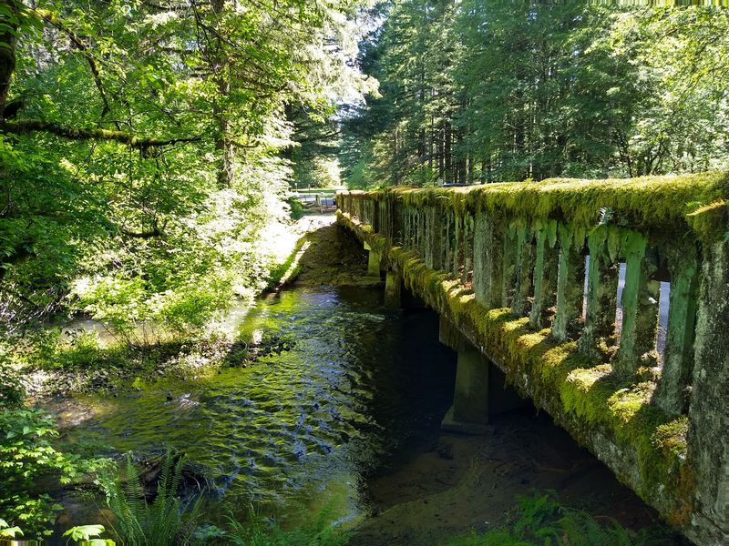
Ten waterfalls on one trail sounds almost too good to be true. Yet that’s the attraction of the Trail of Ten Falls inside Silver Falls State Park, a forested destination near Silverton in Oregon’s Willamette Valley.
The park covers roughly 9,000 acres, with thick woods, rocky canyons, and creeks spreading beyond the waterfall corridor. The trail combines a canyon route with a higher return path, crossing the landscape rather than following a straight line to one viewpoint.
The full circuit normally connects ten named waterfalls, from tall drops to smaller cascades. The route is a designated National Recreation Trail, with several trailheads and connecting paths that allow shorter hikes. The waterfalls also have individual names and measured heights, making it easy to pick a few stops to look for on the map.
Planning matters, though. Trail conditions and access can change after storms or repairs. Check current park notices before heading into the canyon, especially if you intend to complete the entire circuit.
Parking requires a day-use permit, available at pay stations near most trailheads. Cell coverage is limited in the canyon, so download or photograph the trail map before leaving the parking area.
Pack water and snacks before you begin, and leave enough daylight for the return to your vehicle.
The 7.2-Mile Loop Winds Through Lush Forests And Scenic Canyons
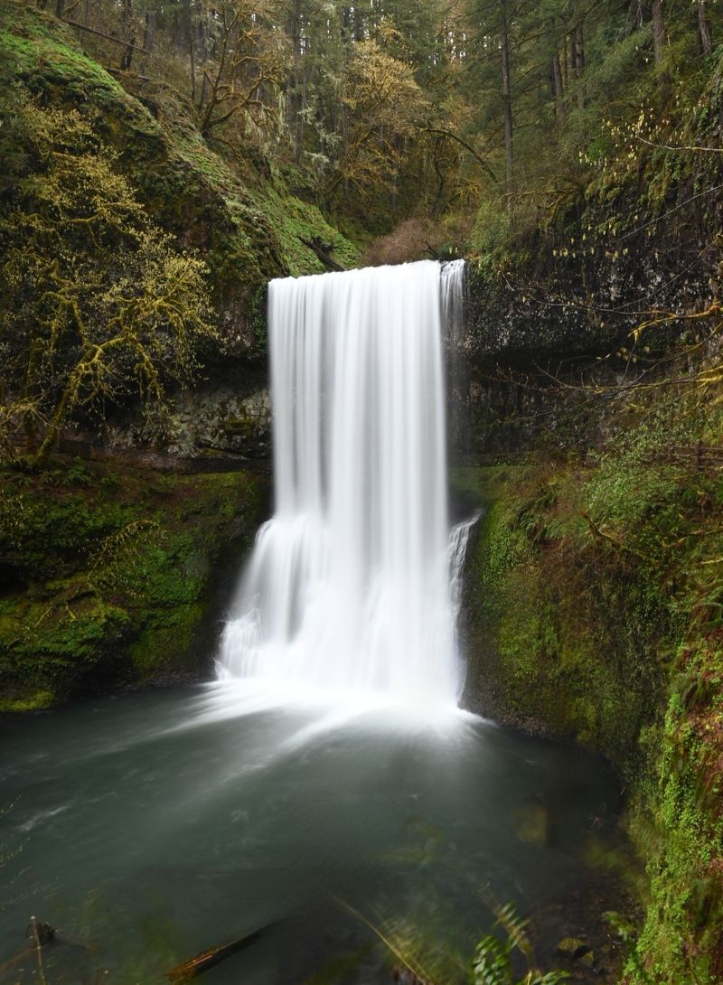
How far would you walk to see ten waterfalls? The complete Trail of Ten Falls measures about 7.2 miles. Check for temporary closures before setting out, since repairs or seasonal conditions may require a different route.
The usual circuit follows the Canyon Trail along the creeks and uses the Rim Trail to return above the canyon. Expect stairs, uneven ground, and climbs rather than a level stroll. The full route has about 800 feet of elevation variation, so it calls for more energy than the mileage alone might suggest.
Starting near South Falls gives you access to a large day-use parking area, restrooms, and the lodge area before you head into the woods.
Trail conditions change after rain. Wet steps, muddy stretches, and fallen debris can slow your pace; sturdy shoes with traction are more useful than rushing to the next viewpoint. There are no restrooms or trash cans along the canyon trails, so take care of those needs at the trailhead and carry out your wrappers.
Leave pets at home for this particular hike. Dogs are not permitted on the Canyon, Maple Ridge, Winter, or Twin Falls trails, even though other parts of the park provide pet-friendly areas.
South Falls Plunges 177 Feet Into A Breathtaking Canyon
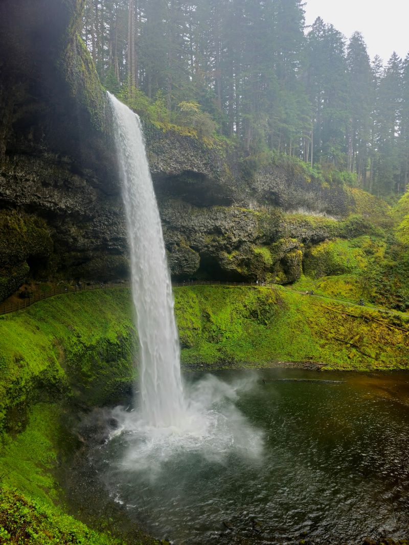
A steady rush reaches your ears as South Falls comes into view, dropping 177 feet into a forested canyon. This is one of the park’s most accessible waterfall experiences from the South Falls day-use area, and it gives you several choices for how close to approach.
The area includes a large parking lot, flush restrooms, the South Falls Lodge, a café, and the Nature Store. Picnic tables and lawn areas offer somewhere to take a break before or after walking down toward the waterfall.
A viewpoint near the top gives a look at the drop without committing to the full canyon route. For a closer experience, the trail descends by switchbacks toward the waterfall’s sheltered rock overhang. The designated South Falls out-and-back hike covers about one mile, though the return climb deserves time.
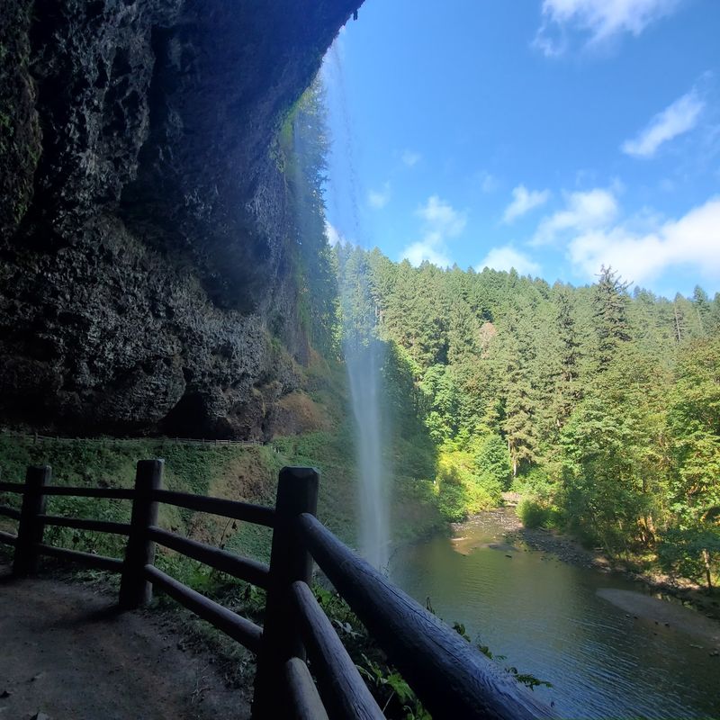
Behind the falling water, the rock forms a broad recess. Stay on the marked path and look through the cascade toward the green canyon beyond. Mist can reach the trail, and the surface may be damp even when the weather above is clear.
Not planning a long hike? South Falls is a sensible first stop. You can see a major cascade, enjoy the surrounding woods, and then decide whether your legs are ready for another section.
Four Waterfalls Offer The Rare Chance To Walk Behind Cascading Water
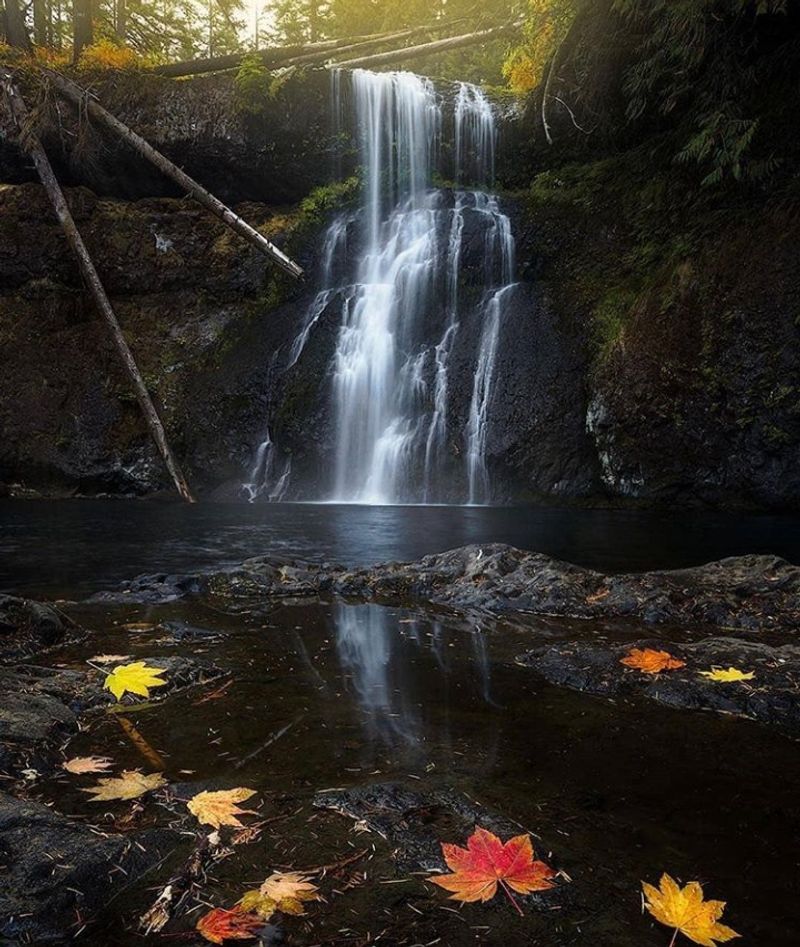
Few trails let you walk behind falling water, but Silver Falls has four waterfalls with routes through natural rock recesses. South Falls, Lower South Falls, North Falls, and Middle North Falls are the four named locations.
The paths curve beneath overhangs where water pours over resistant basalt above softer rock. Over time, erosion of the lower layer produced the recessed space where a trail can pass. The result is a view from behind the cascade, with the stream falling in front of you rather than only below a lookout.
North Falls has another pronounced recess, reached by a route that includes stairs. Middle North Falls has a separate trail spur behind the water, while Lower South Falls provides another opportunity along the canyon route.
Not every behind-the-falls section is guaranteed to be accessible on every visit. Wet conditions, maintenance, and trail closures can affect the approaches. Check current park notices before planning to reach all four in a single day.
Footing deserves attention under the overhangs. Watch for wet stone, narrow passages, and other hikers, especially when taking pictures.
There’s no need to hurry through these sections. Look at the curve of the rock ceiling, then toward the canyon through the water.
Autumn Transforms The Forest With Brilliant Gold And Orange Foliage
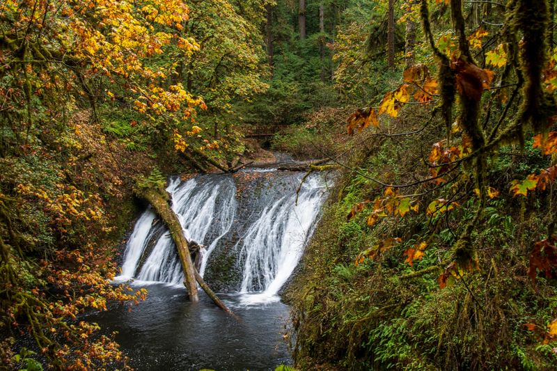
Crunch, crunch, crunch. Autumn hikes here come with a soundtrack of leaves under your boots and water rushing nearby.
Bigleaf maples and other broadleaf trees grow among the evergreens throughout the canyon. When fall arrives, their leaves can turn yellow, gold, and orange, standing out against the darker Douglas firs. The strongest color depends on the year’s weather, so no particular weekend guarantees the brightest display.
That contrast gives you options for photographs. A waterfall framed by autumn leaves creates one composition; a wider view showing the firs, canyon walls, and creek creates another.
Seasonal rain can change the water flow after the drier summer months. It can also make roots, stone steps, and muddy patches more slippery. Bring layers, a waterproof outer layer, and shoes that grip well when the trail is wet.
October day-use gates at the South Falls and North Canyon areas are open from 8 a.m. to 7 p.m. Plan your return with daylight and closing time in mind, particularly if your route includes stairs or a climb back up to the parking area.
Towering Trees And Moss-Covered Cliffs Add To The Trail’s Natural Beauty
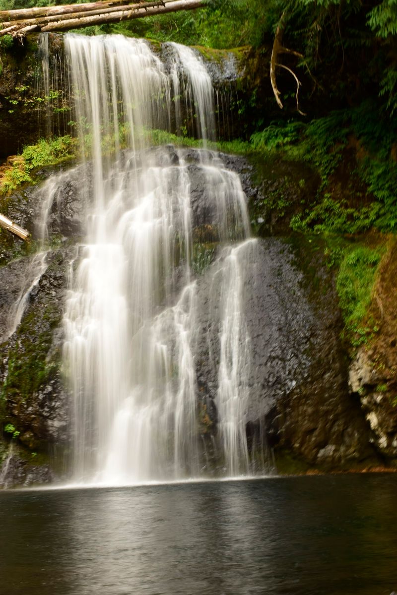
Breathe in deeply, and you may catch the scent of damp earth and evergreen needles. Silver Falls is more than a sequence of waterfall viewpoints; forest covers the slopes between them.
Tall Douglas firs rise above the trails, with ferns and other understory plants filling the spaces below. Moss grows on shaded rocks, logs, and sections of the canyon walls. In wet weather, the greenery can look particularly vivid against the darker stone.
The rock underfoot and overhead is part of the story. Thick layers of basalt form the canyon’s resistant ledges, while softer rock below has worn away in places. Those differences help create the overhangs found behind several waterfalls.
Between the larger cascades, listen for smaller streams moving toward the creek. Take a moment to look at the textures along the trail: fern fronds, fallen leaves, moss on a log, or the layered surfaces of a cliff. Stay on the path while examining them, both to protect the plants and avoid slick ground.
Wet roots deserve special care on downhill stretches. Take shorter steps where the trail narrows, and let people coming uphill pass where there’s room. A walking stick can help with balance on uneven surfaces, provided it doesn’t interfere with others on the trail.
Shorter Hiking Routes Offer More Ways To Experience The Waterfalls
Not ready for a full 7.2-mile trek? Silver Falls has shorter routes that still bring you close to the water. Choose one that suits the time available and check trail notices before leaving the parking area.
The Maple Ridge Loop measures about 2.6 miles and connects the Canyon Trail with Maple Ridge Trail. It includes two waterfalls and starts in the South Falls district. Expect a climb, even though the mileage is much shorter than the complete circuit.
The Winter Falls Loop is a five-mile option that passes seven waterfalls along the Canyon and Winter trails. Because storm damage and repairs can affect access, check the status of the Winter Falls Trail and its trailhead before choosing this route.
The South Falls out-and-back route is about one mile, making it an option for seeing a major waterfall without committing to an extended canyon walk. Its downhill section still means an uphill return, so allow time to climb at an easy pace.
For a different North Falls view, the North Rim Trail provides an out-and-back walk from the North Canyon district. The broad, compacted trail reaches a viewpoint overlooking North Falls. The North Falls trailhead itself has limited parking, another reason to review the map before choosing where to begin.
For navigation, use 20024 Silver Falls Hwy SE, Sublimity, OR 97385.