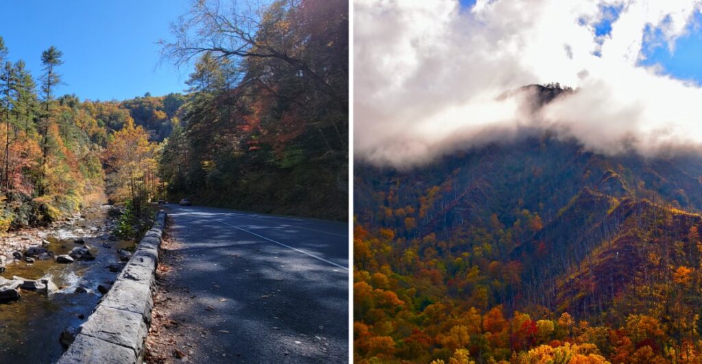
What if the best part of the drive is the part where you never feel like hurrying?
That is the mood here.
The road follows mountain ridges, slipping past overlooks where one pull-off can easily become three.
Autumn makes the temptation tricky.
Color reaches the higher elevations first, then works its way down the slopes. That gives Tennessee travelers more than one shot at catching the mountains in full fall mode.
And you do not have to conquer the entire parkway to make the drive count.
Cruise one section. Stop when the view earns it. Stretch your legs at an overlook or add a short walk when sitting in the car starts feeling unfair to the scenery.
There is no prize for reaching the other end fastest.
And if you keep saying, “Okay, one more overlook,” you are doing this drive correctly.
Start With The Shape Of The Parkway
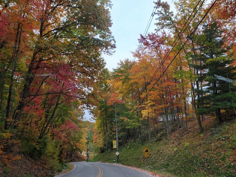
Foothills Parkway is divided into distinct completed sections rather than one continuous scenic road.
That layout gives the drive a choose-your-own-route feel.
One section runs from Cosby to Interstate 40. Another stretches between Walland and Wears Valley, and the western section reaches from Chilhowee Lake toward Walland. Each one offers a different angle on the Smokies and surrounding foothills.
For a first visit, the eastern section near Cosby is easy to understand and short enough to explore without turning the entire day into windshield time. The 5.6-mile route climbs roughly 1,000 feet and includes four scenic overlooks along the way.
That makes it useful when you want mountain views without committing to a long loop.
Sugarlands Visitor Center can also help set up the day before you head out. It sits at 1420 Fighting Creek Gap Road, Gatlinburg, TN 37738, with maps, exhibits, restrooms, and park staff available to help with current conditions.
From there, let time and traffic decide how ambitious the drive becomes.
More Than One Hundred Tree Species Shape The Color
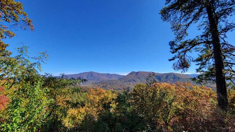
The Smokies do not rely on one dominant tree species for their fall display. More than 100 kinds of trees grow in the park, along with many deciduous shrubs.
That diversity matters once temperatures begin dropping.
Different species change at different times and in different shades, so one ridge can show yellow, orange, red, bronze, and lingering green all at once. The result is less like one sudden color change and more like a slow shift across the landscape.
That is also why one overlook can look noticeably different from another on the same day.
A higher ridge may already be showing stronger color while a lower valley still holds onto more green. A week later, the balance can change again.
For the reader planning a trip, this creates a useful advantage. Missing one narrow “peak” date does not necessarily mean missing the season.
Instead of chasing one perfect weekend, pay attention to elevation and current park updates. Early in the season, look higher. Later in autumn, shift more attention toward the foothills and lower slopes.
The trees do not all change on the same schedule, and that keeps the drive interesting longer.
Foothills Parkway East Packs In Big Views
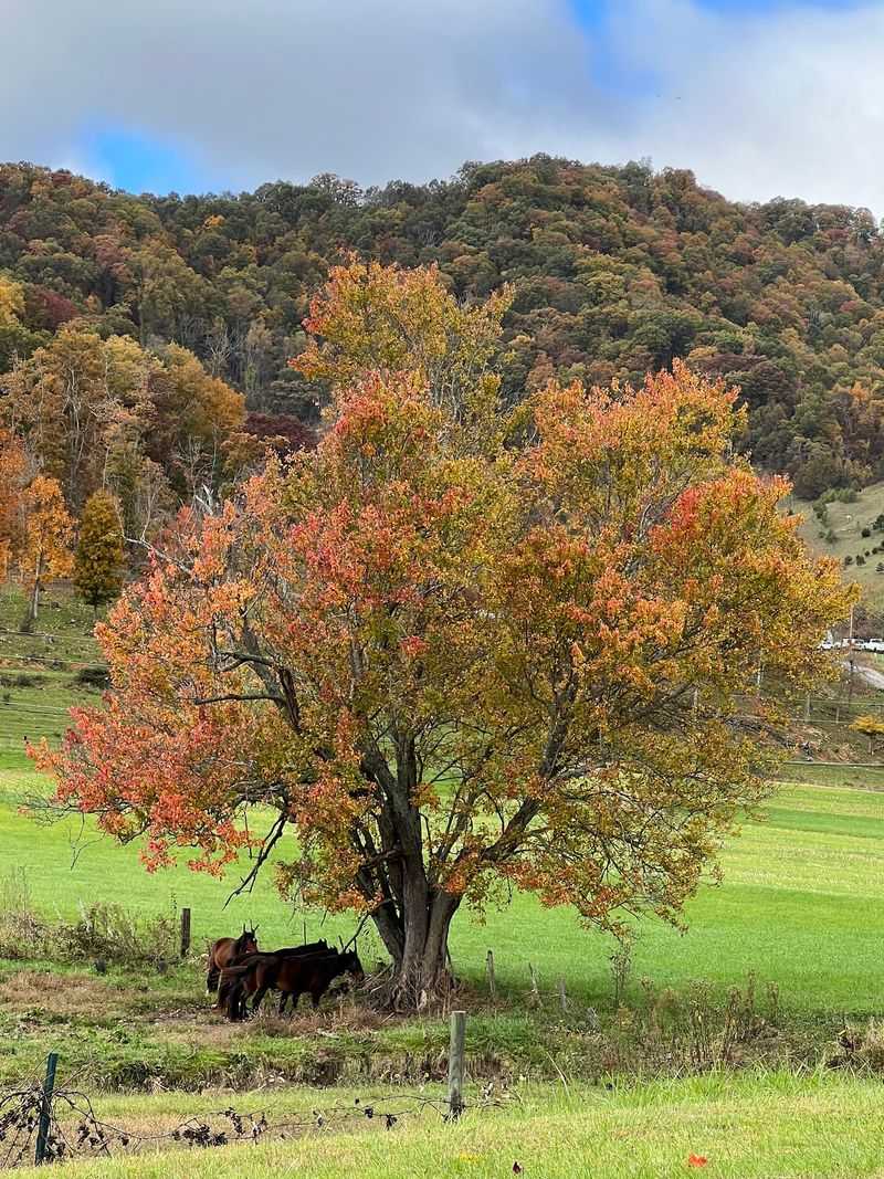
The eastern section between Cosby and Interstate 40 is only 5.6 miles, but it climbs about 1,000 feet along Green Mountain.
That short distance gives the road a surprising amount of elevation change.
Four overlooks break up the drive: Cosby Overlook, Green Mountain Overlook, Allen Grove Overlook, and Greasy Cove Overlook. Views from this section include Cherokee National Forest, Cosby Valley, and Raines Knob.
The practical move is to treat those pull-offs as part of the drive rather than something to rush past.
Stop when the view opens up, stretch your legs, and give the next overlook a chance to look completely different. The road is short enough that slowing down does not ruin the schedule.
There is one detail worth remembering before turning off the engine. A parking tag is required when parking for more than 15 minutes in Great Smoky Mountains National Park.
That matters most if you plan to linger at an overlook instead of taking a quick photo and moving on.
A light layer can also help. Temperatures and wind can feel different at higher points than they did back in town.
The easier pace fits the road better anyway. This section is about seeing how the landscape changes as the elevation rises.
Fall Color Moves Down The Mountains
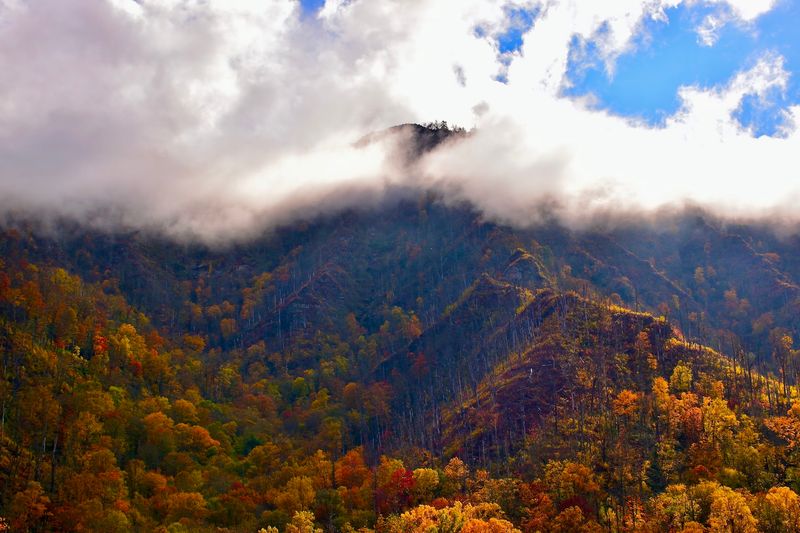
Autumn does not arrive at the same time from ridge to valley.
Great Smoky Mountains National Park ranges from roughly 875 feet to 6,643 feet in elevation, and that difference strongly affects the timing of fall color.
Higher elevations generally begin changing first. At the upper reaches of the park, early color can begin in September, while stronger color above 4,000 feet often develops in early to mid-October.
Lower elevations tend to follow later.
That progression gives road trippers a simple way to think about timing. If the trip falls early in the season, aim your attention higher. If you arrive later, lower ridges and foothills may be doing more of the work.
Weather still gets the final say.
Temperature, rainfall, and other conditions can speed up or slow down color from year to year, so exact peak dates are difficult to predict. The same calendar weekend can look different from one autumn to the next.
That uncertainty is not a reason to overplan.
Check the latest park conditions before leaving, then use elevation as your guide. One part of the landscape may be fading while another is just reaching stronger color.
Look Rock Adds A Short Walk To The Drive
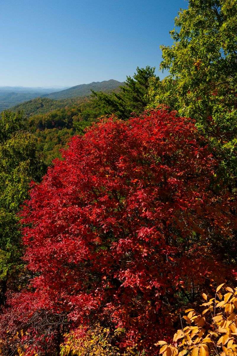
A scenic drive does not have to mean staying in the car all day.
Look Rock gives the western side of Foothills Parkway a useful break from the windshield. The observation tower sits along the western section in Blount County, with a short paved walk leading from the parking area toward the tower.
The distance is modest, so this is an easy way to add a walking stop without turning the day into a full hike.
From the tower area, the view opens across the surrounding mountains and foothills. On a clear day, the layers of ridges can stretch far into the distance.
That makes Look Rock a good counterpoint to the roadside overlooks.
At one stop, the car does most of the work. Here, a brief walk earns a higher viewpoint before you return to the parkway.
Comfortable shoes are still useful, especially if the pavement is damp or leaves are underfoot. Conditions can also change with weather, so checking current park updates before heading out remains a smart habit.
If your day already includes several pull-offs, Look Rock adds just enough movement to reset the pace before getting back behind the wheel.
Fall Traffic Changes The Timing
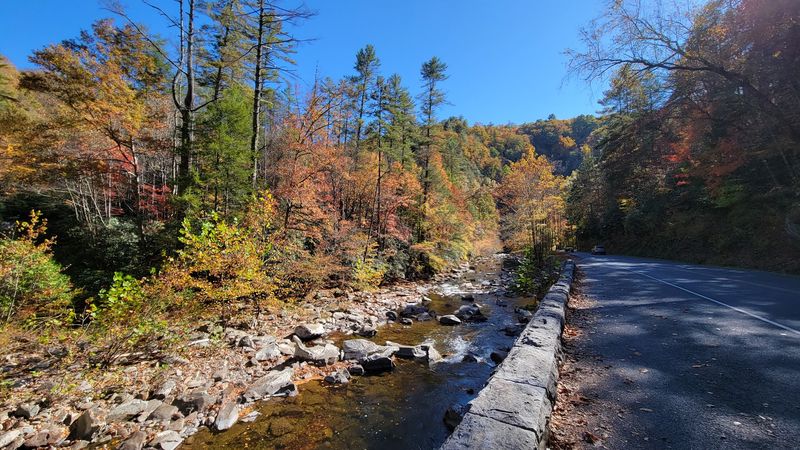
October is the busiest month of the year in Great Smoky Mountains National Park, so fall color comes with one practical complication: other people want to see it too.
That does not mean the trip needs to feel rushed.
The National Park Service recommends allowing extra travel time during busy fall periods and checking current road and traffic conditions before setting out.
Some of the park’s best-known destinations can become congested, which is one reason Foothills Parkway can be useful as a quieter alternative.
Timing still matters.
Starting earlier in the day or shifting plans later in the afternoon can help around busy periods, especially when parking is limited. The goal is not to chase an empty road, only to leave enough room in the schedule for delays.
Cell service is another thing to plan around. Coverage in the park is extremely limited and often unavailable, so downloading offline maps or carrying a paper map can save frustration.
Pack water, snacks, and a layer for changing temperatures.
Then leave some open space in the itinerary.
A fall road trip becomes much easier when one slow section of traffic or one extra overlook does not make the rest of the day feel late.
Let Elevation Decide The Rest Of The Day
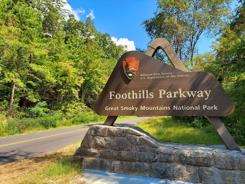
The best part of this route is how little it asks you to commit to one exact plan.
Foothills Parkway can be a short scenic drive, a string of overlooks, a stop at Look Rock, or one part of a longer Smokies day. The road works because each section can stand on its own.
Use the season to guide the order.
Earlier in autumn, higher elevations deserve more attention. As the weeks move on, the lower slopes and foothills can become the stronger bet.
Then let the road fill in the details.
If one overlook is busy, continue to the next. If the light improves, stay a little longer. If current color reports point lower, shift the route accordingly.
The only fixed rule is to give yourself enough time.
Fall color in the Smokies is not a single event that appears everywhere at once. It moves, fades, strengthens, and changes by elevation.
That is exactly why a mountain road trip works so well here.
You are not racing toward one viewpoint. You are watching the season change mile by mile, with each curve offering another reason to pull over and look again.