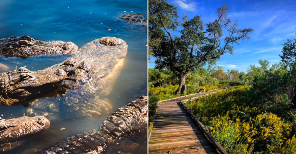
Most visitors to this part of Louisiana head straight for the French Quarter without knowing that twenty minutes east, a wildlife refuge stretches across fourteen thousand acres of marsh, swamp, plus bottomland hardwood forest.
The entrance is easy to miss: a small sign off the highway, a gravel parking lot, plus a boardwalk that disappears into the cypress trees before you can see the water. Once inside, the quiet takes over.
Alligators drift along the canal banks with just their eyes visible above the surface. Roseate spoonbills sweep through the shallows in pink arcs that look impossible against the green. Turtles stack three deep on every fallen log.
The trails cover enough ground to fill an entire morning, plus the observation decks give you a vantage point over marshes that stretch flat to the horizon. Wildlife spotting in Louisiana does not get more accessible than this refuge twenty minutes from the city.
Morning Light And Bird Activity
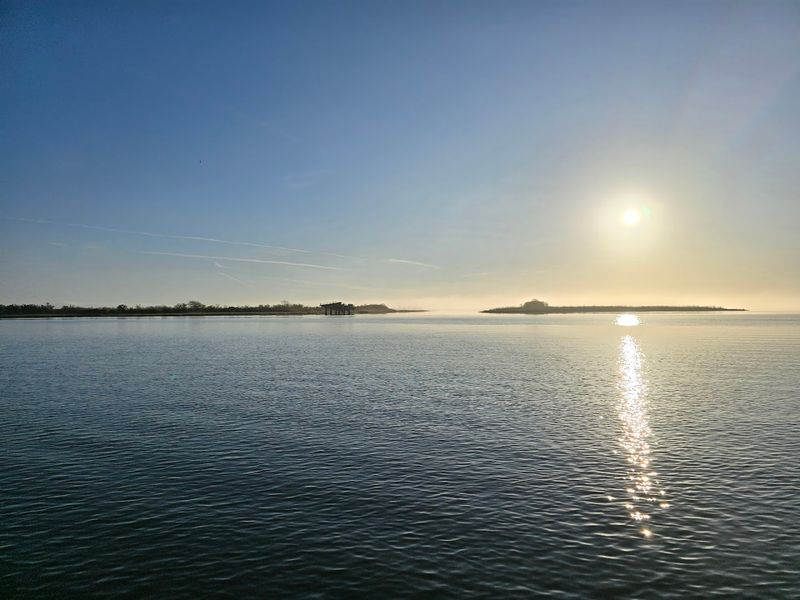
The first hour after sunrise at Bayou Sauvage is when the marsh feels most alive and the air holds a clean, briny edge. Birds pour out of the hidden channels and perch along levees; pelicans and egrets slice the light while songbirds flit through the shrubs.
I watch spoonbills ghost over shallow water and note how different species use the same microhabitats at the same time. Even distant splashes and wingbeats feel amplified in the morning quiet, turning the refuge into a slow, living map of movement.
Bring binoculars and a field guide and settle on a levee to watch patterns unfold: feeding flocks, territorial postures, subtle interactions. The refuge’s vastness means patience pays off, and early light reveals textures and behavior missed later in the day.
A notebook helps too, especially if you want to track repeat sightings across different visits.
Chef Menteur Highway Turns Into A Marsh Portal
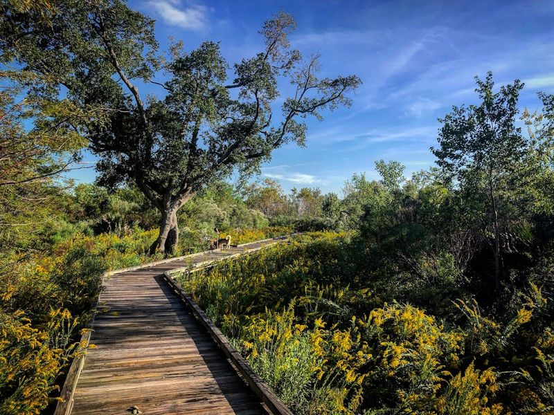
Bayou Sauvage Urban National Wildlife Refuge sits at 17160 Chef Menteur Highway in New Orleans, Louisiana, but the most useful target for many first-time visitors is the Ridge Trail access point. From New Orleans, head east on Interstate 10 and exit toward Paris Road, then turn east onto Chef Menteur Highway.
Stay on US-90 as the city thins out and the road begins feeling more like a causeway through open marsh. The Ridge Trail area is located along US-90, west of the US-11 junction, and offers one of the easiest refuge access points.
Pull into the trail parking area and look for the boardwalk loop, restrooms, and picnic pavilion. Once the traffic noise drops behind you and the marsh opens beside the wooden path, you have reached the wildest-feeling corner of New Orleans.
Sensory Oddities Of The Marsh
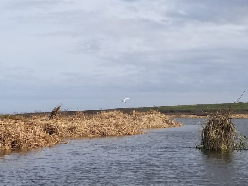
When you walk the levees the sounds are layered: distant traffic, a chorus of frogs, the sharp snap of a kingfisher, and the rustle of wind through spartina grass. Sometimes a scent of brackish water carries with a faint, earthy sweetness after rain.
These sensory cues signal animal activity and shifting water levels that determine who will show up at a particular morning. Even the direction of the breeze matters, carrying calls across open water or hiding movement in the reeds until you are close.
Pay attention to water movement for feeding birds and to sudden silence that often precedes wildlife movement. I learned to interpret gull calls and frog choruses as practical information; they’re not just background noise but a live map to where something interesting might be happening nearby.
Maxent Levee Trail Logistics
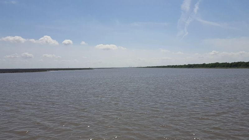
The Maxent Levee Trail is a practical spine for exploring the refuge: a long gravel path that runs three miles each way and offers steady vantage points over marsh and ponds.
It’s popular with bikers and birders because it’s accessible, relatively flat, and gives uninterrupted sightlines across large water bodies where waders and waterfowl gather. Timing your visit to avoid busy weekend hours improves chances of quiet observation.
Bring water, sun protection, and shoes that handle gravel. The trail’s length allows you to focus on sections where recent sightings have been reported rather than trying to see everything at once. Binoculars and patience reward you along this broad, revealing route.
Ridge Trail Closure And Alternatives
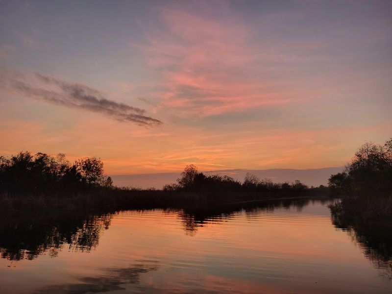
Note that the Ridge Trail boardwalk is closed for reconstruction as of March 2, 2026, so the familiar 2/3-mile interpretive loop with restrooms and pavilion is temporarily off limits.
That closure can be disappointing if you came for that short loop, but it nudges visitors to explore other refuges like Recovery One Road and Joe Madere Marsh Overlook, which are known for excellent birding and waterfowl views.
These spots present different vantage points and often feel less concentrated with foot traffic. They also encourage slower observation from the road edge or overlook, where patient scanning can reveal movement across open water, marsh grass, and distant tree lines.
Check the refuge website or call ahead for current construction timelines. A little flexibility in route planning keeps your visit productive and often more peaceful than expected.
Joe Madere Marsh Overlook Views
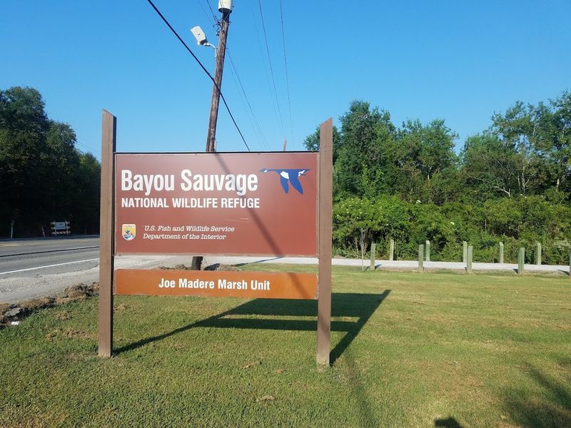
The Joe Madere Marsh Overlook on US 90 offers broad, textbook views of waterfowl and shorebirds gathered on flats and shallow ponds, making it a reliable spot for scanning large numbers of birds.
From this vantage point you can watch feeding flocks and identify species by silhouettes and flight patterns without needing to enter deeper refuge areas.
It’s particularly useful for spotting large groups of wintering waterfowl when conditions and water levels concentrate birds.
Bring a spotting scope if you can; distant ducks and shorebirds reveal more field marks at higher magnification. Even simple binoculars will show busy life on the flats if you take time to scan methodically from one section to the next.
Seasonal Quirks And Timing
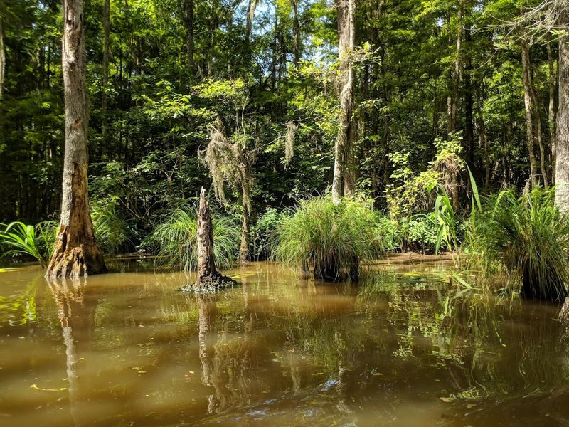
Seasons reshuffle the marsh’s cast: fall and winter bring impressive waterfowl numbers with peaks in late fall, while May often hosts a large wading bird rookery that’s thrilling to watch. Summer heats the landscape; mornings and evenings are best then, both for comfort and for animal activity.
During cold snaps some birds warm up and become more visible around midday, so don’t rule out a midday visit in winter.
Water levels change scenes dramatically, altering where alligators and certain shorebirds appear. Consult recent refuge notes and plan visits around tides and recent rainfall to increase odds of seeing the animals you want.
Respectful Wildlife Viewing Techniques
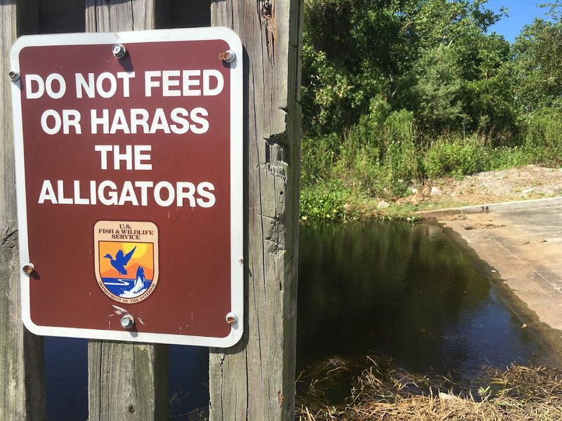
Keep your distance and use optics to enjoy wildlife without altering natural behavior; this is both safer and kinder for the animals. Alligators, nesting birds, and feeding flocks can be stressed by approach, so stay on levees and designated trails where signage exists.
Avoid sudden movements and loud noises, and never feed wildlife as that changes natural habits and is prohibited.
When photographing, use longer lenses and avoid playback calls that provoke responses. I often mark a comfortable viewing spot and let the scene come to me instead of chasing fleeting sightings, which preserves the experience for everyone and keeps animals safe.
Reptiles And Amphibian Awareness
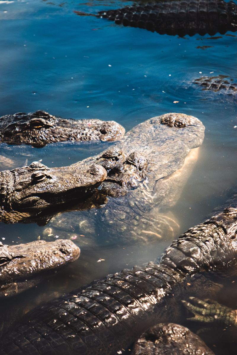
American alligators are common here, and encounters are part of the refuge’s character, so maintain a respectful and safe separation at all times. Watch for movement in shallow water and avoid leaning over levees to peer down; snakes including water moccasins and loud bullfrogs also inhabit shoreline edges.
Keep dogs on leash and be mindful of sudden animal appearances near the waterline.
Understand seasonal behavior: higher marsh water levels can concentrate reptiles in visible spots, while dry conditions may push them into deeper channels. Always observe posted regulations and give reptiles the space they need to remain wild and undisturbed.
Local Culture And Conservation Ethos
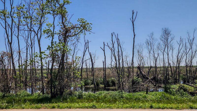
The refuge sits at the intersection of urban life and conservation work, and the local community takes stewardship seriously through volunteer efforts and educational outreach. Refuge staff and local birding groups often host walks and events that reveal both natural history and the ongoing restoration projects designed to sustain habitat.
This culture of care means visitors frequently encounter signage, organized activities, and volunteers willing to share recent sightings and habitat notes.
Participating in a guided walk or checking community postings can deepen your understanding and point you to the best viewing areas. It’s a small, engaged network that enhances both experience and protection of the place.
Practical Packing And Safety Tips
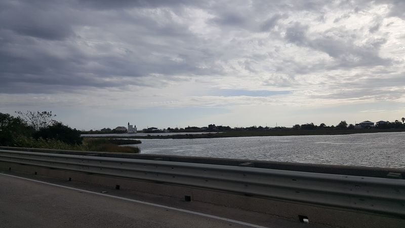
Pack smart: binoculars, water, sunscreen, insect repellent, and sturdy shoes should be baseline items for any visit to Bayou Sauvage.
The levees and trails can be exposed, so sun protection and hydration are not optional. Also bring a small field guide or app to note species, and consider a lightweight spotting scope for distant flocks and shorebirds if you have one.
A hat, sunglasses, and a small towel can make a long, humid walk much more comfortable, especially when shade is limited.
Follow refuge rules about pets, drones, and prohibited activities. Let someone know your plan if you’ll be exploring a longer stretch of levee, and always carry a charged phone and basic first aid items to handle minor issues during your outing.
A portable charger is useful too, since navigation and birding apps can drain batteries quickly.