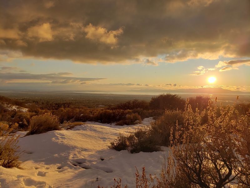
A trail feels different when the destination is not just a viewpoint, but a story waiting quietly in the hills. The Utah foothills can look peaceful at first glance, all scrub oak, open sky, and dry paths winding through familiar terrain.
Then you learn what rests farther along the route, and the whole hike takes on a deeper pull. Hidden near the trail is the crash site of United Flight 2860, a solemn piece of aviation history that turns a simple outing into something more memorable.
It is approachable enough for families who want fresh air and movement, but meaningful enough to make everyone slow down when they reach it. That combination is rare, isn’t it?
You get exercise, scenery, and a real reason to pay attention. That is what makes this Utah trail linger in your mind long after the car ride home.
The Story Behind United Flight 2860 and Ed’s Peak
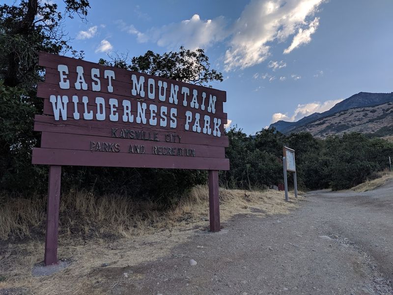
Not every trail marker points to a scenic overlook. Some point to something far more sobering, and the path toward Ed’s Peak inside this place at 1625 E 650 N, Kaysville, Utah 84037 is exactly that kind of trail.
The destination is the crash site of United Flight 2860, a chapter of aviation history embedded directly into the hillside above a quiet Davis County neighborhood.
The peak itself was named after Ed Dickson, honoring the memory connected to the crash. Informational signs along the trail provide historical context, so you are not simply staring at wreckage without any frame of reference.
That detail matters, because history without context is just noise.
The combination of a named peak, a real flight number, and physical remnants creates an experience that feels genuinely educational rather than morbidly curious. Visitors who take the time to read the posted signage leave with a fuller picture of what happened here.
It is the kind of local history that rarely makes it into textbooks but absolutely deserves to be remembered.
Why It Matters: This site connects a routine outdoor outing to a real historical event, giving the hike purpose beyond the physical miles logged.
What Wilderness Park Actually Offers Before You Hit the Trail
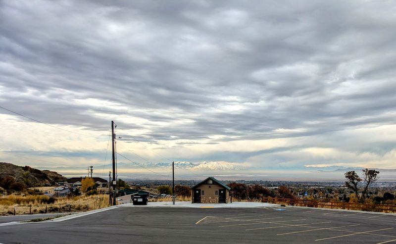
Before the trail earns your attention, the trailhead earns your respect. Wilderness Park comes equipped with a proper parking lot that has been upgraded in recent years, giving families and solo hikers a genuinely comfortable starting point.
There are restrooms on site, a water station for filling bottles and hydration packs, and informational signs that set the historical stage before you take a single step uphill.
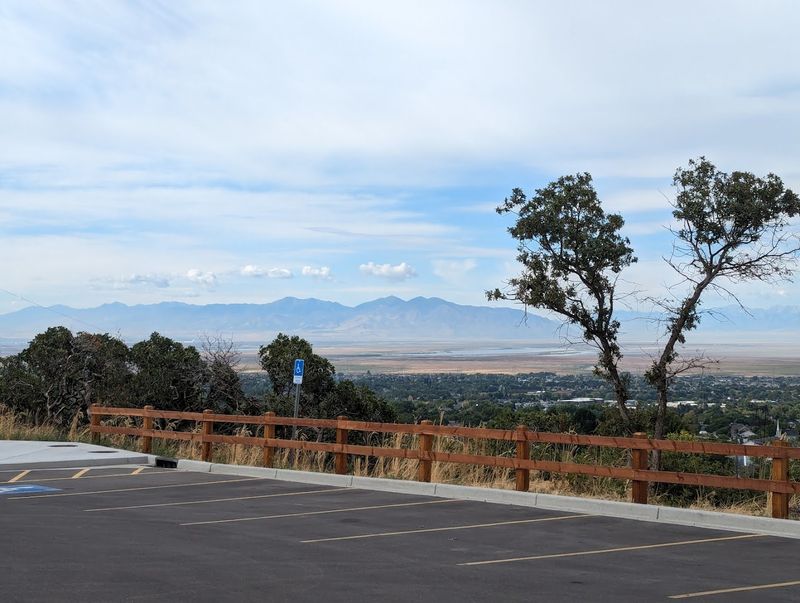
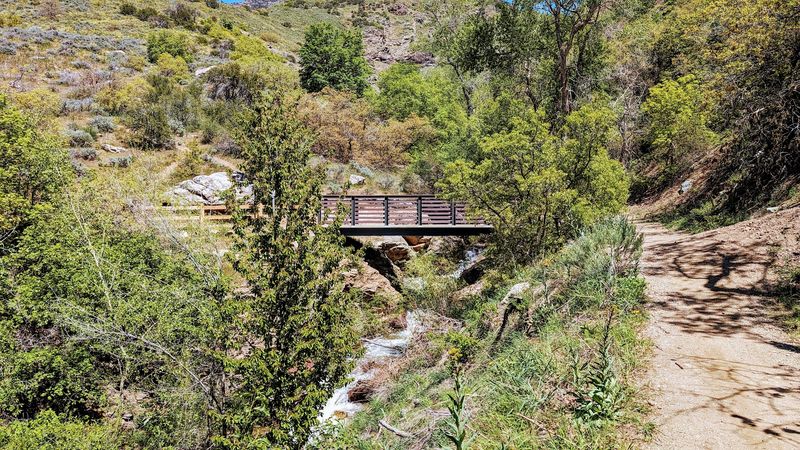
The park spans roughly 170 acres, which means there is enough room to wander without feeling like you are following a crowd in a single-file line. Trails connect to other trail systems in the area, so experienced hikers can extend their day if the mood strikes.
Beginners, meanwhile, can keep things manageable and still feel like they earned something.
Hours run daily from 9 AM to 8 PM, which gives you a solid window without the pressure of a midday-only visit. The phone number on file is (801) 544-1788, and the city’s website at kaysville.gov carries updated park information.
Arriving early on weekends is a smart move, because the lot fills faster than you might expect for a park this size.
Pro Tip: Fill your water bottles at the trailhead station before heading up. The climb to Ed’s Peak is modest but steady.
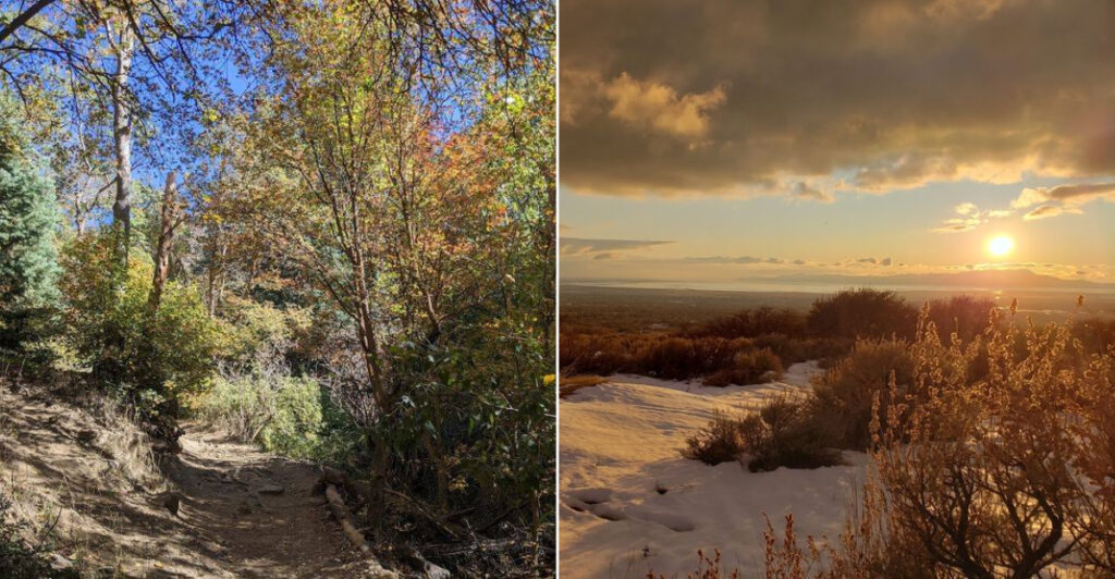
The Hike Itself: What to Expect on the Way Up
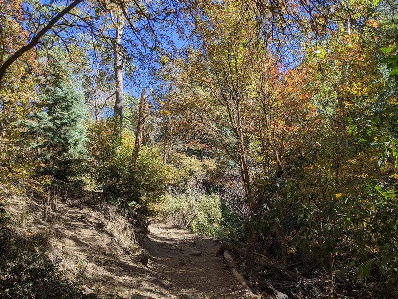
Calling this an easy hike would be doing it a slight disservice. The trail to Ed’s Peak has uphill sections that will remind your legs they exist, particularly on the Bamberger Trail, which visitors have noted is notably rocky and steep in spots despite how it might look on a trail map.
Think of it less as a casual stroll and more as a purposeful climb with a payoff waiting at the top.
The terrain moves through scrub oak forest, which provides welcome shade during warmer months and a surprisingly dramatic look in late autumn when the leaves turn. Trail markers are well maintained and easy to follow, which removes the anxiety of second-guessing every fork in the path.
Dogs are welcome on leash, so the four-legged members of your group are not left behind.
Mountain bikers also use these trails, so hikers should stay alert at blind corners, especially on the upper sections. The mix of users keeps things lively without feeling chaotic.
For families with younger kids, going as far as feels comfortable and turning back is a perfectly reasonable strategy. The crash site rewards those who push a little further up the hill.
Best For: Families with older kids, trail runners, mountain bikers, and anyone who wants a hike with a destination that means something.
Arriving at the Crash Site: What You Will Find
Reaching the crash site is one of those moments where the trail stops being just a trail. The remnants of United Flight 2860 are visible among the scrub and rock, worn by decades of Utah weather into something that feels less like a disaster scene and more like a monument.
The site does not announce itself dramatically; it reveals itself gradually as you crest the hillside.
Physical pieces of the aircraft remain on the slope, and the informational signs placed nearby give visitors the historical grounding needed to process what they are looking at. This is not a roped-off museum exhibit.
It is an open-air site where the natural landscape and a piece of aviation history exist side by side in quiet coexistence.
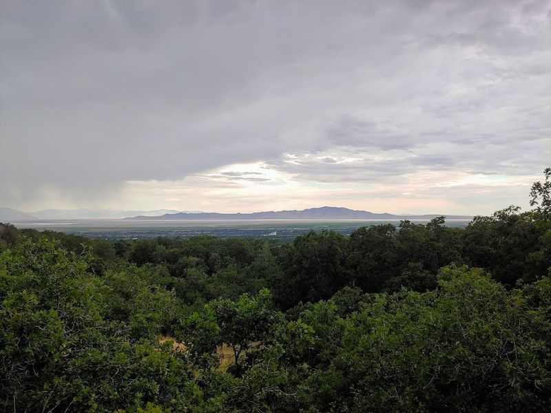
Standing there, with the valley of Davis County spread out below and old metal resting in the oak brush, it is hard not to feel the weight of the moment. The site has drawn visitors for years precisely because it offers something rare on a public trail: a reason to stop moving, look carefully, and think.
That combination of physical effort and genuine reflection is what separates this hike from a hundred others in the region.
Insider Tip: Read every informational sign at the site before taking photos. The context genuinely changes how you experience the wreckage.
Who This Hike Is For and Who Should Plan Accordingly
The honest answer is that this hike works for a wide range of people, but not without a little planning. Families with young children can enjoy the lower trail sections and the general park environment without committing to the full climb.
The new parking lot and restroom facilities make the starting point genuinely family-friendly, even if the summit push is better suited to older kids and adults.
Couples looking for a hike that doubles as a conversation starter will find the crash site delivers exactly that. There is enough history here to fuel discussion well past the drive home.
Solo visitors who prefer trails with substance over trails with scenery alone will also feel at home.
One honest caution: warmer months bring rattlesnakes to this area, and visitors have flagged this consistently. Staying on marked trails and watching your step in rocky sections is standard practice here, not optional.
Sturdy footwear is worth the effort regardless of season, because the upper trail sections are rocky enough to make casual sneakers a liability. Winter visits are possible but icy conditions can change the difficulty level significantly.
Who This Is Not For: Very young toddlers, visitors expecting paved surfaces, or anyone unprepared for moderate elevation gain and uneven terrain.
Making a Morning of It: How to Frame the Visit
Wilderness Park opens at 9 AM daily, which makes it a natural fit for a morning outing before the heat of a Utah afternoon sets in. Arriving close to opening gives you the parking lot before it fills and the trails before the crowd density picks up noticeably on weekends.
Pack water, snacks, and appropriate footwear, and you are genuinely set for a complete half-day experience without needing to overthink the logistics.
The park sits right in Kaysville, so combining the hike with a post-trail stop somewhere in town is an easy add-on that requires no detour. A quick errand run or a sit-down lunch after you get back to the car turns a trail outing into a full Saturday morning with very little extra effort.
That is the kind of low-debate planning that actually happens instead of just getting talked about.
The orienteering course inside the park is worth noting for families who want a structured activity layered on top of the hiking. It is free, it is marked, and it gives kids a mission-oriented reason to move through the trails with genuine focus.
Pair the orienteering with the crash site hike and you have covered a surprising amount of ground, literally and historically.
Planning Advice: Go on a weekday if your schedule allows. The trails are noticeably quieter, and the crash site experience feels more personal without a crowd nearby.
Why This Trail Stays With You After You Leave
Most hikes end when you get back to the car. This one tends to follow you home.
The combination of physical effort, open landscape, and a crash site that carries real historical weight creates an experience that is harder to shake than a typical afternoon on the trail. It is the kind of outing that comes up at dinner that evening without anyone planning to bring it up.
Wilderness Park earns its strong local reputation not through flashy amenities but through honest, accessible trail quality and a destination that gives hikers something to think about beyond their step count. The crash site of United Flight 2860 is not a gimmick or a manufactured attraction.
It is a real piece of history sitting on a real hillside, open to anyone willing to make the climb.
That accessibility is part of what makes it remarkable. No permit required, no entrance fee, no reservation system standing between you and one of the more quietly compelling destinations in the greater Salt Lake area.
If someone texts you asking for a weekend hike recommendation that actually has a story behind it, this is the one to send back. The trail does not overpromise, and that is exactly why it delivers.
Quick Verdict: A trail with genuine historical weight, approachable terrain, and a summit payoff that earns its place on any Utah hiking shortlist.