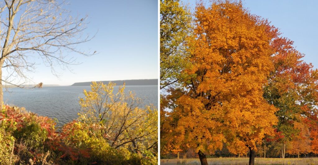
Ever had a road trip make you say, “Okay, but what is around that next bend?”
That is the kind of trouble you get into along Wisconsin’s western edge.
The Mississippi keeps slipping in and out of view, and every time it comes back, the road seems to offer another reason to slow down.
Fall only makes that harder to resist.
I would not research every stop beforehand. That would ruin half the fun.
Take one stretch. Keep the windows clear. Stay curious.
You might pull over because the river suddenly looks too good to ignore. You might keep driving just to see what happens five miles later.
And that is how “five more miles” becomes a very flexible unit of measurement.
Honestly, I would not fight it.
1. Prescott Starts Where Two Rivers Meet
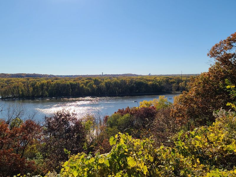
The Great River Road begins its Wisconsin stretch in Prescott, where the St. Croix River meets the Mississippi.
Freedom Park gives you an easy first look at that confluence from a bluff above the water, and the Great River Road Visitor and Learning Center adds maps, exhibits, and route information without requiring a long stop.
The park itself covers about four acres and includes walking paths, picnic space, native plantings, and river overlooks.
From May through October, the visitor center keeps seasonal hours, so an early morning arrival may mean enjoying the outdoor views before the building opens.
Keep the first stop simple. Walk the bluff path, look across both waterways, and decide how much mileage you actually want before lunch. A road trip with 250 miles available does not become better just because the odometer gets more attention.
From Prescott, Highway 35 carries the route south toward Lake Pepin, where the water broadens and the small-town stops begin arriving closer together.
2. Lake Pepin Slows The Route Through Stockholm And Pepin
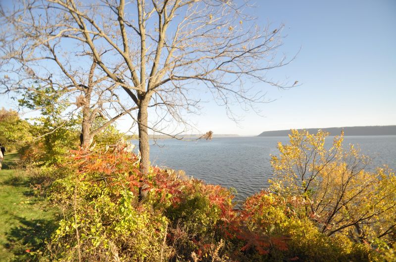
Lake Pepin changes the scale of the river around Stockholm and Pepin. The Mississippi widens here into a long natural lake, so the road repeatedly opens toward broad water rather than a narrow river channel.
Stockholm is small enough that parking once and walking makes sense. The village sits directly on Lake Pepin, with a roughly 700-foot stone pier stretching from the park into the water.
Shops, galleries, and local food stops sit within a compact area, so there is little reason to rush back to the car.
A few miles farther south, Pepin keeps the route close to the shoreline. This part of the drive works best when you let the water dictate the pause. Calm conditions can make the lake look almost still, while wind gives it a much rougher surface and changes the entire view.
Fall color can vary from hillside to hillside around Lake Pepin, especially as weather changes through October. Treat the foliage as part of the scenery rather than a single target date.
If the light looks better than the schedule, the schedule can wait ten minutes.
3. Maiden Rock Tucks Lake Pepin Beneath A Four-Hundred-Foot Bluff
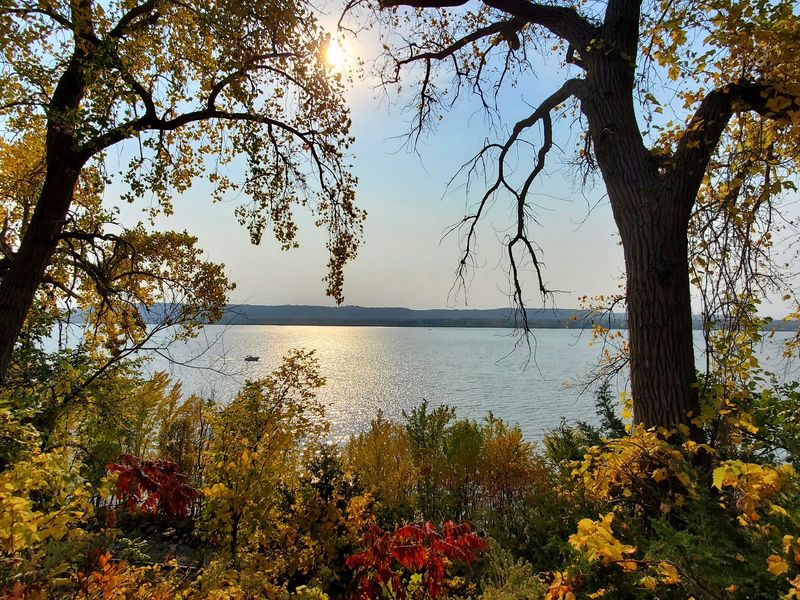
Maiden Rock arrives quietly along the Lake Pepin stretch, but the landscape gives the town its own shape. The village sits near the meeting of the Rush and Mississippi rivers, with a roughly 400-foot bluff rising above the water.
That height keeps the town visually compact. Lake Pepin spreads out on one side while wooded slopes climb sharply on the other, and autumn color works across both.
You do not need a complicated stop here. Walk near the water, browse the small-town center, or simply give the drive a break before continuing south.
If Stockholm and Pepin are already on your route, Maiden Rock fits naturally between them without demanding a major detour. It is the kind of stop that works because it asks for very little planning.
4. Buena Vista Lifts You Above The Mississippi In Alma
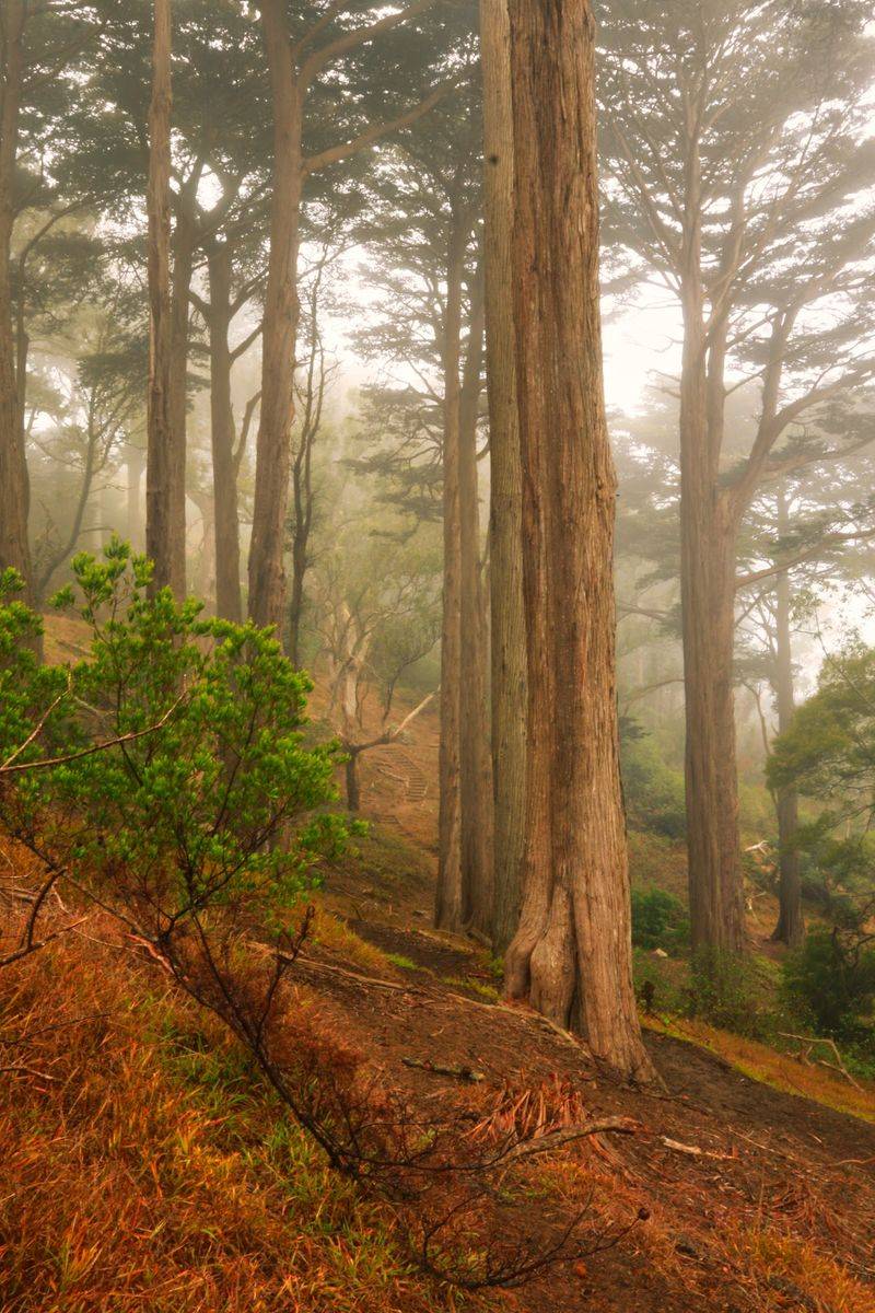
South of Pepin, the road follows the river toward Alma, where the bluffs rise sharply behind a narrow strip of town. Buena Vista Park sits roughly 500 feet above the Mississippi River and Lock and Dam No. 4, giving you one of the higher viewpoints along this portion of the route.
You can reach the park by road or climb from town on the walking trail if your legs need more work than the steering wheel has provided. Either way, the change in elevation is immediate once you reach the top.
From there, islands, backwaters, river channels, and the opposite bluffs spread out below. Fall color looks different from this height because entire slopes come into view at once rather than individual trees beside the road.
The pavilion area makes an easy break, and changing clouds can alter the river view quickly.
Alma itself hugs the space between bluff and water, so even the drive through town keeps the landscape close. That geography gives this section a different rhythm from the wider Lake Pepin stretch.
If you are choosing one northern bluff stop, Buena Vista can handle the job without turning the day into a contest between overlooks.
5. Fountain City Runs Between The River And Limestone Bluffs

Fountain City is squeezed into a narrow strip between the Mississippi River and steep limestone bluffs, giving this part of the route a noticeably tighter shape.
Eagle Bluff rises about 550 feet above the area, while Lock and Dam No. 5A sits nearby along the river. That puts high ground and working-river scenery within the same stop.
You can keep the visit focused on the Mississippi or stretch it a little longer. Nearby Merrick State Park adds wetlands, paddling routes, and room to step away from the road.
The town also breaks up the drive neatly between Alma and Trempealeau. In fall, wooded slopes pick up color above the rooftops while the river stays visible below, making the landscape feel stacked rather than spread out.
6. Perrot State Park Trades The Car For Bluff Trails
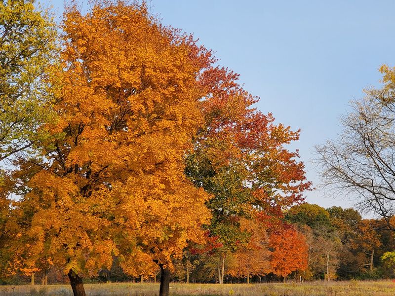
Near Trempealeau, Perrot State Park gives you a chance to leave the road for a while. The park sits among 500-foot bluffs where the Trempealeau and Mississippi rivers meet, with hiking routes climbing through wooded slopes and opening toward river views.
The park is open year-round from 6 a.m. to 11 p.m., although individual facilities can keep shorter seasonal hours. A Wisconsin state park vehicle admission sticker is required, so account for that before treating this as a quick roadside stop.
You can make the visit as active or easy as the day allows. A short walk near the river works when several towns are still ahead, while a longer trail gives you more time under the canopy when autumn color is spreading across the bluffs.
Perrot also connects directly with the Great River State Trail for bicyclists, and a marked canoe trail runs through Trempealeau Bay. Canoe rentals are available seasonally, giving you another way to see the river landscape when conditions cooperate.
The practical decision here is time. If you have an hour, stay closer to the river and keep the route moving. If you have half a day, let Perrot absorb it and shorten the mileage afterward.
7. Grandad Bluff Opens A Wide View Above La Crosse
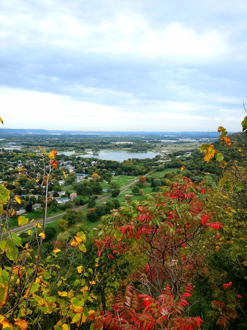
La Crosse brings the route into a larger city without losing the bluff-country setting. Grandad Bluff rises above the city at 1,184 feet in elevation, with overlooks facing across La Crosse and the Mississippi River Valley toward Minnesota and Iowa.
Grandad Bluff Park is at 3020 Grandad Bluff Road, La Crosse, WI 54601. City parks are open daily from 6 a.m. to 11 p.m., and the developed summit area includes parking, walkways, restrooms, a shelter, and scenic overlooks.
You can drive to the top, which makes this one of the easier high viewpoints to add when a full hike is not part of the plan. Bluff-side trails are also available if sitting in the car has started to feel like the day’s main activity.
Autumn brings color into the wooded slopes and neighborhoods below, while the Mississippi cuts a bright line through the valley. The extra elevation also helps you see how the river, city, and surrounding ridges fit together.
If sunset is approaching, this can be a natural stopping point for a shorter day. If you are continuing south, protect some daylight for the river towns beyond La Crosse rather than stretching every overlook until dusk.
8. Wyalusing Brings Two Rivers Into The Same View
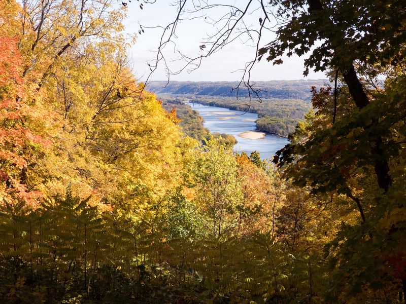
Farther south, the Great River Road continues through river communities including Genoa, Ferryville, and Prairie du Chien before Wyalusing State Park adds another major bluff-top stop.
Wyalusing sits about 500 feet above the confluence of the Wisconsin and Mississippi rivers. Bluff-top overlooks look down toward both waterways, while hiking trails, campsites, picnic areas, and forest give you several ways to turn the stop into more than a quick photograph.
The park is open year-round from 6 a.m. to 11 p.m., and a vehicle admission sticker is required. Camping is available if you want to split the Wisconsin Great River Road into two days instead of forcing the entire route into one long push.
That overnight option can make fall planning easier. Northern and southern sections do not always reach their strongest color at the same time, and weather can change the look of the river valley within only a few days.
If you arrive with an hour, keep the visit focused on bluff-top scenery. With more time, add one trail instead of trying to cover every part of the park.
The confluence gives you a different river scene from Prescott at the northern end, where the St. Croix joins the Mississippi. Here, the Wisconsin River enters from the east before the Great River Road continues toward the state’s southwestern corner.
9. Cassville Brings History And Wooded Bluffs To The Southern Stretch
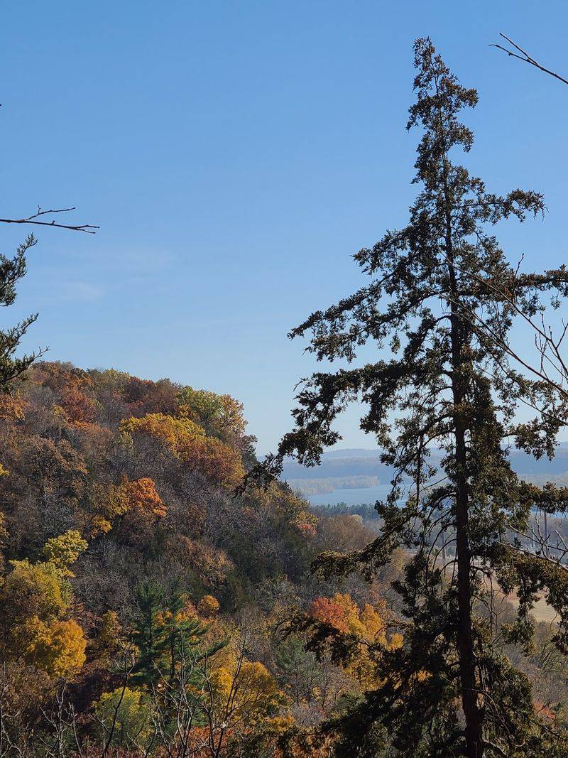
Cassville adds another small-town pause as the Great River Road moves through southwestern Wisconsin. It is one of the state’s older Mississippi River communities, with wooded bluffs rising behind town and the river staying close to the route.
The seasonal Cassville Car Ferry gives the river a practical role rather than leaving it as scenery alone. Nearby Nelson Dewey State Park climbs into the bluffs above the Mississippi, with trails, picnic areas, and overlooks.
Stonefield adds another layer nearby with its recreated rural village and agricultural history.
You can treat Cassville as a quick river-town stop or give it several hours. If the southern half of the drive has started feeling like a race toward the finish, this is a good place to slow the mileage back down.
10. Two Days Give The Road Trip More Room
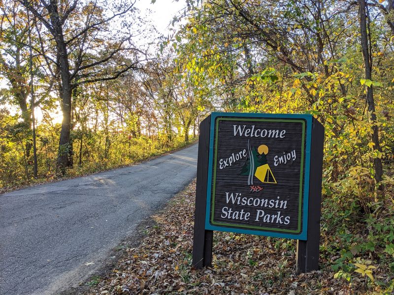
Driving all 250 Wisconsin miles in one shot is possible, but it leaves little room for the stops that make the route useful in fall. The road works better when towns, overlooks, state parks, and shoreline walks are allowed to interrupt the mileage.
A two-day plan gives Lake Pepin, Alma, and the northern river towns their own pace while leaving Perrot, La Crosse, Wyalusing, and the southern stretch enough daylight. A single-day version is easier when you choose one region rather than trying to touch both ends.
Fall color can shift quickly across western Wisconsin, so use current foliage conditions as a guide rather than expecting every stop to peak together. Latitude, elevation, wind, and recent weather all affect timing.
Bring layers, water, comfortable walking shoes, and a little spare daylight in the schedule. Wisconsin state parks require vehicle admission, while village and city stops follow their own parking and facility rules.
The road itself is easy to follow. The harder part is deciding when not to keep driving.
Leave one stop unplanned. A quiet pier, a patch of color above the river, or a small town you meant to pass through can easily become the place where the keys stay in your pocket a little longer.