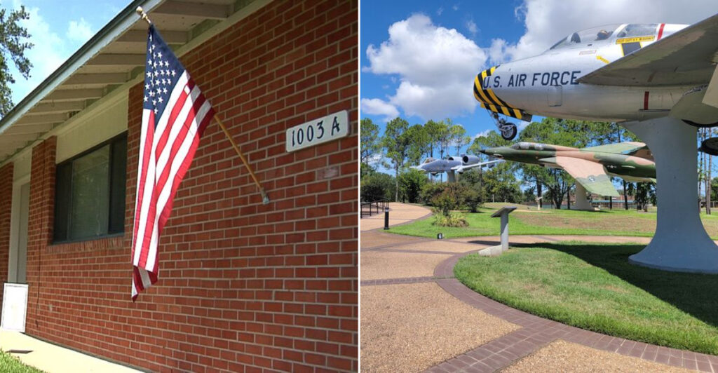
Some former military sites feel frozen in place. This one kept moving. Northwest of Alexandria, old runways, broad roads, hangars, homes, and wide-open spaces now share the same landscape with businesses, recreation, and everyday civilian life.
The property began as an Army air base in 1942, became an Air Force installation in 1955, and closed in 1992. What makes visiting interesting is how much of that original order still survives beneath the newer uses.
Historic military infrastructure, active aviation, and large-scale redevelopment make this one of Louisiana’s most unusual examples of base reuse.
I would explore with an eye for the layout rather than expecting a traditional attraction. The long roads, carefully spaced buildings, and enormous stretches of pavement tell the story just as clearly as any plaque.
It is less about ruins than transformation: a defense complex gradually rewritten as a civilian community without completely erasing the geometry of its past.
Roads Drawn With Military Precision

Wide roads make the first impression, with long sightlines and an orderly pattern that feels different from a typical Louisiana neighborhood. Their scale reflects a site planned to move military personnel, vehicles, and equipment efficiently, rather than a town that grew one storefront at a time.
England Airpark traces its roots to Alexandria Army Air Base, established during World War II. Renamed England Air Force Base in 1955, it served until 1992, leaving a street network that still reads like a carefully drawn diagram.
Drive slowly and follow posted signs because active airport, residential, and business areas overlap. Starting near 1611 Arnold Drive helps provide context, but visitors should remain on public roads and respect marked access limits throughout the property.
Airbase Road Still Feels Like The Front Gate

England Airpark and Community spreads across the former England Air Force Base northwest of Alexandria, Louisiana, with 1611 Arnold Drive serving as the official Airpark address. From I-49, take Exit 90 for LA-498/Airbase Road, which leads directly toward the former base and Alexandria International Airport.
Stay on Airbase Road as it becomes England Drive and carries you into the old military layout. Wide roads, aviation facilities, former base buildings, housing, and open land spread across the property, so Arnold Drive is better treated as an arrival anchor than as the only destination.
Continue from England Drive onto Arnold Drive to reach the England Authority area at 1611. Parking depends on which part of the Airpark you plan to explore, so use designated lots at individual businesses, community facilities, or public destinations rather than stopping along the broad internal roads.
Runways Still Lead The Story

An arriving aircraft quickly explains why the former base never lost its connection to flight. Alexandria International Airport now occupies the historic airfield, placing commercial aviation at the center of a property once shaped around Air Force operations.
The broad runways and generous open margins carry a scale that feels distinctly military. Modern passenger service has changed the purpose, yet the airfield remains an unmistakable reminder that aircraft once determined nearly every practical decision made here.
Travelers can appreciate that contrast from public airport areas without entering restricted operational zones. Check current flight and parking information through official airport channels before arriving, especially when catching a scheduled departure.
Aviation photography should also stay within permitted spaces and never block traffic.
Hangars Outlast Their Original Mission

Oversized hangar doors provide a wonderfully blunt history lesson: ordinary buildings do not need openings large enough for aircraft. Several substantial aviation and industrial structures remain around England Airpark, preserving the practical look of the former installation.
Some buildings have found new roles within the mixed-use development, while their size and plain construction continue to reveal what they were designed to do. Adaptive reuse here is less about hiding the past and more about giving durable infrastructure another working life.
View these structures from public streets or authorized areas because many support active businesses and aviation functions. A camera with modest zoom can capture architectural details safely.
Weekday activity may be heavier, so remain alert for service vehicles and posted restrictions.
Neighborhoods Fill Former Base Ground

Lawns, homes, and quiet side streets soften the hard edges of the old airfield, but the planned layout still gives away the property’s earlier identity. Residential areas including England Oaks, England Estates, and England Village occupy parts of the former base footprint.
Seeing everyday life beside aviation and commercial facilities makes the conversion especially striking. Families and residents now use land once organized around military duties, creating a community where historical infrastructure forms the background rather than the main event.
Remember that these are lived-in neighborhoods, not museum displays. Admire the layout from public roads, avoid photographing residents closely, and never enter yards or private facilities.
The most respectful visit is observant, quiet, and focused on shared spaces.
A Golf Course Softens The Landscape

Green fairways offer an unexpected pause among runways, warehouses, and broad transportation corridors. Oak Wing Golf Club is an 18-hole course within the airpark, adding recreation to land better known for aviation and military history.
The course shows how redevelopment can involve more than replacing one building with another. Open ground within a former installation can support leisure, scenery, and community activity while keeping the wider landscape spacious.
Mature trees and carefully maintained greens also provide a visual counterpoint to nearby industrial forms.
Golfers should consult the club directly for current tee times, fees, dress expectations, and course conditions. Nonsporting visitors should not wander onto fairways.
Safe public viewpoints and designated facilities offer the proper way to enjoy this quieter side.
Commerce Moves Into Commanding Spaces
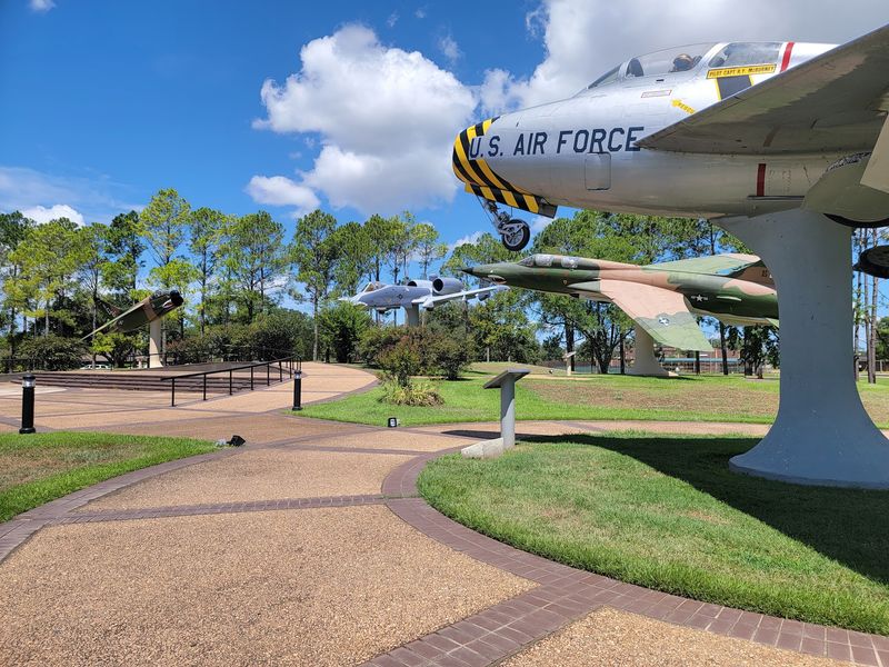
Warehouse walls and office entrances now stand where a single military mission once guided the property. England Airpark has become a mixed-use business center, using its available land, large buildings, and transportation access to support varied commercial activity.
The transition feels practical rather than polished for show. Infrastructure created for logistics remains valuable because businesses also need room, reliable routes, and connections beyond the property.
Nearby Interstate 49 strengthens road access, while regional rail and port connections broaden the airpark’s role in Central Louisiana commerce.
Most working areas are not tourist attractions, so plan any business visit through the appropriate office. Watch for trucks, obey security signs, and avoid stopping beside loading zones merely to photograph an interesting former military building.
Open Space Preserves The Scale

Distance behaves differently here. Buildings that appear close can sit across wide fields, broad pavement, or long blocks inherited from a 4,000-acre installation designed around aircraft and military operations.
That spaciousness may be the strongest surviving feature of England Air Force Base. Even where buildings have changed uses, the gaps between them preserve a sense of planning on an institutional scale.
I found the low horizon especially revealing because it keeps the airport, roads, and scattered structures visually connected.
Louisiana heat and sudden rain can make outdoor observation uncomfortable, so carry water and check the forecast. Use legal parking areas rather than roadside shoulders.
Morning or late afternoon light makes the site’s unusual proportions easier to see and photograph.
Closure Became A New Beginning
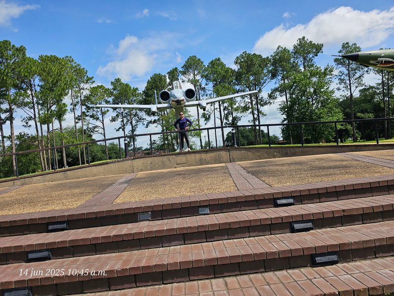
Base closure could have left an enormous empty patch northwest of Alexandria. Instead, the end of England Air Force Base in 1992 started a long conversion into an airport, employment center, residential community, and recreation area.
That change did not erase the disruption caused when military activity ended, but it demonstrates how specialized land can gain several civilian purposes. The property now works like a small district, with aviation, commerce, housing, and green space sharing infrastructure built across decades.
Expect a functioning community rather than a preserved historic attraction. There is no single walking route that explains everything, so review an official map beforehand.
Current business hours, road conditions, and access rules should guide any planned stop at 1611 Arnold Drive.
Visit With Curiosity And Care
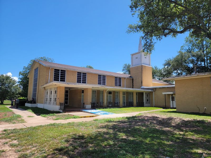
A good visit begins by accepting that England Airpark is neither an abandoned base nor a traditional sightseeing stop. It is an active place where passengers, workers, residents, golfers, and service vehicles follow very different daily schedules.
Use 1611 Arnold Drive for the community’s administrative location, then rely on current official directions for the specific facility you need. Public roads reveal plenty of the former base character, including wide lanes, disciplined spacing, large structures, and aviation activity, without requiring access to private property.
Bring identification if your planned destination requests it, allow time for airport traffic, and observe every posted boundary. A patient drive provides the clearest impression: military order remains visible, while ordinary civilian life keeps rewriting the purpose of the grounds.