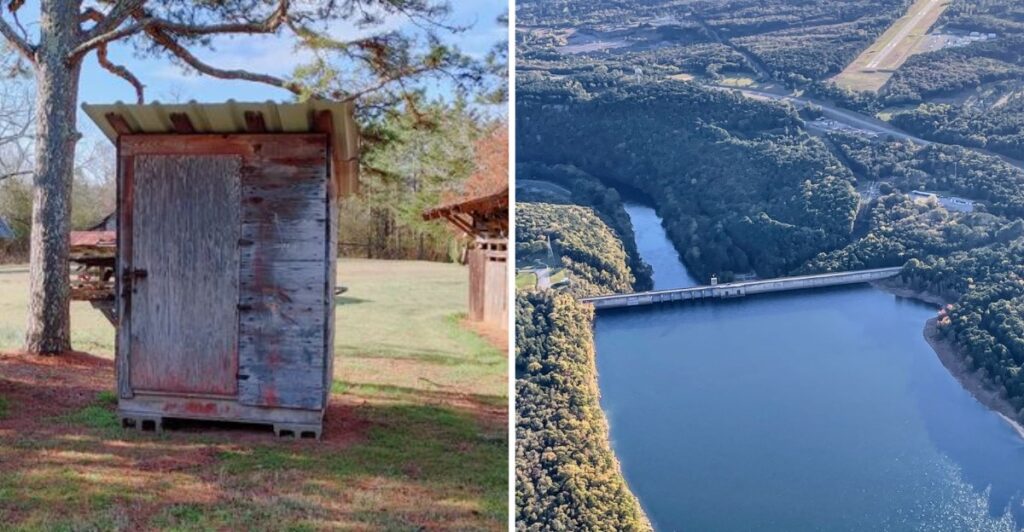
This Arkansas lake is hiding more than fish beneath the surface.
The water looks peaceful now, but parts of the shoreline tell a much newer story. Roads once ran through places that are now underwater, and one small community had to make a decision most towns never face.
The reservoir changed the landscape fast, but not everything simply disappeared. Some of the history moved. Some of it stayed behind beneath the lake.
Today, boaters and hikers can spend hours around the water without realizing what used to sit below it.
That is what makes this place so interesting. The lake may look quiet, but its past is still down there.
The Lake Created A New Arkansas Landscape
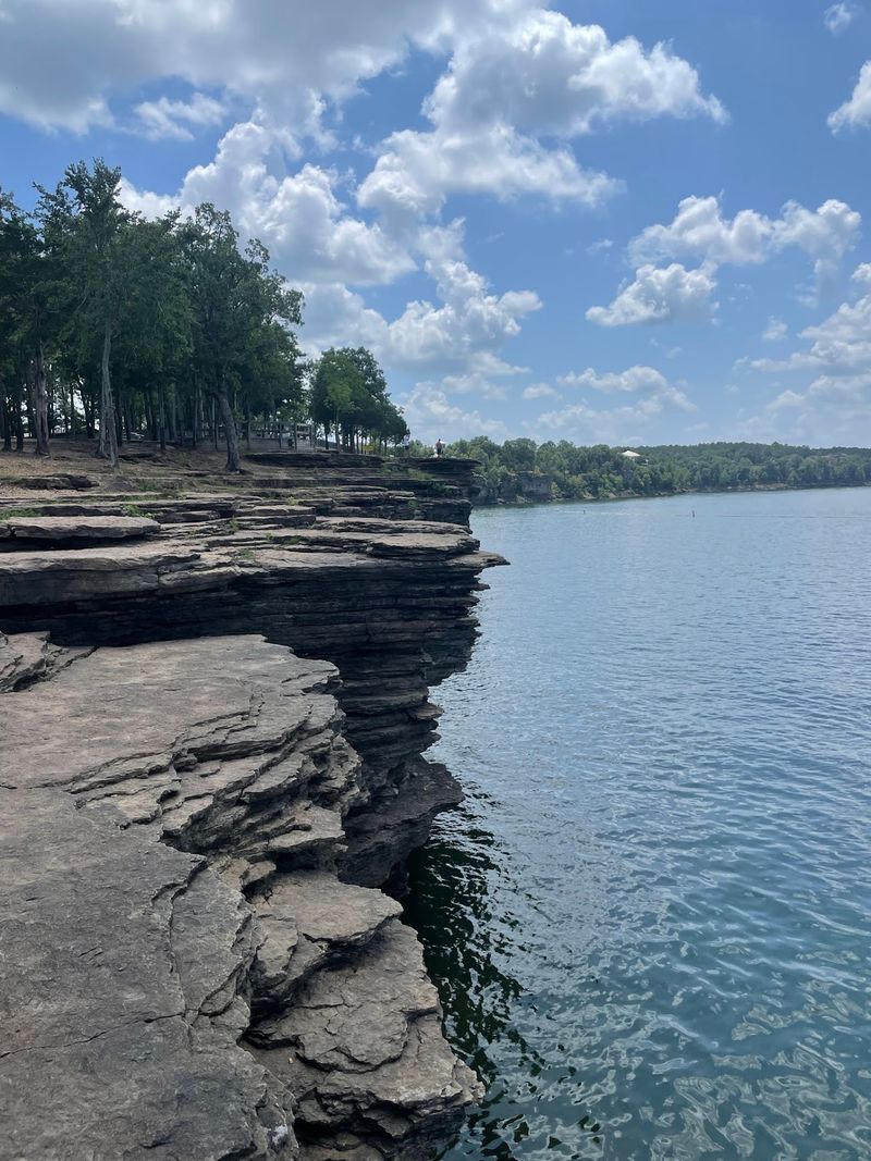
Greers Ferry Lake was created by damming the Little Red River in north-central Arkansas. The U.S. Army Corps of Engineers built Greers Ferry Dam as part of a larger White River Basin system designed for flood control and hydroelectric power generation.
At the lake’s conservation pool, the reservoir covers about 31,500 acres and has roughly 272 miles of shoreline.
Water levels can change, so the lake’s footprint becomes larger when it rises toward flood-control levels.
At higher water levels, the reservoir spreads beyond its normal conservation-pool footprint.
Long arms of water reach into Cleburne and Van Buren counties, with roads, parks, and communities spread around different sections of the reservoir. At flood-control level, the shoreline reaches about 343 miles, compared with 272 miles at conservation pool.
Before the reservoir existed, this was a landscape shaped by the Little Red River and the communities built around it. Farms, roads, schools, businesses, and homes occupied land that would later be affected by the project.
That earlier geography is easy to forget when you see open water. Creating the lake required people to relocate and communities to adjust to a new shoreline.
Old Higden Had Already Survived A Major Fire
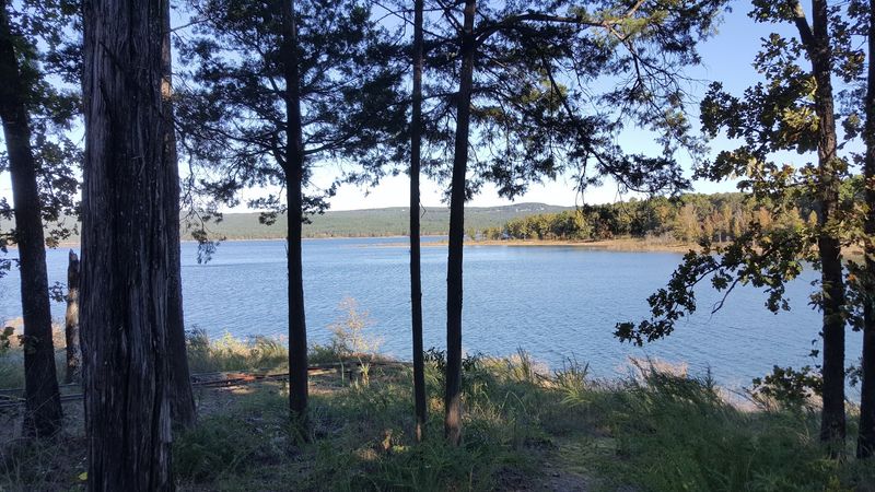
Higden had a history long before Greers Ferry Lake appeared. During the early twentieth century, the town supported businesses tied to everyday life and the timber economy.
Then a major fire in 1916 destroyed most of the town. Only a small number of businesses rebuilt afterward, leaving Higden much smaller than it had been during its earlier years.
Decades later, residents faced a different kind of change that could not be solved by rebuilding in the same place.
In the 1950s, the U.S. Army Corps of Engineers met with Higden officials and residents as plans for Greers Ferry Dam moved forward.
The message was direct: once the dam was completed and the reservoir filled, the existing townsite would be covered by about 60 to 80 feet of water.
Imagine learning that the streets around your town would soon become lakebed. This was not a temporary flood; the geography itself was about to change.
Their answer was not to abandon the community name. Higden prepared to move.
Higden Chose Higher Ground In 1959
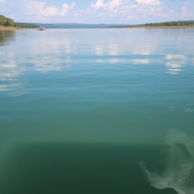
In 1959, Mayor David Gadberry and Higden’s aldermen voted to relocate the town to higher ground. The new site covered about 13 acres and had once been the location of the Higden schoolhouse.
The move allowed the community to continue after the old townsite fell inside the reservoir area. Modern Higden remains in Cleburne County along Highway 16, near the west end of the bridge that crosses part of Greers Ferry Lake.
The town still carries the same name, but its relationship to the landscape changed completely once the reservoir became part of everyday life.
The modern community continued on higher ground while the former townsite became part of the lakebed. There is a living community above the water and an older townsite below it.
By 1961, Higden voted to pave its streets, and later decades brought a city water system and additional development.
If you drive through modern Higden now, the lake is part of the town’s identity rather than simply the force that displaced its earlier location. The same reservoir that required the move later brought lakeside development and new activity to the surrounding area.
Other Communities Were Changed By The Rising Reservoir
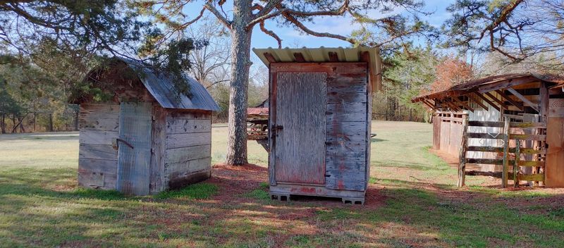
Higden was not the only community affected when the reservoir formed. Miller, Shiloh, and Edgemont were also among the communities whose former areas were submerged as Greers Ferry Lake filled.
Edgemont offers another clear example of relocation. In the 1950s, residents were told that the existing town would also be beneath roughly 60 to 80 feet of water after the dam was completed.
The community moved about one mile north, and the remains of old Edgemont are now beneath the lake.
Some residents moved away entirely, while others stayed as close as possible to their former homes.
The city of Greers Ferry emerged from that transition. It was incorporated in 1968 and included families connected to older communities in the area.
Its growth shows how the reservoir did more than cover land; it rearranged where people lived and where businesses developed.
As you travel around the lake today, parks, roads, and communities occupy the new shoreline while parts of the older landscape remain below the water.
The lake may look permanent now, but the communities around it are still living with a geography created only a few generations ago.
Greers Ferry Dam Was Built For Flood Control And Power
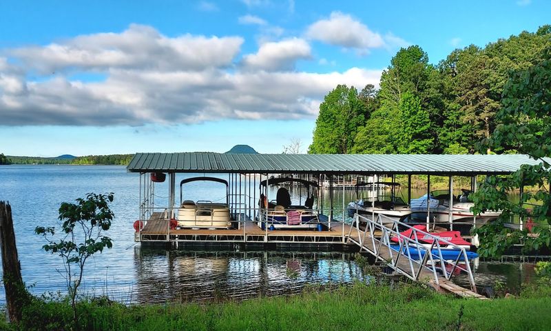
Frequent flooding along the Little Red River helped drive the push for a dam. High water could cause problems locally and contribute to flooding farther downstream in the White River system.
Greers Ferry Dam became part of the broader White River Basin flood-control program. Major construction began in March 1959 and the concrete dam was completed in December 1962. Work on the powerhouse and switchyard continued until July 1964.
The structure itself is substantial. The main concrete dam is 1,704 feet long and rises 243 feet above the Little Red River streambed. Two auxiliary earthen dams are also part of the project.
Hydroelectric generation became another major function. Two generating units are rated at 48,000 kilowatts each, using the stored water to produce electricity while the larger project continues to manage flood storage.
The project changed river flow, created a reservoir, required land acquisition, and forced relocations in low-lying communities.
Standing near the dam today, you can see the structure that made the modern lake possible. The earlier roads, homes, and settlements require more imagination.
President Kennedy Dedicated The Dam In October 1963
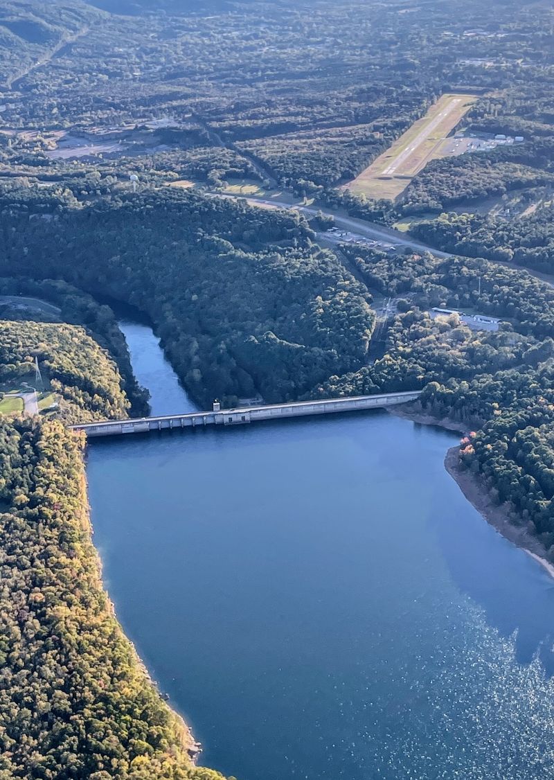
Greers Ferry Dam entered the national spotlight on October 3, 1963, when President John F. Kennedy traveled to Arkansas to dedicate the completed dam.
The ceremony took place after the main dam construction had finished but before the entire powerhouse project was complete.
Kennedy joined U.S. Army Corps of Engineers officials and Arkansas leaders at the site, marking the project as an important part of the region’s flood-control and power infrastructure.
The appearance became one of Kennedy’s last major public events, adding another layer to the dam’s history.
You can still connect that presidential visit to the landscape around the dam. The JFK Overlook and Memorial near the project recalls the 1963 dedication, while the nearby visitor center includes material related to the dam’s history.
By then, the Little Red River had been transformed into a reservoir, communities had moved from low ground, and a new recreational landscape was taking shape.
This part of the lake brings engineering, relocation, hydroelectric power, and a presidential visit into the same landscape.
The Visitor Center Connects The Lake To Its Earlier Story
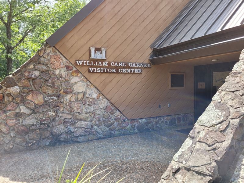
The William Carl Garner Visitor Center gives you a place to put the lake’s pieces together before or after exploring the shoreline.
Its exhibits move through local history, the events that led to the construction of Greers Ferry Dam, hydropower, wildlife, and the development of the lake.
The center also includes an interactive hydroelectric exhibit and a program about the Little Red River and the Corps of Engineers in the area.
You can find the William Carl Garner Visitor Center at 700 Heber Springs Road North, Heber Springs, AR 72543, adjacent to Greers Ferry Dam. It is currently open Thursday through Sunday from 10 a.m. to 4 p.m., with free admission.
Two nature trails sit nearby. The short Buckeye Trail is wheelchair accessible, while the 1.6-mile Mossy Bluff Trail follows a wooded bluff overlooking the Little Red River below the dam.
The trails give you a way to move from exhibits about the project to the river landscape itself without driving to another part of the lake.
From the visitor center, you can pair the indoor exhibits with a walk outside and see the river, dam, and wooded terrain in the same visit. That combination makes the history easier to connect with the landscape around you.
You can spend time with the history, step outside for a walk, and then look back toward the dam with a clearer picture of what changed here.
Greers Ferry Lake now appears settled into the Arkansas landscape, but Higden’s story reveals how recent that landscape really is. The town moved uphill, the water covered its former site, and a new geography took its place.