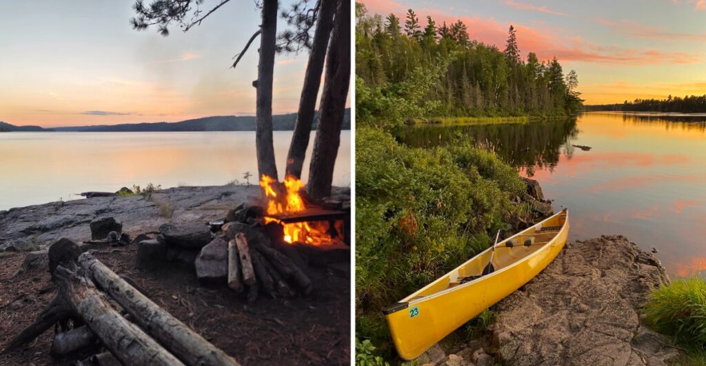
If I hand you a map covered in blue and say, “That’s the route,” do not panic.
The blue is the route.
Up here, lakes take the place of roads, and a canoe gets you farther than a set of car keys ever could.
Minnesota gives you water in every direction.
Paddle across one lake. Carry the canoe through the woods. Drop it into the next and keep going.
Then you do it again.
A trip can last a night or keep unfolding for days, depending on how much paddling and portaging sounds reasonable to you.
Weather gets a say too. Wind can slow things down, and the perfect campsite may not appear exactly when you hoped.
So keep the route flexible and save some energy for the portages.
By the third portage, I’d be asking who exactly decided the canoe needed a hiking break.
Over A Million Acres To Explore
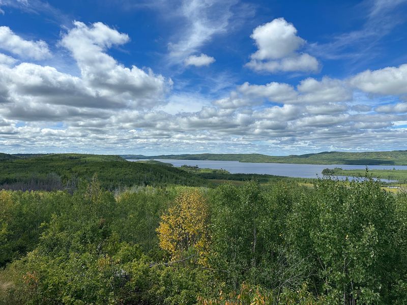
The Boundary Waters covers more than 1.098 million acres in the northern third of Superior National Forest. That size leaves room for long canoe routes, backcountry campsites, hiking trails, and large stretches with no road running through the interior.
A short trip can stay close to an entry point, while a longer route can link multiple lakes over several days. The distance on a map can look modest until portages, headwinds, and campsite searches are added to the day.
Build the route around realistic travel rather than the longest possible mileage. Wind can make a large lake slower to cross, and a portage that looks short on paper still means unloading gear, carrying it over land, and launching again.
Maps and a compass remain basic trip tools here. GPS can help, but a paper map does not depend on battery life or reception. Keep the day’s route visible, note the next portage before leaving shore, and know which direction you need if the weather changes.
Leave extra time in the plan. A shorter mileage target gives you more room for weather, fishing, swimming, a longer lunch, or an earlier campsite.
More Than A Thousand Lakes Shape The Route
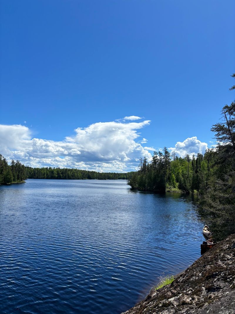
More than 1,000 lakes are linked by rivers, channels, and portage trails, creating a network that can be traveled in many different combinations.
Some lakes are broad and exposed, while others are smaller and more protected by forested shorelines. That difference matters when you are choosing both distance and timing. Wind on a large lake can change the pace of the day much faster than it can on a narrow channel.
Fishing is part of many trips. Walleye, northern pike, smallmouth bass, lake trout, and other species are found across the region, but rules vary by water body and season. Check current Minnesota fishing regulations for the specific lakes on your route before casting.
Swimming can fit naturally into a warm-weather trip, but northern water temperatures can stay cool even during summer. Pick a safe landing or shoreline, keep changing weather in mind, and do not treat a sunny afternoon as a guarantee of warm water.
When choosing your first campsite lake, think about exposure as much as scenery. A smaller lake may be easier to reach late in the day, while a larger one may require more time if the wind builds.
Paddle Routes That Stretch For 1,200 Miles
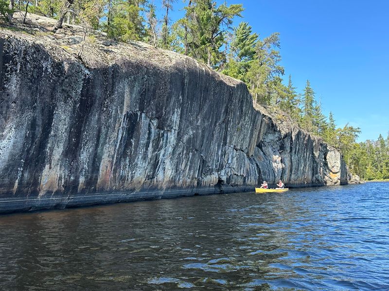
The Boundary Waters contains more than 1,200 miles of canoe routes. Those routes connect lakes through rivers, narrows, channels, and portages, giving paddlers many ways to build loops or point-to-point trips.
A route with fewer portages may be simpler for a first visit. A route with several short carries can open up more lakes without adding long stretches on foot. Longer portages can make sense when they connect quieter sections or help avoid exposed water.
Morning can be a useful time to cover open water when conditions are favorable, but weather rather than the clock should decide when you launch. If the wind is already building, waiting or changing the day’s plan can be the better choice.
Trip distance should include the land sections too. A one-mile portage is not just one mile of travel if you need multiple carries for packs, food, and the canoe.
For route support, Ely and Grand Marais are common gateways to different parts of the wilderness, with outfitters, permit services, maps, rentals, and trip-planning help available in both areas. Decide which entry point fits your route before arranging the rest of the trip.
Carry Your Canoe Where Cars Can’t Go
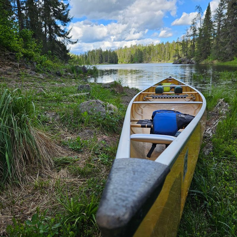
Portaging is part of the basic rhythm of Boundary Waters travel. A portage is a trail connecting two bodies of water, and it turns a paddling route into a mix of water and land.
Distances are commonly measured in rods. One rod equals 16.5 feet, so a portage marked at 80 rods is a quarter mile. Learning that conversion makes route maps easier to read before the trip begins.
At a landing, unload the canoe, organize the packs, and carry everything to the next lake. Light, well-organized gear can reduce the number of trips back and forth, especially on longer carries.
Footwear matters because landings may be wet, muddy, rocky, or uneven. Quick-drying shoes with grip are more useful than footwear chosen only for the canoe.
Portages can also slow the pace enough to change how you plan meals and campsites. A day with several carries may cover less water than a route with the same total mileage and fewer transitions.
Keep the next lake and next campsite in mind before beginning a late-day portage. Finishing the carry is only one part of the plan. You still need enough daylight and energy to launch, paddle, and find an open designated site.
Thousands Of Designated Campsites
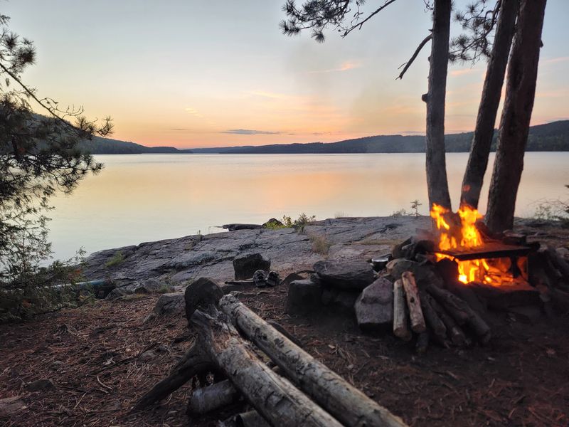
More than 2,000 designated campsites are spread through the Boundary Waters. Many are reached by water, and designated sites typically include a fire grate and a wilderness latrine.
Campsites are used on a first-come, first-served basis once you are inside the wilderness. Because a particular site may already be occupied, plan more than one possible stopping point on the lake or along the day’s route.
A permit is always required to enter the Boundary Waters Canoe Area Wilderness. From May 1 through September 30, overnight paddle trips, overnight hiking trips, overnight motor trips, and motorized day trips require quota permits.
Non-motorized day use uses self-issued permits year-round, while overnight visitors from October 1 through April 30 also use self-issued permits.
Permit holders need to enter on the date and at the entry point shown on the permit. Current rules also limit groups to nine people and four watercraft.
Leave No Trace practices matter at every campsite. Pack out trash, use established tent areas when possible, keep food managed carefully, and follow current fire restrictions before using a fire grate.
For Forest Service trip-planning help on the Ely side, the Kawishiwi Ranger District office is at 1393 Highway 169, Ely, MN 55731. Treat that as a planning office, not as the address of the wilderness itself.
Nearly 150 Miles Along Canada
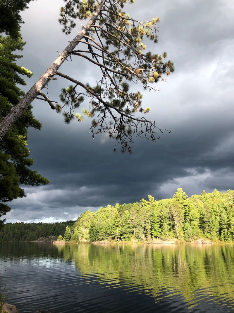
The Boundary Waters extends nearly 150 miles along the international boundary with Canada. Across that line, Quetico Provincial Park continues the lake-and-portage landscape into Ontario.
On some border lakes, the international line runs through the water. Staying on the United States side keeps the trip within Minnesota, while entering Canada requires current Canadian customs and park arrangements.
Those requirements changed in 2026. The former Remote Area Border Crossing permit program closed on September 14, and eligible travelers entering Canada through designated remote Quetico locations may use telephone reporting with the Canada Border Services Agency.
Anyone planning to enter Quetico should check current Canadian procedures before departure.
The border route also carries older travel history. French-Canadian voyageurs moved through this region during the fur trade, using canoes and portages across the same broader network of lakes and rivers.
Wildlife moves through the region without regard to that boundary. Moose, black bears, wolves, bald eagles, and loons are among the species found in and around the wilderness.
Food storage deserves attention in bear country. Follow current Forest Service rules and keep food, trash, and scented items managed in a way that does not draw animals into camp.
Paddle-Only Water Still Defines Much Of The Wilderness
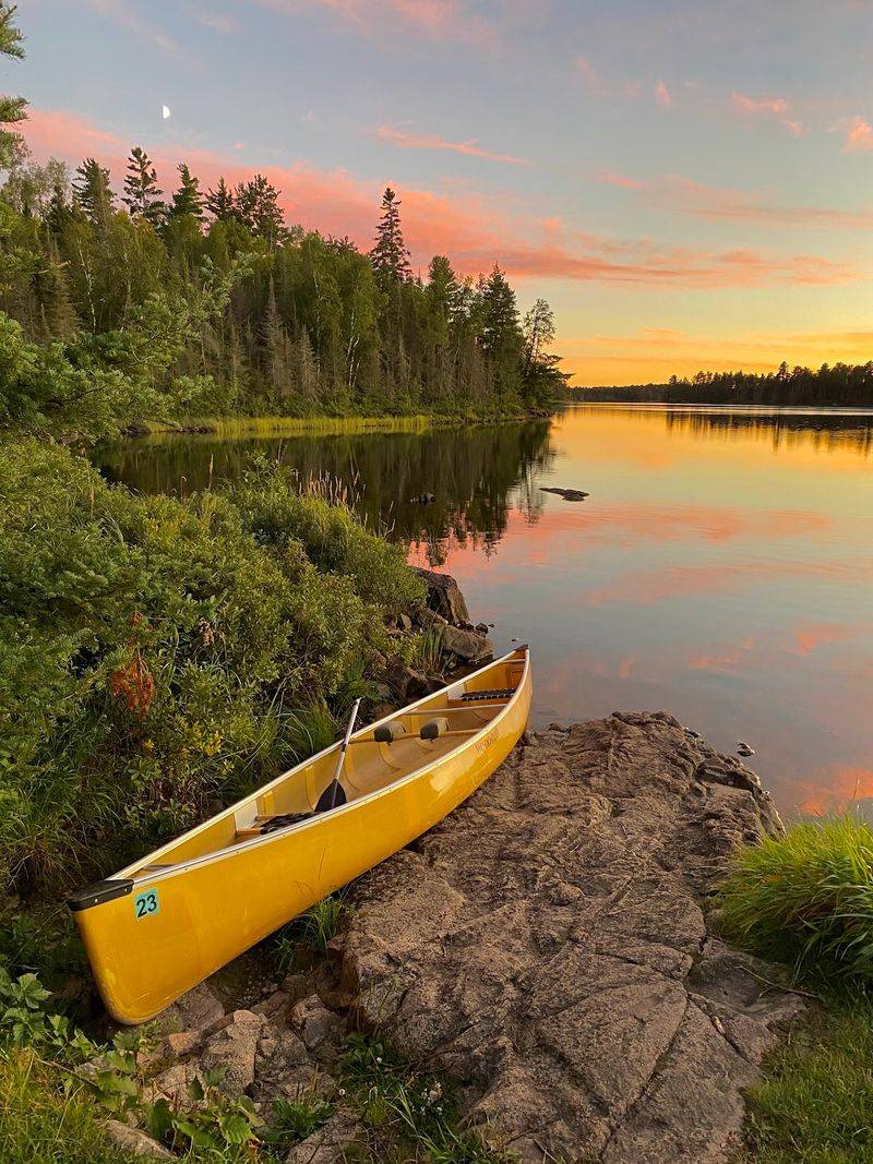
Motorboats are prohibited across much of the Boundary Waters and allowed only on certain designated lakes or portions of lakes. Where motors are permitted, horsepower limits and permit requirements can vary.
That makes lake-by-lake planning important. If your route depends on motor access, confirm the rules for each section before booking permits or arranging transportation.
Paddle-only water changes the practical rhythm of a trip. Progress depends on your route, wind, portages, daylight, and the amount of gear you are carrying rather than on engine speed.
Navigation should not depend on phone service. Bring a paper map and compass, keep them accessible in the canoe, and leave a trip itinerary with someone outside the wilderness before you enter.
Once camp is set, keep the next morning simple. Cook, check the map, organize gear, and watch the weather before deciding how early to move.
Choose a route that matches your experience, secure the correct permit, and give yourself enough time to handle wind and portages without rushing.
A carefully planned few days can cover only a small part of the Boundary Waters, so route choices matter from the first launch to the final carry.