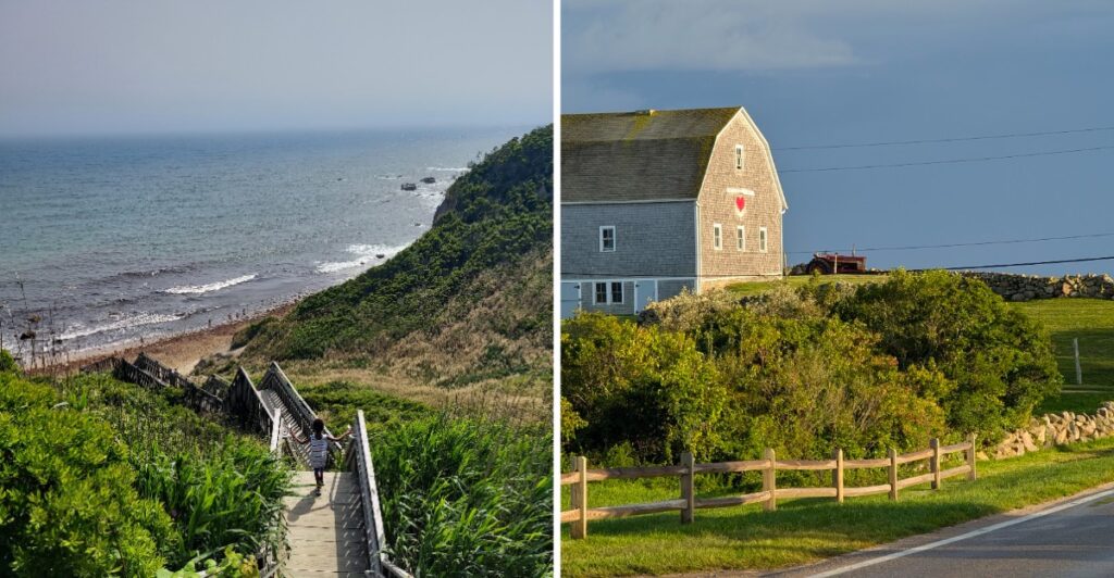
Here is a rare Rhode Island luxury: nobody can run a red light because there are no red lights.
Not one.
The ferry drops you into a place where 25 mph counts as plenty, green hills roll toward the water, and rushing starts to feel slightly ridiculous.
The island is small, but do not mistake that for empty.
A road may lead toward the beach, climb toward a bluff, or tempt you down a side route simply because it looks more interesting than whatever you planned next.
Cars share the pavement with bicycles, mopeds, and plenty of people on foot. Some roads narrow. Others lose the pavement altogether.
So forget trying to conquer the map.
With no traffic lights, there is really no reason to race.
The Island Has No Traffic Lights And That Is Part Of Its Appeal
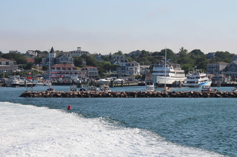
Block Island has no traffic lights, but it still has the same need for careful driving you would expect anywhere with mixed traffic.
The maximum speed limit is 25 mph, roads can be narrow, and cars often share them with bicycles, mopeds, and pedestrians.
That makes attention more useful than speed. Give cyclists room, approach curves carefully, and expect people on foot near busier stretches and beach access points.
Some roads are paved while others are dirt or gravel. A route that looks short on a map may take longer once you factor in bicycles, parked cars, pedestrians, or a slow-moving line of traffic.
If you rent a bicycle or moped, learn the local rules before setting off. Bikes follow traffic laws, and mopeds come with additional operating restrictions.
For drivers, passing should wait until there is enough clear road to do it safely. For cyclists, predictable movement and visible hand signals matter.
There may be no signal telling everyone when to stop and go, so intersections demand the same basic habits as anywhere else: slow down, look carefully, and do not assume another traveler has seen you.
New Shoreham Covers The Entire Island
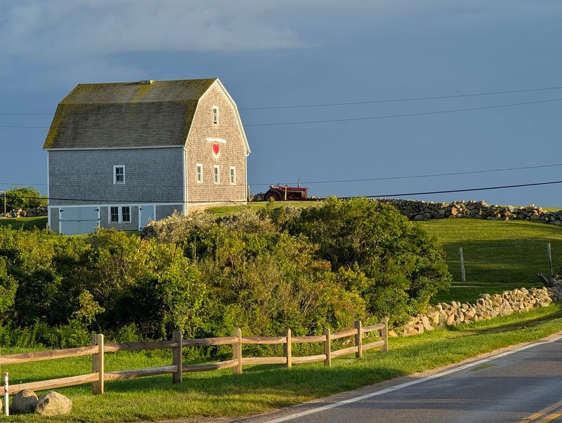
Block Island and New Shoreham are closely linked because the town encompasses the entire island.
The island measures just under 10 square miles, keeping beaches, trailheads, harbor areas, and inland roads relatively close together.
Block Island lies roughly 12 miles south of mainland Rhode Island, separated by enough open water that arriving by ferry immediately changes the rhythm of a day trip.
Instead of trying to circle every road, pick a section of the island and work outward.
Old Harbor makes a natural starting point for many ferry passengers, while the southern side draws travelers toward Mohegan Bluffs and Southeast Lighthouse.
The northern end leads toward quieter stretches of coast and North Light.
Nearly half of Block Island is preserved open space, which helps explain why so much of the map remains green rather than densely developed.
Freshwater ponds, fields, coastal shrubland, and protected natural areas break up the roads between settled pockets.
A bicycle can cover a surprising amount of ground, but distance is only part of the calculation. Hills, wind, summer traffic, and stops for beaches or trails can stretch the schedule.
Leave enough flexibility to change plans once you see what the island actually looks like beyond the harbor.
Seventeen Miles Of Beaches Ring The Island

Block Island has about 17 miles of beaches, giving you more than one way to build a shoreline stop into the day.
The coast is not uniform. Some beaches have easier access and seasonal facilities, while others are more exposed, rocky, or reached by smaller roads and paths.
Swimming conditions can vary too, so check posted warnings and lifeguard information before entering the water.
Fred Benson Town Beach is one of the more developed options, with seasonal amenities that make it practical when you want facilities nearby. Other stretches work better for walking, beachcombing, or simply stopping for a look at the shoreline.
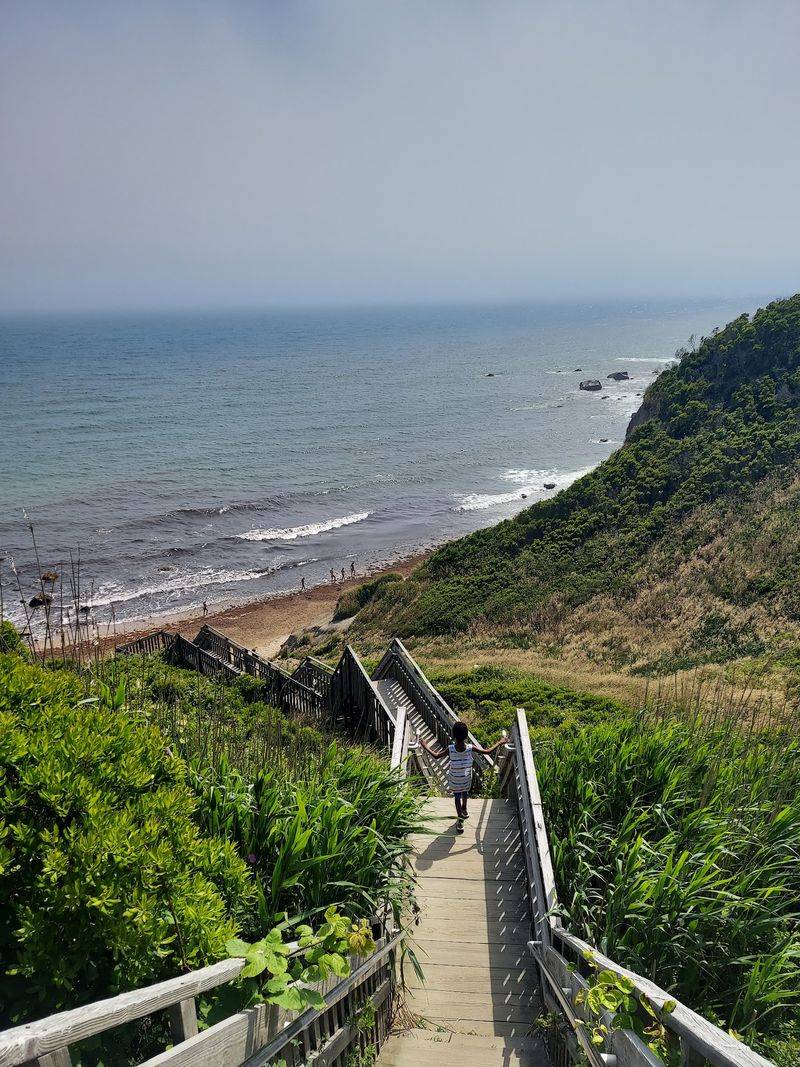
Mohegan Bluffs adds a very different kind of beach access. The cliffs rise about 200 feet above the ocean, and reaching the shore below involves a long staircase.
Pack for the specific beach rather than assuming every access point has the same setup. Water, sunscreen, footwear, and a light layer cover a lot of situations, while bulky gear can become awkward if stairs or a longer walk are involved.
If you are moving between several beaches, check the map before leaving Old Harbor. The coast wraps around the island, but access points and road conditions differ.
More Than 28 Miles Of Walking Trails Cross Preserved Land
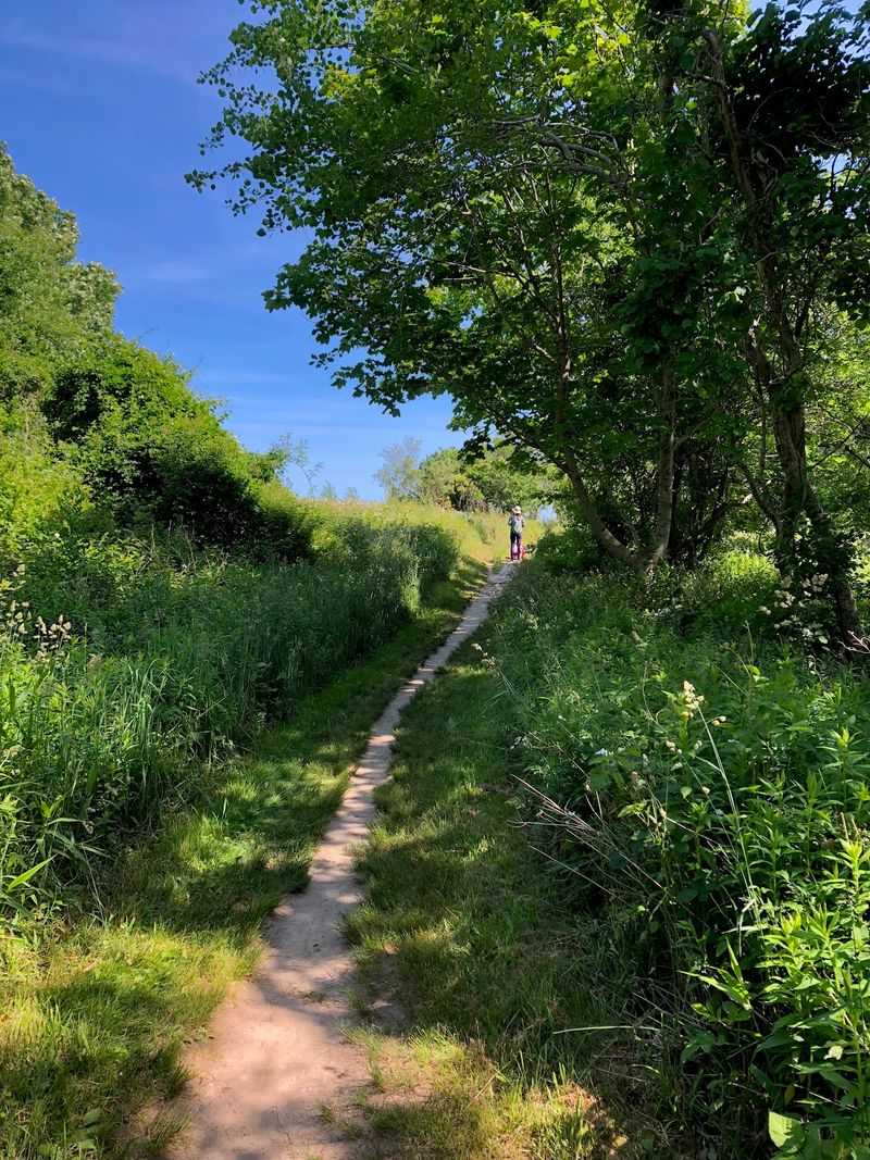
Block Island has more than 28 miles of public walking and hiking trails, a substantial network for an island under 10 square miles.
The Greenway system passes through conserved landscapes rather than following one continuous paved path. Depending on the route, you may cross fields, shrubland, wooded areas, glacial terrain, or stretches with views toward the coast.
Clay Head and Rodman’s Hollow are two useful names to know before choosing a walk. Clay Head includes coastal terrain and a branching network of paths known as the Maze. Rodman’s Hollow crosses a glacial outwash basin and connects different natural settings.
Trail surfaces and difficulty vary. Wear shoes that can handle uneven ground, bring water, and check a map before choosing a longer route.
Ticks are present in Rhode Island, so use appropriate repellent and check yourself after walking through grass or brush.
Bicycles are not permitted on Greenway trails, which makes route planning important if you are exploring the island by bike. Secure the bicycle where appropriate and continue on foot rather than treating walking trails as shortcuts.
Pair a southern walk with Mohegan Bluffs, or choose a northern route when your plans already take you toward that end of the island.
Old Harbor Is A Practical Starting Point
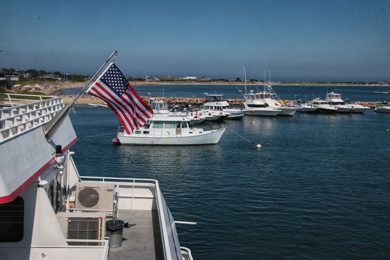
For many ferry passengers, Old Harbor is the first piece of Block Island they see up close.
The harbor area gives you immediate access to shops, transportation options, bike rentals, and visitor information, making it a useful place to get organized before heading farther inland.
The Block Island Visitor Center sits directly across from the Old Harbor ferry landing at 120 Water Street, New Shoreham, RI 02807.
Inside, you can pick up island information, maps, trail materials, and current guidance. The center operates year-round, although seasonal hours vary.
Lockers are available in the same building for a fee, which can be useful if you arrive with a small bag that you do not want to carry through the day. Public restrooms are nearby in the building, with availability changing during the winter season.
If you are visiting only for the day, decide early whether you are walking, biking, using a taxi, or combining several options. That one choice affects how far you can comfortably travel before the return ferry.
Keep your departure time in mind without building the whole day around the dock. Leave enough margin to return, especially during busy summer periods when roads and transportation can slow down.
Mohegan Bluffs And Southeast Lighthouse Anchor The South Side
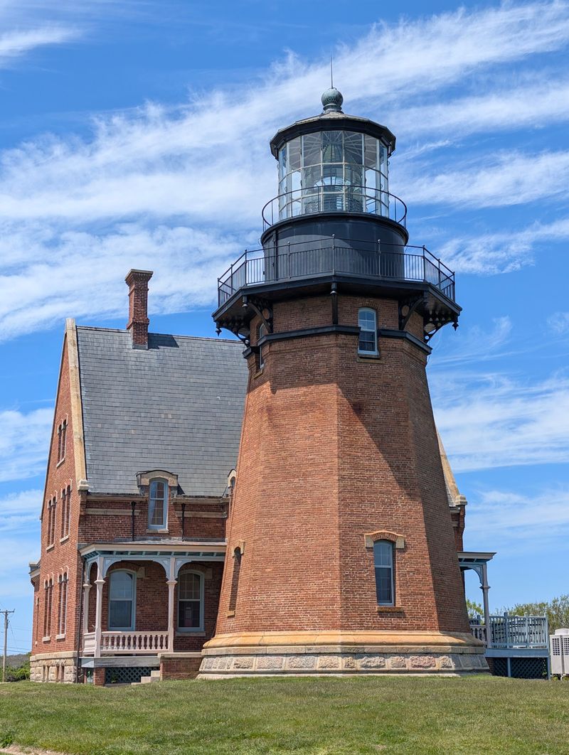
The southern end of Block Island brings two of its most recognizable landmarks close together: Mohegan Bluffs and Southeast Lighthouse.
The bluffs rise roughly 200 feet above the Atlantic, forming a steep coastal edge shaped by glacial deposits and ongoing erosion. A staircase provides access toward the beach below, but the climb back up deserves a little extra time in your schedule.
Stay within designated areas near the bluff edge. Coastal erosion is active here, and unstable ground is not a place to improvise a better viewpoint.
Southeast Lighthouse stands nearby. The lighthouse was completed in the 1870s and became an important navigation aid on the island’s southern coast.
Erosion eventually threatened the structure itself. In 1993, the lighthouse was moved about 300 feet inland to protect it from the retreating bluff.
The lighthouse, open ocean, and high bluff occupy the same compact corner of the island, making the area practical to combine in one outing.
Check current access before planning to enter the lighthouse or museum, since interior availability and tours can vary by season.
Useful Tips Before You Start Planning Your Visit
Block Island is reached by sea or air, with ferries providing the main connection for many visitors.
Ferry routes and seasonal schedules vary depending on departure point, so confirm the return trip before planning the rest of your day. Vehicle transport also requires more planning than simply arriving as a foot passenger.
Once on the island, keep the 25 mph maximum speed limit in mind and expect bicycles, mopeds, pedestrians, and cars to share narrow roads. Summer traffic can be heavier, especially around Old Harbor and popular beach areas.
Walking works well for destinations close to town, while a bicycle or other transportation gives you more range. Do not assume that the island’s small size makes every route effortless. Wind, hills, traffic, and unpaved roads can change the pace quickly.
For outdoor time, bring water, sun protection, sturdy walking shoes, and a light layer for changing coastal weather. Check swimming conditions before entering the ocean and use tick precautions on grassy or brushy trails.
A day trip does not need to cover the entire island. One beach, one walking route, and one southern landmark can already fill several hours once transportation and stops are included.
With no traffic lights setting the rhythm, the practical move is to leave the rushing to the mainland.