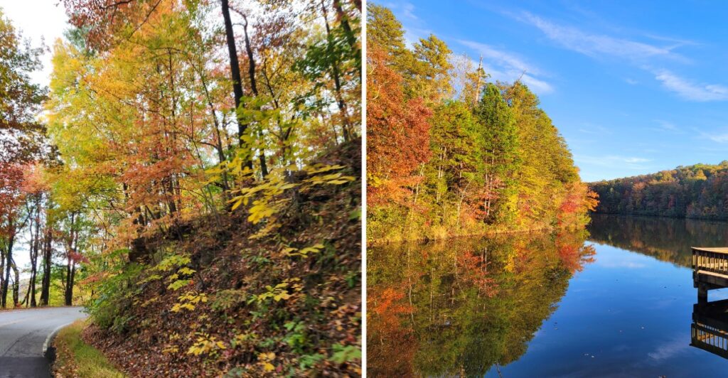
Here is my kind of October problem: the view keeps making you pull over.
You think you are making good time, then a lake appears between the trees. Five miles later, the mountains look better.
Northwestern South Carolina is especially good at this.
The road runs along the Blue Ridge foothills for more than a hundred miles, with forests and higher overlooks changing color at their own pace.
So I would not overbook the day.
Give yourself a couple of places you really want to see, then let the rest happen between them. Stop for the view that was not on the list. Take the short walk.
Eat lunch somewhere with a lake in front of you.
October already did the decorating.
You just have to resist driving past it.
October Color Moves Across The Foothills
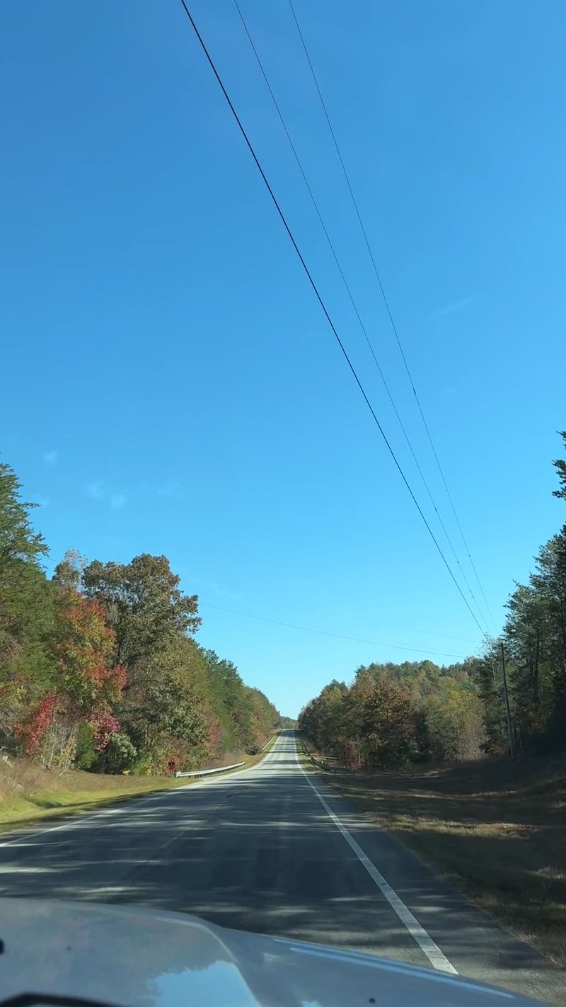
Fall color in South Carolina’s Upcountry develops gradually rather than appearing everywhere on the same weekend.
Leaves typically begin changing around mid-October and can continue into mid-November, although weather conditions affect the timing each year. Temperature, rainfall, wind, and elevation can all change how quickly one hillside moves from green to autumn color.
That variation actually gives a road trip some flexibility.
Higher locations may show stronger color while lower stretches remain greener. Drive farther along the foothills and another section may be at a different stage altogether.
Instead of expecting every ridge to match, pay attention to how the landscape changes as elevation rises and falls.
Table Rock, Caesars Head, Keowee-Toxaway, and other nearby mountain parks give you several places to catch fall color along the route.
Bring layers even when the afternoon forecast looks mild. Mountain mornings can feel cooler, especially around shaded trails and lakes.
Photography is easier when you give yourself stopping time rather than trying to catch every view through a windshield. A single pull-off or park visit can do more for the day than racing toward another distant viewpoint.
The leaves supply the color. Your schedule only needs to leave enough room to notice it.
Highway 11 Follows The Blue Ridge Foothills
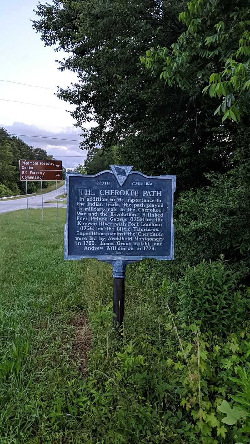
The Cherokee Foothills National Scenic Byway follows South Carolina Highway 11 across the Upstate, running roughly 112 miles between the Georgia side of the state and the area near the North Carolina border.
The road traces the southern edge of the Blue Ridge Mountains and serves as a scenic alternative to Interstate 85. Forest land, lakes, state parks, small communities, historic sites, and mountain views appear throughout the corridor.
Its name also reaches deeper into regional history.
Parts of the route follow the general corridor once known as the Cherokee Path or Keowee Path, traveled by Cherokee people and later by European traders during the colonial period.
The modern highway is different from that historic path, but the connection helps explain the Cherokee Foothills name.
You do not have to drive the entire byway in one sitting.
A shorter section built around two or three parks can fill a day easily. Another option is to divide the road across a weekend, giving yourself more time for trails, lake stops, and slower meals between driving stretches.
Keep navigation downloaded before heading into the more rural sections, since mobile service can weaken away from larger communities. Starting with enough fuel also removes one unnecessary decision later.
The point is not collecting every mile. Choose the stretch that matches the stops you actually want to make.
Table Rock Adds A Granite Landmark
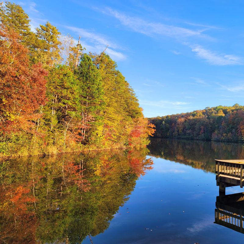
Table Rock is difficult to confuse with the surrounding ridges.
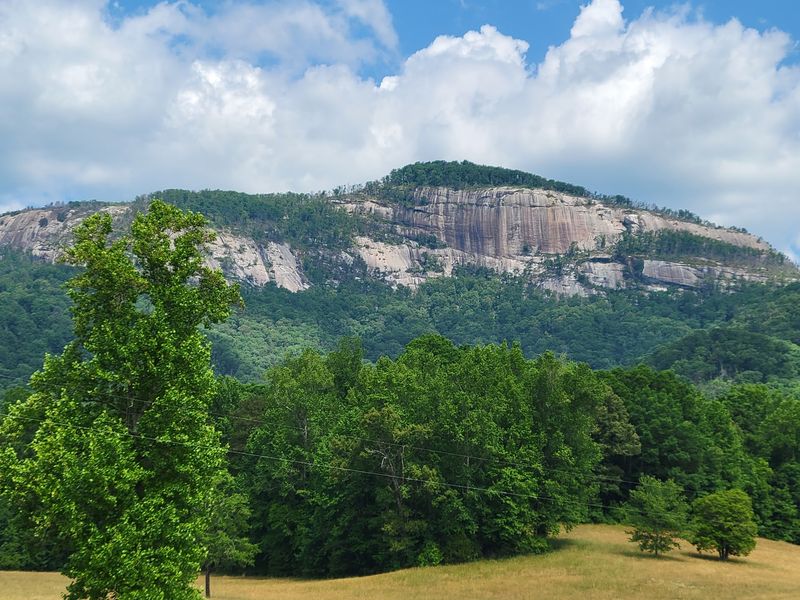
The exposed granite face rises above forested slopes at Table Rock State Park, giving this section of the foothills a visual landmark that remains easy to recognize even from farther away.
Inside the park, hiking trails range from shorter walks to more demanding mountain routes. Table Rock Trail climbs toward the summit, while other options keep you closer to lakes, creeks, and forest.
You do not need to tackle the longest hike to make the stop useful.
Lake Oolenoy and Lake Pinnacle bring water into the scenery, picnic areas provide space for a slower break, and the mountain remains visible from several parts of the park.
That makes Table Rock workable for travelers who want scenery without committing most of the day to a steep climb.
Hikers should remember that park trails close before sunset, so an afternoon arrival needs a realistic route choice. Water, sturdy footwear, and enough daylight matter more than squeezing in an extra mile.
Construction currently affects the Nature Center and main trailhead area, with hikers directed to temporary trail access and alternate restrooms.
The park is at 158 E. Ellison Lane, Pickens, SC 29671.
Autumn brings another reason to look toward the mountain. The pale granite stands against changing hardwoods, so the contrast becomes part of the view rather than the rock disappearing into an entirely green backdrop.
Give the stop enough time to walk, sit, and look up. It does not need much more structure than that.
Keowee-Toxaway Brings Lake Views Into The Drive
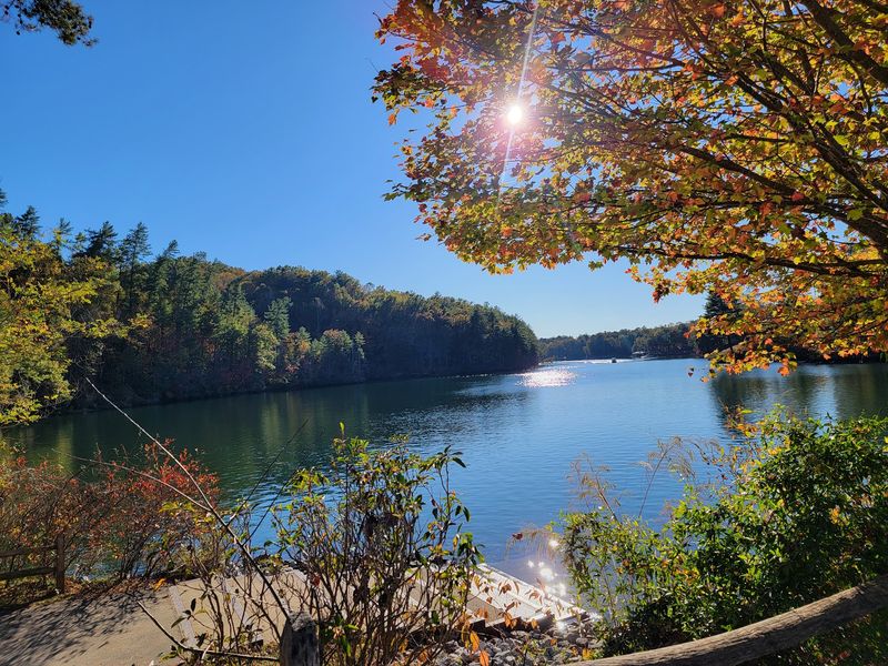
Further along the foothills, Keowee-Toxaway State Park changes the scenery again.
The thousand-acre park sits beside Lake Keowee and provides hiking, camping, paddling access, picnic space, and views toward the Blue Ridge foothills. Its location directly off Highway 11 makes it an easy addition without requiring a long side trip.
Two established trails give walkers different levels of effort.
Natural Bridge Nature Trail is the shorter option, while Raven Rock Trail stretches farther through the park and reaches views over Lake Keowee. A separate short path provides access to the lakeshore from the camping area.
If the road has already taken up several hours, choosing the shorter trail can make more sense than automatically taking the longest route.
Lake Keowee also changes the visual rhythm of the drive. After miles of forest and foothills, open water creates a broader view, particularly where autumn foliage reaches down toward the shoreline.
Paddlers can use the park’s canoe and kayak access point for non-motorized boats. Anyone staying on land can still reach the water on foot and combine a short walk with a picnic.
The park is open daily, with longer evening hours during Daylight Saving Time.
Think of this stop as a chance to break the drive into smaller pieces. Walk a little, look across the lake, and decide afterward whether the next stretch belongs to another park or simply more road.
Caesars Head Reaches Into Higher Country
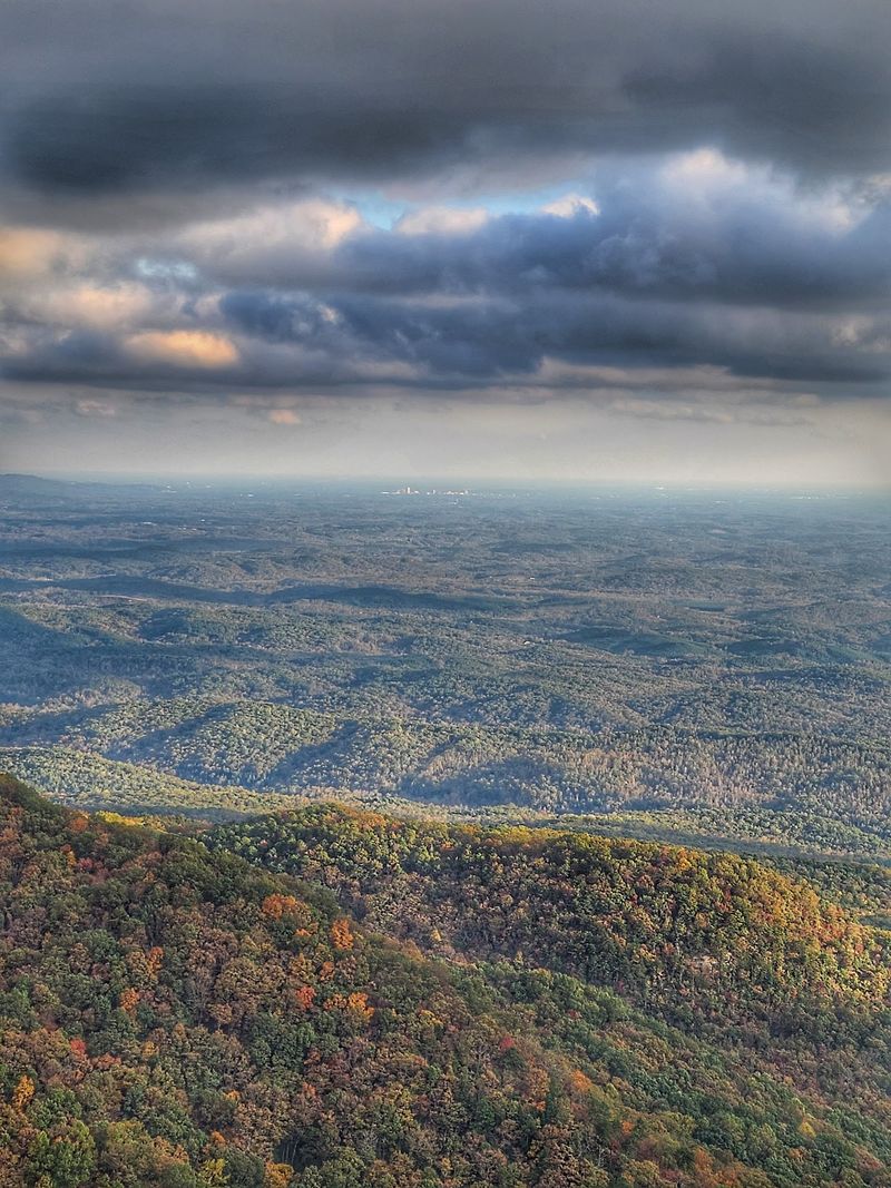
Elevation becomes more noticeable when the route turns toward Caesars Head.
The park’s overlook sits high above the surrounding Upstate landscape, opening a long view across layered ridges rather than keeping you down among the foothills.
That height also makes the area useful for seeing how autumn progresses across different elevations. Trees on higher slopes can change at a different pace from those below, so the view may contain several shades of the season at once.
The overlook is the simplest option if you want the scenery without building the day around a long hike.
Trail access extends into the Mountain Bridge Wilderness Area for visitors who want something more demanding. Those trails require more preparation, and official trails in the Caesars Head section are rated advanced.
Parking deserves attention during an October or November visit. The park has limited capacity, and weekend parking can fill. Entry for day visitors is first come, first served when spaces are available, and roadside parking is not permitted.
That makes a weekday visit especially practical when your schedule allows it.
The overlook and restrooms operate from morning until sunset, while trails close earlier.
Bring the layer you almost left in the car. Higher ground can feel different from the valleys below, especially when wind moves across the overlook.
Once you have taken in the long view, Highway 11 is waiting below with another change in scenery.
Rural Stretches Keep The Day Moving Slowly
Not every part of the byway needs a named attraction attached to it.
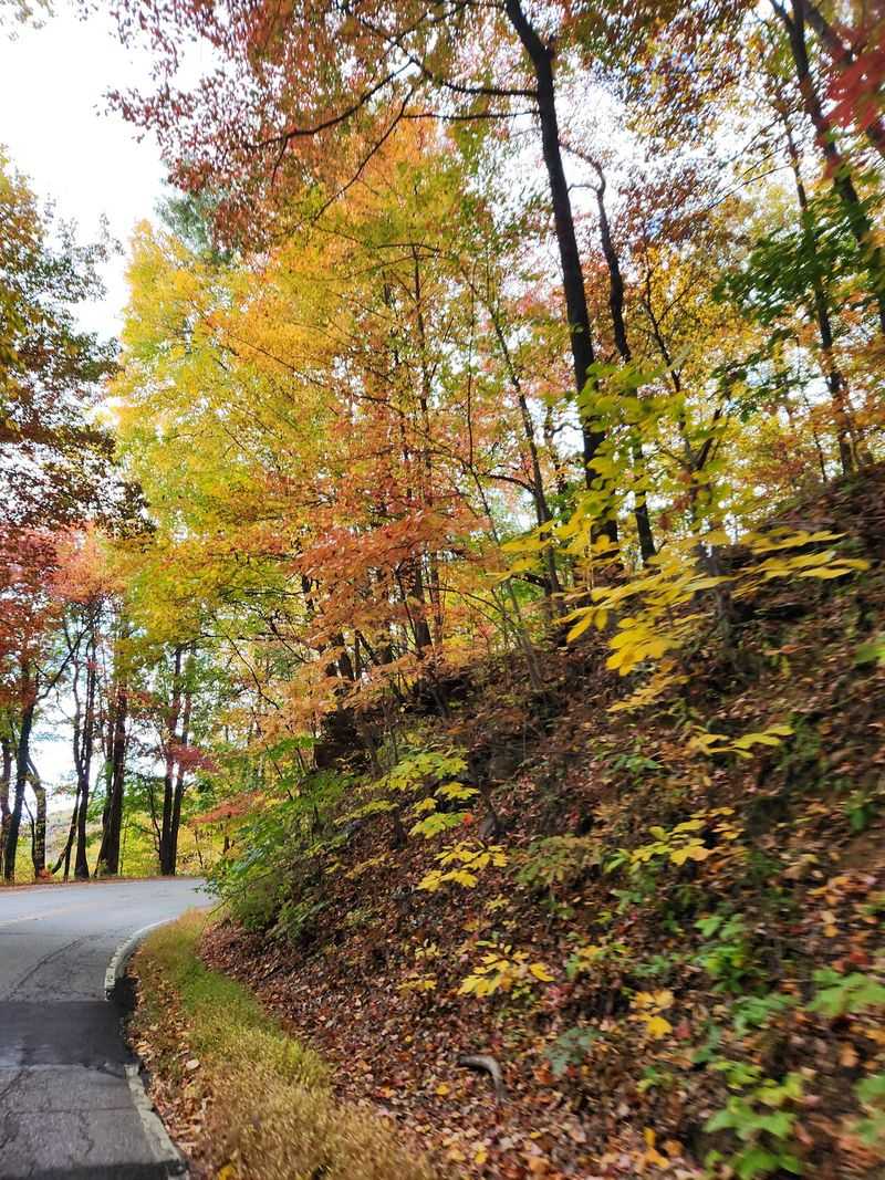
Between larger stops, Highway 11 crosses wooded countryside, lake country, foothills, and small communities. Those stretches give you time between parks instead of turning the day into a string of parking lots and trailheads.
Keep the pace comfortable on curving sections and resist building an itinerary that depends on exact minute-by-minute arrival times.
Road conditions, park stops, slower vehicles, and an unexpected viewpoint can easily change the rhythm.
Offline navigation is useful in rural areas, along with water and a few snacks. Those basics become more valuable when the next town is farther away than expected.
If you are dividing the route across two days, use the second morning for the section you rushed the first time. Autumn light changes quickly, and the same stretch can look different after sunrise than it did late in the afternoon.
The broader Upcountry landscape includes public lands, lakes, waterfalls, historic sites, and access points for outdoor recreation, so Highway 11 functions as more than a road between two endpoints.
It connects the pieces.
That makes restraint useful. Three good stops can make a stronger day than six hurried ones.
Keep enough time between them to notice the road itself, because the wooded stretches and rising foothills are part of what you came to see.
Several State Parks Can Shape The Route
One of the easiest ways to organize the Cherokee Foothills drive is around South Carolina’s state parks.
Table Rock gives you granite mountain scenery and hiking. Keowee-Toxaway brings Lake Keowee and shorter trail options. Caesars Head moves the trip higher into the mountains, while other nearby parks expand the choices if you have another day.
Several of these parks sit directly in the Upstate’s fall-color zone, making October and early November a natural time to connect them.
You still do not need to visit every one.
Start by deciding what kind of day sounds right. If walking matters most, choose a park with a trail that matches your available time and energy. If the drive itself is the priority, combine one major park stop with several shorter pauses.
If water views matter, keep Lake Keowee or another lake section in the plan.
Check current park conditions before leaving, particularly when trails, parking areas, or facilities could be affected by maintenance or weather.
Then keep the rest loose.
The full byway stretches far enough that trying to cover every attraction can turn scenery into a schedule. A better day can come from driving fewer miles, stopping longer, and letting October color fill the spaces between the landmarks.
South Carolina’s foothills do not need much help once autumn arrives. You only need enough time to see them change.