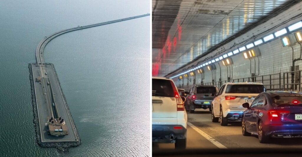
Keep your eyes on the road.
Mostly because the road is about to disappear.
Out over the water, Interstate 64 looks perfectly ordinary for a moment. Then the pavement starts dropping and coastal Virginia pulls off one of its stranger driving tricks.
Down you go.
The harbor stays overhead while traffic moves through a tunnel beneath the shipping channel. A little later, daylight comes back and the highway climbs into the open again.
The whole crossing stretches about 3.5 miles, but it carries serious traffic. Nearly three million vehicles use it in an average month, with summer days climbing past 100,000.
So timing can matter.
Still, once the road starts sinking, traffic numbers are probably not what you are thinking about.
You are too busy wondering when the sky is coming back.
More Than 100,000 Vehicles Can Cross In A Peak Summer Day
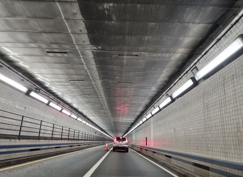
The Hampton Roads Bridge-Tunnel is one of the busiest water crossings in the region. Nearly three million vehicles use it in a typical month, and daily traffic can exceed 100,000 vehicles during the tourist season.
That number starts to make sense once you look at where the road goes. I-64 funnels traffic between the Virginia Peninsula and South Hampton Roads, carrying commuters, freight, local trips, and vacation traffic toward Norfolk and Virginia Beach.
Summer adds another layer. Beach trips overlap with ordinary weekday travel, and a delay at the tunnel can quickly affect miles of interstate on either side.
If the route is part of your day, checking 511 Virginia before leaving is more useful than guessing what traffic might look like. Conditions can change quickly when construction, maintenance, or an incident affects a lane.
There is also an alternate harbor crossing on I-664. The Monitor-Merrimac Memorial Bridge-Tunnel usually carries about half the daily traffic of the Hampton Roads Bridge-Tunnel and can provide another route between the Peninsula and South Hampton Roads.
The Crossing Mixes Bridges, Islands And An Underwater Tunnel
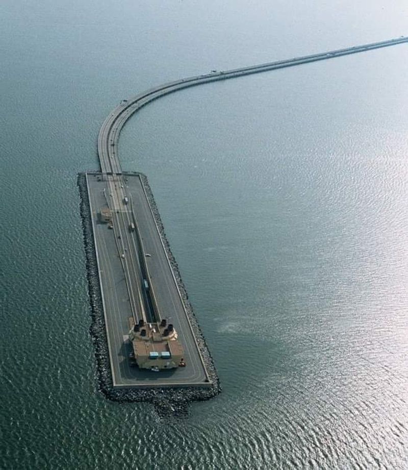
The water crossing stretches about 3.5 miles, but it is not one continuous bridge. Drivers travel over trestle sections, reach artificial islands, and then descend into tunnel tubes that pass beneath the Hampton Roads waterway.
That design keeps the federal shipping channel open above the roadway. Instead of placing a high bridge across the main channel, the tunnel sends traffic underneath it, leaving room for large vessels to move through the harbor.
The transition can feel surprisingly quick from behind the wheel. Open water sits beside the roadway, the island approaches, and then the road slopes toward the tunnel entrance.
Inside, the view becomes concrete walls, lights, and lane markings until the road climbs back toward daylight.
The crossing sits on I-64 between Hampton and Norfolk, Virginia. There is no separate attraction entrance to hunt down. If you are driving the interstate through this part of coastal Virginia, the bridge-tunnel is simply part of the route.
Passengers can enjoy the harbor views from the bridge sections. Drivers are better off treating the scenery as background and keeping attention on lane position, speed, and the traffic ahead.
The Original Tunnel Opened In 1957
The first Hampton Roads Bridge-Tunnel opened in 1957 with two lanes carrying traffic in both directions. Before that crossing existed, drivers moving between Hampton and Norfolk relied on ferry service across the channel.
The original project created a direct road connection across Hampton Roads. Its tunnel measures 7,479 feet between portals and was built from 23 steel immersed-tube sections.
Those sections were fabricated, floated into position, lowered into a dredged trench, and connected beneath the harbor.
The original tunnel stretched for more than a mile below the waterway and connected to trestle bridges through two artificial portal islands.
You can still drive through that original tunnel today. The westbound tube traces back to the 1957 crossing, which means part of an ordinary I-64 trip now runs through infrastructure that has been carrying vehicles for nearly seven decades.
Inside the tube, that history is easy to miss. The roadway looks straightforward from a car, but the structure around you was assembled in sections and placed beneath an active harbor long before modern tunnel-boring machines became part of the current expansion.
A Second Tunnel Doubled The Original Crossing
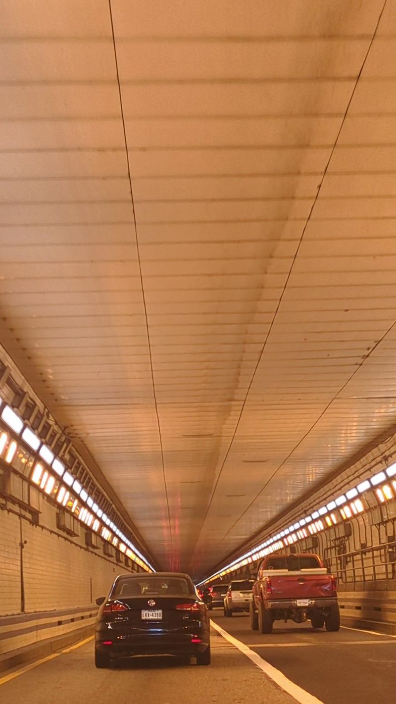
Traffic growth did not stop after the first tunnel opened. A second two-lane tunnel joined the crossing in 1976, creating separate tubes for eastbound and westbound traffic.
That arrangement is the version generations of drivers came to know: two lanes in each direction passing beneath the harbor through separate tunnel tubes.
The extra capacity helped, but Hampton Roads continued growing. Today, each existing direction still narrows to two lanes through the older tunnels, which leaves little room when a vehicle stalls or a lane has to close.
That is one reason the crossing rewards a steady driving rhythm. Pick a lane before entering, follow posted signs, and avoid unnecessary lane changes as the roadway approaches the tunnel.
Vehicle height also matters. Hampton Roads tunnels have clearance restrictions, so oversized vehicles need to follow posted limits and permit requirements rather than assuming every highway-sized vehicle can pass through.
For most passenger cars, the experience is straightforward. The road dips, tunnel lights take over, and a few minutes later the harbor opens up again. If traffic is moving well, the tunnel portion passes quickly.
If a lane is blocked, the same narrow layout can turn into a much slower trip.
Nearly Three Million Vehicles Use It Each Month
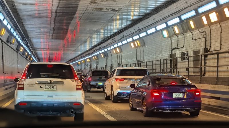
Monthly traffic gives another way to understand the scale of the crossing. Nearly three million vehicles pass through the Hampton Roads Bridge-Tunnel each month. During peak summer periods, the daily figure climbs above 100,000.
That volume matters because the bridge-tunnel is not only a vacation route.
It is part of everyday transportation across Hampton Roads, connecting communities on opposite sides of the harbor and carrying workers, commercial traffic, military-related trips, and visitors through the same corridor.
The crossing is toll-free.
Drivers using the Hampton Roads Bridge-Tunnel do not pay a toll to pass between Hampton and Norfolk.
When traffic is moving well, the 3.5-mile water crossing can feel quick. When demand spikes or a lane is blocked, the same stretch can become the slowest part of a longer drive.
That makes timing useful even if there is no perfect hour. Check live traffic before leaving, especially on summer weekends or when an appointment depends on arriving at a specific time.
If traffic is already stacked up, I-664 and the Monitor-Merrimac Memorial Bridge-Tunnel may be worth comparing before committing to the I-64 approach.
The Original Tunnel Runs More Than A Mile Beneath The Harbor
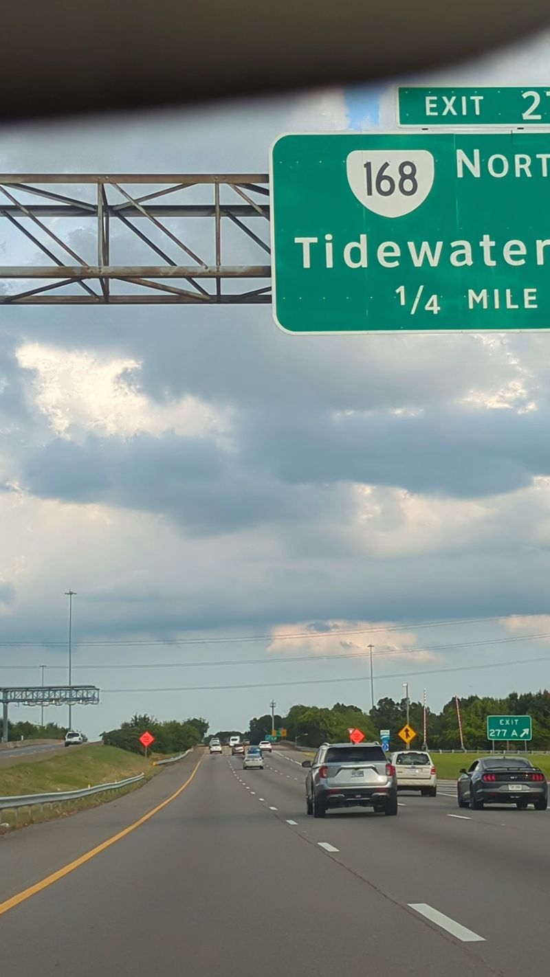
The 7,479-foot length between portals makes the original tunnel longer than a mile. It was assembled from 23 steel tunnel sections, each roughly 300 feet long, and lowered into a trench between the artificial islands.
That construction method is called immersed-tube tunneling. Instead of boring the entire passage directly through the ground, builders created large tunnel elements, floated them to the site, sank them into position, and joined them underwater.
From inside a car, none of that is obvious. The roadway simply slopes down, levels out, and eventually climbs toward the opposite portal.
For passengers, the interesting part is knowing what sits above. The tunnel passes below a major harbor and shipping route while vessels continue moving through the channel overhead.
Drivers should keep the focus much closer to the windshield. Holding a steady speed within the posted limit and leaving enough room ahead helps traffic move through the tubes more consistently.
That shift from open water to tunnel and back again happens in only a few miles, which is part of what makes this stretch of I-64 different from an ordinary bridge crossing.
An Approximately Four Billion Dollars Expansion Is Changing The Crossing
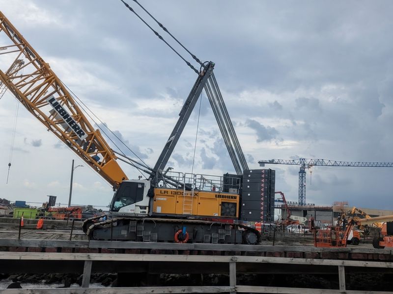
The Hampton Roads Bridge-Tunnel is in the middle of the largest highway construction project in Virginia history.
The expansion is expected to cost approximately four billion dollars and covers nearly 10 miles of I-64, adding twin two-lane bored tunnels beneath the harbor along with wider roadway and bridge sections.
The new tunnels are being built differently from the 1957 and 1976 tubes. A tunnel-boring machine named Mary excavated the twin passages beneath the harbor, completing the second and final bore in September 2025.
The new tunnels sit about 50 feet below the existing tubes and will carry eastbound traffic when the project is finished.
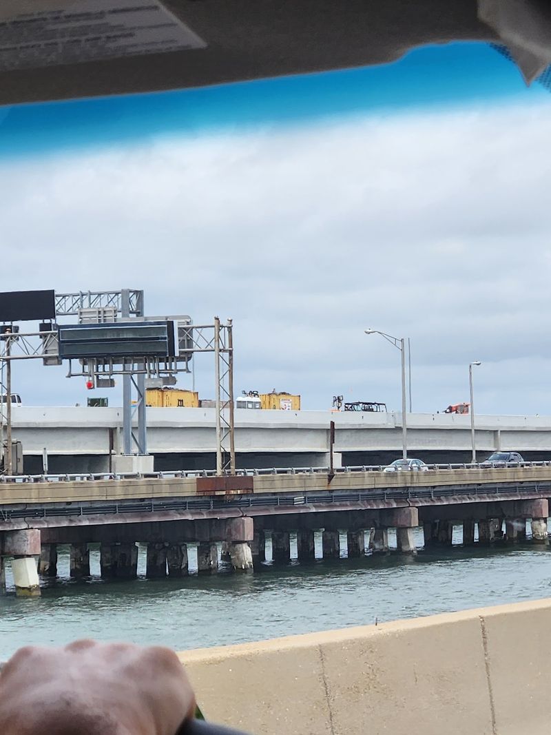
Construction remains active in 2026. New roadway sections have already opened in phases, while additional traffic shifts, bridge work, and lane changes continue across the corridor.
Another major eastbound traffic shift onto the new South Trestle is planned for later in fall 2026.
The completed crossing will provide eight lanes of capacity across the water, compared with the existing four. On land, portions of I-64 are also being widened.
For anyone driving through now, construction is part of the route. Lane patterns can change, and overnight closures or shifts may appear as work advances. Checking current traffic information before the trip is the easiest way to avoid being surprised by a new pattern.
The older bridge-tunnel has carried Hampton Roads traffic since 1957. The expanded version is now taking shape around it, with new tunnels, wider bridge sections, and additional lanes gradually becoming part of the same coastal crossing.