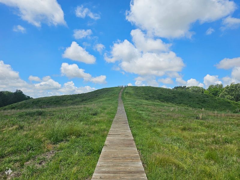
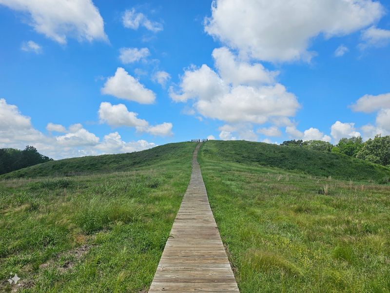
Poverty Point World Heritage Site does not look like a small roadside stop once you understand what you are seeing. In far northeastern Louisiana, people shaped an enormous landscape here thousands of years ago, and the size still catches visitors off guard.
What seems like simple grassy ground at first slowly turns into one of the most surprising ancient places in the United States. Seeing the mounds in person makes the story feel real in a way pictures rarely can.
A remote Louisiana landmark with global importance
Far from Louisiana’s busier tourist routes, Poverty Point World Heritage Site sits near the village of Epps in West Carroll Parish, at 6859 LA-577 in Pioneer. The setting feels quiet and rural, which makes the scale even more startling when the earthworks begin to reveal themselves across the landscape.
What stands here is not a single mound but a major prehistoric complex recognized as a UNESCO World Heritage Site, a U.S. National Monument, a National Historic Landmark, and a Louisiana State Historic Site.
Maps data describes it as a historic Native American mound and ruins site, with a towering mound and the remains of a thriving commercial hub.
Plenty of ancient places ask visitors to imagine more than they can see. Poverty Point is a little different, because the ground itself is the monument, spread across hundreds of acres in northeastern Louisiana near Bayou Macon.
The site covers more than 400 acres, with a core earthworks area of about 345 acres, and the wider occupation area stretched for more than three miles. That combination of size, age, and recognition explains why people often arrive curious and leave a bit stunned by what was accomplished here.
An ancient story built by hunter-fisher-gatherers
Long before famous stone monuments farther south in the Americas were built, people at Poverty Point were shaping this Louisiana ground into something enormous. Archaeologists connect the site to the Poverty Point culture, a complex society of hunter-fisher-gatherers that built here during the Late Archaic period, roughly between 1700 and 1100 BCE.
That date alone changes how many people see the place. The earthworks here are centuries older than the great Mayan pyramids, and they were created by people who were not relying on farm-based city life in the way many visitors expect when they picture a major ancient center.
Researchers think Poverty Point may have served as a settlement, a trading center, and a ceremonial complex, possibly all at once. At its peak, estimates suggest a population of about 4,000 to 5,000 people, with some higher estimates reaching 9,000, making it one of the most remarkable prehistoric gathering places in North America.
Visitors often mention how much the museum, short film, and exhibits help bring that story into focus. Once the timeline clicks, the site stops feeling like a field with hills and starts feeling like proof that ancient North America held bold, organized, deeply skilled communities.
The concentric ridges and central plaza
At ground level, the genius of Poverty Point can sneak up on you. One reason some visitors recommend starting with the film, pamphlet, or ranger guidance is simple: the famous ridges are easier to appreciate when you know the pattern before you head out.
The site includes six concentric C-shaped ridges wrapped around a central plaza, and the outermost ridge measures nearly three-quarters of a mile in diameter. Originally, those ridges stood about 5 to 10 feet high, and researchers believe they likely served as foundations for dwellings.
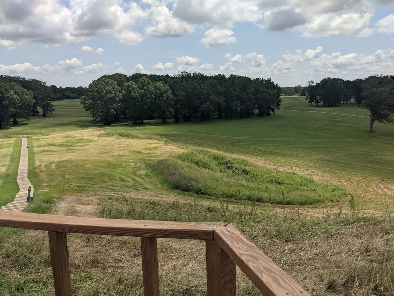
Seen on a map or from a higher viewpoint, the design feels bold and deliberate. Seen from the trail, the ridges can look subtler, almost like gentle rises in the grass, which is why some visitors say the site rewards patience and context more than a quick glance from the parking lot.
That contrast is part of what makes Poverty Point memorable. It is not flashy in every corner, but it is thoughtful and huge, and the layout speaks to planning on a scale that still feels impressive today.
Walking or driving the route with marked stops helps turn the landscape into a readable story, one curve and one open space at a time.
Mound A and the climb that changes your perspective
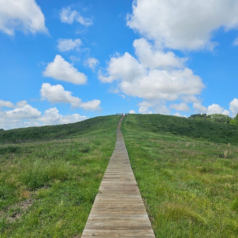
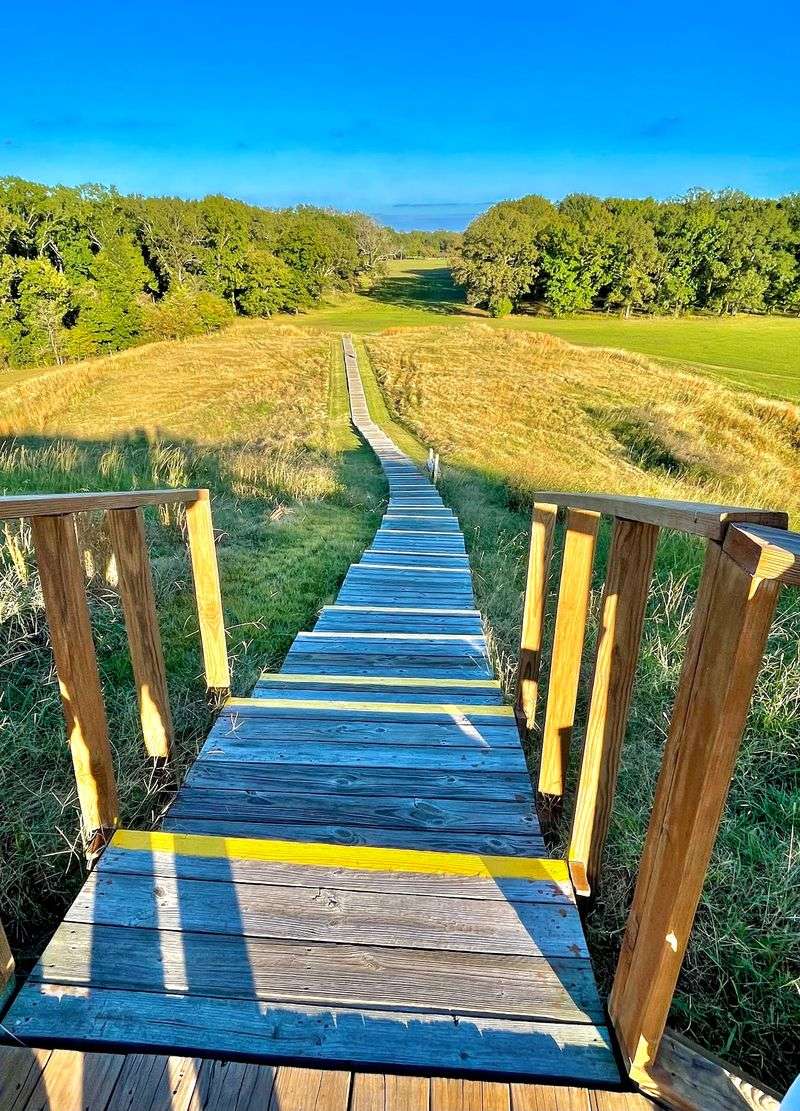
Nothing at Poverty Point grabs first-time visitors quite like Mound A. Also called the Bird Mound, it rises about 72 feet tall and stretches roughly 705 by 660 feet at its base, making it the kind of earthwork that instantly resets your sense of scale.
From above, Mound A is described as roughly bird-shaped or T-shaped. By volume, it is considered the second-largest earthen mound in eastern North America, which helps explain why so many visitor comments single it out as the moment the site becomes truly hard to believe.
Climbing it is a big part of the experience for many people. Visitors often say the walk up is worth the effort, and some mention benches, rails, and a platform view that helps the wider layout make more sense once you are higher than the surrounding ridges and plaza.
There is also an emotional shift that happens on the slope. Instead of reading about labor and planning in a brochure, you start feeling the human scale of the project under your feet.
A mound this large, made thousands of years ago, has a way of turning ancient history from an abstract lesson into a physical fact.
Engineering on an almost unimaginable scale
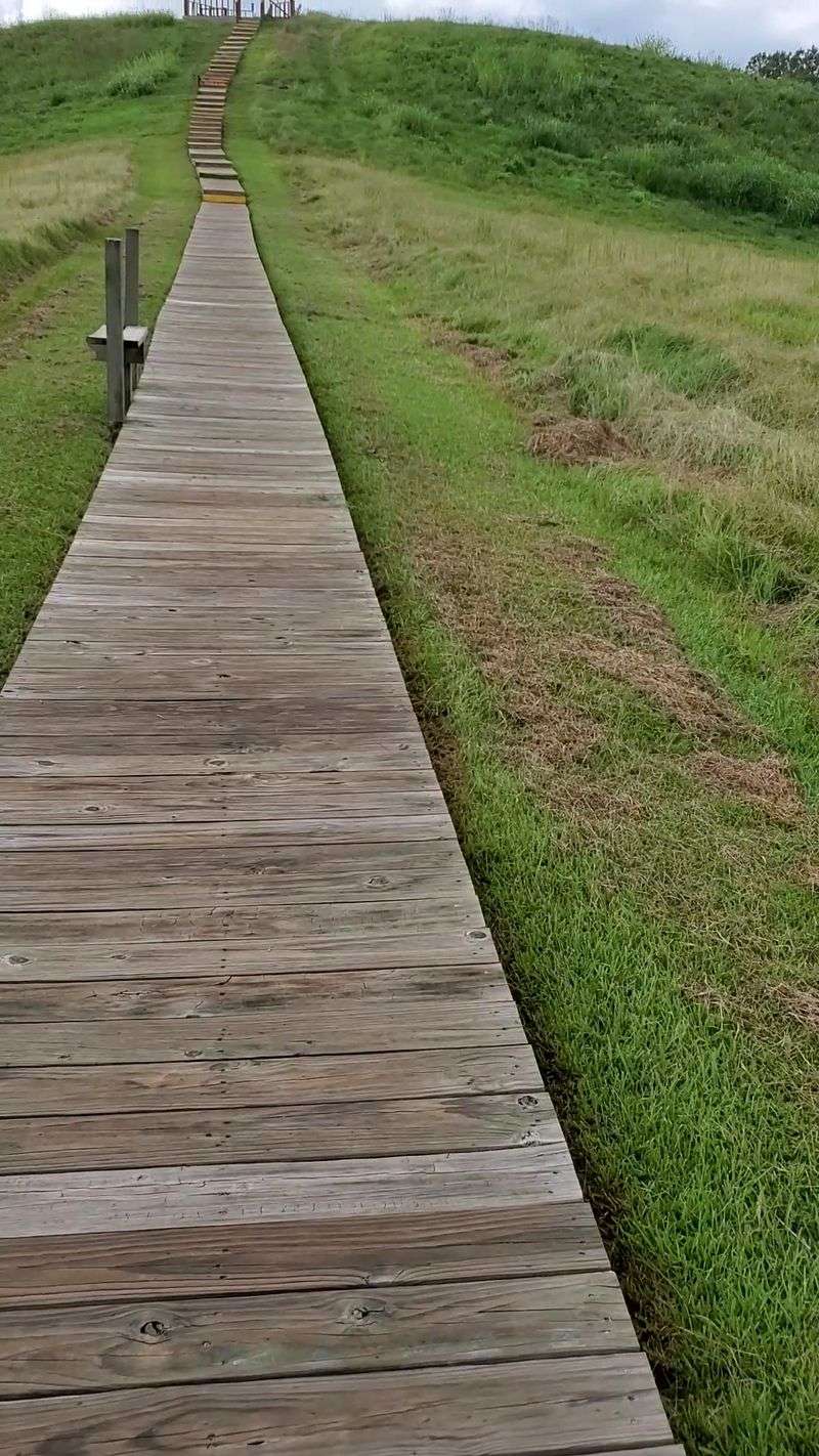
Here is the part that can make even history fans stop and stare for a second. Researchers estimate that the builders of Poverty Point moved about 53 million cubic feet of soil, or roughly 390,000 tons of dirt, without wheeled vehicles or domesticated draft animals.
Numbers that big can feel slippery until you stand on the grounds and realize every rise in the landscape had to be shaped by human effort. The achievement becomes even more remarkable at Mound A, where research suggests the structure may have been built quickly, perhaps in less than three months.
That possibility points to serious planning, teamwork, and engineering skill. Studies suggest different soil types were mixed for durability, showing that the builders were not just piling up dirt but making smart choices about how to create long-lasting forms.
Modern visitors often arrive expecting an interesting old site and leave talking about logistics. How did people organize labor on this scale, keep a design consistent, and shape features so large that they still read in the landscape after thousands of years?
Poverty Point does not answer every question neatly, but it makes one thing clear: the people who built it understood construction, coordination, and landscape design at an extraordinary level.
Artifacts, trade, and a visitor center that adds context
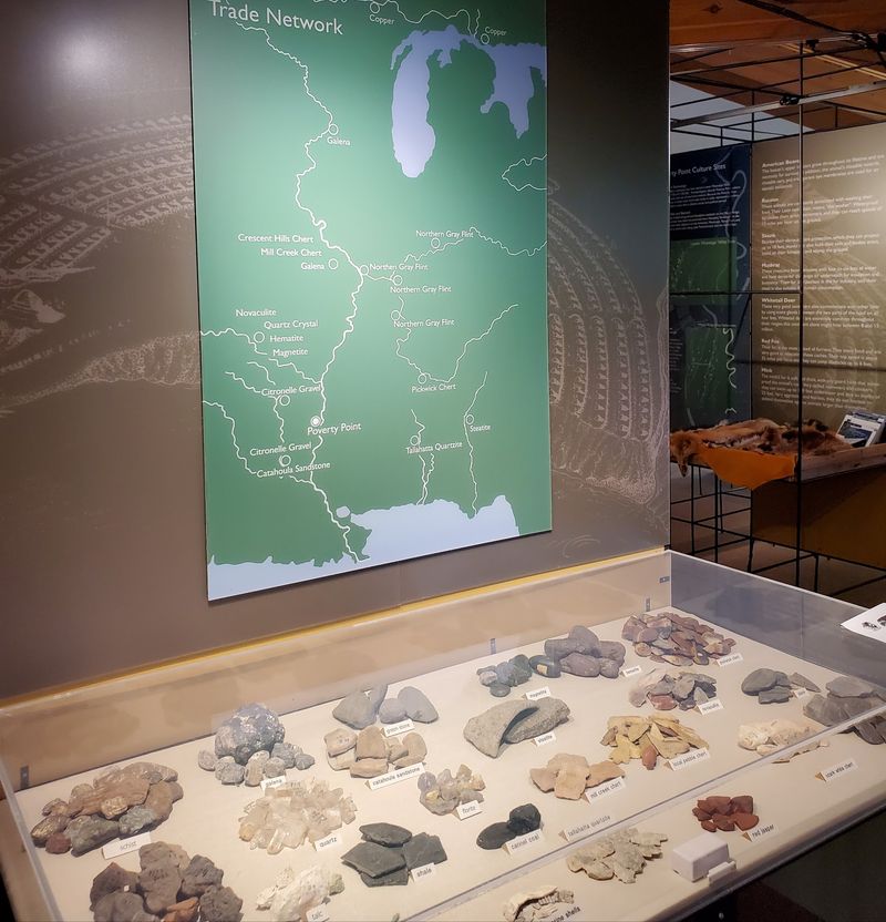
A good visit to Poverty Point usually starts indoors, and that is not a bad thing at all. The visitor center and museum come up again and again in visitor comments because they help decode a site that can otherwise feel too vast and too subtle at first glance.
Regulars mention a short film, informative exhibits, and displays filled with artifacts that show how connected this place once was. Archaeologists believe Poverty Point stood at the center of a large trade network that reached across a wide area of the eastern United States, and the interpretive exhibits help show that this was not an isolated community.
Visitors also praise the staff and rangers for being knowledgeable, friendly, and good at turning big ideas into something easy to follow. For families, that matters.
For history enthusiasts, it is even better, because the museum reportedly packs a great deal of information into a relatively small space.
Several guests suggest watching the video before heading outside, then using the map or tour pamphlet to connect the exhibits with what you see on the grounds. That sequence makes the site feel fuller.
Instead of looking at mounds alone, you begin picturing people, homes, movement, craftsmanship, and long-distance exchange.
A choose-your-own-pace experience for families and history fans
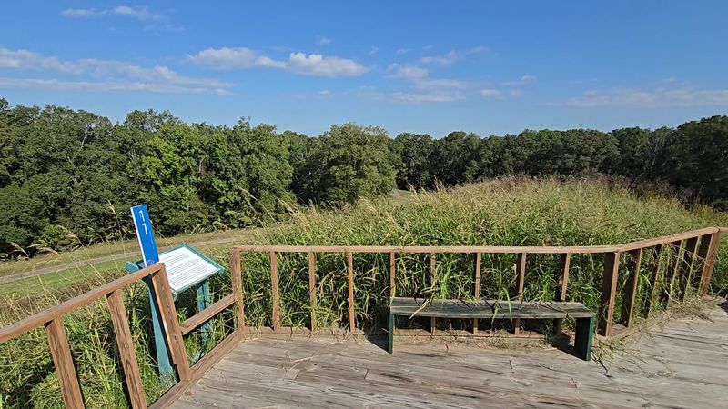
Some places feel best with a strict itinerary. Poverty Point is more flexible, which is one reason it appeals to such a wide mix of travelers.
Visitors describe several ways to experience the site, including walking tours, self-guided driving tours, ranger-led options, and seasonal tram service.
That range matters because the site is big. One visitor suggested planning at least two hours, while others said they spent an hour on a shorter trip and still managed the museum, film, and a drive through the grounds.
Hikers mention routes around 2.5 to 3 miles with marked stops, benches, and a well-laid-out path.
Families often say the site works well for both kids and adults, especially with the museum, the video, and the chance to move at your own pace. There is also a Junior Ranger program mentioned by visitors, plus picnic areas, clean restrooms, and space to pause between stops.
The overall atmosphere sounds calm rather than crowded. Some guests even describe stretches of the self-guided route where they had the landscape nearly to themselves, which fits the mood of the place.
Poverty Point suits curious travelers, students, archaeology fans, and anyone who likes learning while walking through a genuinely unusual setting.
Hours, admission basics, and the final takeaway
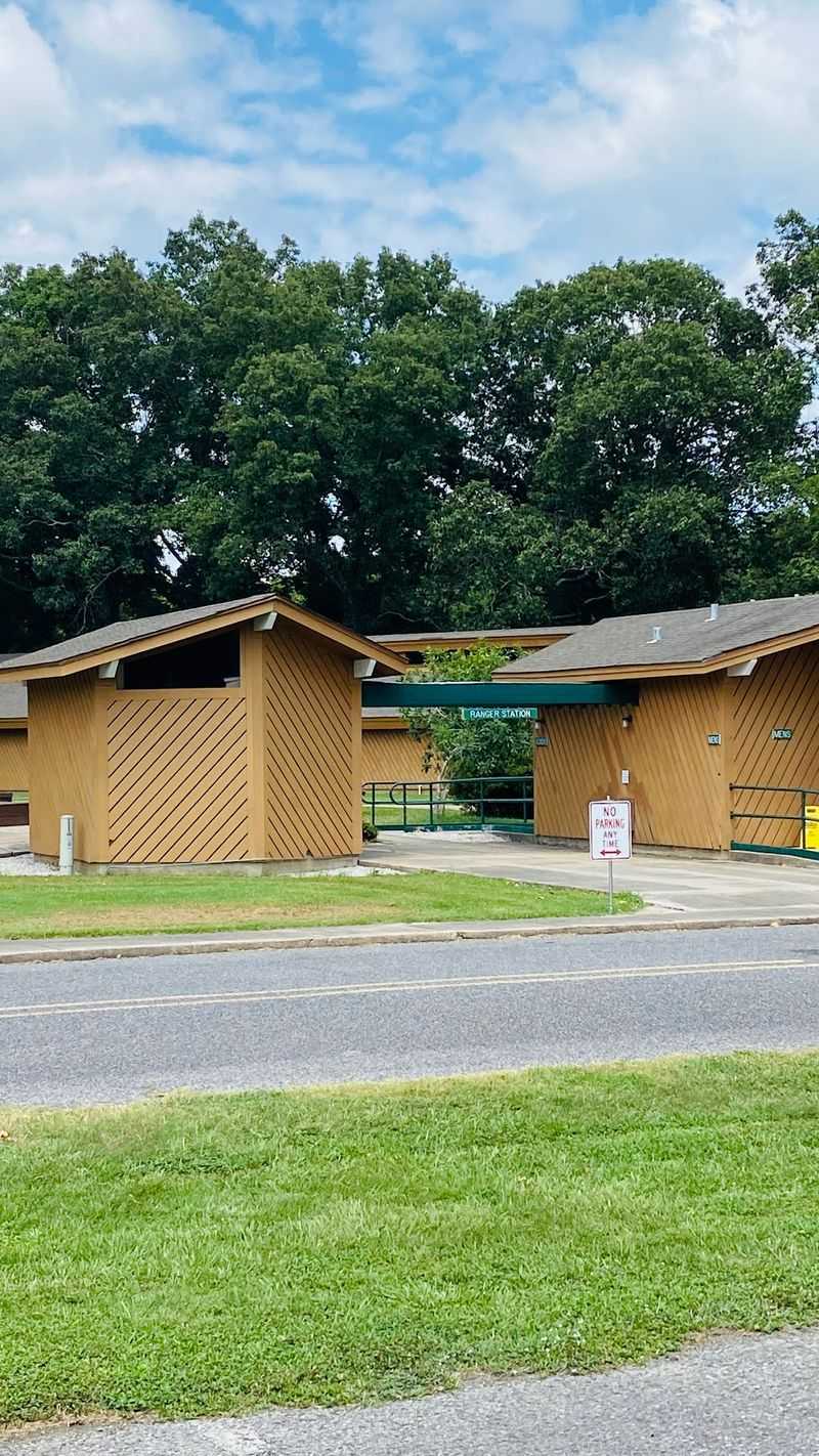
Before you go, the practical details are refreshingly straightforward. Poverty Point World Heritage Site is open daily from 9 AM to 5 PM, according to the maps listing, and parking is reported as free by visitors.
The site’s address is 6859 LA-577, Pioneer, LA 71266, in a rural part of northeastern Louisiana near Epps, so most travelers will want to plan the drive in advance rather than expect a quick pass-by stop. Visitors regularly recommend beginning at the visitor center, where you can watch the short film and pick up guides for walking or driving the route.
Admission details in visitor comments indicate there is an entrance fee, with multiple visitors reporting a price of 4 dollars for most adults, free admission for people over 62, and some pass exceptions. One visitor also noted that an annual USA pass was not valid, while another mentioned certain national park senior and access passes were honored, so checking directly with the site is the safest move.
As a final verdict, Poverty Point is the kind of place that grows on you fast and stays in your mind afterward. If you give it time, context, and a little walking, those grassy shapes turn into one of Louisiana’s most astonishing landscapes.