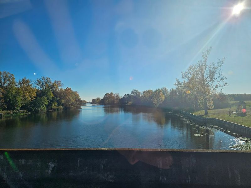
Louisiana does not advertise its fossils on bumper stickers or highway signs, but the Cane River Site sits just off the interstate waiting for anyone willing to slow down and look.
The outcrop exposes marine deposits roughly 46 million years old, when this entire region sat at the bottom of a shallow sea. Shark teeth, shells, plus fossilized crab claws lie scattered across the ground in plain sight, no chisels or permits required.
The site is unmarked except for a small turnout, plus the best collecting happens after rain washes away the loose sediment.
Standing on the embankment with a palm full of prehistory, the flatness of the landscape suddenly makes sense: this land was ocean floor long before it was anything else.
A roadside outcrop in Louisiana exposes marine fossils that visitors can hold in their hands millions of years after the water receded.
Vivid Geological Layers
What struck me next were the layers themselves: thin beds of glauconitic silty clay that record subtle shifts in ancient depositional conditions. The strata are not dramatic cliffs but gentle, readable sheets where each thin band hints at changing currents, sediment supply, and marine life.
You can trace microvariations that paleontologists use to reconstruct ancient inner-shelf environments and seasonal patterns.
The matrix often contains small bivalve impressions, shell fragments and foraminifera that require patience to notice. I found that a careful walk and a studying gaze reveal a surprisingly detailed geological chronicle, as if the sea rearranged itself into readable pages preserved along the highway cut.
Follow Cane River Until The Road Starts Remembering
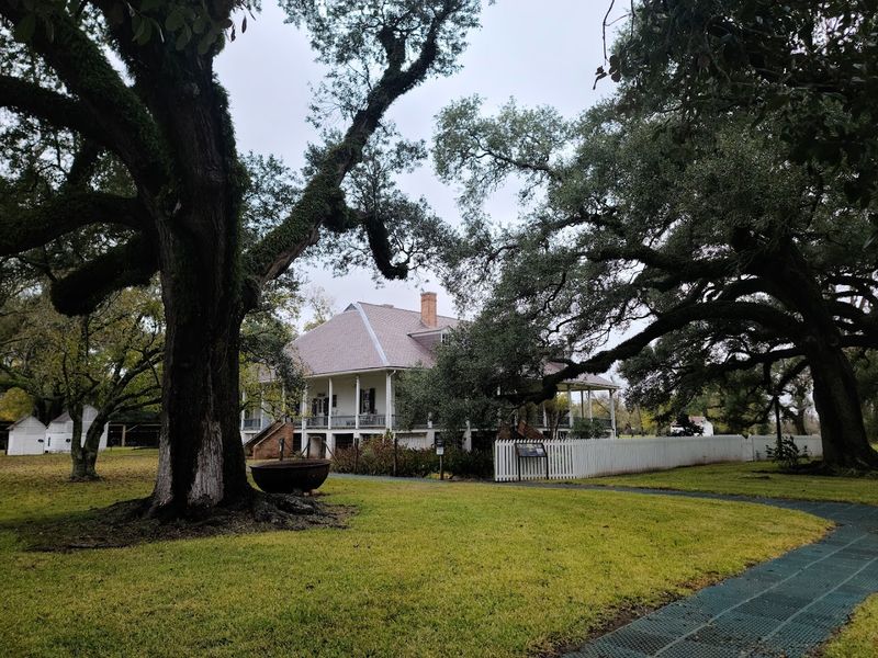
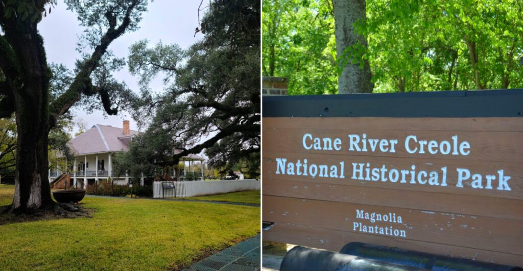
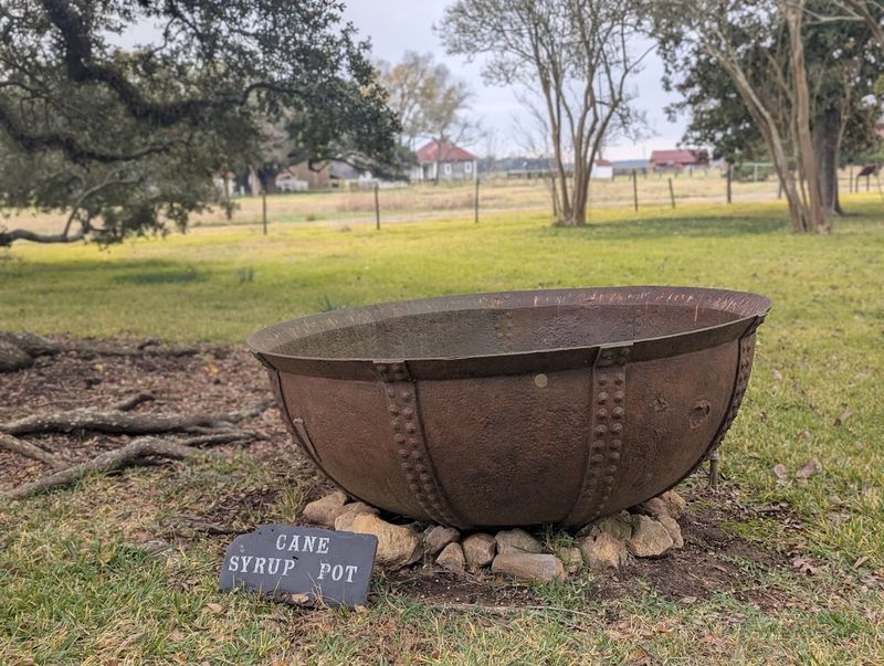
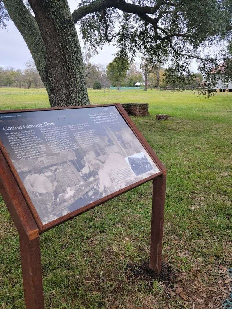
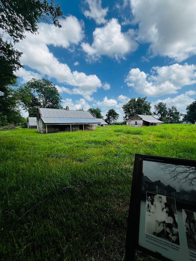
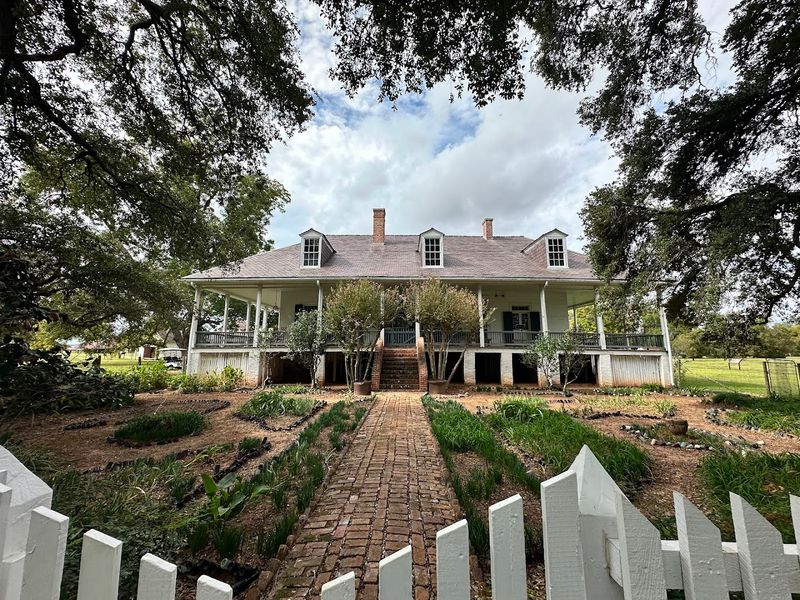
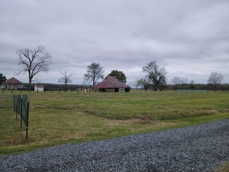
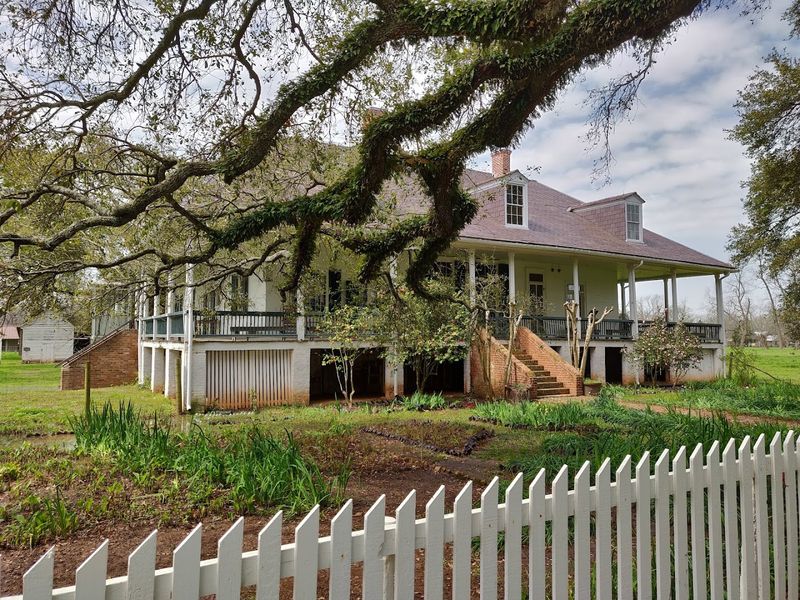
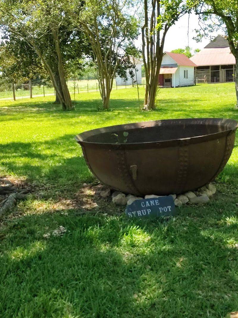
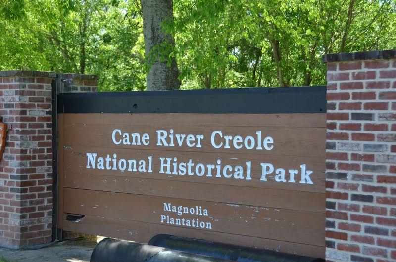
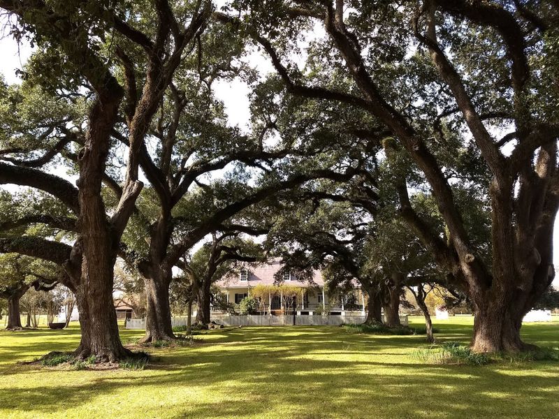
Cane River Creole National Historical Park sits south of Natchitoches, Louisiana, with its main historic stops spread between Oakland Plantation and Magnolia Plantation. Start in Natchitoches and follow the Cane River corridor rather than expecting one single downtown-style entrance.
Do not rely blindly on GPS once you leave town, because the National Park Service warns that mapping apps can give incorrect directions to the park units. Use the official park directions and watch for signs along the rural roads leading toward the plantation sites.
If you want the simplest first stop, aim for Oakland Plantation, where the historic store serves as the main visitor contact point when open. From there, Magnolia Plantation is reached by continuing farther along the Cane River country roads.
Unexpected Marine Diversity
The diversity here surprised me: over a hundred species recorded from this small exposure, including bivalves, gastropods, corals and isolated vertebrate remains like shark teeth. That richness is unusual for Louisiana, where acidic soils and vegetation often erase older records.
At this site, however, preservation favored both microfossils and macrofauna, so a single visit can yield insights across size scales.
Keep expectations realistic because well-preserved specimens are uncommon and often fragmented. Still, spotting a recognizable shell or a tiny otolith connects you to a whole ecosystem of predators, grazers and reef-forming organisms that once thrived here in warm Eocene seas.
Weather And Preservation
Rain changes everything at Cane River. After a shower, the clay darkens and fossil outlines pop, making it easier to spot shell casts and bone fragments that dry weather can hide.
I noticed more visible material following wet conditions, though muddy ground and slippery slopes demand careful footing and appropriate footwear for safety near the highway shoulder.
Conversely, prolonged dampness can accelerate vegetation growth over the cut, masking exposures and complicating access. Timing a visit after moderate rain but before regrowth takes hold often yields the clearest views of fossil-rich surfaces while minimizing ecological disturbance and risk near traffic.
Early morning light can help too, casting small shadows across ridges and impressions that might otherwise blend into the bank. Patience matters here; a slow scan usually reveals more than quick digging, which can damage fragile material and the surrounding slope.
Accessibility And Safety
Access at the roadside cut is straightforward in theory but requires caution in practice because you are near active interstate lanes. I recommend pulling well off the roadway, using the abandoned exit area if available, and staying visible to passing drivers.
A partner is a sensible precaution, and reflective clothing helps if light conditions are poor. Always prioritize safety over a closer look, especially when traffic noise makes it harder to judge vehicle distance.
There are no formal facilities on site. Bring water, sun protection during warm months, and a first-aid kit for scrapes.
Sturdy shoes are useful on uneven ground, and gloves can help with rough clay or exposed debris. If you plan to collect anything, double-check local regulations because many fossil sites have restrictions to protect scientific value and context.
Microfossils And Research Value
One of the most revealing aspects of the outcrop is its microfossil assemblage, which includes foraminifera and fish otoliths that yield ecological and climatic clues. These tiny remains are crucial for dating layers and reconstructing seawater temperature and salinity during the Middle Eocene.
I appreciated how small fragments pack such large scientific value when studied by researchers with microscopes and lab equipment.
While casual visitors rarely process microfossils on site, recognizing that these tiny fossils underpin many interpretations enriches a field visit. Even a plain-looking pinch of sediment can hold evidence that helps refine the larger story of this ancient marine environment.
It’s a reminder that some discoveries unfold far from the ditch, in the labs that analyze what the outcrop produces and connect each sample to a deeper timeline.
Local Context And History
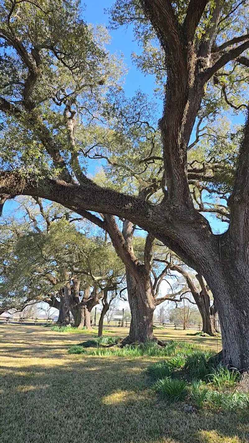
Visiting the fossil cut feels richer when tied to the local story of Natchitoches, founded in 1714 and layered with colonial and Creole history. The fossil site itself is a modern revelation born of highway construction, but it sits within a region shaped by the Cane River and human settlement patterns over centuries.
That juxtaposition of deep time and living history invites reflection on continuity and change.
Strolling the nearby historic district before or after a visit can ground your experience. Seeing centuries of human history alongside evidence of a vanished sea makes the area feel like a palimpsest of environments and cultures.
Respecting The Site
Preservation matters at Cane River because specimens lose context the moment they are removed. I learned that leaving finds where they lie, photographing and recording locations, helps researchers who study distribution and stratigraphy.
If you encounter sensitive or scientifically important material, contact local universities or the Cane River National Heritage Area for guidance rather than removing objects yourself.
Photographing finds with a scale bar and sharing observations with local experts contributes more than an uncontextualized souvenir. Treat the cut as a living laboratory where careful observation and restraint support future science and education.
Seasonal Viewing Tips
Seasons alter visibility at the outcrop: winter and early spring often reduce vegetative cover, exposing more of the ditch face, while summer growth can hide exposures quickly. I found that a late-winter visit lets you see more of the stratigraphy without the distraction of dense undergrowth.
Morning light in those seasons also casts gentle shadows that emphasize texture and relief in the layers.
Conversely, fall storms sometimes clear debris and reveal fresh material, so timing visits around weather and plant cycles improves chances of seeing clear surfaces. Adjust your schedule to the season and wear layered clothing for comfort.
Simple Tools And Techniques
You don’t need heavy equipment to appreciate the site; a hand lens, a soft brush and a notebook transform what you notice. I often bring a small loupe to inspect shell microstructures and a field notebook for sketches and quick notes.
A camera with macro capability helps capture small details for later comparison with literature or expert consultation.
Remember that digging is discouraged; instead use gentle cleaning with a brush and document finds with measurements and photos. These low-impact techniques maximize both your learning and the site’s conservation for future researchers and visitors.
Connecting With Researchers
Engaging with local researchers or university geology departments amplifies the value of a visit because they can place your observations in a broader scientific context. I once emailed a nearby university with photos and got pointers that refined my identifications and revealed subtle features I had missed.
Researchers often welcome documented observations from responsible visitors and can guide reporting protocols for significant finds.
Check with the Cane River National Heritage Area or regional museums for outreach programs that connect amateurs and professionals. Those connections turn casual curiosity into contributions that support ongoing study and public education about this rare Louisiana exposure.
Leaving With Perspective
When you step away from the ditch, the ordinary landscape resumes but with a changed perspective: the idea that a warm shallow sea once covered this ground reshapes how you view coastal Louisiana’s deep history. I left with a sense of continuity between ancient ecosystems and modern human landscapes, impressed by how much a small exposure can reveal.
That shift in perspective is the most enduring souvenir from the visit.
Take time after your field visit to read up on published work about the Cane River Formation; context deepens appreciation and makes future visits more rewarding. This modest outcrop rewards patience and curiosity with real scientific and emotional payoffs.