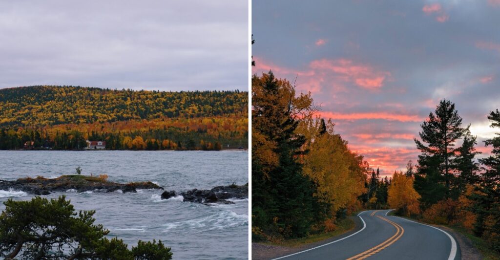
Here is what I would tell you before we even start the car: do not promise anyone what time we will be back.
That is asking for trouble up here.
The road slips past old copper towns, then the trees start changing the whole mood. A few miles later, Lake Superior appears and suddenly whatever conversation was happening in the car can wait.
This far north, Michigan feels almost like it is showing off a little.
You get history without hunting for it. You get color without needing a perfect plan. And every so often, the road gives you a reason to pull over that was nowhere on your list.
I would keep the jacket close and the afternoon open.
Because once this drive gets interesting, the clock becomes the least convincing person in the car.
Calumet Starts The Drive With Copper Country History
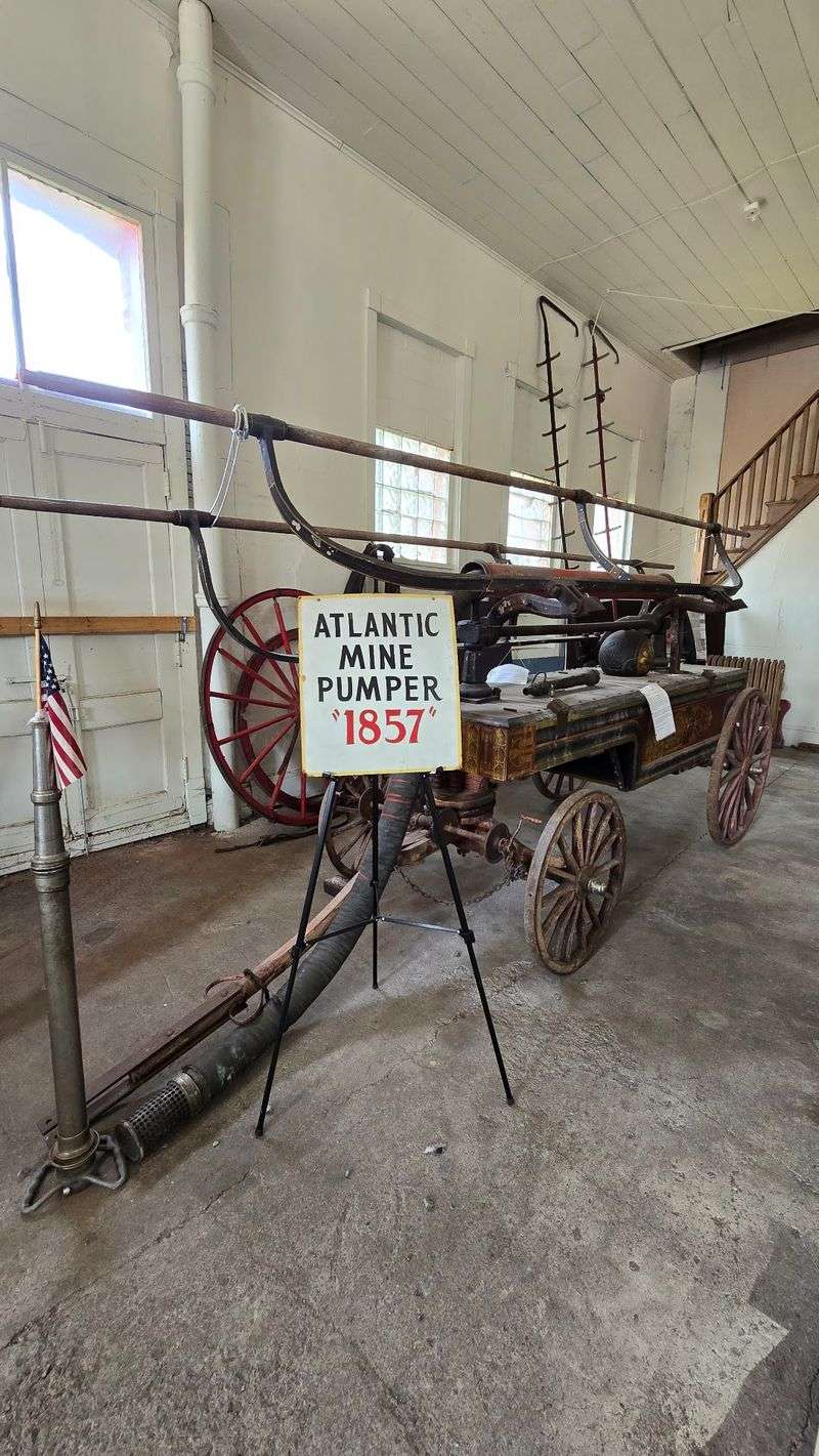
Calumet gives you a useful first stop before the road turns north.
The Calumet Visitor Center occupies the historic Union Building, which opened in 1889 and once housed businesses and fraternal organizations.
Today, exhibits explore the mining community, the people who lived there, and the copper industry that shaped the Keweenaw Peninsula.
The building also gives you a quick introduction to the architecture that appears around town. Local Jacobsville sandstone shows up throughout the Copper Country, especially on churches, civic buildings, storefronts, and other structures built during the mining era.
Take a short walk before getting back in the car. Downtown Calumet is compact enough to explore without turning the morning into a long detour, and the details are easier to notice on foot than through a windshield.
The visitor center operates on a seasonal schedule, with shorter hours in fall than during summer. If you want to begin inside, check the day’s hours before planning an early start.
From Calumet, US-41 points you toward the northern part of the peninsula and the forested stretch ahead.
US-41 Carries You Through A Tunnel Of Trees
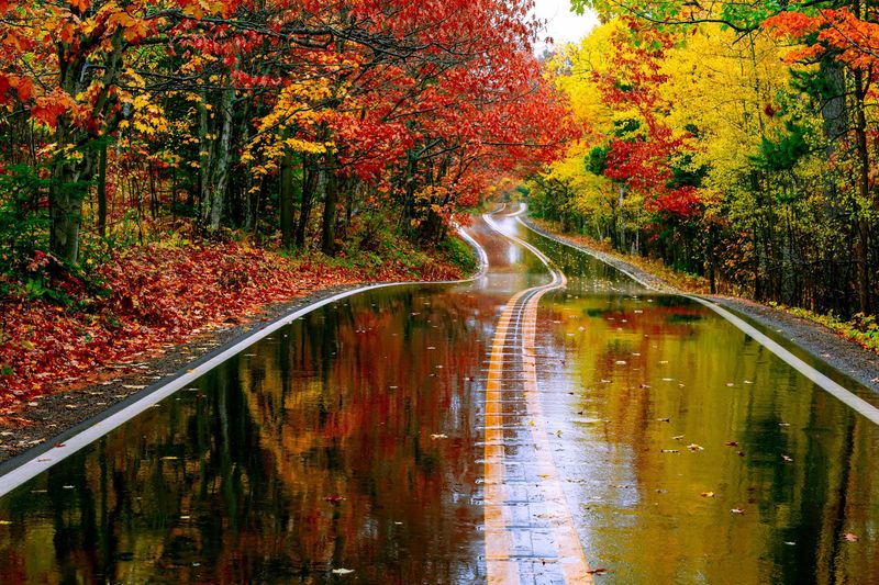
US-41 forms the main spine of the Copper Country Trail National Byway from Houghton to Copper Harbor.
North of Calumet, the road passes former mining communities and long wooded stretches where the tree canopy closes in over the pavement. In fall, maples, birches, and other hardwoods can turn the highway into a corridor of color.
Do not build the day around one exact peak-color date. Conditions shift with temperature, wind, rain, and elevation, so one section of the peninsula can be farther along than another.
The road itself is part of the experience, especially farther north where traffic thins and the woods begin to feel more continuous.
Use designated pullouts rather than stopping along narrow shoulders for photographs. Curves, changing elevation, and local traffic make the prettiest spot a poor choice if there is no safe place to leave the roadway.
An 85-mile fall route through the peninsula adds side roads through Mohawk, Gay, Lac La Belle, and other communities before returning to US-41.
If you have a full day, those loops add coastline, old industrial sites, and smaller communities. If time is tighter, staying on US-41 still carries you north through forested mining country toward Copper Harbor.
Copper Mining Sites Break Up The Scenic Miles
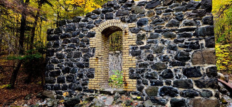
The Keweenaw landscape is not only forest and shoreline. Copper mining left visible marks across the peninsula, and several historic sites sit close enough to the fall route for an easy stop.
Central Mine is one example. The former mining community was once home to more than 1,200 people, and surviving miner homes, building sites, and short woodland trails help show how a remote copper settlement was laid out.
Two trails at the site pass house foundations, the former school location, and views from an upper rock pile. They are short enough to fit into a driving day without turning the stop into a long hike.
Elsewhere, shaft houses, industrial ruins, rock piles, and former company buildings appear between stretches of woods.
You can spend twenty minutes looking at an old structure, then be back under a canopy of leaves a few miles later.
Many historic attractions around the Keweenaw operate independently and keep seasonal schedules, so do not assume every museum or building will be open deep into fall.
Even when interiors are closed, the surviving landscapes and exterior structures still give the road more context than scenery alone.
Eagle Harbor Brings Lake Superior Into The Picture
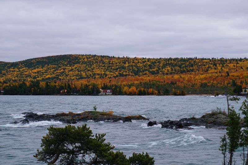
M-26 along the peninsula’s northwestern side trades some of the inland forest for Lake Superior shoreline.
Eagle Harbor makes a natural pause along that stretch. The community sits beside the lake, and the Eagle Harbor Lighthouse has stood there since 1871, continuing to serve as an aid to navigation.
The shoreline changes character quickly with the weather. On a calm day, the water can look almost flat. Wind can turn the same view into rolling waves and spray against the rocks.
That is reason enough to keep a warmer layer in the car even if Calumet felt comfortable. Temperatures near Lake Superior can feel very different from conditions a few miles inland.
Walk carefully near the shoreline and keep back from wet rocks when waves are active. The lake is impressive from a safe distance, and there is no need to test how slippery dark stone can become.
Museum access at historic sites can be seasonal, so treat the lighthouse and shoreline as the dependable parts of the stop unless you have checked current opening dates.
From Eagle Harbor, the road continues toward Copper Harbor with forest on one side and glimpses of the lake on the other.
Brockway Mountain Opens The View Above The Trees
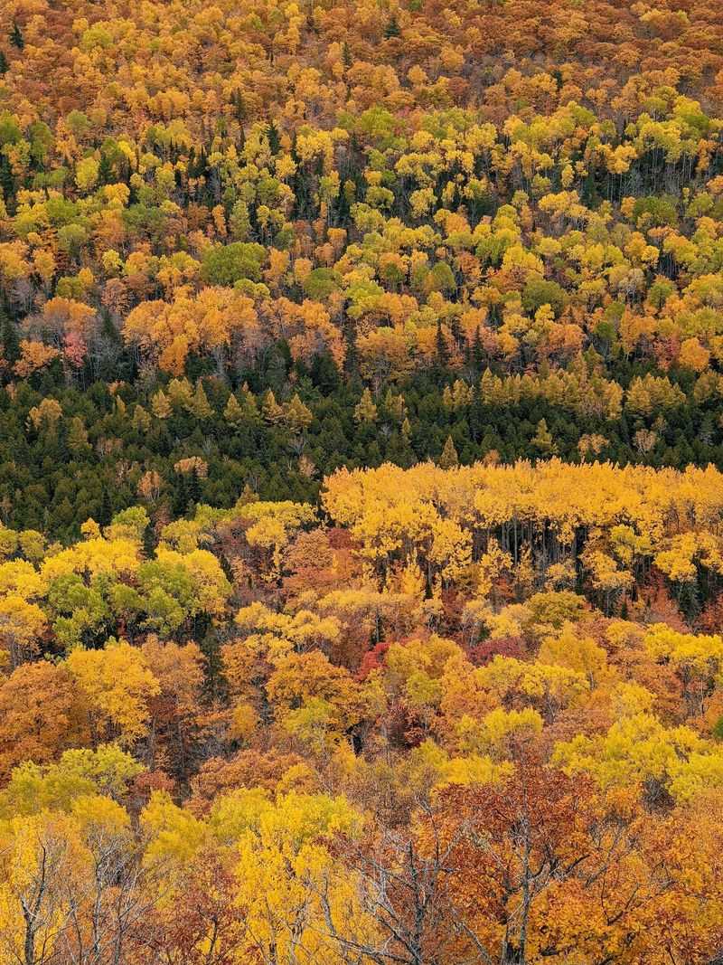
Near Copper Harbor, Brockway Mountain Drive climbs above the forest and changes the scale of the trip.
Instead of looking through trees, you can look across them. Pullouts along the road open onto broad views of the Keweenaw Peninsula and Lake Superior, which makes the mountain especially useful during fall color.
The road is maintained seasonally, so access depends on weather and time of year. During the normal fall-driving season, use the designated overlooks and keep an eye on changing conditions.
Wind can be much stronger at the higher viewpoints than it was down in town. A jacket that felt unnecessary earlier can earn its place here.
Clear weather gives you the longest sightlines, but clouds can move quickly over the lake and change the view within minutes.
If visibility is poor, do not force the stop just because it was on the plan. The mountain road includes curves and elevation changes, and another viewpoint may open up later in the day.
Bring binoculars if you have them, then spend a few minutes scanning the ridges and shoreline instead of immediately reaching for the camera.
The view is broad enough that fall color becomes less about individual trees and more about whole hillsides changing at once.
The Calumet Visitor Center Helps With The Practical Details
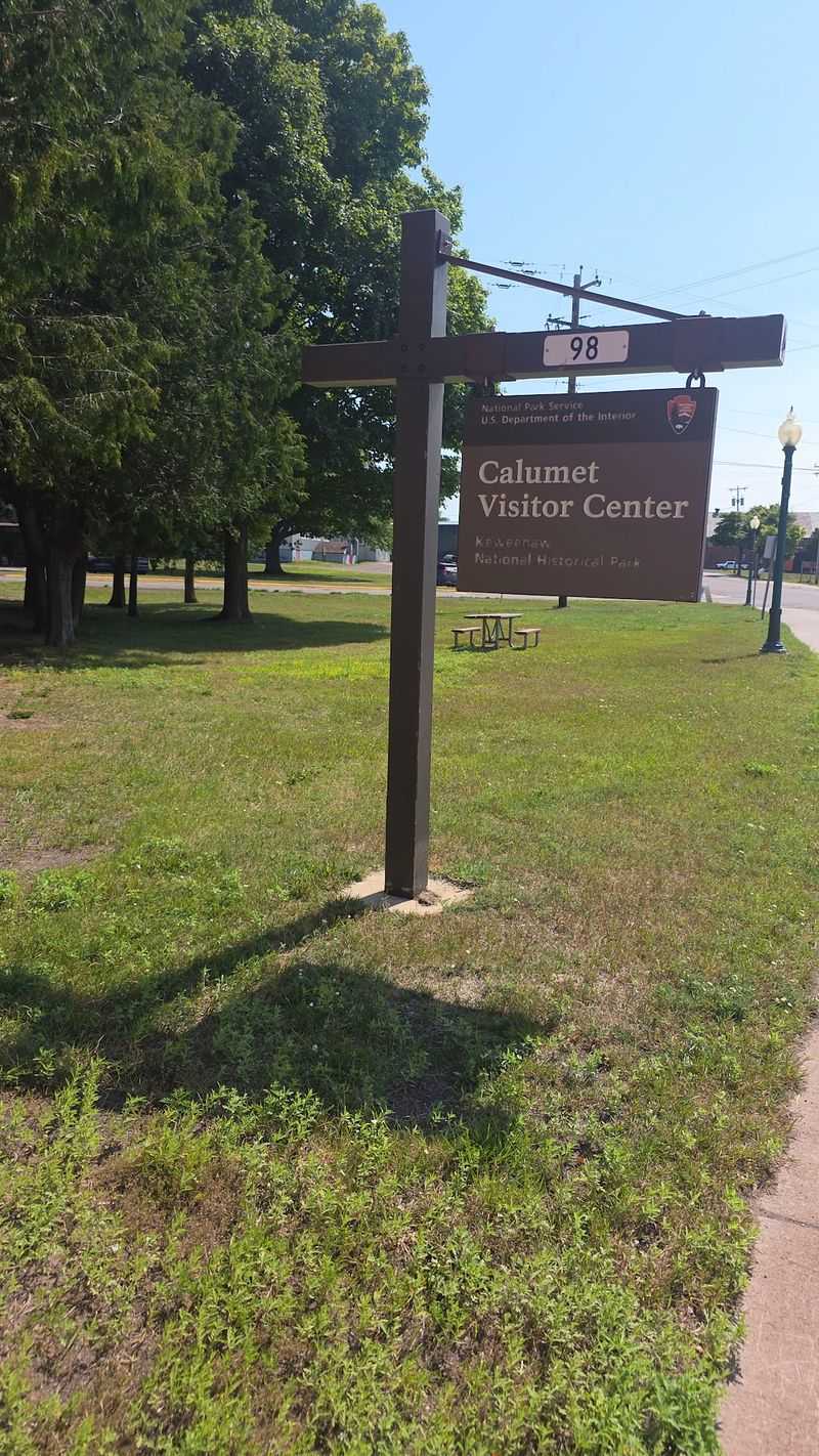
If you want a starting point for maps, exhibits, and current local information, the Calumet Visitor Center is at 98 Fifth Street, Calumet, MI 49913.
It sits near the entrance to historic downtown inside the Union Building and offers information about Keweenaw National Historical Park and its network of Heritage Sites.
Many museums and historic attractions around the peninsula are operated by partner organizations rather than directly by the National Park Service. Their schedules can differ, especially after the summer season ends.
Decide which indoor sites matter most before you head north, then let the outdoor stops fill the spaces between them.
The visitor center itself shifts to reduced fall hours after the main summer season, so an afternoon opening may work better than an early-morning start on some dates.
If you arrive before it opens, use the time for a walk through downtown Calumet and return later if your route allows.
Keep fuel, daylight, and meal plans in mind once you head north. Services become less frequent toward the tip of the peninsula, and a scenic detour can take longer than its mileage suggests.
A flexible schedule works better here than a minute-by-minute one.
Copper Harbor Gives The Drive A Natural Finish
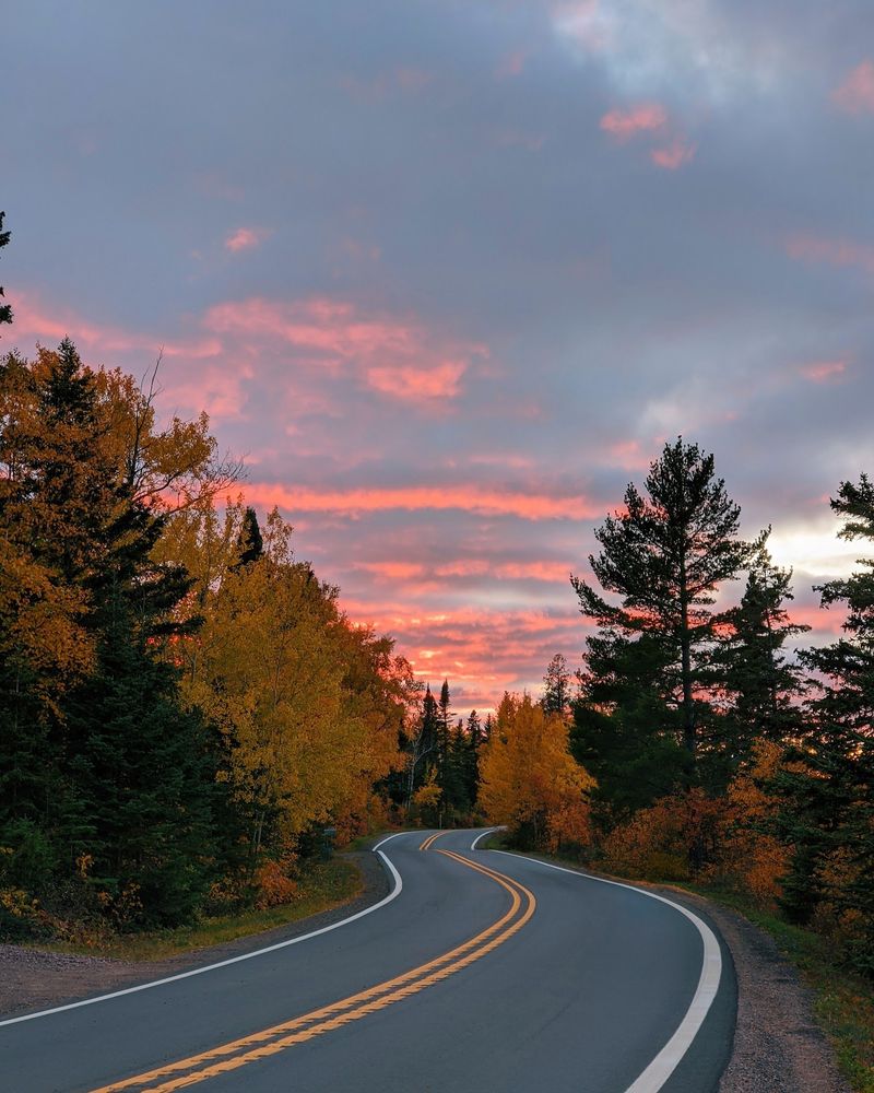
US-41 reaches its northern end at Copper Harbor, giving the drive a clear destination near the tip of the Keweenaw Peninsula.
The community sits between wooded hills and Lake Superior, with access to nearby trails, shoreline stops, Fort Wilkins Historic State Park, and Brockway Mountain Drive.
By the time you arrive, the landscape has shifted several times: historic streets in Calumet, old mining country, enclosed forest, open lake views, and high overlooks.
Fall also brings shorter days and more limited seasonal hours, so do not leave every stop for the return trip. Choose the places you care about most while there is still daylight to enjoy them.
Pack water and a few snacks, and top off the fuel tank before heading into the more remote northern stretch if needed.
Copper Harbor works well as a turnaround point, but it does not have to be the end of the day. You can circle back toward Eagle Harbor on M-26, revisit a mountain overlook, or stay near the shoreline as the light changes.
The drive from Calumet to Copper Harbor is not long on a map. Add mining history, lake stops, side roads, and autumn color, though, and the brakes get almost as much use as the gas pedal.