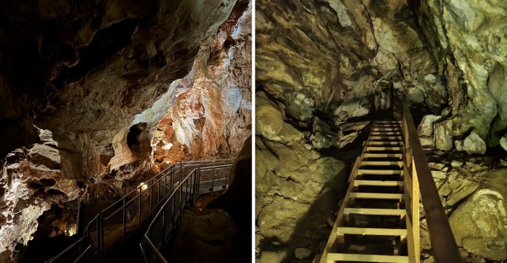
The map has a puzzle.
Every time explorers add another section, the cave seems to answer with more cave.
More than 220 miles of passage have already been mapped beneath the Black Hills. Even that enormous number may represent only a small piece of what is actually underground.
So nobody is drawing the final line yet.
Volunteer explorers still head into undeveloped passages with surveying equipment, extending a network that has been growing dramatically since the 1950s.
South Dakota visitors get a considerably easier introduction.
Guided tours take you below ground without requiring exploration gear or a talent for squeezing into the unknown. The monument is open in September 2026, with current tours offered Tuesday through Saturday.
Two hundred twenty miles on the map, and the cave still has not finished the sentence.
More Than 220 Miles Have Already Been Mapped
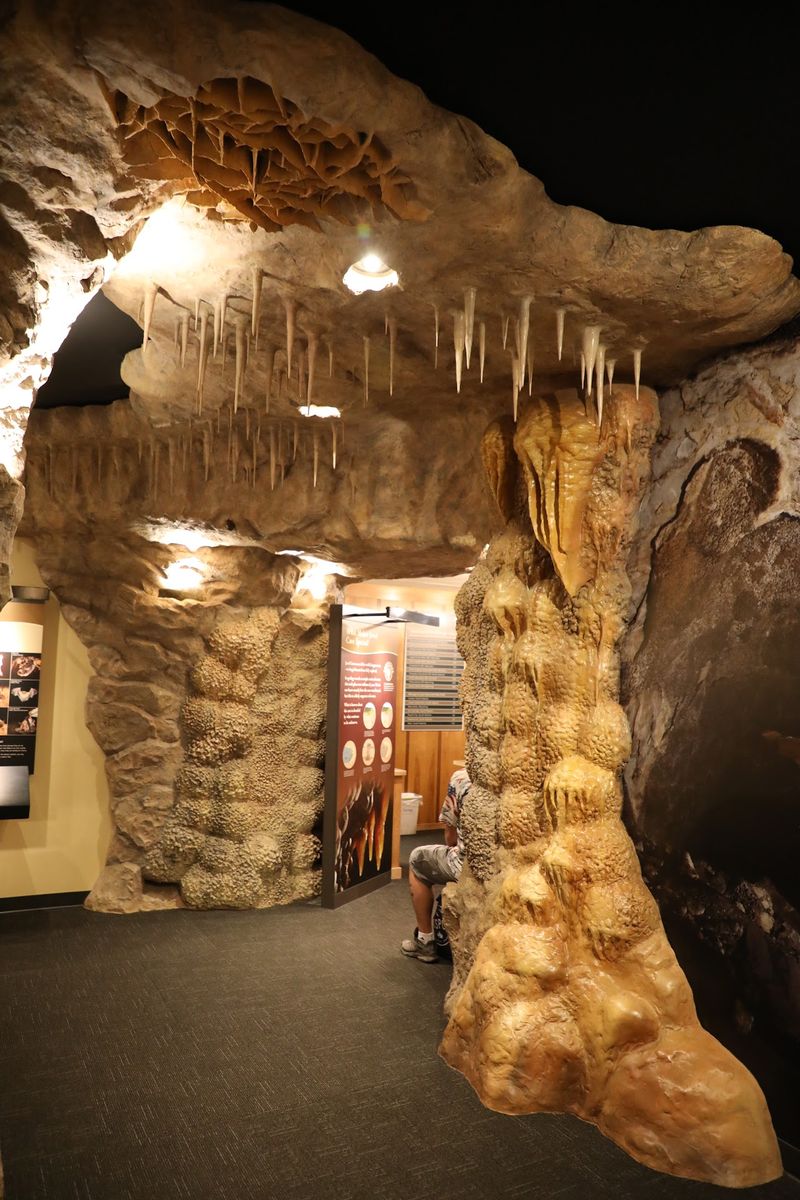
Jewel Cave is enormous even before the unknown sections enter the conversation. More than 220 miles of passage have been surveyed, making it the fifth-longest known cave in the world.
Those miles do not form one tidy tunnel. The cave spreads through a complicated three-dimensional network of rooms, narrow passages, crawlways, fissures, and routes sitting at different elevations.
Surveying all of that takes patience. Explorers measure distances, directions, and vertical angles between fixed points, then record the shape and features of each passage. Those measurements eventually become part of the larger cave map.
Some spaces are surprisingly large. The biggest known room, called the Big Duh, stretches about 570 feet long and averages roughly 90 to 180 feet wide. Jewel Cave also has a vertical extent of 822 feet from its highest known point to its lowest.
Then there are the opposite extremes: tight crawlways and narrow fissures where moving forward can become a slow puzzle.
The forest above looks ordinary, while beneath it sits a maze stretching for hundreds of miles.
Most Of The Cave May Still Be Undiscovered
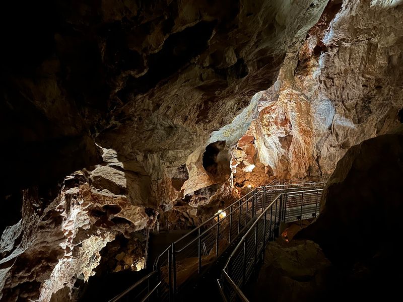
More than 220 mapped miles sounds close to complete until the airflow studies enter the picture. Research at Jewel Cave suggests the known passages may represent only about 3 to 5 percent of the entire cave.
Estimates based on that work leave room for another 5,000 to 7,000 miles of cave. That figure is an estimate, not a mapped total.
Airflow is one of the biggest clues. Since 2003, instruments have measured the speed, direction, temperature, and vertical movement of air at several points in Jewel Cave and other Black Hills caves.
Large cave systems react to changes in atmospheric pressure. As pressure outside shifts, air moves through openings and constricted passages while the underground and surface environments move toward balance.
At Jewel Cave, those measurements point toward a far larger underground volume than explorers have physically reached.
Some routes may be blocked, extremely tight, or difficult to reach.
Still, it leaves a substantial amount of unexplored space. The known cave may be huge, but the unknown portion could be much larger.
Strong Airflow Can Lead Toward New Passages
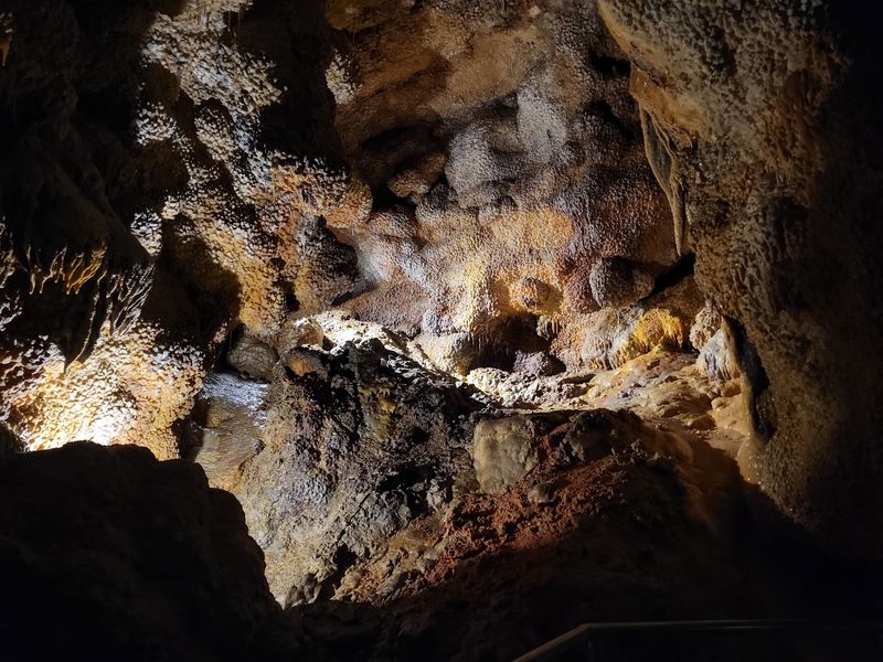
A breeze underground can be more useful than it sounds. In remote sections of Jewel Cave, strong airflow often draws attention because it can signal additional space beyond a narrow opening.
Explorers have followed that clue and added extensive new mapping. In 2014, a narrow fissure in the western branch showed strong airflow and became known as the Southwest Splinter.
Exploration beyond it eventually led to more than 24 miles of newly discovered passage and the first lakes found inside Jewel Cave.
That kind of breakthrough does not happen every time someone feels moving air. A promising opening can narrow, become impassable, or lead nowhere useful.
Still, airflow remains one of the strongest indicators that more cave may continue beyond the visible route.
The cave’s barometric behavior also explains why wind can feel surprisingly intense in certain places. Air gets funneled through constrictions as pressure changes between the underground system and the surface.
Public tours stay on established routes.
The fun comes from knowing that beyond the developed path, volunteer explorers are still following clues like airflow, open leads, and unexplored fissures. A tiny gap in the rock can be insignificant, or it can be the doorway to miles of passage that have never been surveyed.
Reaching The Frontier Can Take Hours
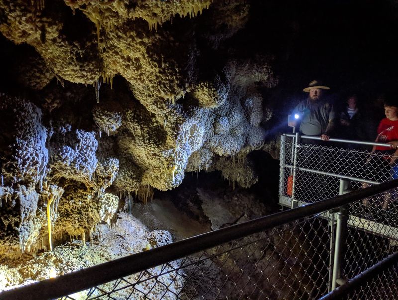
Exploring Jewel Cave becomes harder as the map grows. In the southwestern section, reaching the far edge of known cave can take more than 12 hours one way from the entrance area.
That distance changes how expeditions work. Deep Camp, established in 2016, sits about eight hours from the elevators and gives exploration teams a base for trips into remote sections.
From there, cavers continue toward the current frontier and begin the slower work of surveying new passage.
Some expeditions last as long as four days underground. That gives teams more useful time at distant leads without repeating the full journey to the surface after every work session.
Survey gear comes along too. A typical cave-survey kit can include a laser distance meter or measuring tape, compass, clinometer, camera, survey books, and route maps. Multi-day trips require additional sleeping and cooking equipment.
The pace is understandably slow. Finding a new passage is only the beginning. It has to be measured and documented carefully before it becomes part of the established map.
Visitors see formations and chambers on established routes, while survey teams may spend hours reaching the day’s mapping area.
Volunteer Cavers Keep Extending The Map
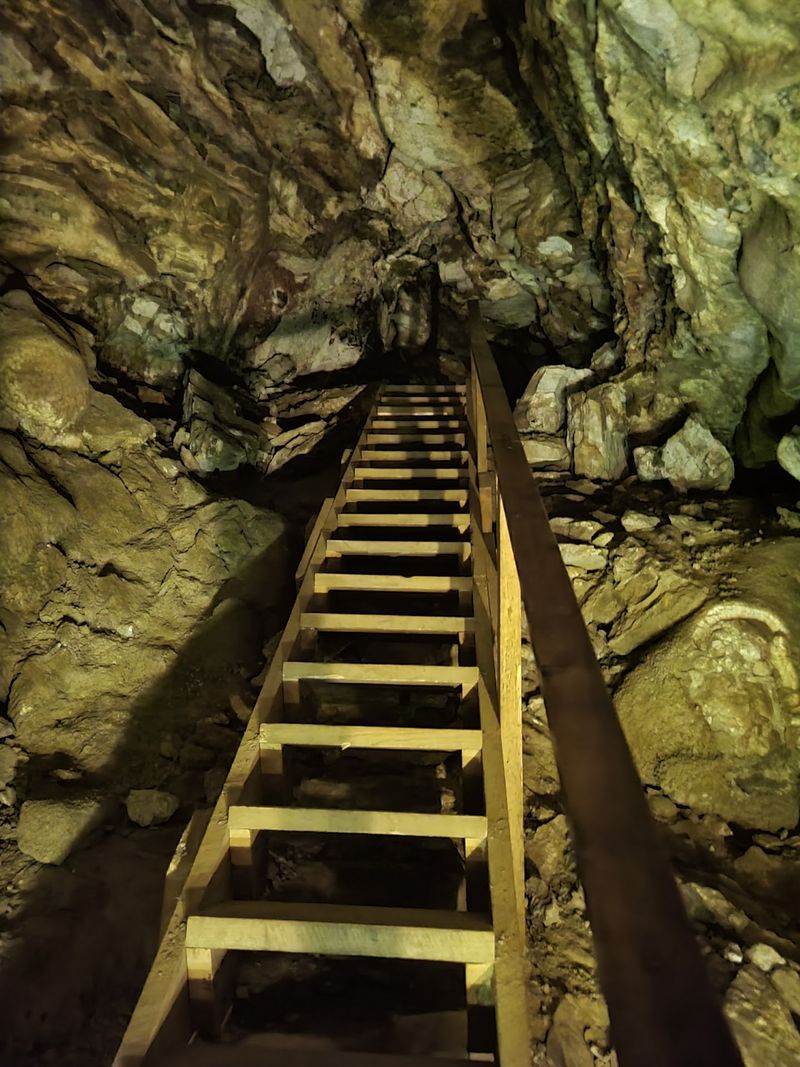
The people pushing Jewel Cave’s known boundaries are experienced volunteer cave explorers. They assist with surveying and mapping, water sampling, impact monitoring, and scientific data collection in undeveloped portions of the cave.
Joining that work requires much more than enthusiasm and a headlamp.
Exploration participants need previous caving experience, a strong conservation ethic, the ability to move through tight spaces, and enough endurance for long underground trips.
Qualified trip leaders oversee the expeditions.
Volunteer exploration has shaped modern understanding of Jewel Cave for decades. Herb and Jan Conn began intensive exploration in 1959 and spent more than 20 years working in the system. During that period, they discovered more than 65 miles of cave.
Their work also helped establish routes associated with today’s Scenic and Discovery tours.
Exploration continued after them, and the cave map kept expanding.
Every mapped total is therefore a snapshot rather than a finish line.
A future survey trip may add a short side passage, a major room, or another route extending deep into the Black Hills. The map grows only when trained people physically reach those spaces, measure them, and bring the information back.
Guided Tours Offer A Much Easier Way Underground
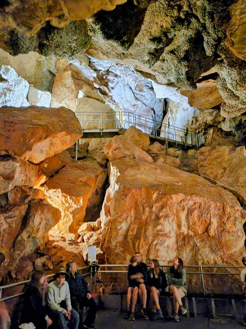
You do not need four days, survey equipment, or crawling experience to see Jewel Cave. Public access is through guided tours, and current fall operations make the choice fairly simple.
From September 8 through October 17, 2026, the visitor center is open Tuesday through Saturday from 8:30 a.m. to 4:30 p.m. Scenic and Discovery tours are offered during this period, with schedules subject to staffing and weather conditions.
The Scenic Tour provides the longer developed-cave experience, using paved trails and stairways to move through chambers decorated with calcite crystals and other cave features. The Discovery Tour is shorter and gives visitors a quicker introduction underground.
Advance reservations are recommended, while some tour spaces may be available on a first-come, first-served basis when staffing allows.
Clothing deserves a little thought before leaving the car.
Jewel Cave stays around 49 degrees Fahrenheit, so a sweater or light jacket is useful even when the Black Hills afternoon feels warm.
Open-toed shoes, sandals, and footwear with openings are not permitted on cave tours.
The visitor center is at 11149 U.S. Highway 16, Building B12, Custer, SD 57730.
Let the time available decide between the shorter introduction and the longer tour.
The Map Still Has A Long Way To Go
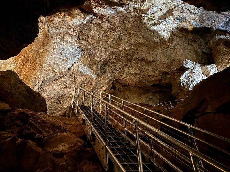
Stepping back into daylight creates an odd contrast. The Black Hills look solid enough from above, yet beneath part of that landscape stretches one of the longest known cave systems on Earth.
More than 220 miles have been mapped, but strong airflow and cave-volume studies continue to point toward much more underground space.
Some unexplored leads sit many hours from the developed entrance, making every additional survey mile a demanding piece of work.
That is also why the cave’s exact endpoint remains unknown. Explorers have reached the end of surveyed passages, not the proven end of the entire system.
For a September 2026 visit, the practical side is straightforward. Jewel Cave is open Tuesday through Saturday, and Scenic and Discovery tours continue through the fall schedule. Check the day’s tour availability before driving out, especially if a particular tour time matters.
Underground, notice the crystal-covered walls and how the passages change shape.
The cave’s only natural entrance lies in Hell Canyon, while modern visitors usually enter through developed facilities near the visitor center.
That difference between the natural opening and today’s tour access is another reminder that the underground network extends far beyond the small portion most visitors ever see.
Even the public tour routes cover only a small slice of the known system.
The developed route is only a tiny introduction to a system that continues far beyond public access. Somewhere past those familiar tour passages, another unexplored lead is still waiting for the next survey team to find out where it goes.